Snow Observations List
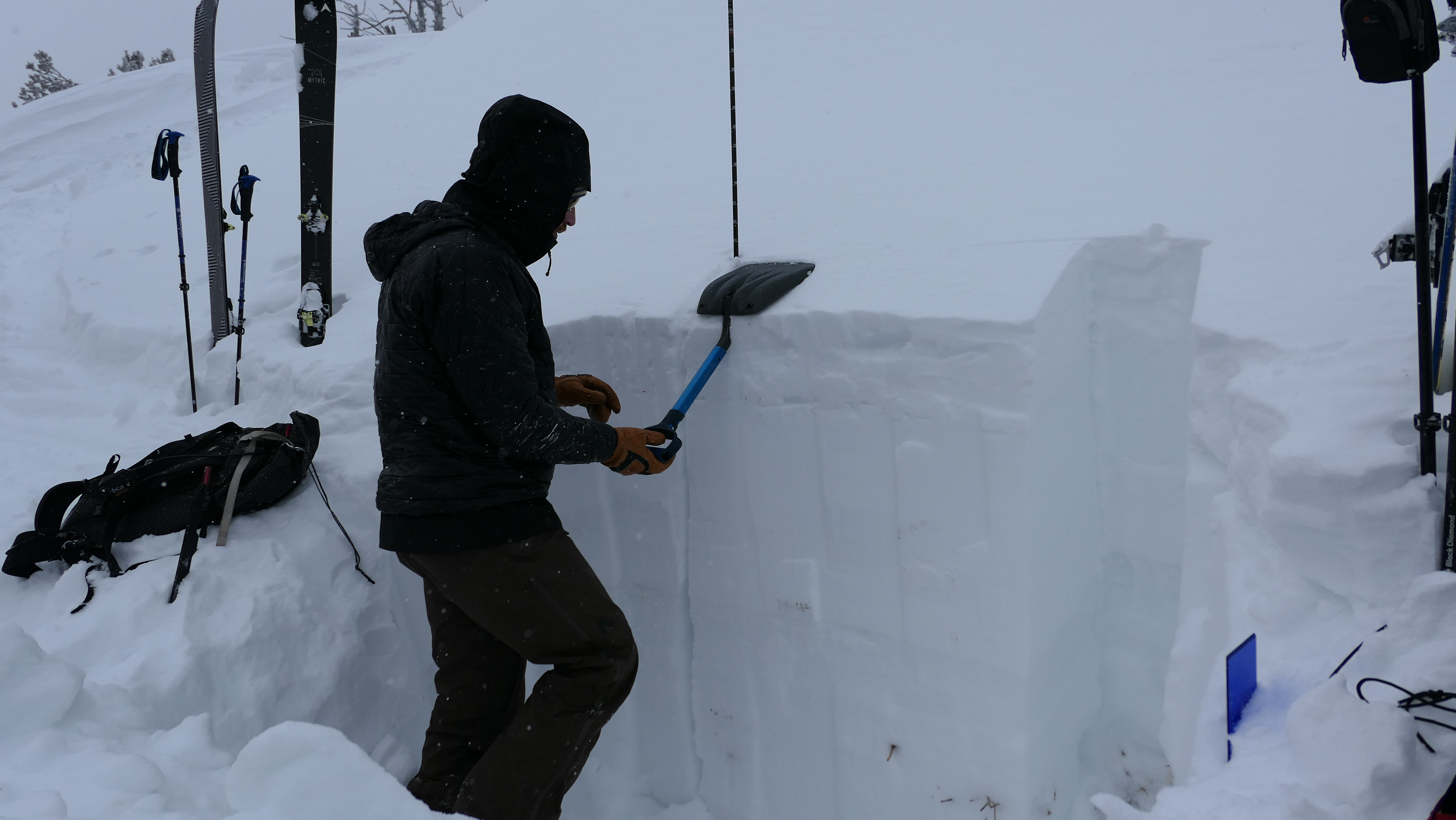
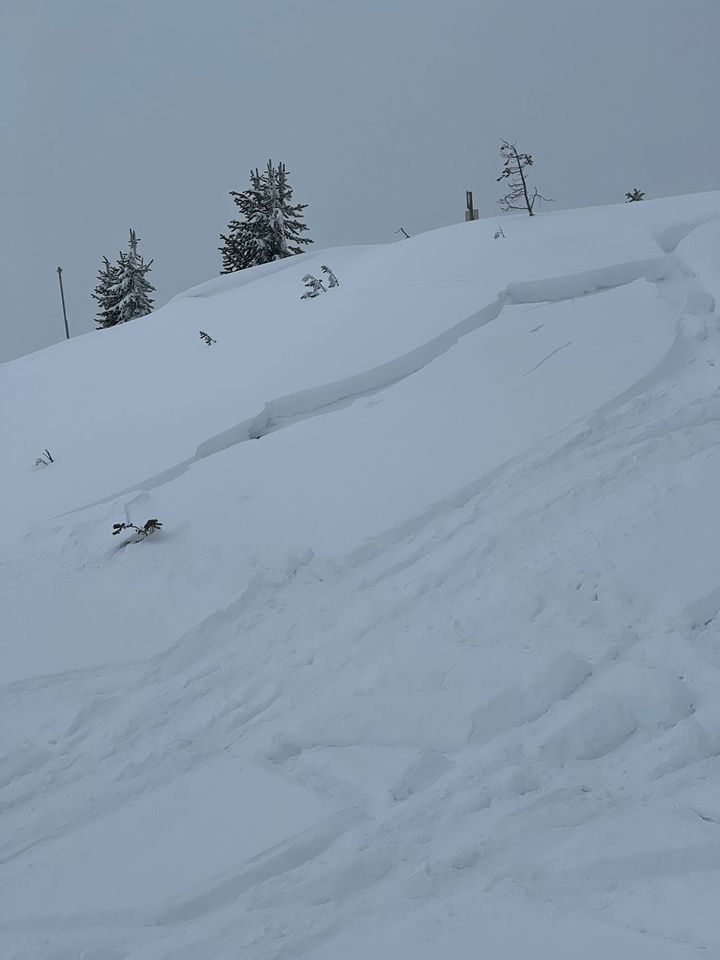
We snowmobiled up to 9,000' on Sawtelle peak, then skied to dig a couple pits. Our first pit was on an East aspect on a heavily wind loaded slope. The HS was 130cm (or 4.2 feet). There was 8" of new snow equal to 0.85" SWE, sitting over old consolidated snow that made up a slab over soft, weak facets about 50cm off the ground. We had ECTP24 x2 break on the old weak snow. Our second put was on a SW aspect and had an HS of 90cm (almost 3 feet). We got an ECTP19 here breaking on the same layer of very soft, weak facets. Wind was moderate out of the west-northwest with temps in the teens F. The new snow combined with the poor snow structure will increase avalanche danger this weekend. Video attached.
Full Snow Observation ReportRode up from Red Rock road to the backside of Two Top during an AIARE 1 course to evaluate snowpack. At point +044.622746 deg / - 111.247437 deg facing N82E at 8180 ft elevation on a 20 deg slope angle we found a wind loaded slope with 118 cm deep.
Hand hardness
From
0 - 15 cm - Fist
15-38 cm - 1 finger with rounds at .5 mm
38-40 cm - pencil melt freeze layer
40 - 50 cm - 4 finger with an ETCP - 23 was observed breaking at this layer in the snowpack
50 - 79 cm - 1 finger with rounds at .5 mm
79-80 cm - Pencil melt freeze later
80-94 cm - 4 finger a CTM - SC was observed at this layer
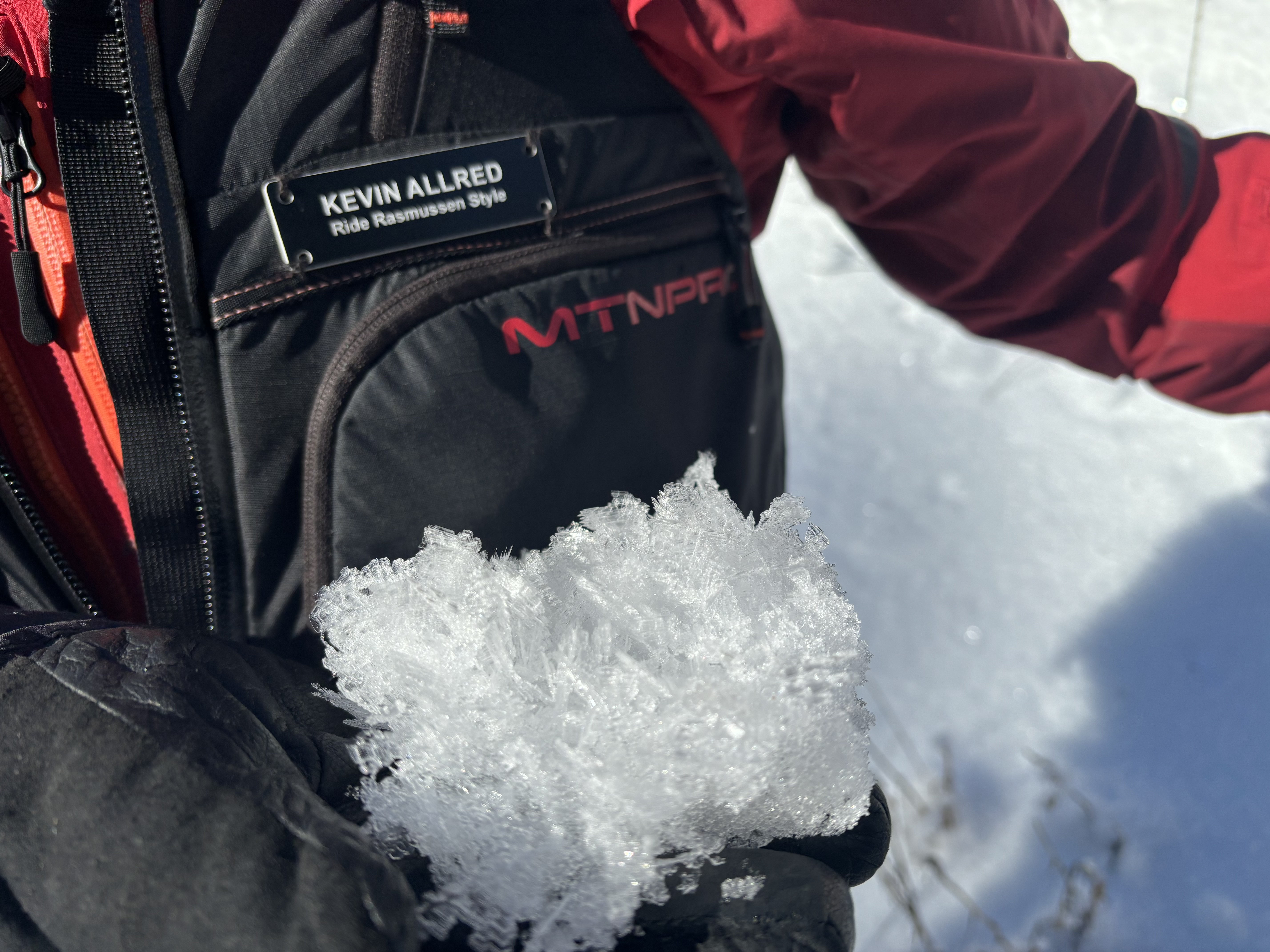
94 - 118 cm - 1 finger with deep facets and visible surface hoar
Full Snow Observation Report
From facebook message: "North facing slope 15 miles south of west Yellowstone probably 30ish degree slope. Probably 16-18 inch slab"
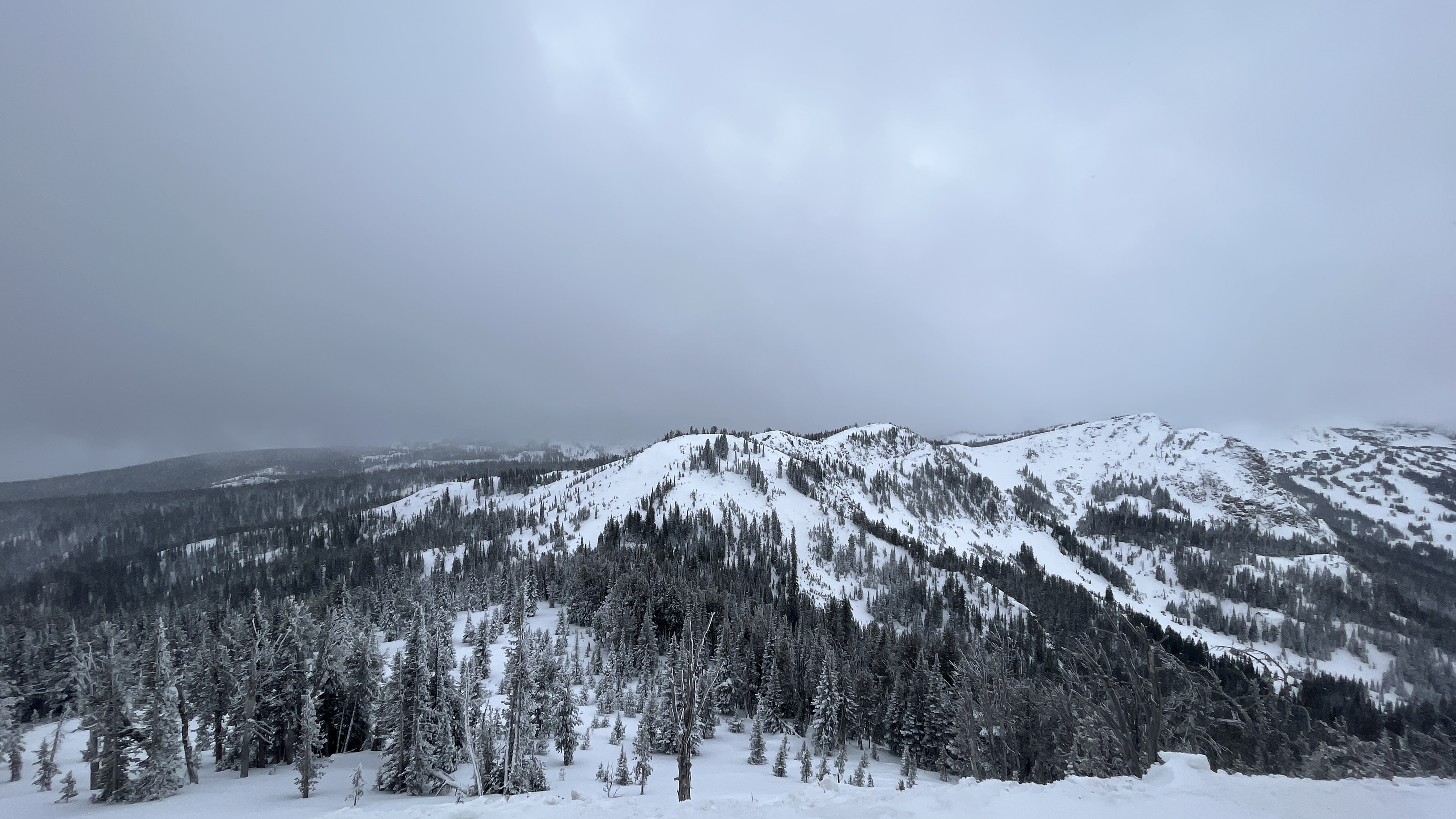
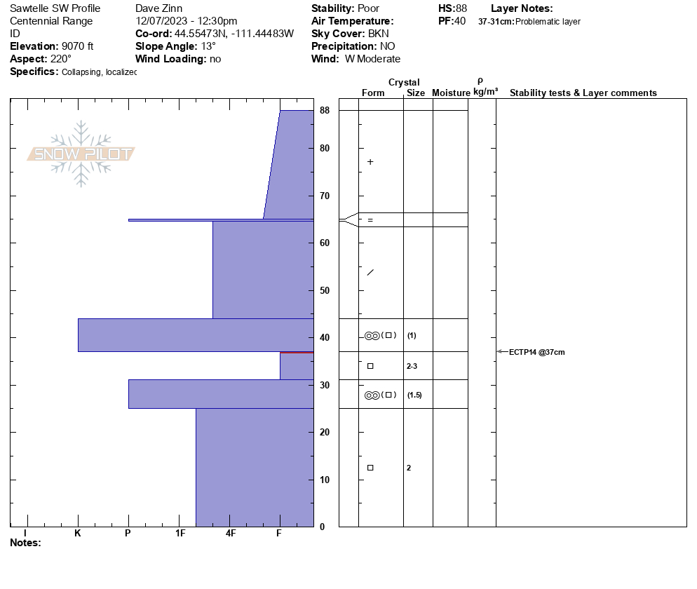
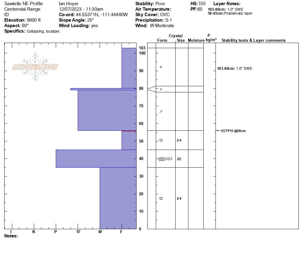
Full Snow Observation ReportThe snowpack at low elevations is thin (<1 foot). Off-trail riding looked questionable, and we let the sleds stay in one piece for another day or two. We went a cornice line at 9000.’ We walked over to our pit site on a NE facing slope, triggered a large collapse, and got an ECTP13 in a snowpack that resembled what Dave saw at Lionhead and Ian and Alex saw in Cooke City. There was 8” of new snow with 1” of SWE with a total snow height of just over 105cm.
Across the way, we dug on a SW-facing slope and found a similar snowpack structure although there were a few more ice crusts mixed into the 90cm deep snowpack (ECTP14).
We rode up a bit farther to get a view of the Jefferson Bowl and saw one, small natural avalanche that occurred within the storm snow.
There was no real way to navigate avalanche terrain without rolling the dice with the persistent weak layer that makes up the foundation of the snowpack. Avoidance is key.
Full Snow Observation ReportFrom FB Comment: "We were seeing shooting cracks in the snow Sunday in the Black Canyon area."
Full Snow Observation ReportUser comment on FB: "Lotta slides in black canyon island park."
Full Snow Observation ReportWas splitboarding up near lions head ridge today. Made some bad decisions and kicked off a good slide in a NE facing chute. Was with 2 buddies, 1 of which skied the line 3 weeks ago. Underneath about a foot of new powder snow there was a firm crust that seemed like it was old hard windslab in the gut of the chute, and I think a sun crust on the riders left side(East aspect). We had 2 spots where we were planning to re group at, first was a small cubby area right before a slight rollover about 75 ft from the top. I dropped first, made some turns down toward the pulloff, as I pulled in, I triggered a good size slab that propagated maybe 40-50 ft across, at the rollover as I carved into the pulloff. Pulled all snow out of the chute down to the ground. Seemed to have failed on sugary facets on ground/ice crust close to the ground...
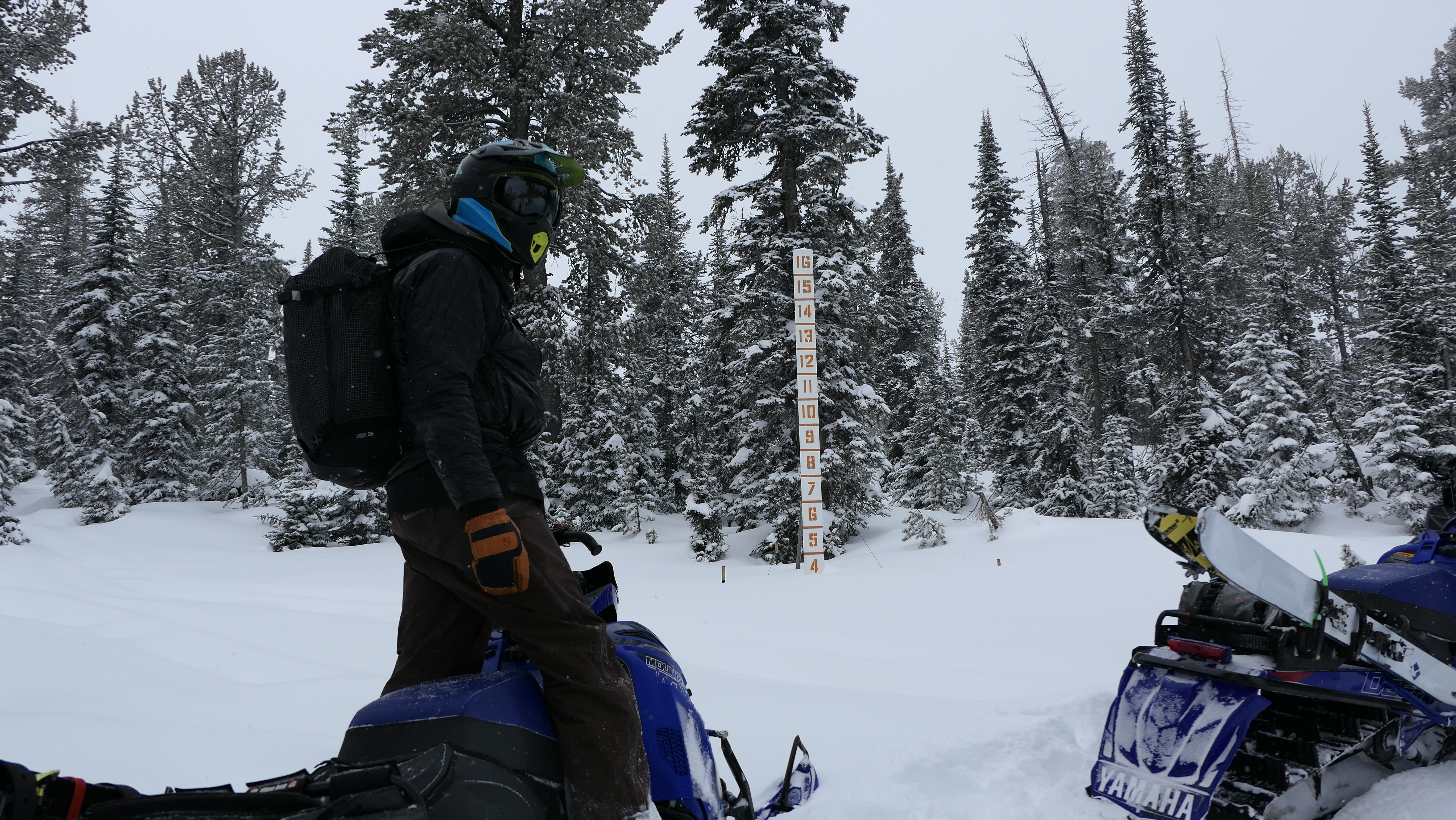
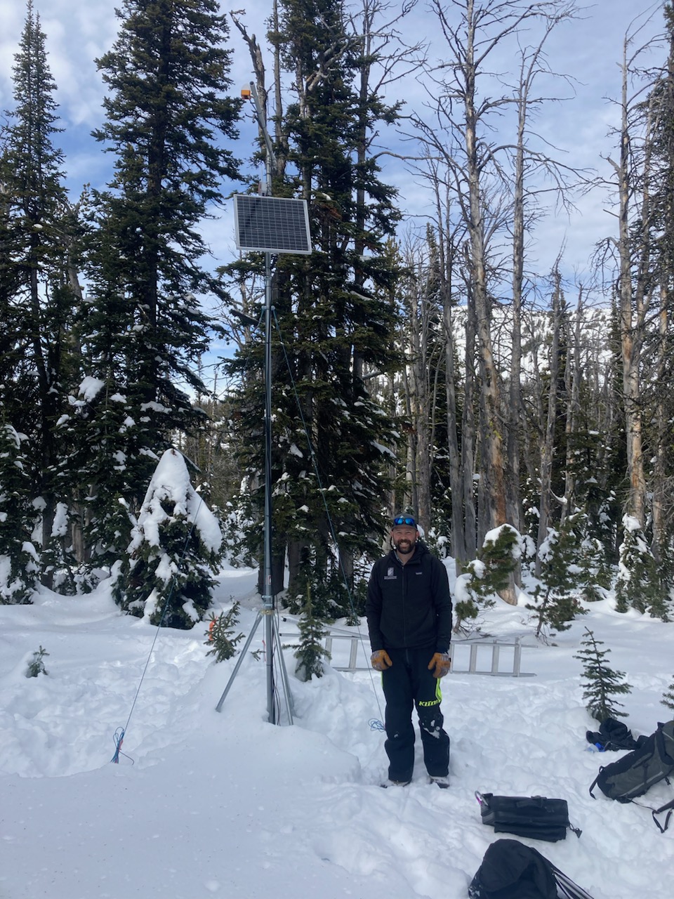
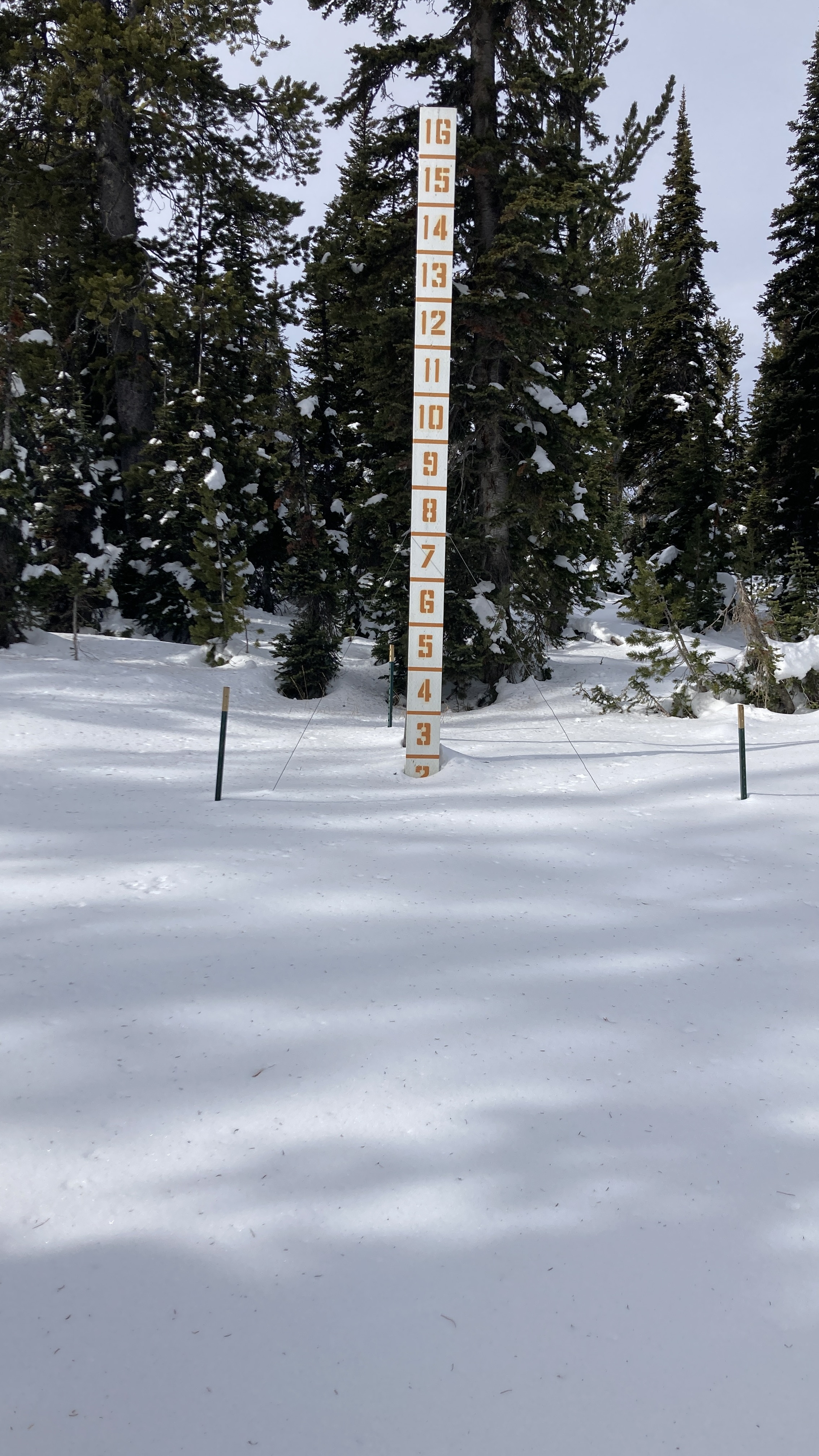
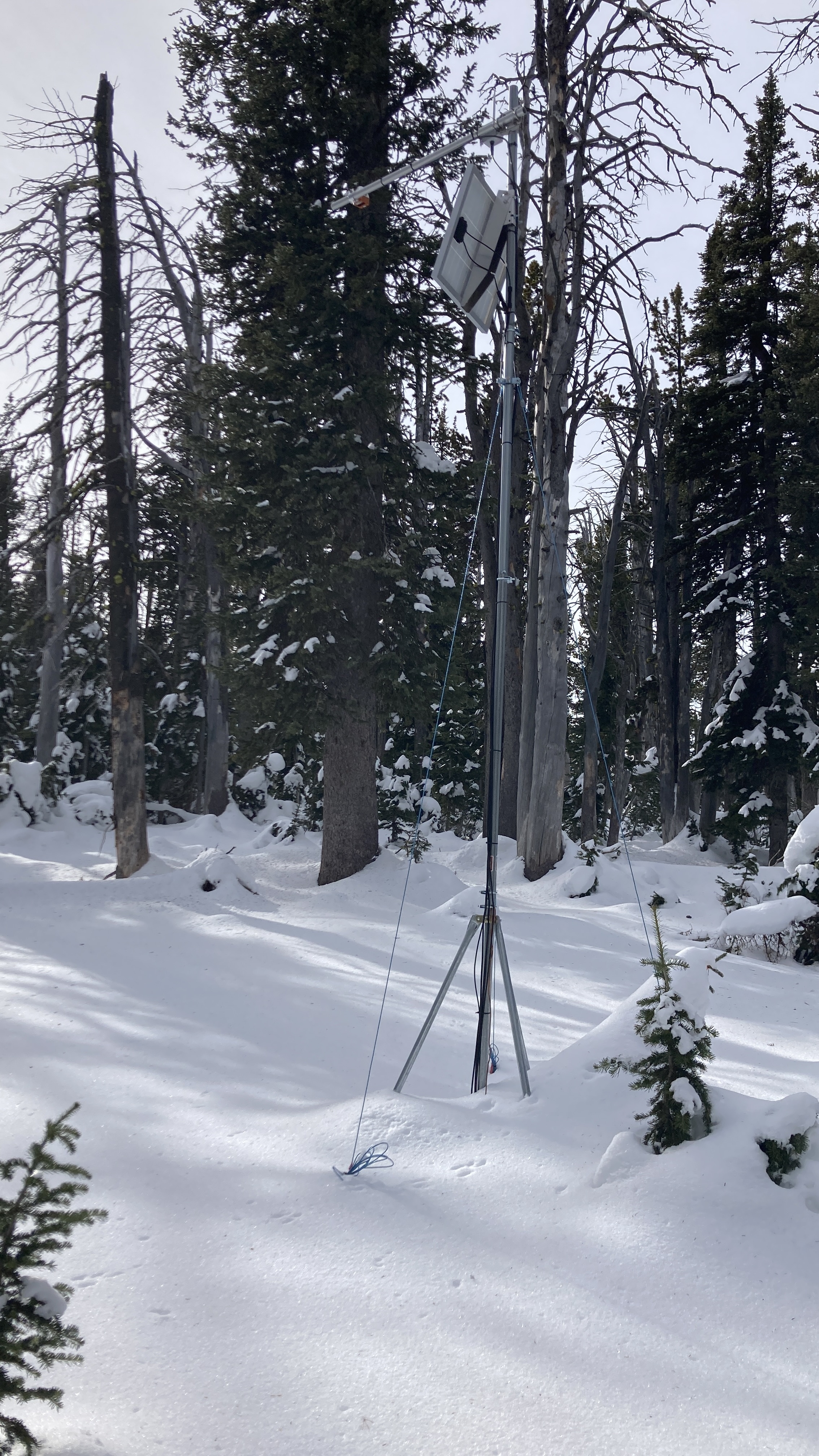
Full Snow Observation ReportWent to do maintenance on the Sawtelle Snowfall weather station at 8800 ft just off the Sawtelle Mountain Road. Continuous snowcover starts around 8000 ft. At 8800 ft there is ~20" of snow with a mix of hard crusts and weak facets. These weak layers near the ground will be something to watch once snows again.
Full Snow Observation Report
