
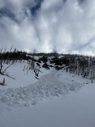
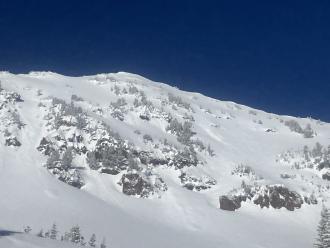
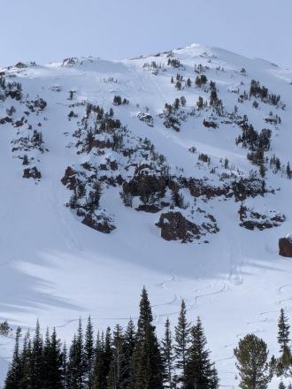
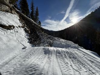
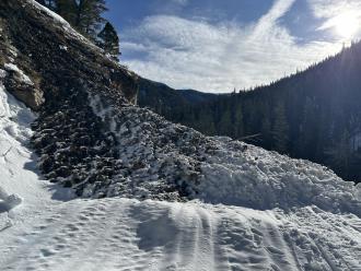
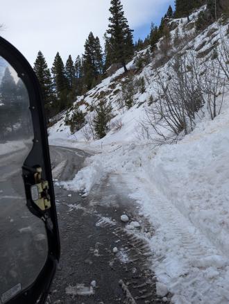
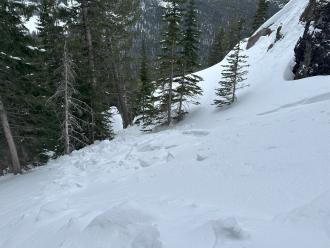
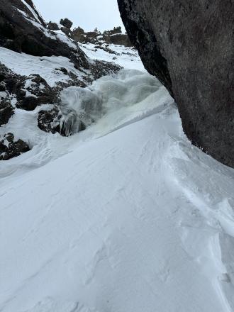
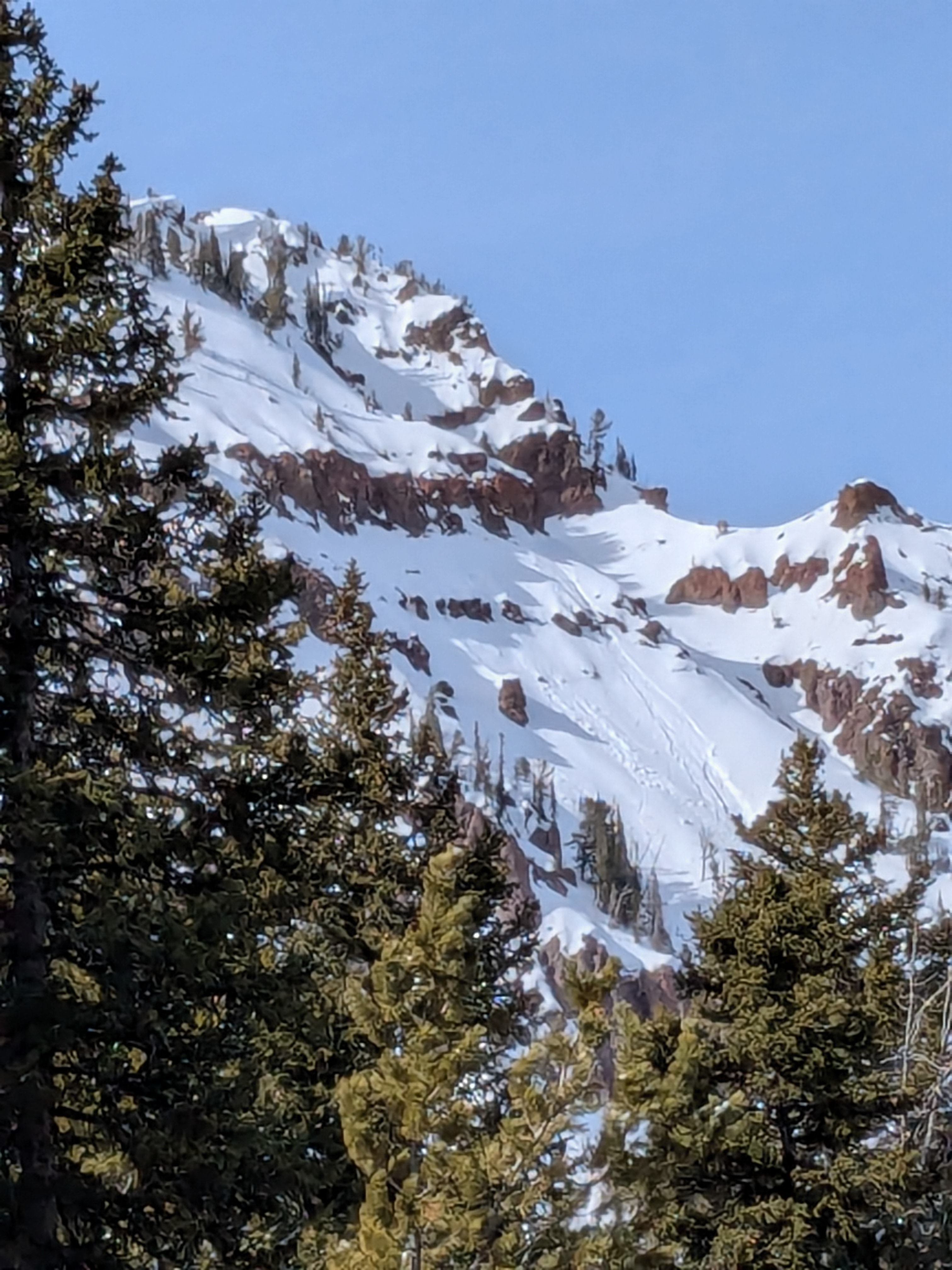
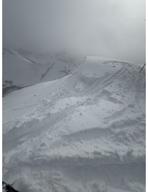
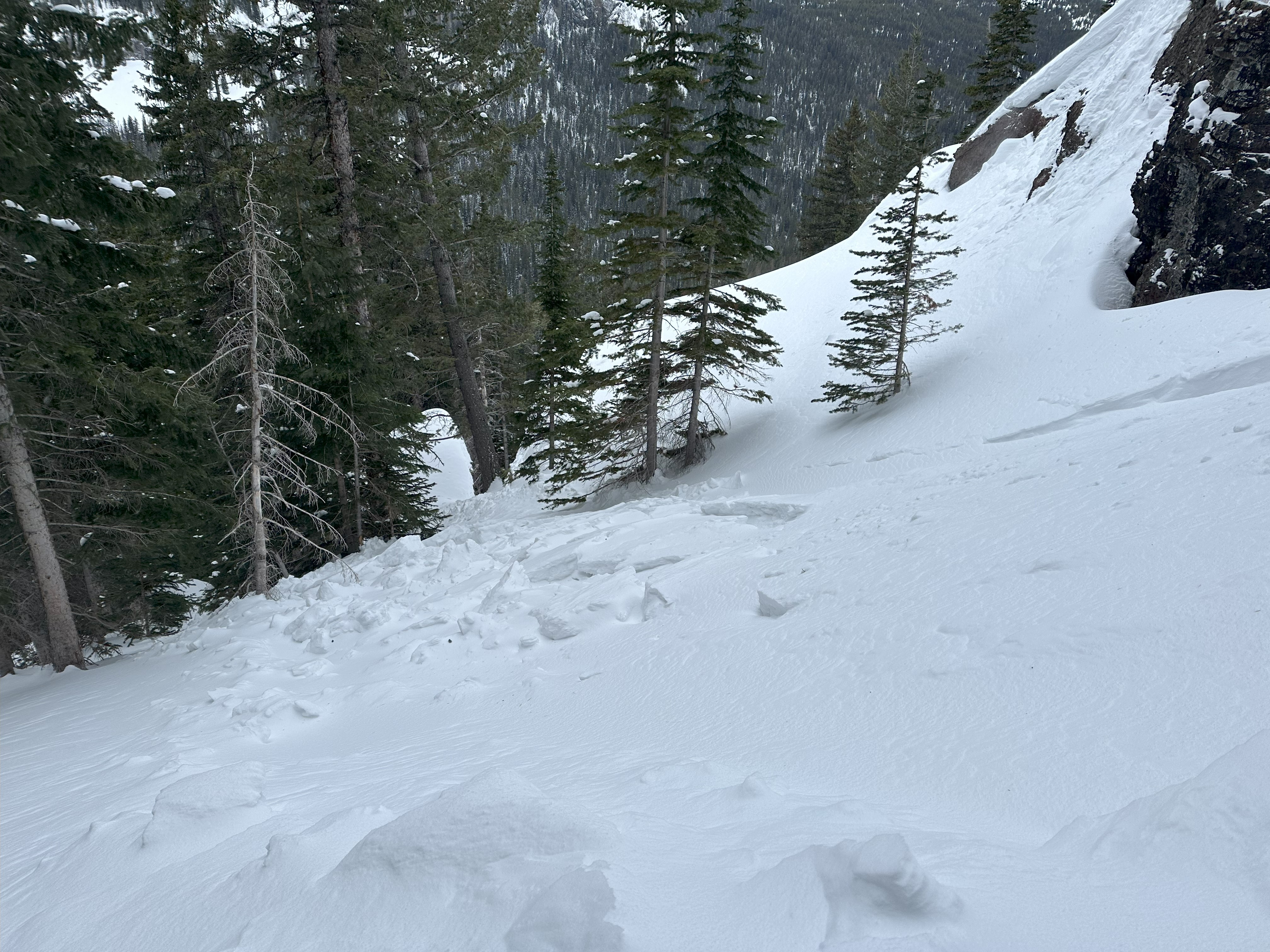
This wet loose avalanche is a great example of where they often occur. Rocks absorb extra heat from the sun and can quickly melt and destabilize the snow. Either move under areas like this early in the morning (as we did), or if you have to travel under them later in the day, move quickly.
Trip Planning for Northern Gallatin

Primary Problem: None
Bottom Line: Spring weather can be highly variable and create a mix of avalanche problems to watch out for. Snow conditions and snow stability can change drastically from day to day or hour to hour. Anticipate rapid change and plan accordingly. Plenty of snowfall over the winter with more spring snow to come makes avalanches possible into summer.Past 5 Days
Mon Apr 21

None
None
Fri Apr 25
None
None
Mon Apr 28
None
None
Fri May 2
None
None
Mon May 5
None
None
Relevant Photos
Displaying 1 - 40
-
-
-

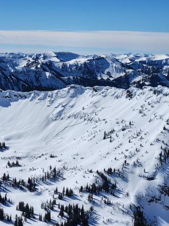
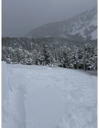
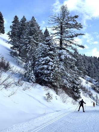
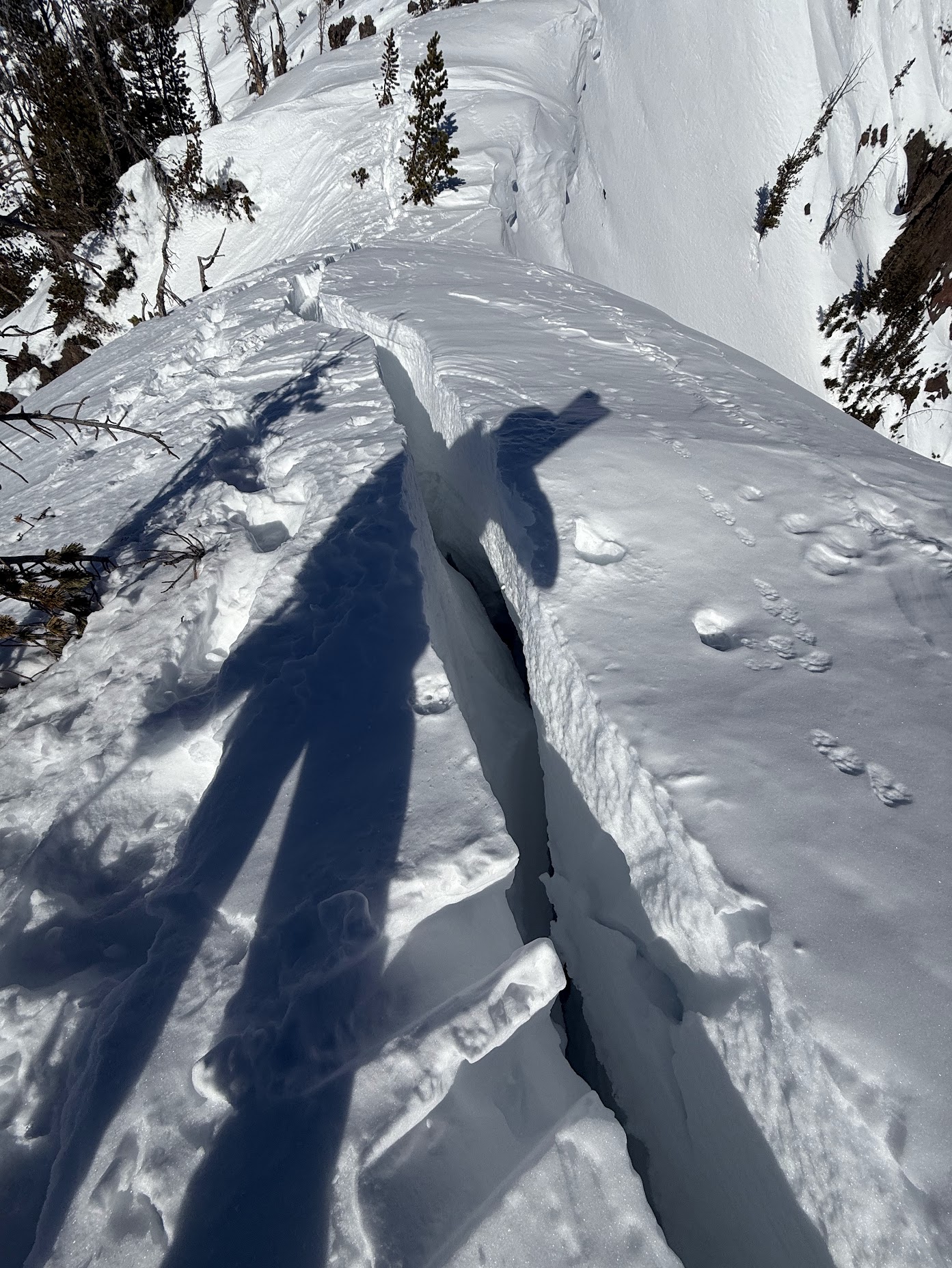
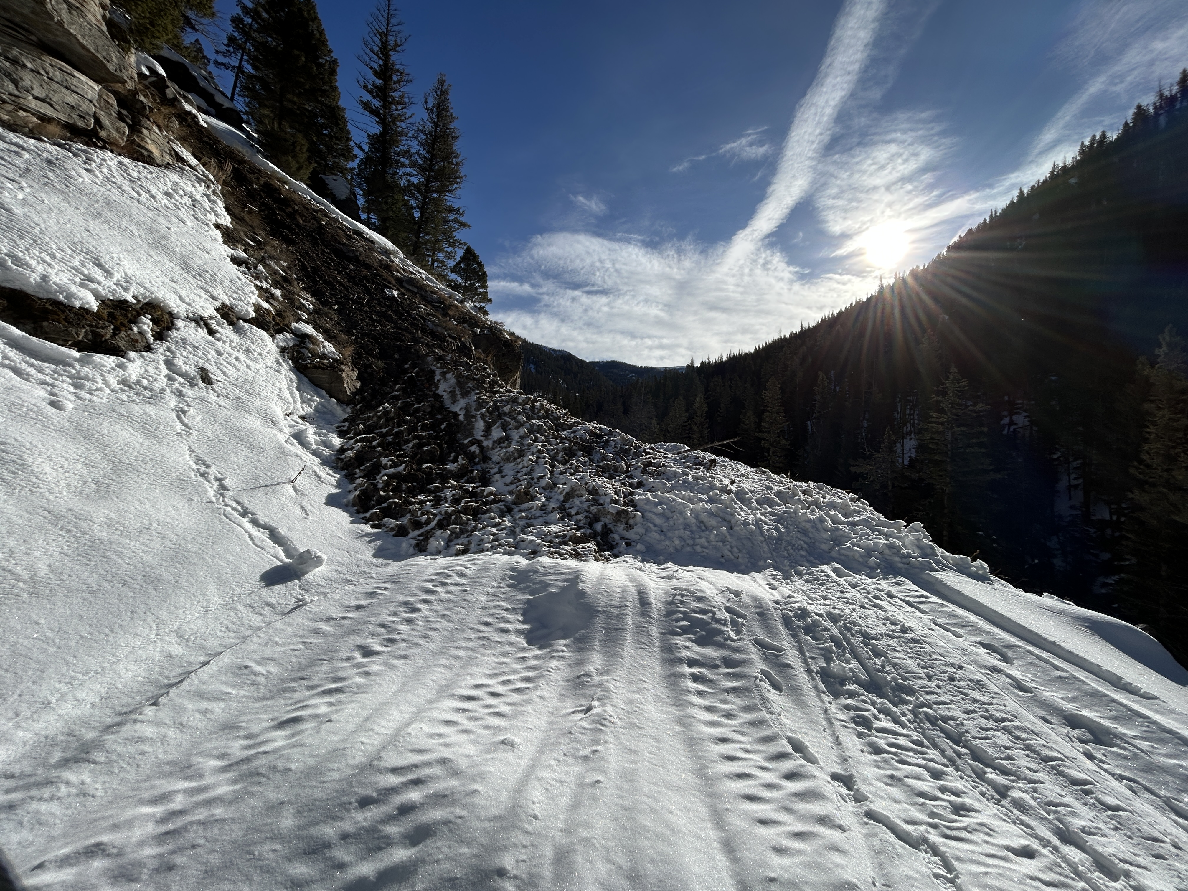
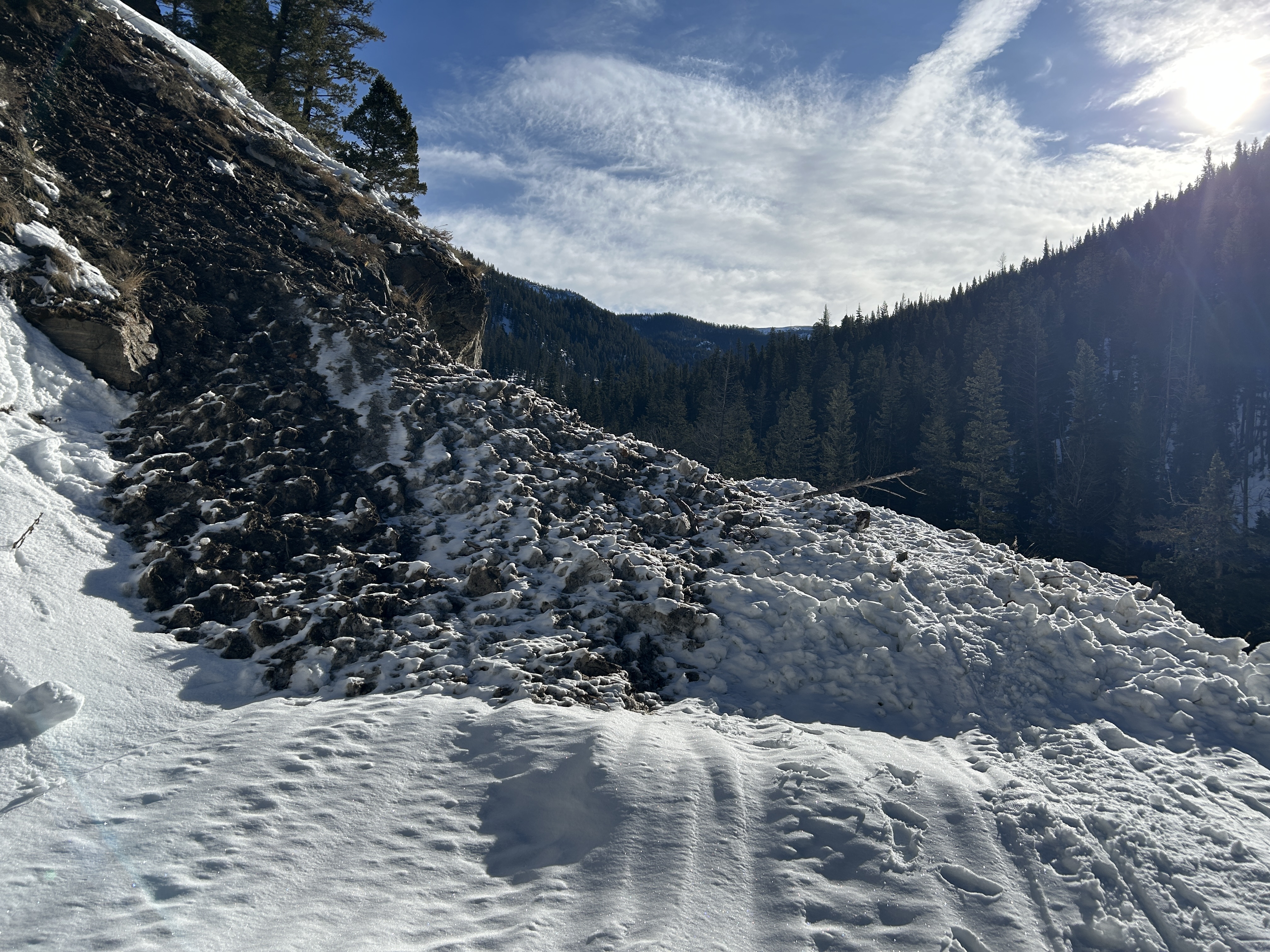
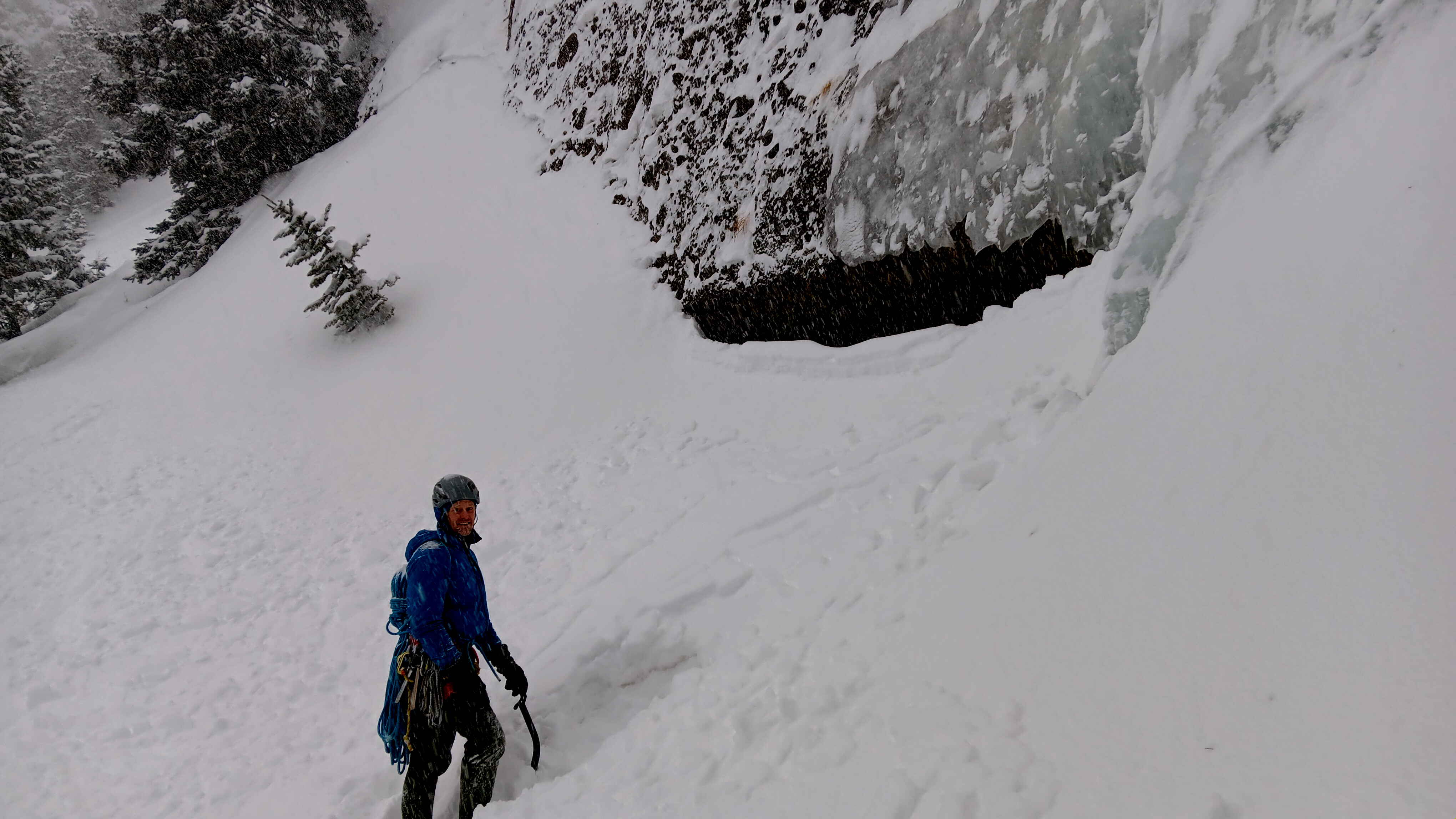
We went through Flanders' Creek to the Flanders Weather Station to pull it for the season. We descended to the Grotto Falls TH via the Winter Dance Route. The surface snow got wet as the day progressed, but we saw no wet snow avalanche activity. I wouldn't be surprised if there was limited activity as the day progressed.
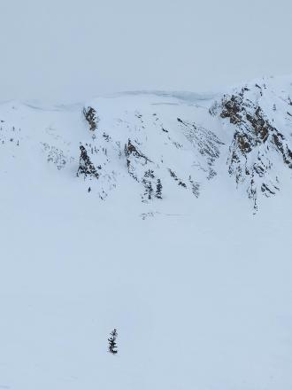
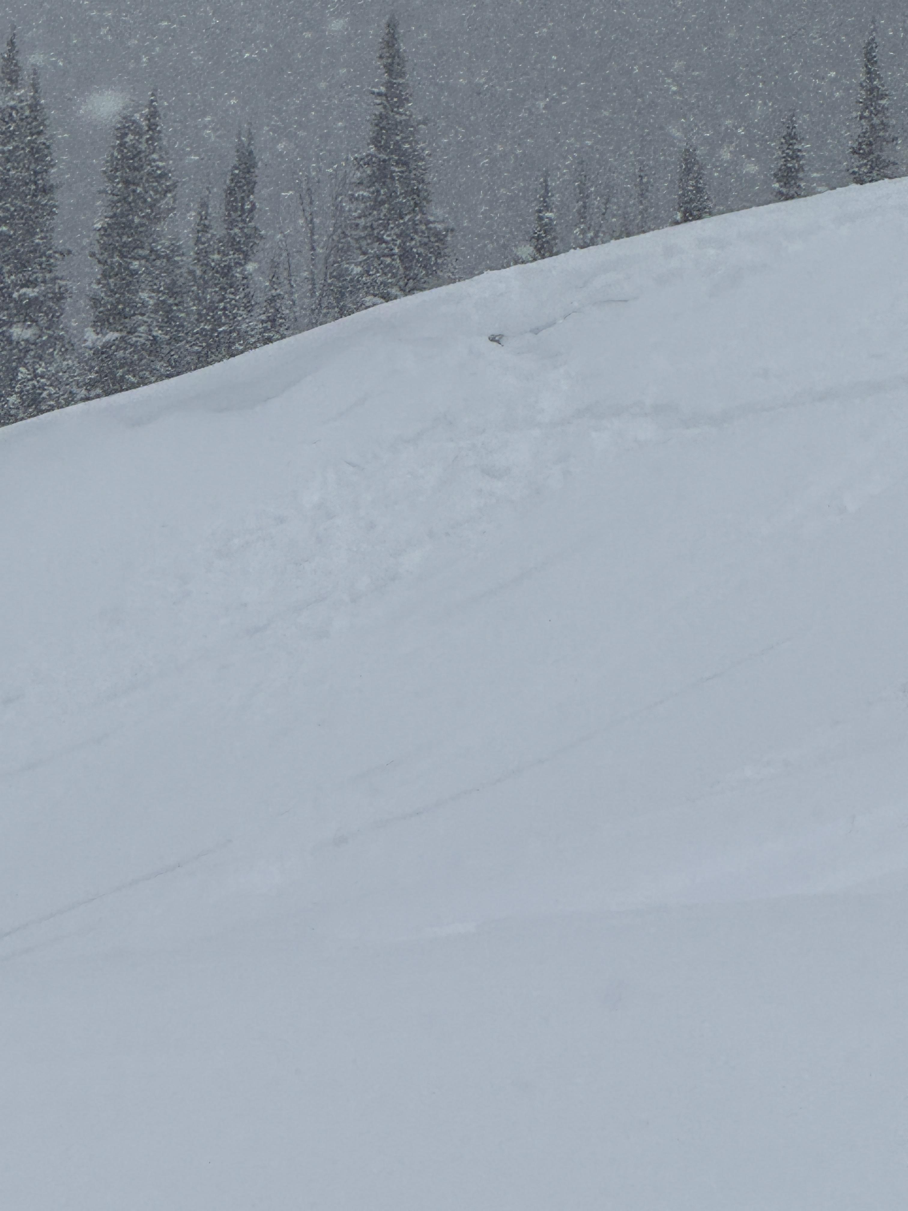
Recent warm temperatures have almost universally affected snow surfaces. North-facing slopes above 9500' elevation remain dry, and pockets of dry snow exist at lower elevations on shaded slopes. South-facing slopes have cycled a few times, and the corn snow is coming in reasonably well.
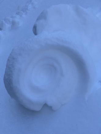
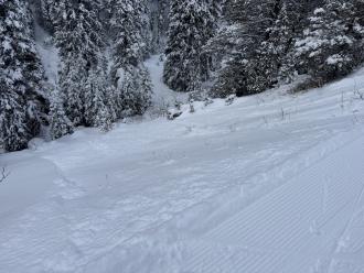
There were no signs of dry snow instability. Photo: GNFAC
-
-
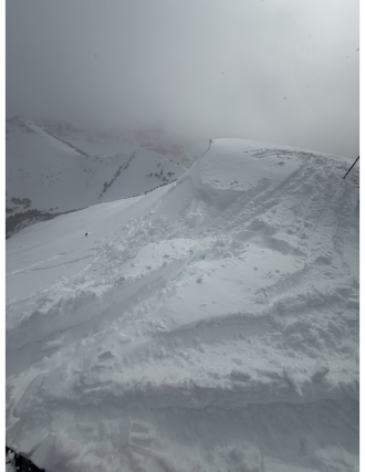
The 12" of snow since yesterday fell right-side-up and had little to no slab properties. This new snow rests on a stout melt-freeze crust from the high temperatures last week. Photo: GNFAC
-

Understanding Avalanche Safety Preparedness – 5-Minute Survey for Motorized Users
We need your input! Eastern Oregon University is conducting a survey to better understand avalanche safety preparedness among motorized backcountry users like you. Your feedback will help us learn more about who is purchasing and practicing with avalanche rescue gear (beacon, probe, shovel) and participating in avalanche education—and why some riders aren’t. The survey is confidential and anonymous.
Your feedback is invaluable in improving avalanche education and awareness. Please take a moment to share your experience and help us make a difference.
https://eoustmhs.qualtrics.com/jfe/form/SV_3L8QKAuZzcxJBLo
Thank you for your time and for being a part of this important effort!
-
This small wind slab avalanche failed on Mt Blackmore on Sunday. Photo: C Rendeiro
-
Debris pile from a small wind slab avalanche on Mt Blackmore. Photo: C Rendeiro
-
From obs: "Multiple natural loose avalanches in the steep terrain of mt Blackmore. All originated at the base of cliffs or trees. Counted 4 prominent ones."
Photo: M. Stern
-

Saw lots of small loose avalanches on Mt Blackmore and nearby slopes, some appeared to be natural and others skier triggered. We saw multiple dry loose on N and E aspects and a wet loose on a southeast aspect. Photo: H Meyers
-
Saw lots of small loose avalanches on Mt Blackmore and nearby slopes, some appeared to be natural and others skier triggered. We saw multiple dry loose on N and E aspects and a wet loose on a southeast aspect. Photo: H Meyers
-

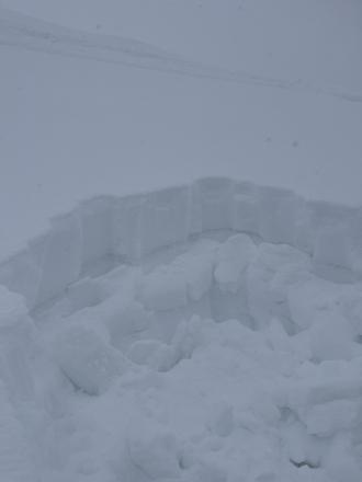
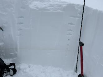
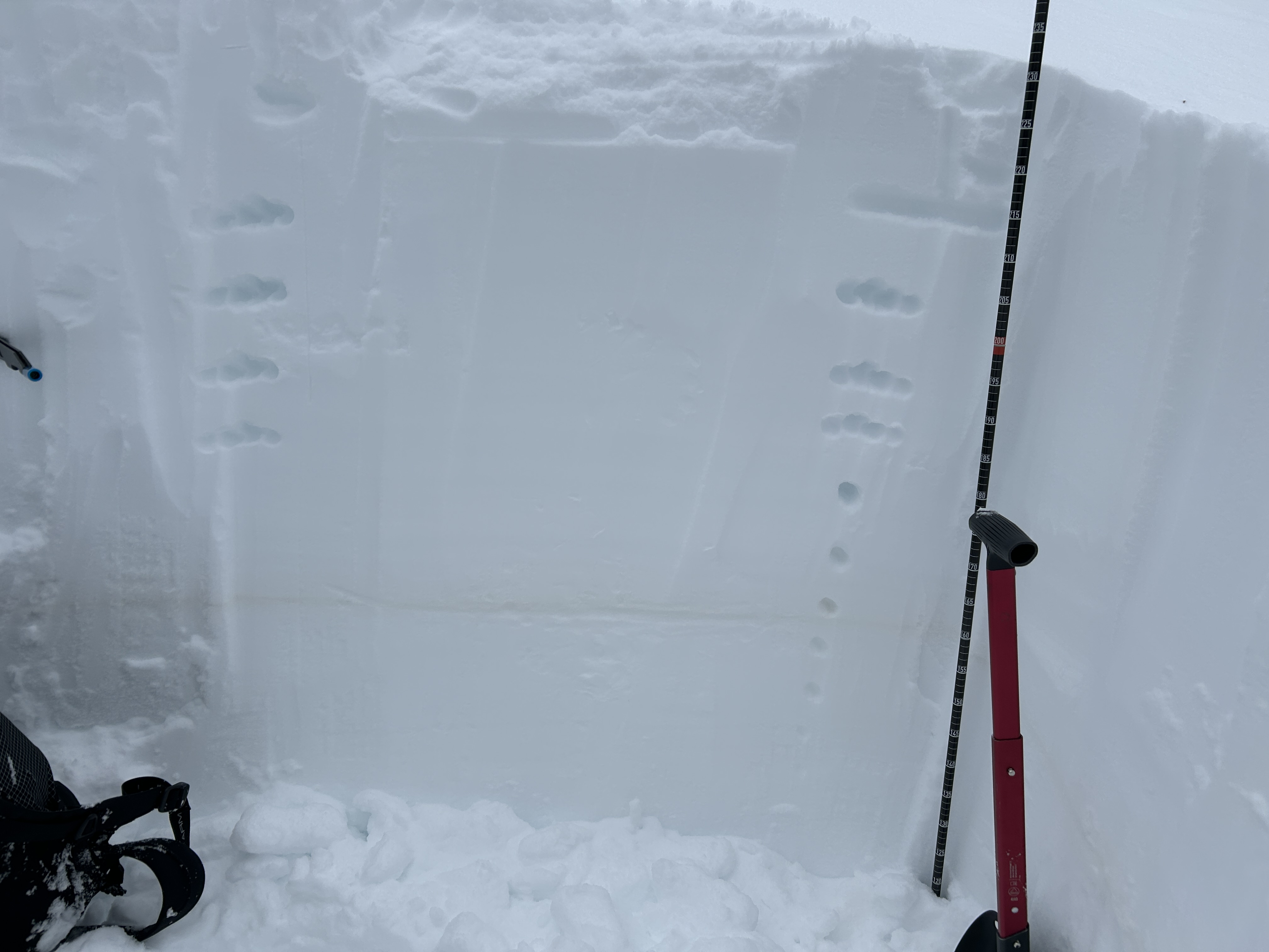
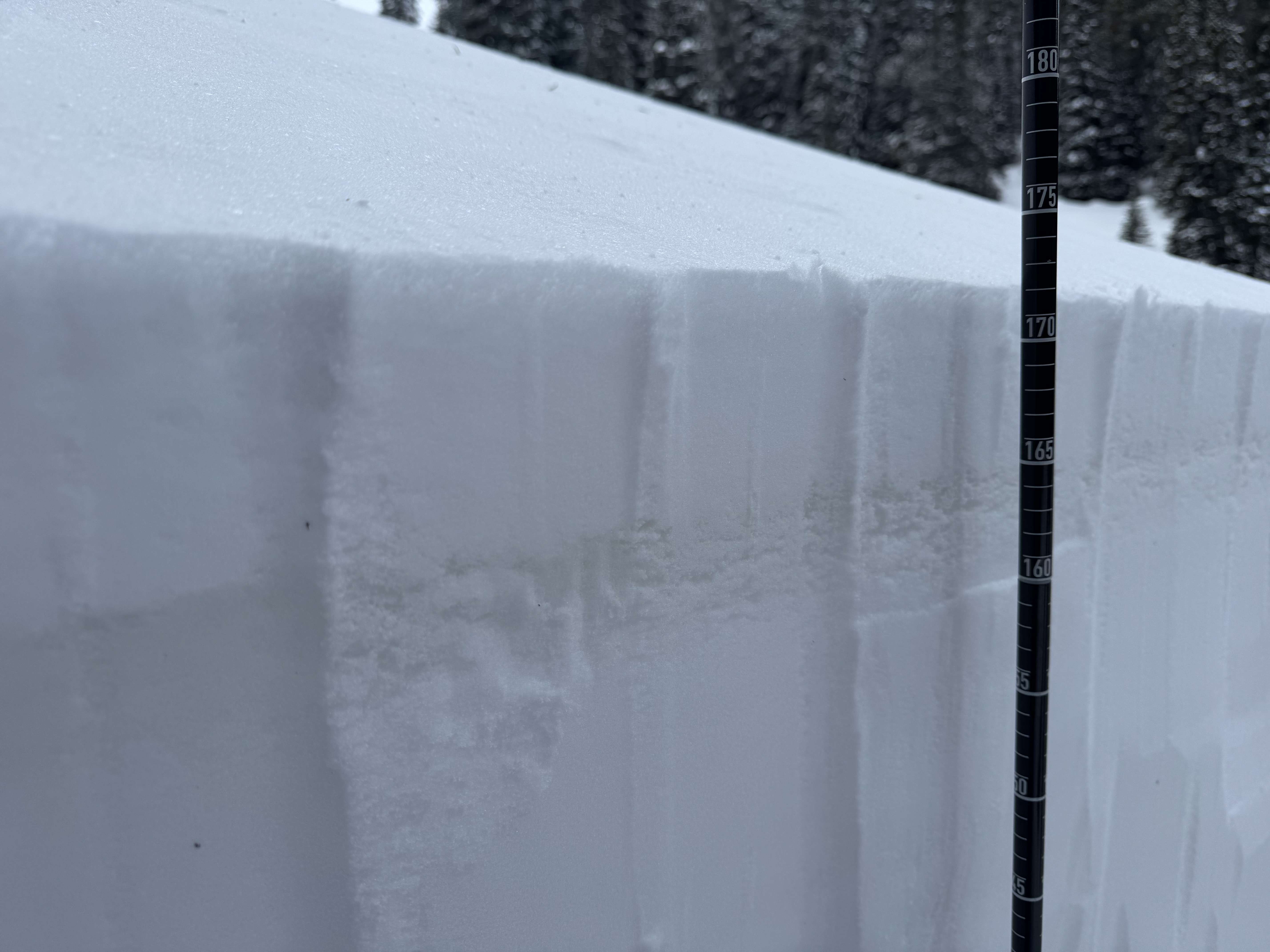
"Toured up Flanders Creek to the main cirque. I was wondering what the snow surface was doing with the high pressure. I dug a pit on a NNW aspect at 8900'. HS 205cm, light SW wind, clear skies and air temp was 2.1 C at 4pm. Dust layer was down 60cm from the surface.
I didn't get any propagating results in my pit and the snowpack was right side up. I did notice a strong temperature gradient in the top few centimeters of snow. I only found this on sheltered, shaded slopes with dry powdery snow. I did not find a strong temp gradient or facets in dense wind affected snow. Something to keep in mind if we get a big dump of snow in the near future." Photo: B. Oackes
-

Ridge line just west of divide peak in Hyalite canyon. Photo: O Silitch
-
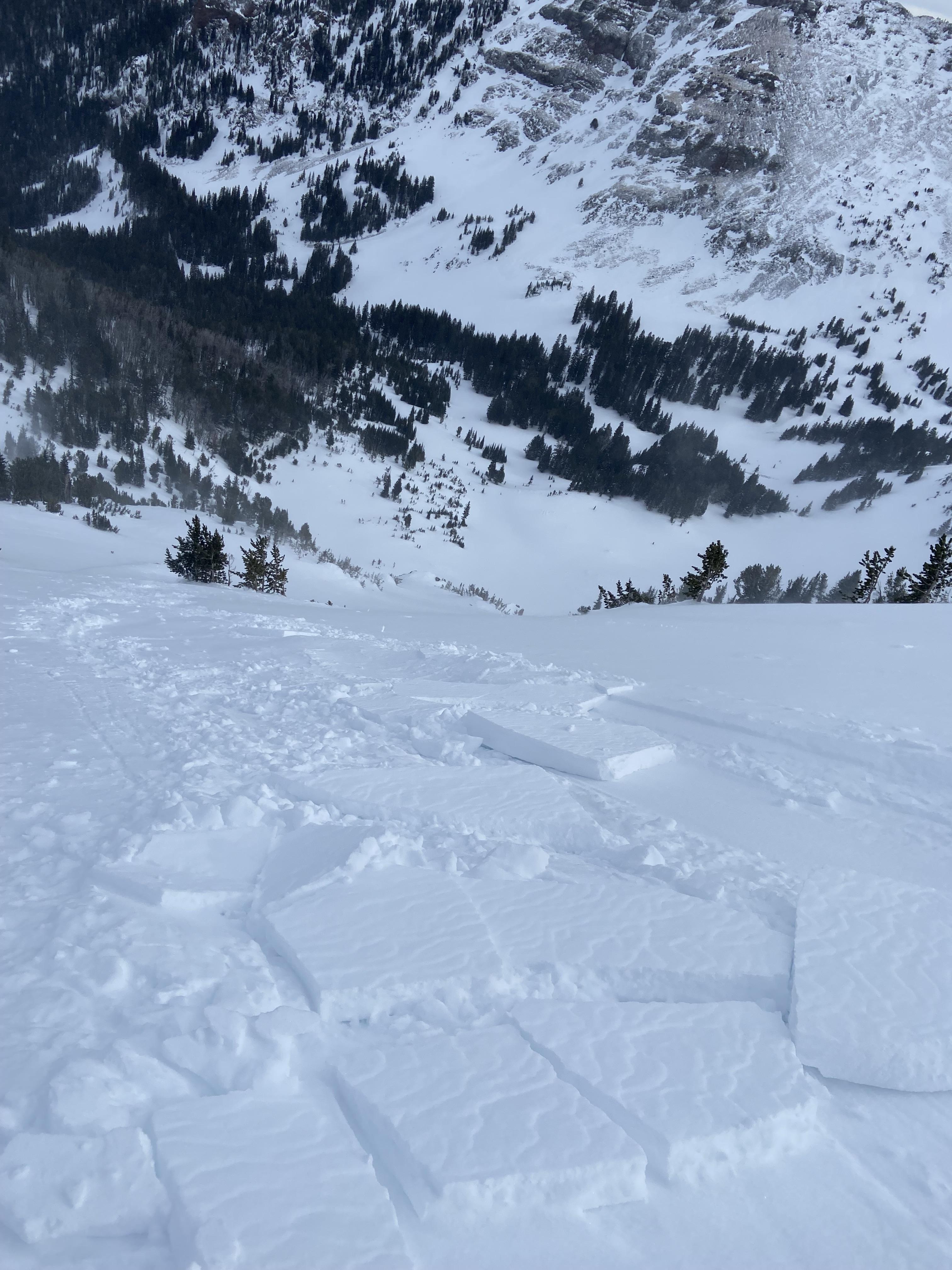
Saw a fairly fresh avalanche up Hyalite from the top of the Fat and Skinny Maids, I think that would put the avalanche in the Storm Castle Creek basin. Photo: F Miller
-
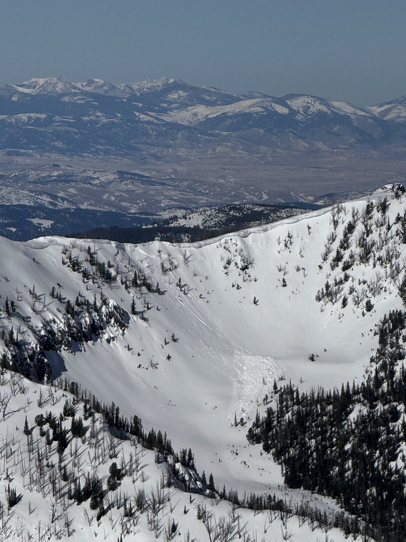
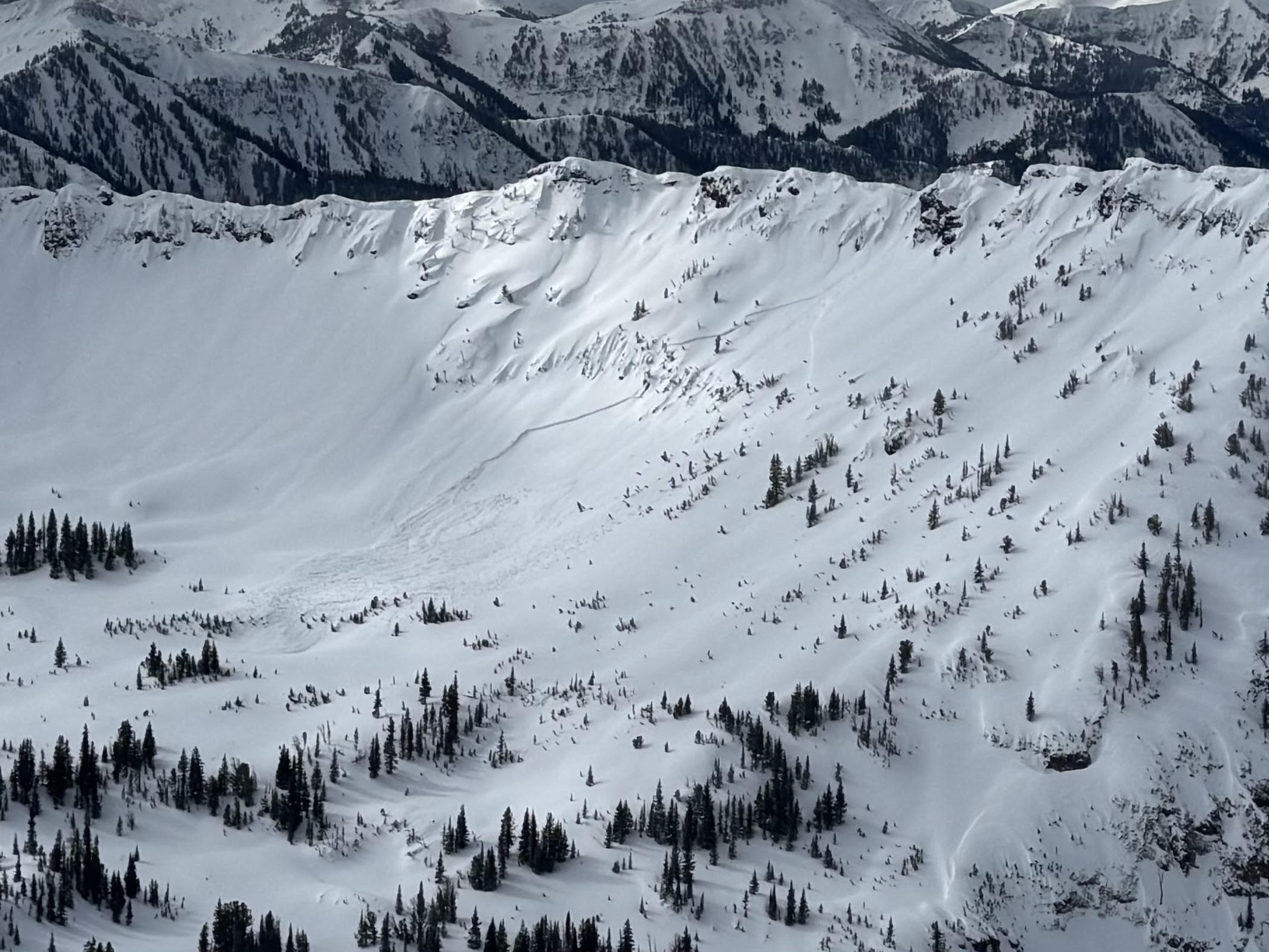
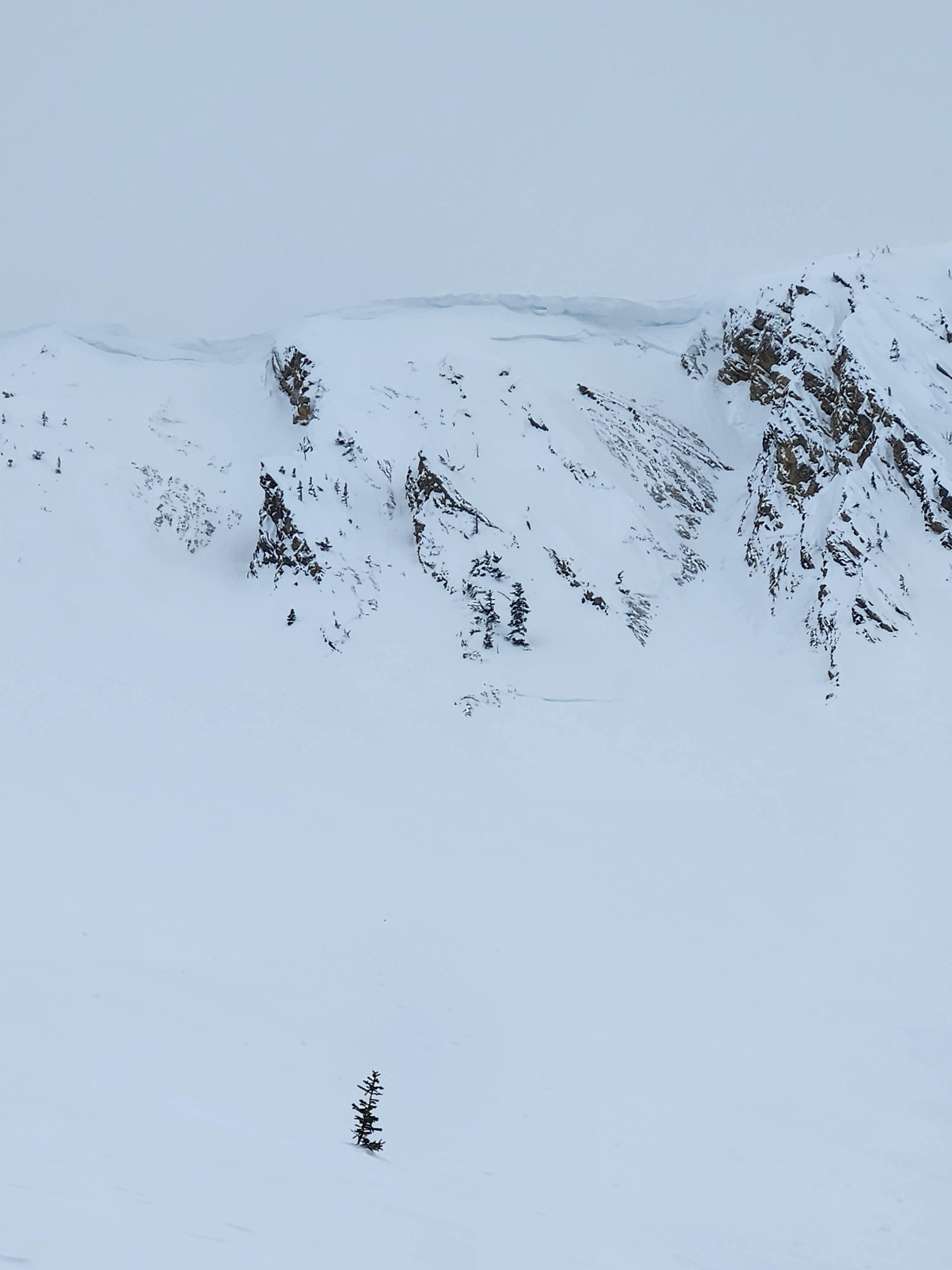
Pictures of two cornice triggered avalanches way up the South Cottonwood drainage that was viewed from Alex Lowe. Looks to be in the recent days, around 9,000 feet North facing. Photo: S Lipsteuer
-
A massive cornice had cracked and was slowly making its way towards falling down. Cornice was around 50 feet long, and largely overhanging. Photo: S Lipsteuer
-
A massive cornice that has cracked and is slowly making its way towards falling down. Cornice was around 50 feet long, and largely overhanging. On the standard ascent of the East Ridge of Alex Lowe, the skin track usually travels below this cornice while ascending to the ridge. Photo S Lipsteuer
-
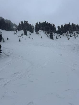
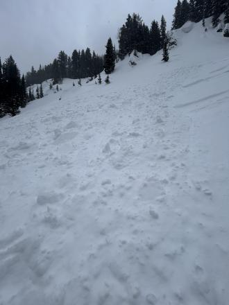
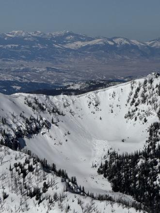
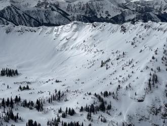
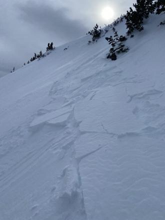
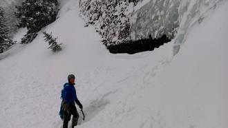
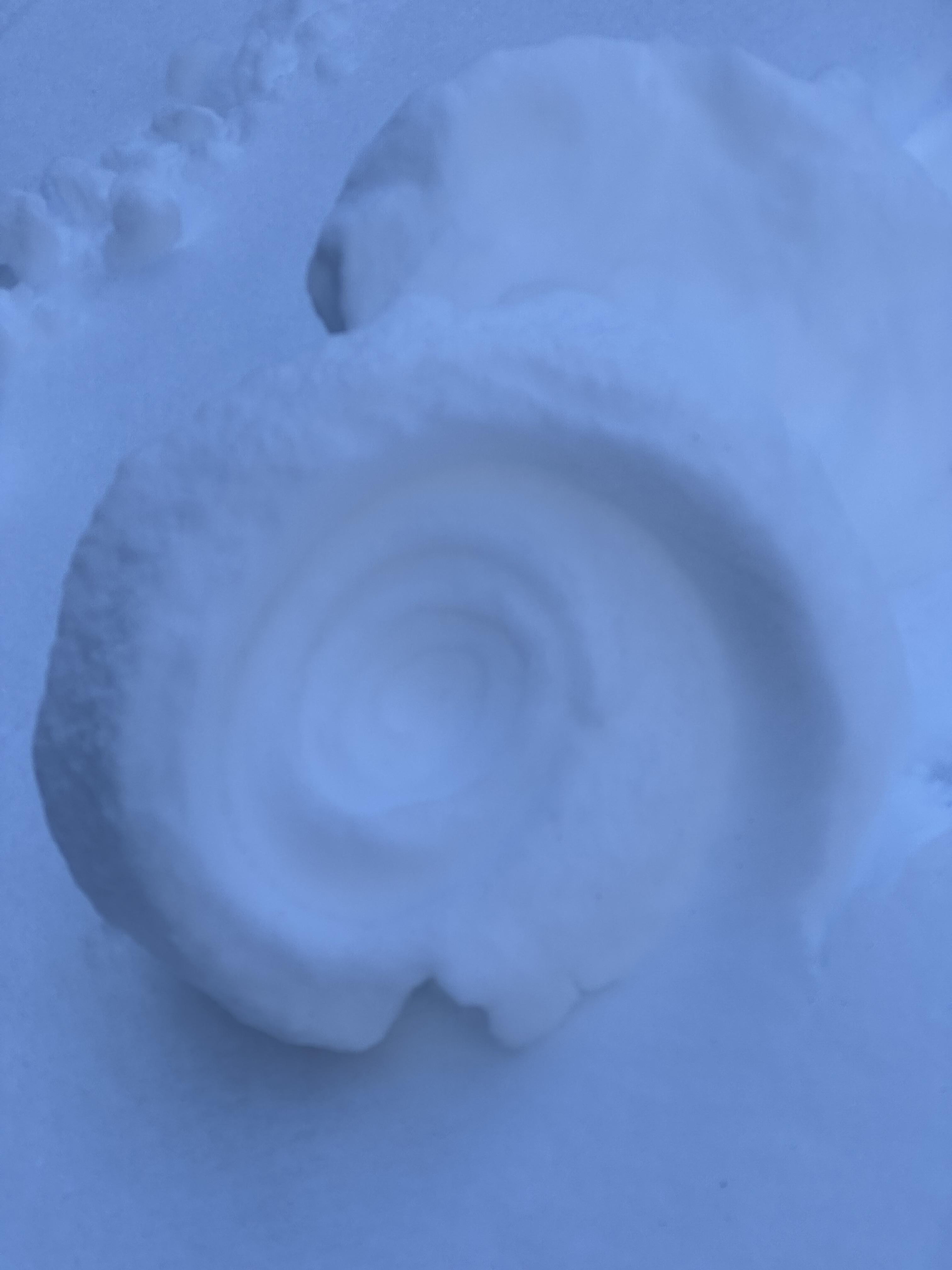
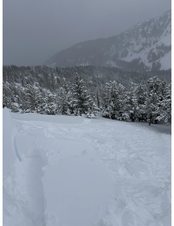
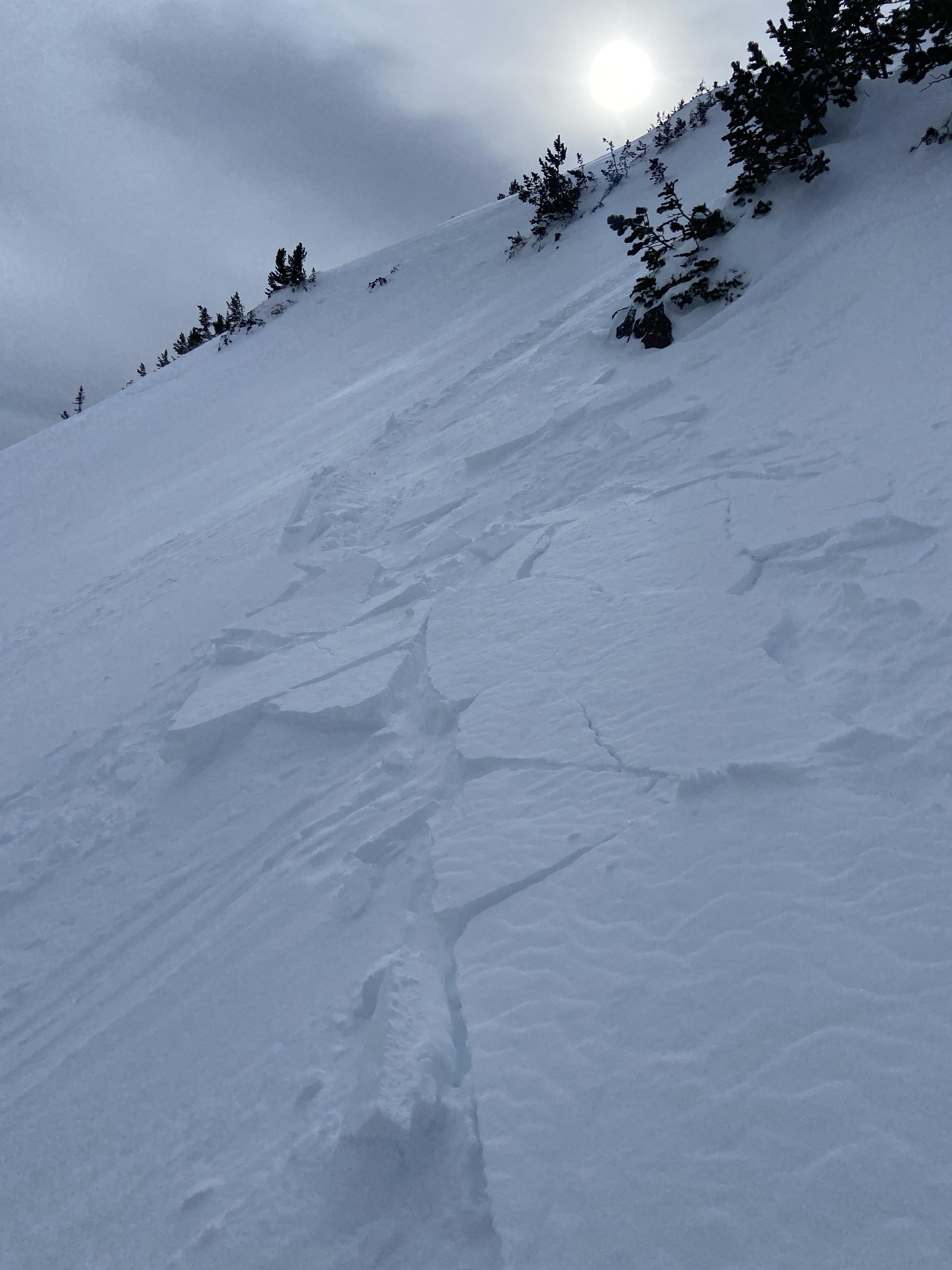
This older wet slide is a good example of what to look out for especially at low elevations.
-
This older wet slide is a good example of what to look out for especially at low elevations.
-
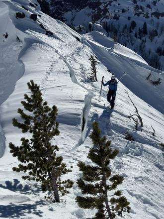
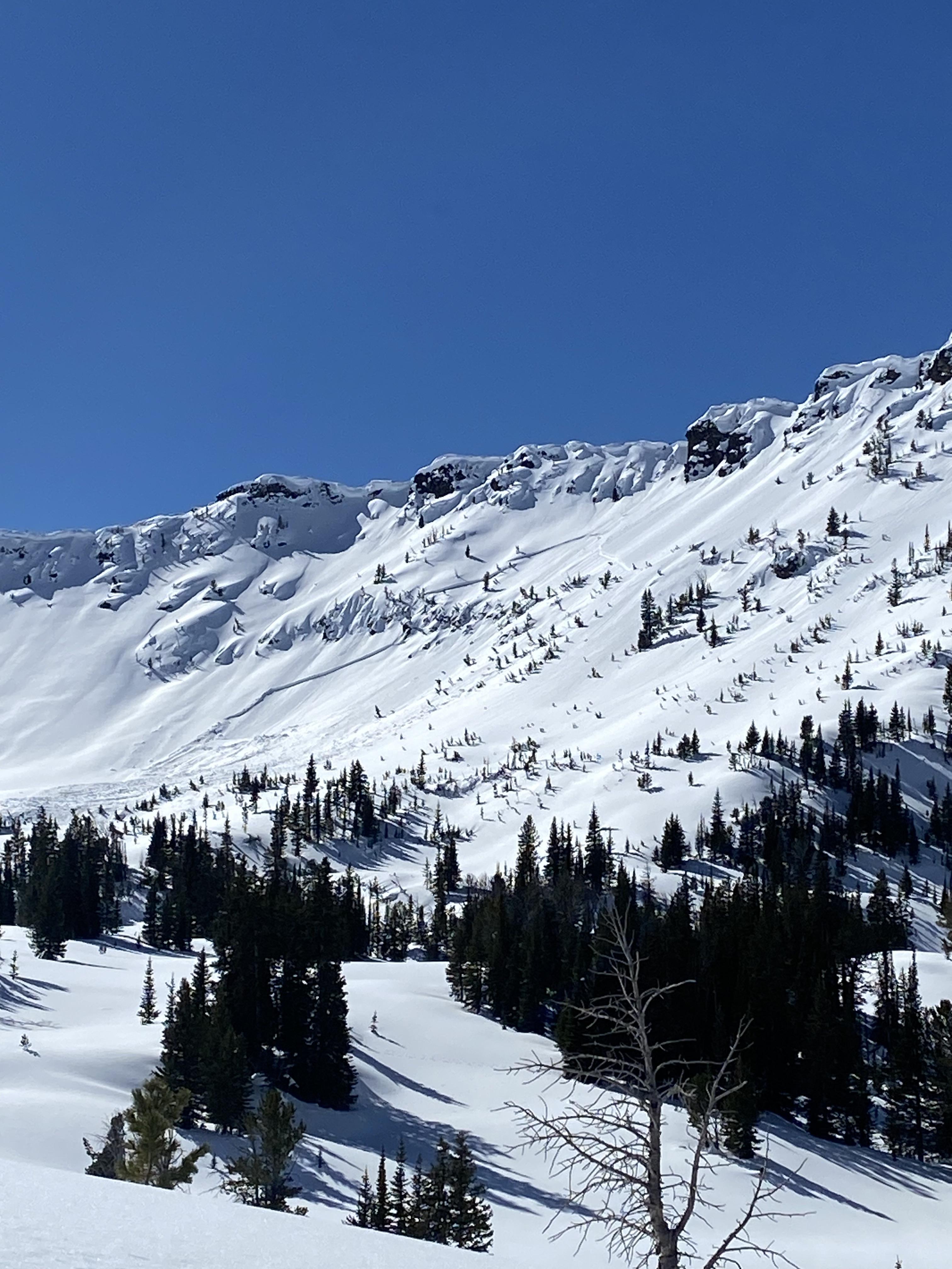
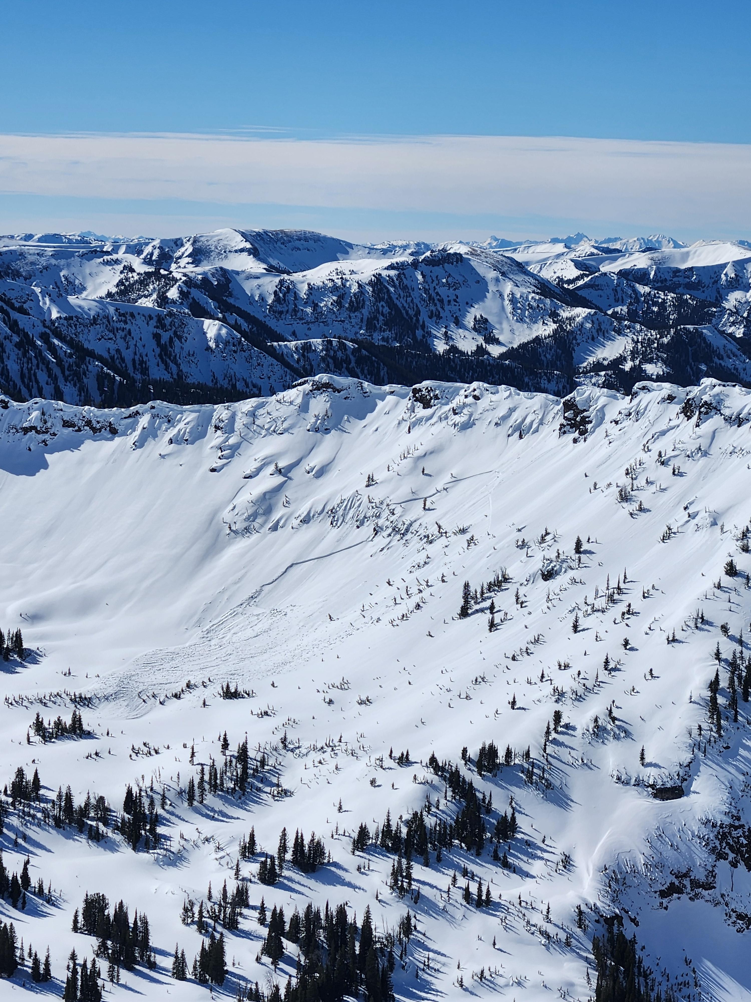
Cornice release above the headwaters of storm castle creek which triggered a slab, east facing aspect. Looked to be several feet deep and ran a long way.
-
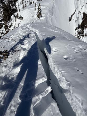
Cornice triggered slab avalanche, maybe wind slab. Hard to say.
-
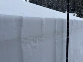
Total snow depth on a NE aspect was 230 cm (7.5 ft). Right side up and strong. Dust layer from Feb 4th was 70 cm deep (28 inches) with no facets under it.
-
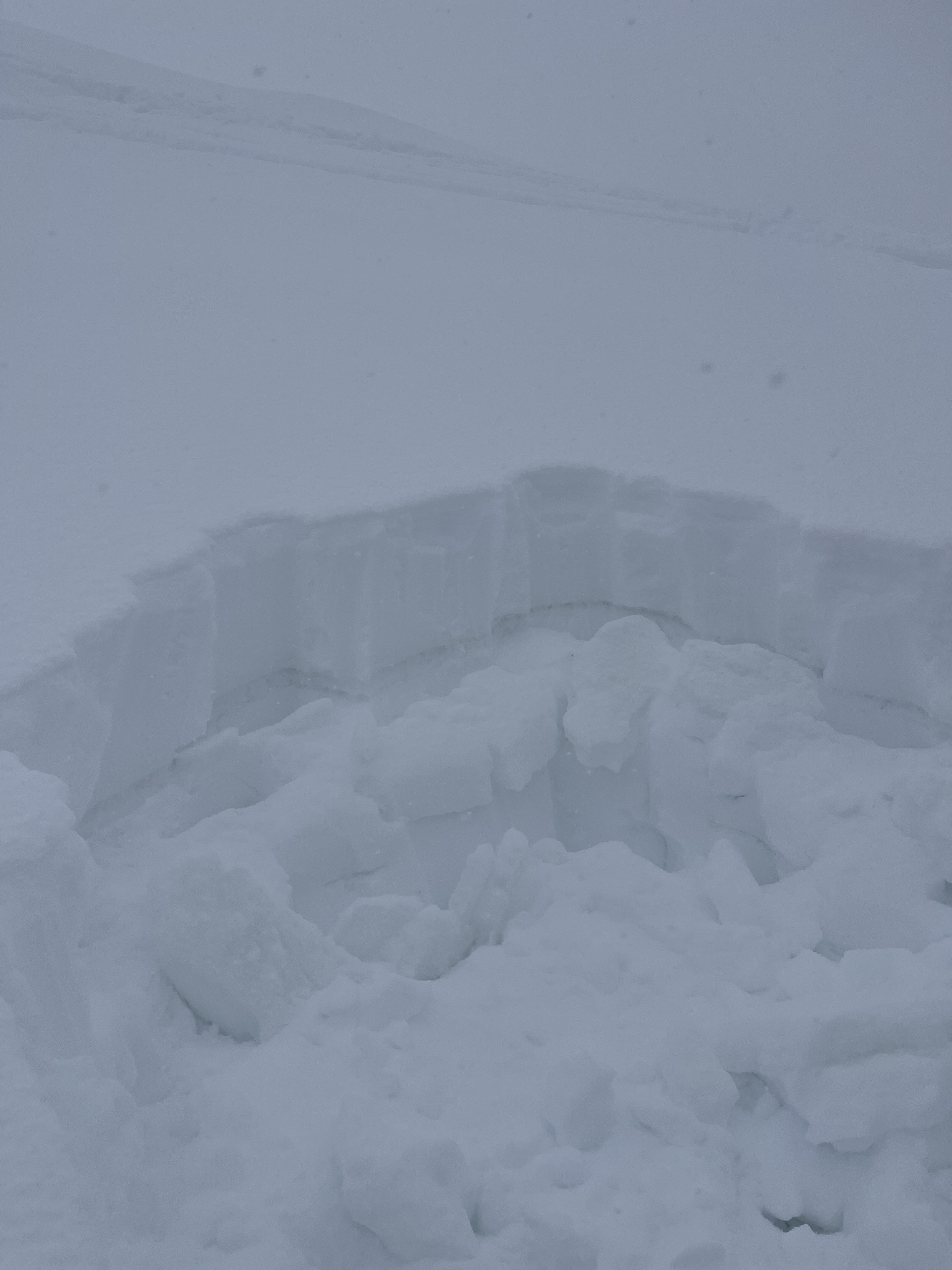
Clean up on aisle hyalite! Couple small wet slides between the retaining wall and practice rock, big enough to reduce the road to one lane. Photo: K. Marvinney
-
From obs.: "Saw a recent cornice triggered wind slab off of Hardscrabble Peak, crown looked fairly fresh. There was a second crown line below the rock band. Conditions were very windy, with snow still being transported. Most snow surfaces were wind affected, but saw no cracking or collapsing." Photo: F. Miller
-
From obs: "2/17 Immediately noticed signs of wind loading and wind slabs on NE-E aspects once in the basin. New cornices have formed in the last couple days along the North ridge to the summit. Cornice collapse on the summit triggered a small wind slab on an isolated slope." Photo: R. Rintala
-
From obs: "2/17 Immediately noticed signs of wind loading and wind slabs on NE-E aspects once in the basin. New cornices have formed in the last couple days along the North ridge to the summit. Cornice collapse on the summit triggered a small wind slab on an isolated slope." Photo: R. Rintala
-
SS-ASc-R1-D.5-I
310 Degrees NW
8129ft
Photo: Tagg Cole
-
Storm slab avalanche between Blackmore and Elephant. Photo: Anonymous
-
-
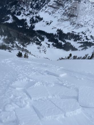
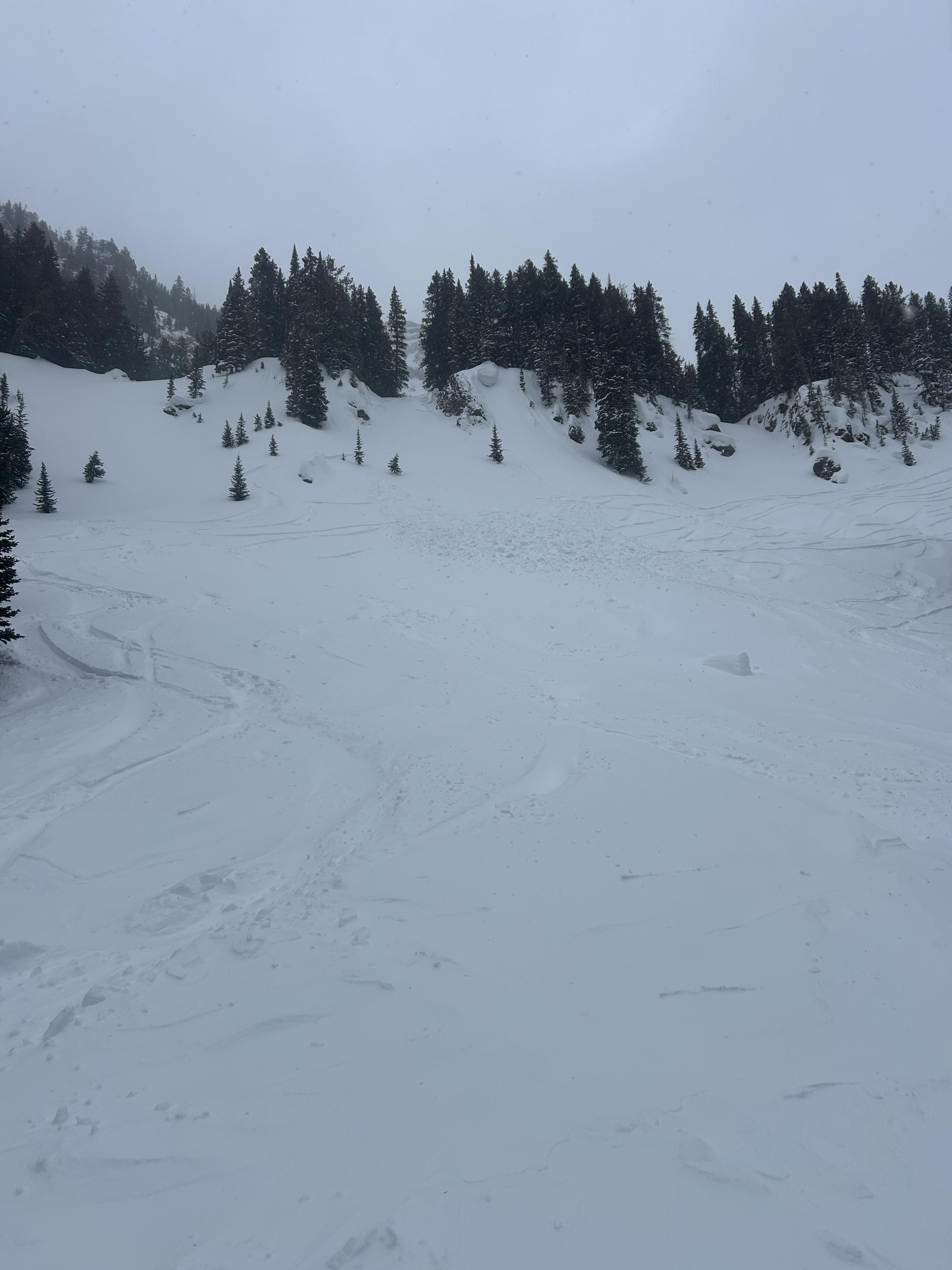
Saw a small natural slide that started at the bottom of Cyptorchid. Crown was 10' wide and 8-18" deep, it ran 150' down a very shallow slope and covered the climbers trail. Photo: R Beck
-
Saw a small natural slide that started at the bottom of Cyptorchid. Crown was 10' wide and 8-18" deep, it ran 150' down a very shallow slope and covered the climbers trail. Photo: R Beck
-
Triggered a small wind slab avalanche on the east face of mt Blackmore today at 9850 ft elevation. Around 5 inches thick, ~ 20 ft wide, and ran for 100 ft. Photo: I Masi
-
Triggered a small wind slab avalanche on the east face of mt Blackmore today at 9850 ft elevation. Around 5 inches thick, ~ 20 ft wide, and ran for 100 ft. Photo: I Masi
-
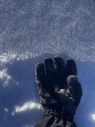
Cold temps and sunny days starting to create some surface hoar forming seen on the primary ridge of big Ellis. Surface hoar was less widely distributed on the primary ski zone but was present all along the top of the ridge. Photo: K Gordon
-
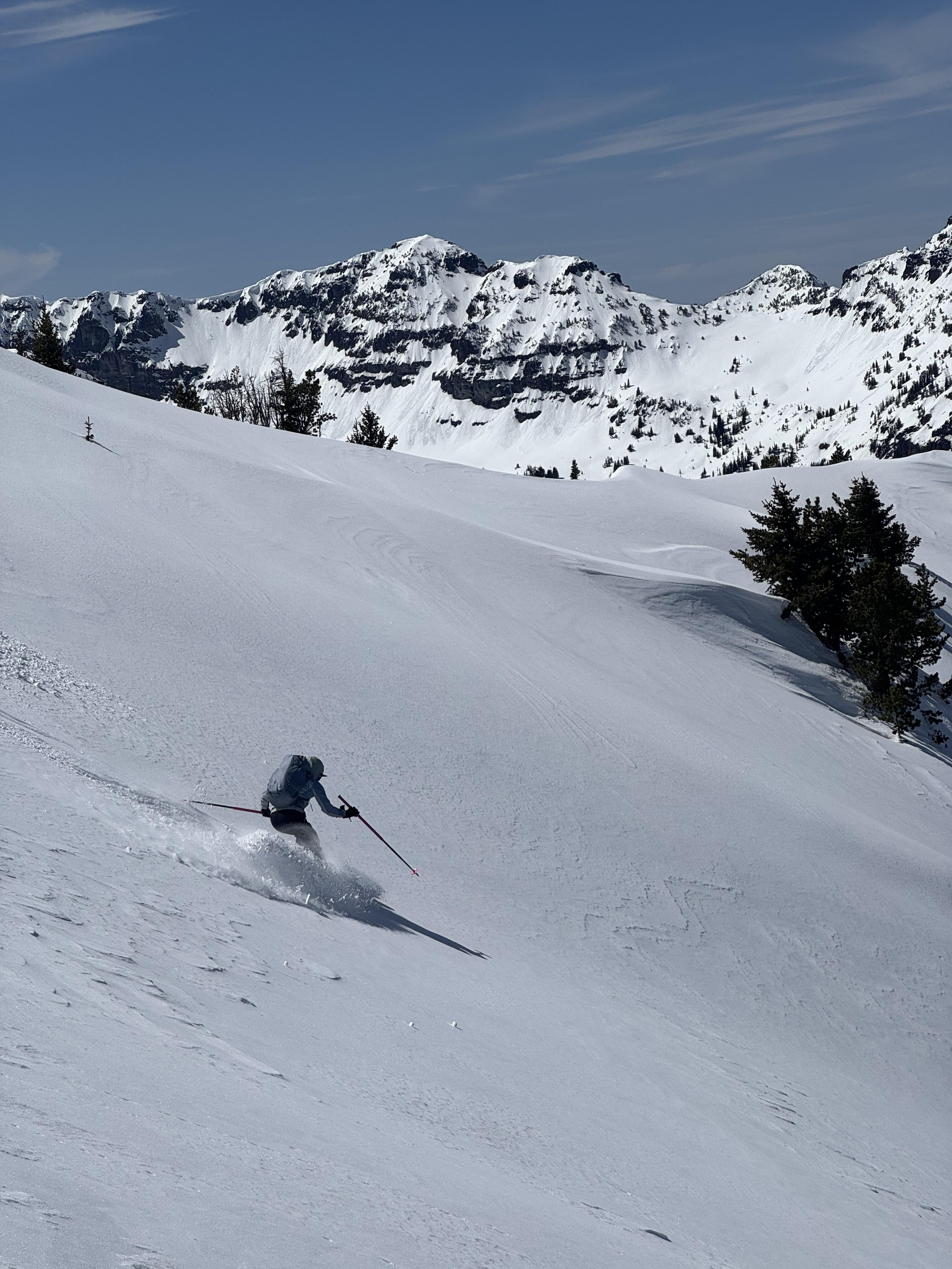
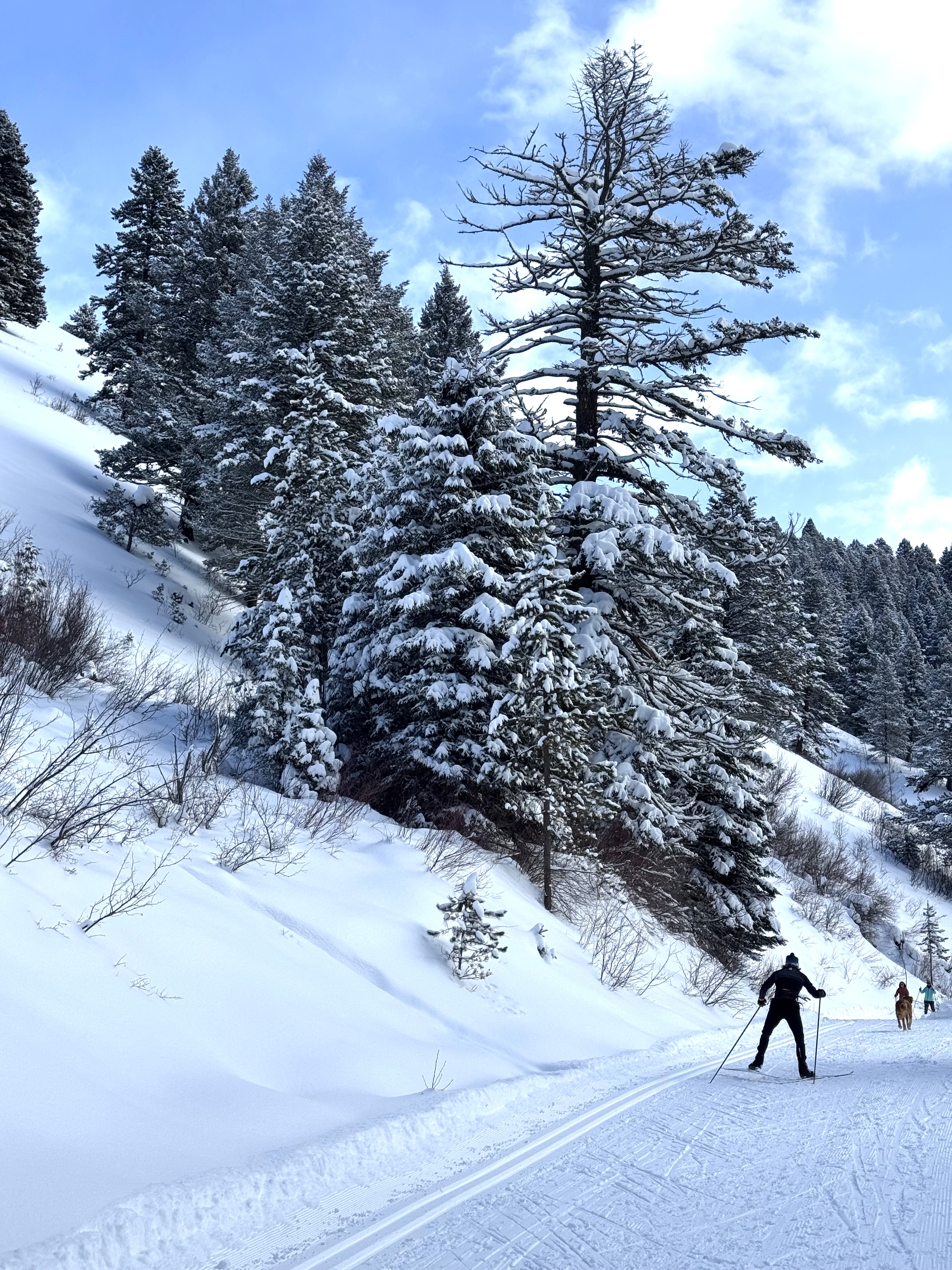
I went skate skiing up Sourdough Canyon today. The trail intersects many south and southwest-facing avalanche terrains that generally do not have much snow coverage due to their exposure to the sun.
However, the snowpack is much deeper than normal in the Gallatin Valley and in the low-elevation mountains around the Valley, and these slopes make me nervous, especially because they would impact a trail that sees heavy use by people who do not intend to expose themselves to avalanches and who are not prepared for avalanche rescue.
Currently, 2.5 to 4 feet of snow is in the terrain near the trail.
Photo: GNFAC
-
I went skate skiing up Sourdough Canyon today. The trail intersects many south and southwest-facing avalanche terrains that generally do not have much snow coverage due to their exposure to the sun.
However, the snowpack is much deeper than normal in the Gallatin Valley and in the low-elevation mountains around the Valley, and these slopes make me nervous, especially because they would impact a trail that sees heavy use by people who do not intend to expose themselves to avalanches and who are not prepared for avalanche rescue.
Photo: GNFAC
-
At the base of G2 I triggered a 3 inch x 100 foot soft slab. Photo: D Chabot
-
Most notable test result was ECTP16 down 35 cm on a layer of surface hoar. Photo: E Heiman
-
Most notable test result was ECTP16 down 35 cm on a layer of surface hoar. Photo: E Heiman
-
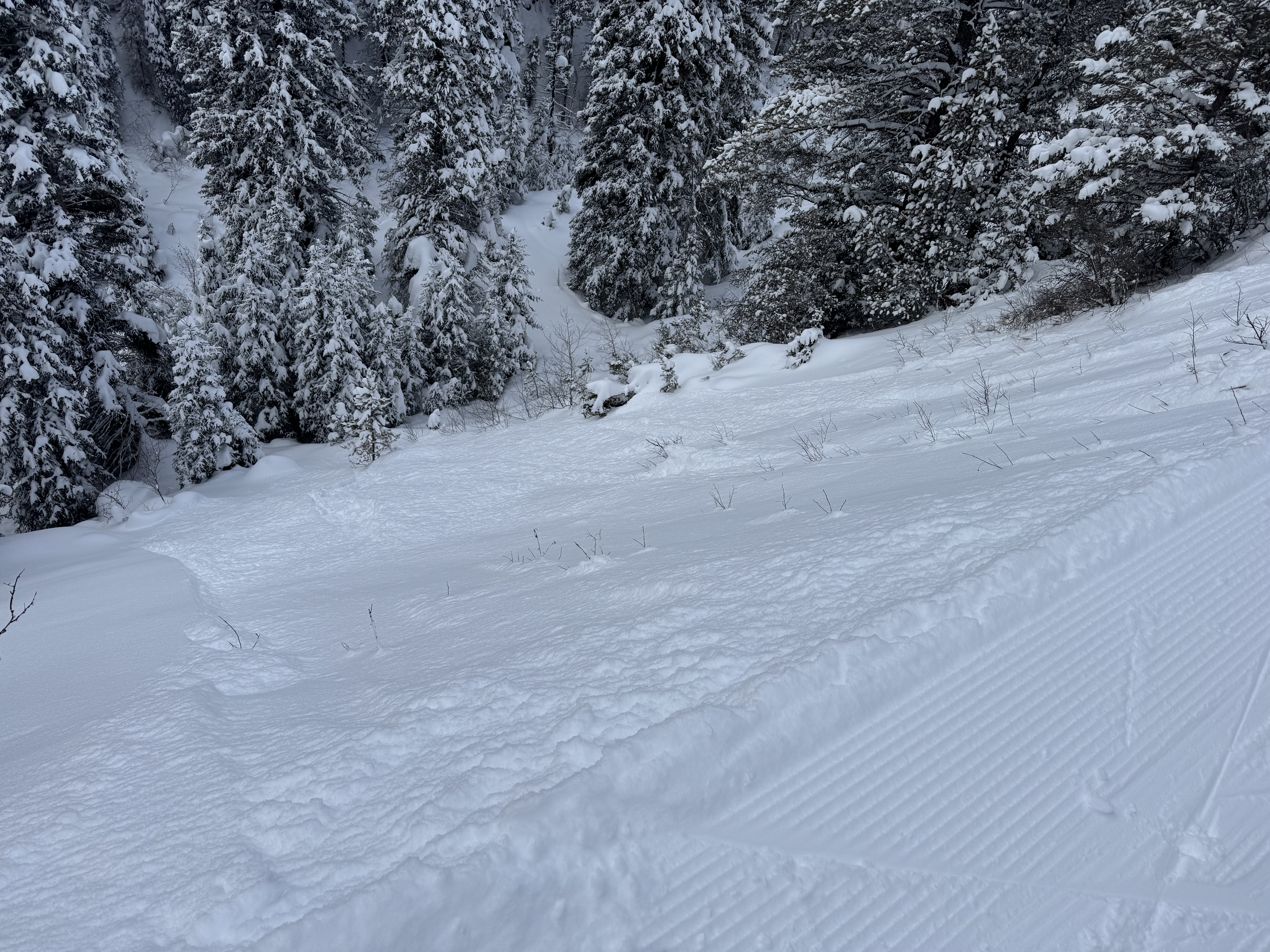
Three to four inches of new snow from yesterday sat on top of the dust layer that got deposited across most of the forecast area on Monday and Tuesday. Photo: GNFAC


Videos- Northern Gallatin
WebCams
Bozeman Pass, Looking SE
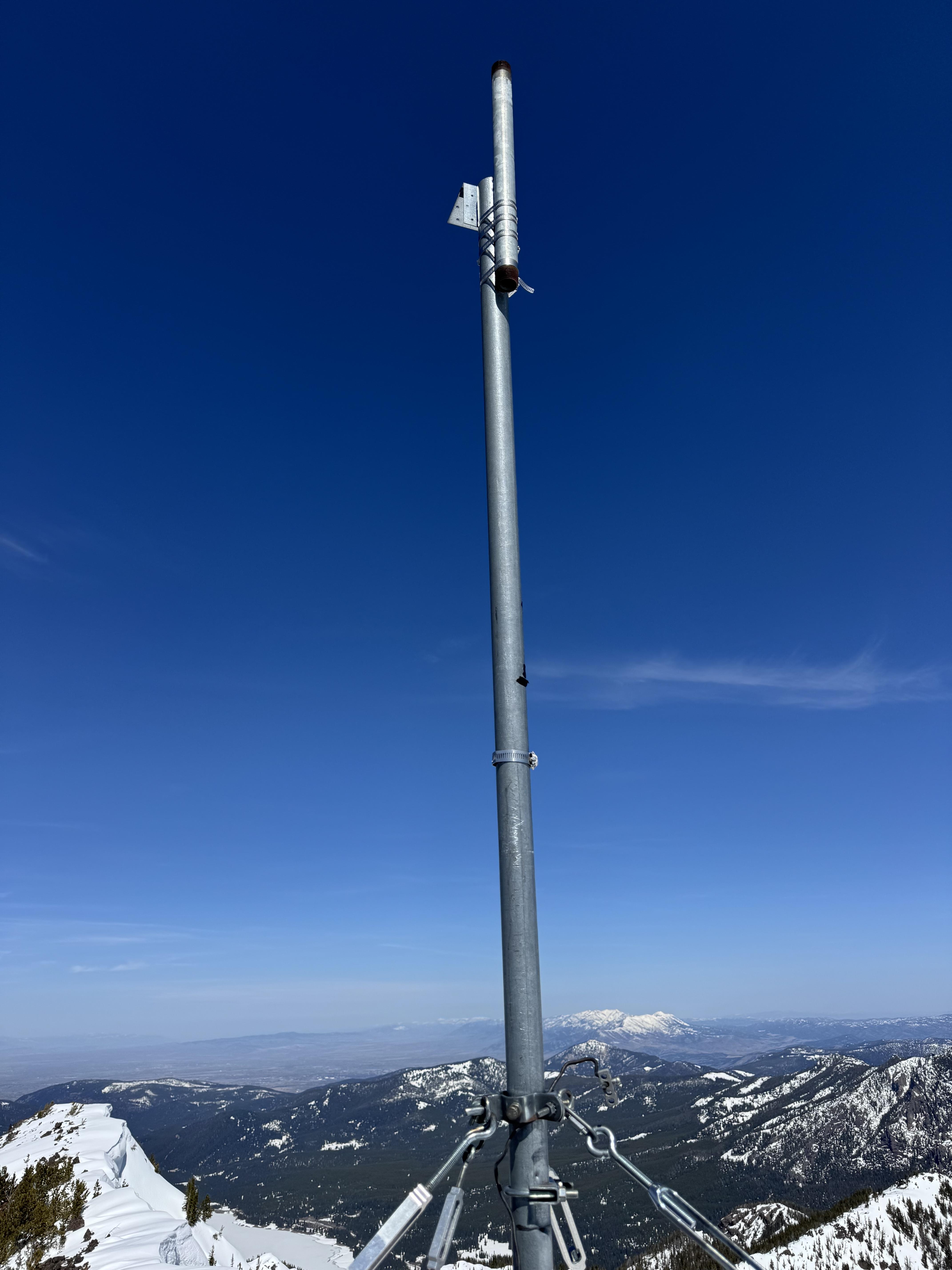
Weather Stations- Northern Gallatin
Weather Forecast Northern Gallatin
Extended Forecast for14 Miles SE Gallatin Gateway MT
Tonight
Low: 55 °F
Slight Chance
T-storms then
Partly CloudyWednesday
High: 75 °F
Partly Sunny
then Chance
T-stormsWednesday Night
Low: 54 °F
Chance
T-storms then
Mostly CloudyThursday
High: 69 °F
Partly Sunny
then Showers
LikelyThursday Night
Low: 49 °F
T-storms
Likely then
Slight Chance
ShowersIndependence Day
High: 62 °F
Chance
Showers then
ShowersFriday Night
Low: 43 °F
Showers
Likely then
Chance
ShowersSaturday

High: 59 °F
Showers
LikelySaturday Night
Low: 44 °F
Chance
T-storms then
Slight Chance
Showers
The Last Word
We ended our 35th winter in operation after 141 forecasts and ZERO avalanche fatalities, the second winter in a row with no avalanche deaths. The last time this happened was 1988 and 1989. It’s been an incredible season.
Thank you for all your support! Our success is directly related to support from our community and the Forest Service. Thanks to the readers of the forecast, everyone that sent in observations, took an avalanche class, or donated money, time or gear. Have a safe spring and summer!