Snow Observations List
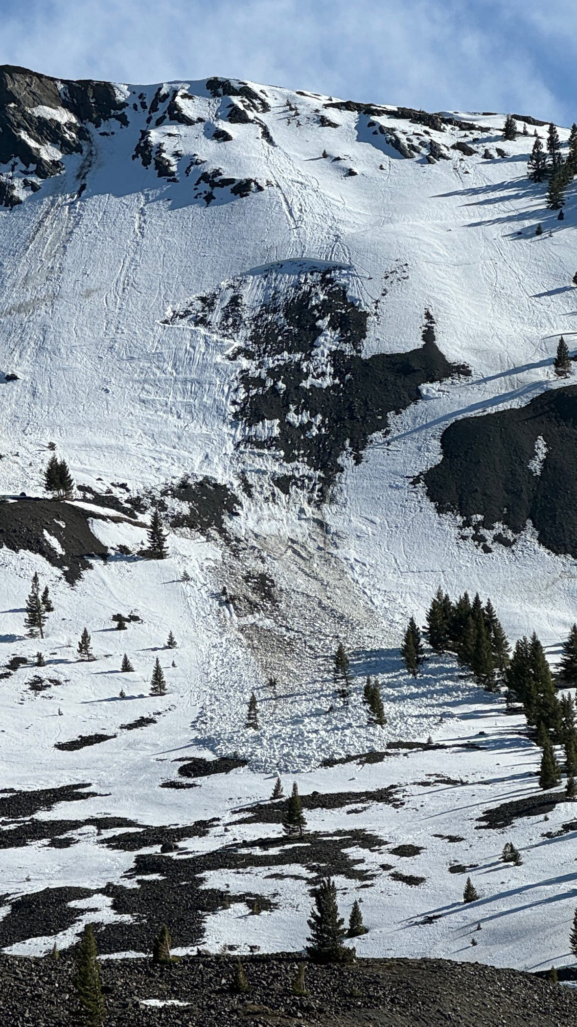
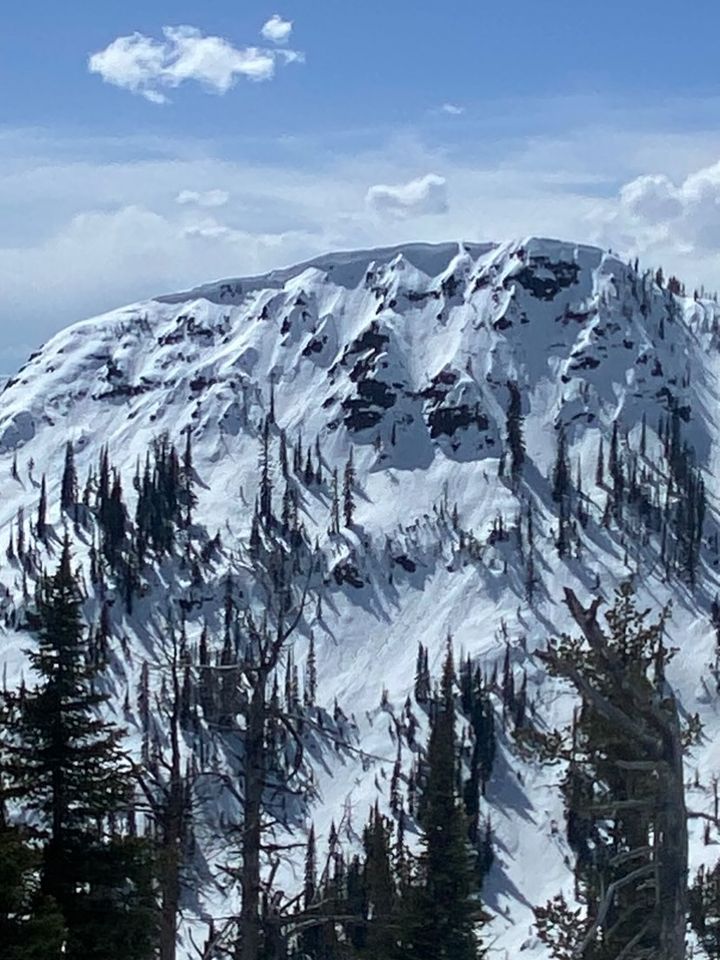
From IG message: "I was at the bottom of the Gardner Headwall when that avalanche happened. Feel free to share..."
Full Snow Observation ReportFrom IG message 4/17/24: "Remote trigger up little bear today. Went to the groundish."
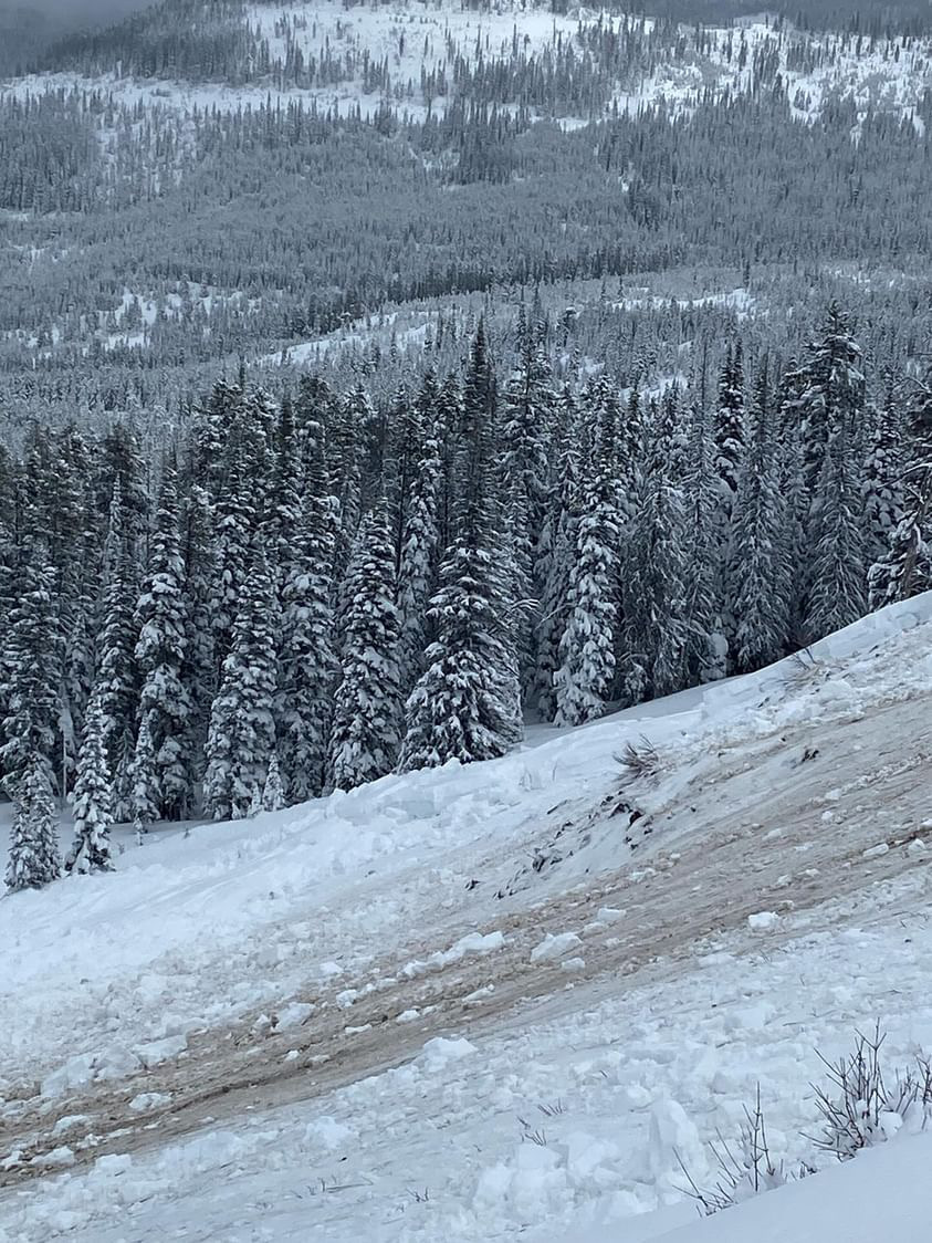
Full Snow Observation ReportFrom IG: Wet slide to the ground above Quake Lake.
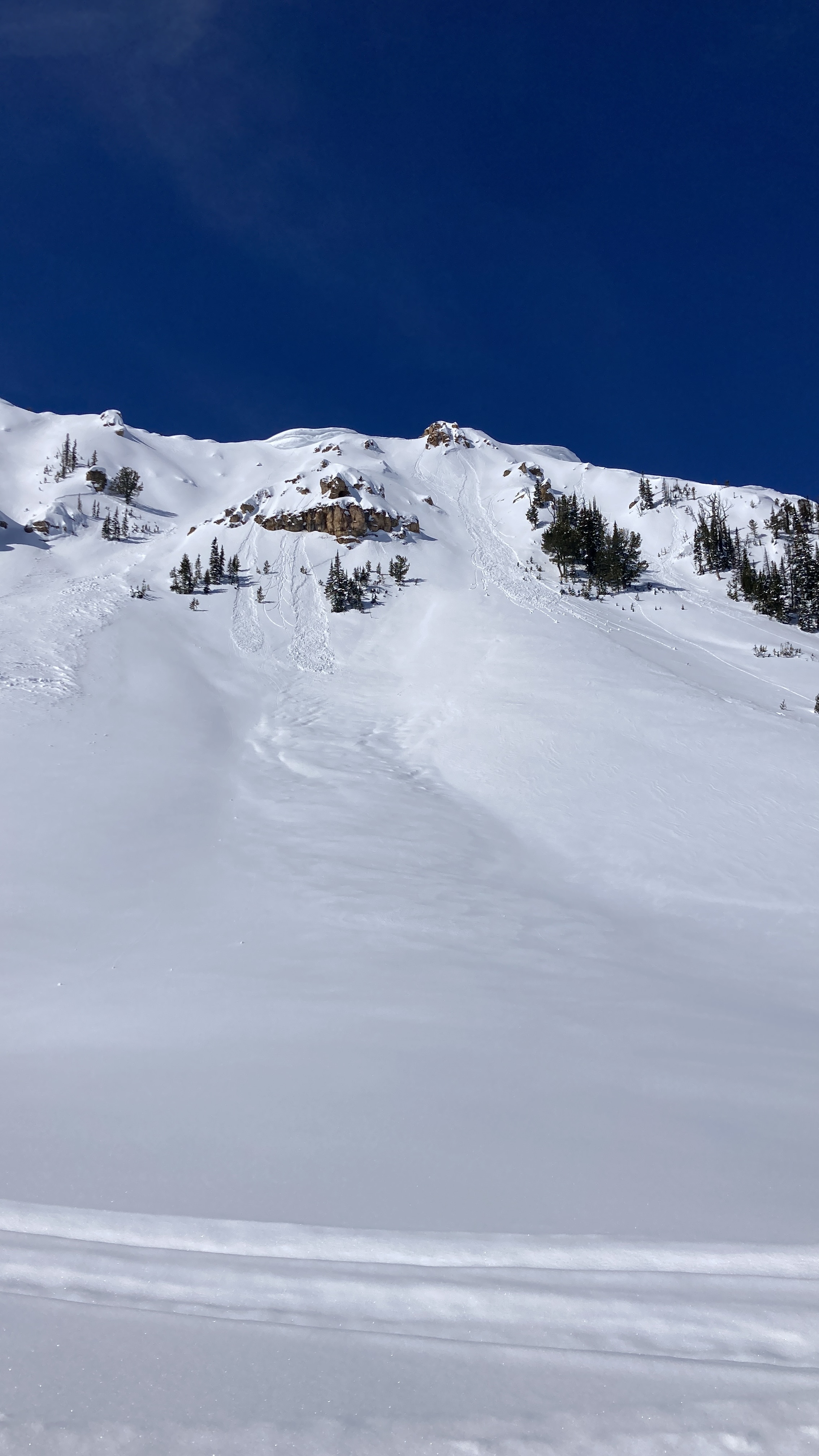
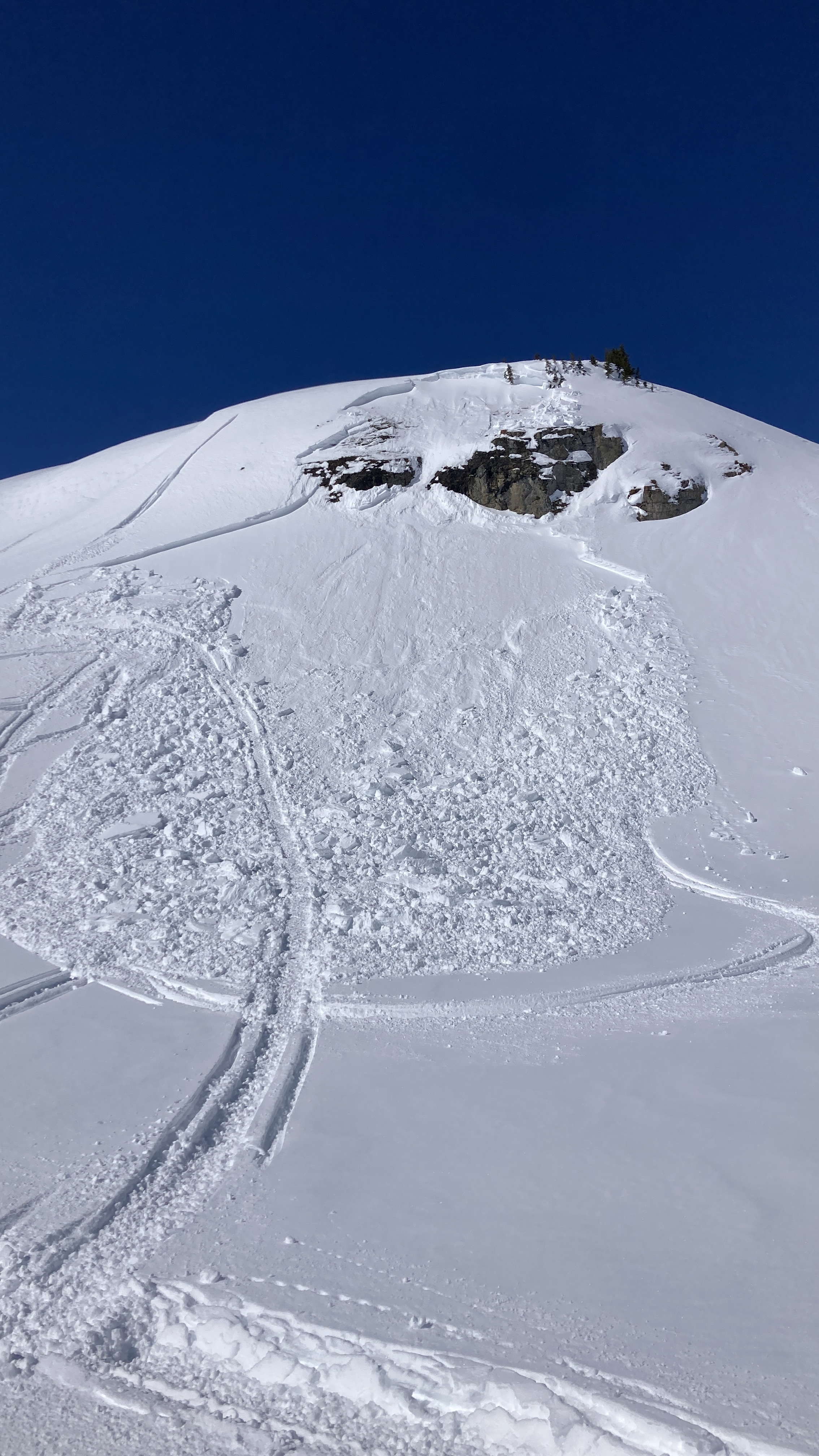
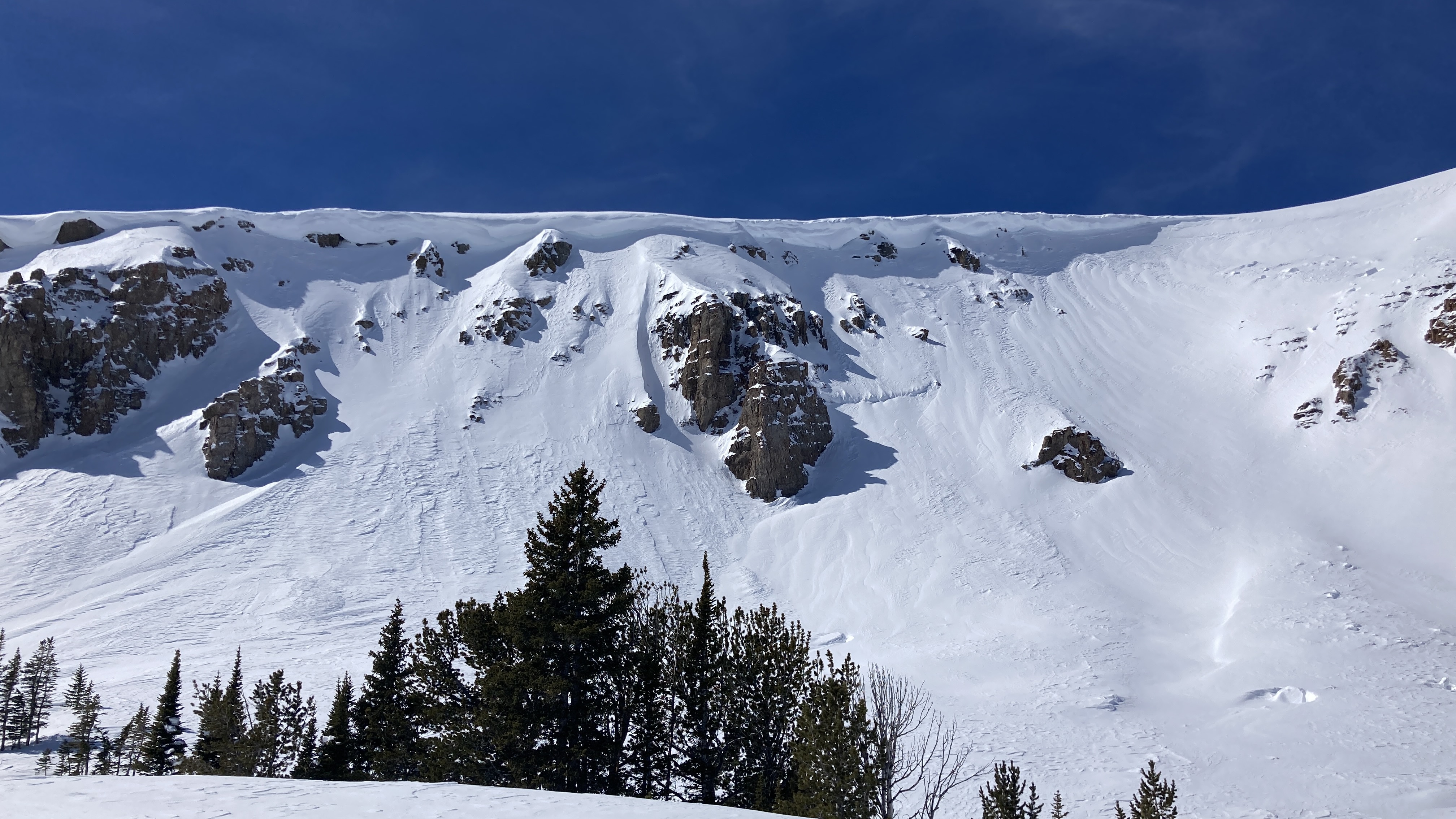
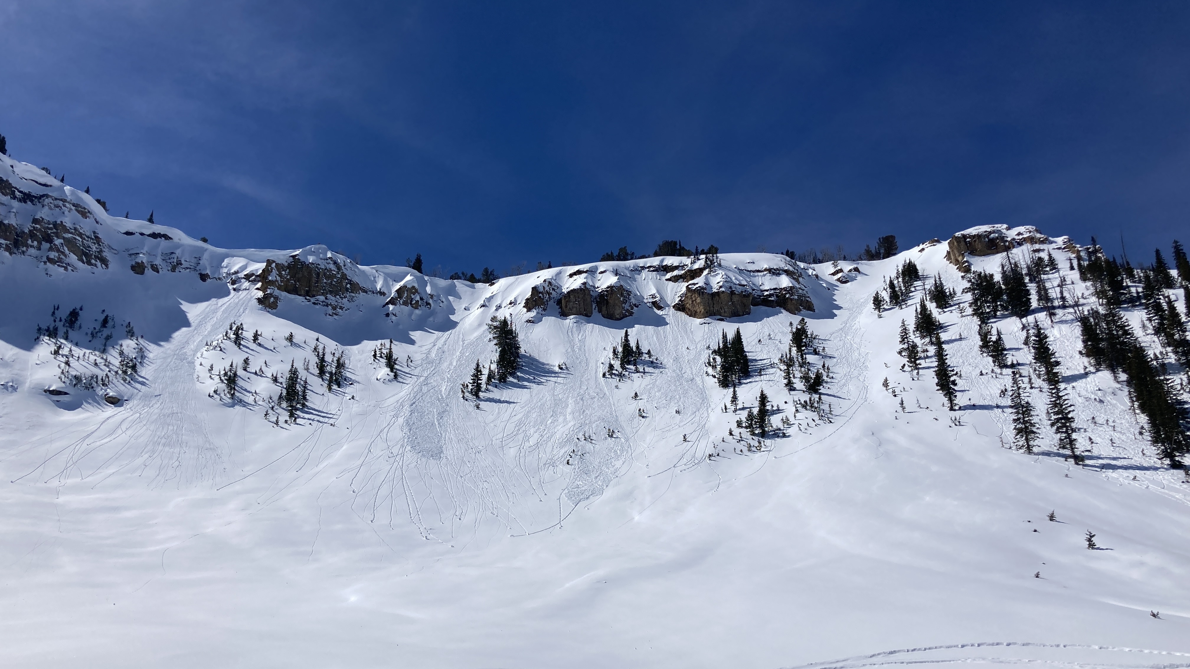
Full Snow Observation ReportRode up cottonwood creek on the west side of the crazies. Saw several recent wet loose slides on southern aspects as well as some isolated slides on north/west aspects. Only saw one larger slide that had a wide crown(500ft) D2 on an east aspect. All slides were breaking in the upper 40cm in new/old snow.
Dug a pit north east aspect HS270cm ECTN24 @40cm down from surface. Melt freeze down 70cm might start reacting when water penetrates through upper snow pack, dry snow in upper 60cm but becoming more moist on solars.
Full Snow Observation ReportFrom IG mesasge (4/6): "Some wet action at arange peak near Sawtell yesterday. From slope Dave and I did our first pit on Monday. Lots of release in that new old interface but didn’t see anything releasing down deeper."
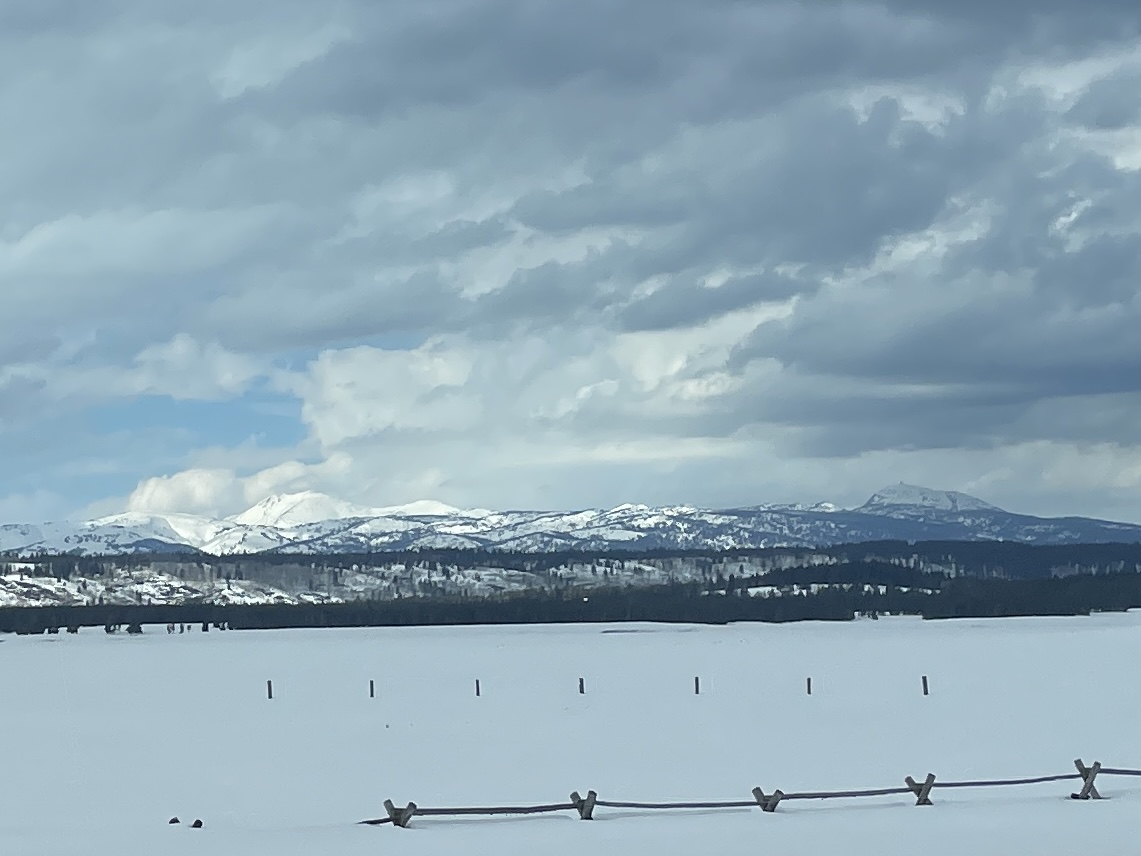
Full Snow Observation ReportFrom email:" photo of mostly cloudy skies.
53 deg F while driving through IP at around 4pm"
Full Snow Observation ReportWe toured down the west side of the Bridger Range on the edge of Truman Gulch and found predictably weak snow on an upper-elevation NW-facing slope. Conditions were variable and transitioned to a thick crust as we moved on to a lower elevation, west-facing slope. By the time we came down the Ramp, the snow was getting wet, we saw roller balls, and we avoided steep, sun-exposed terrain.
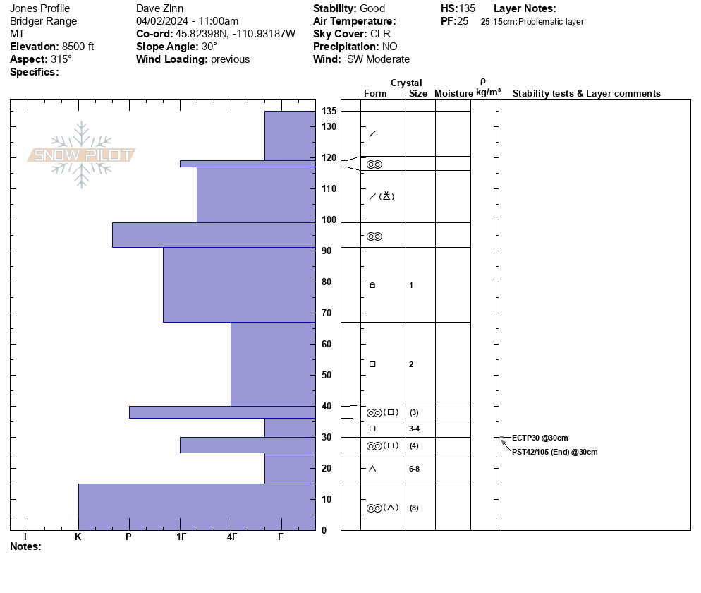
We dug below NW Passage. It was a 135 cm deep snowpack, dry throughout, with Fist plus hard facets and depth hoar making up the foundation (ECTP30, PST 42/100 end at 30 cm from the ground.
Full Snow Observation ReportMODERATE rising to CONSIDERABLE seemed correct.
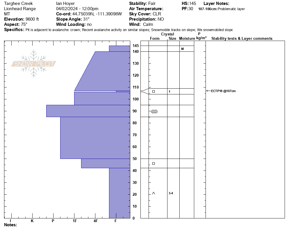
We rode from the Buttermilk trailhead up Denny Creek to Lionhead Ridge, along Lionhead Ridge through Watkins Creek and to the motorized boundary at the head of Targhee Creek.
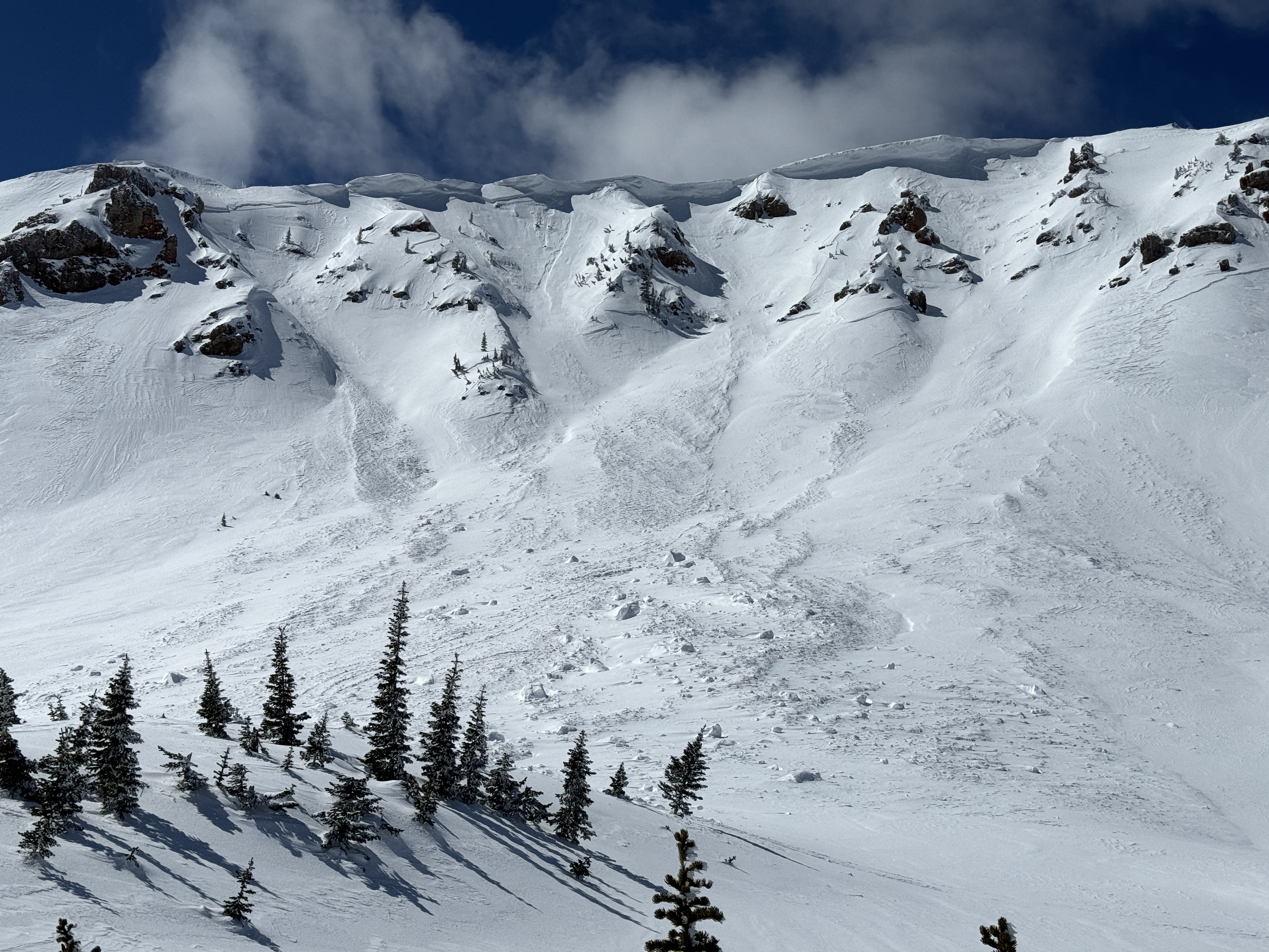
There was a ~1" crust at the surface when we left the trailhead, with dry snow beneath. We saw our first wet loose avalanche of the day running around 11 am. By 12:30 there were dozens and many rollerballs. None of them ran particularly far or picked up too much volume. The snow surface was moist on sunny slopes by late morning, but not more than a few inches down.
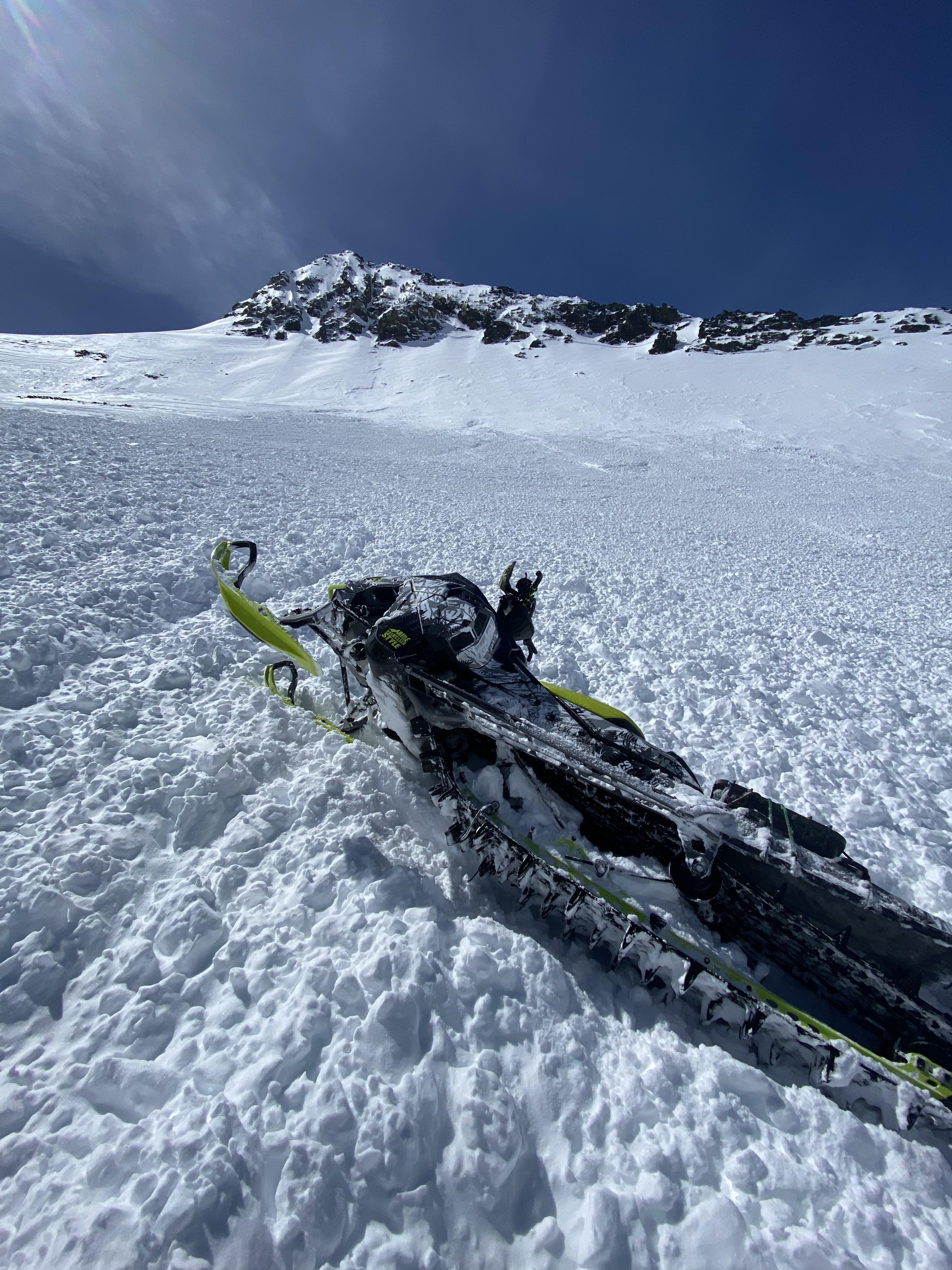
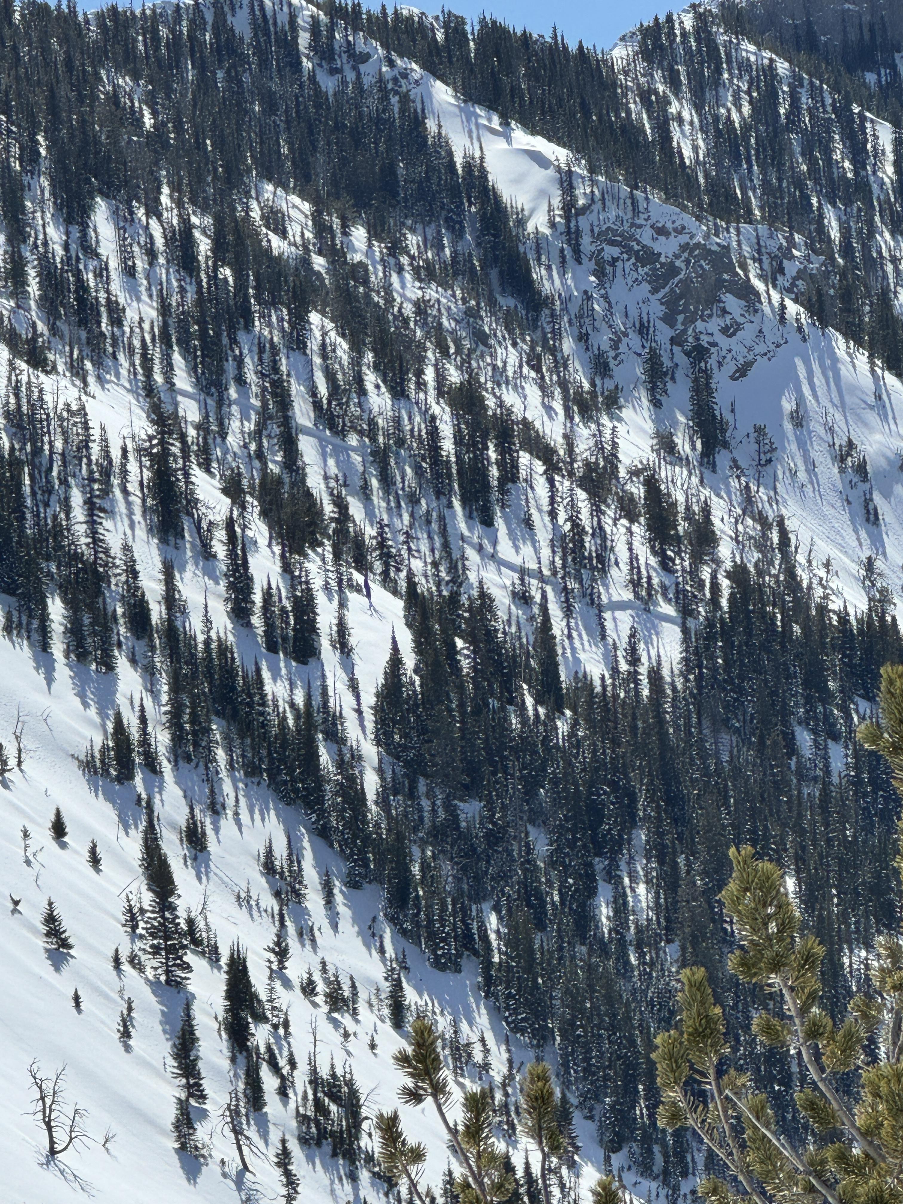
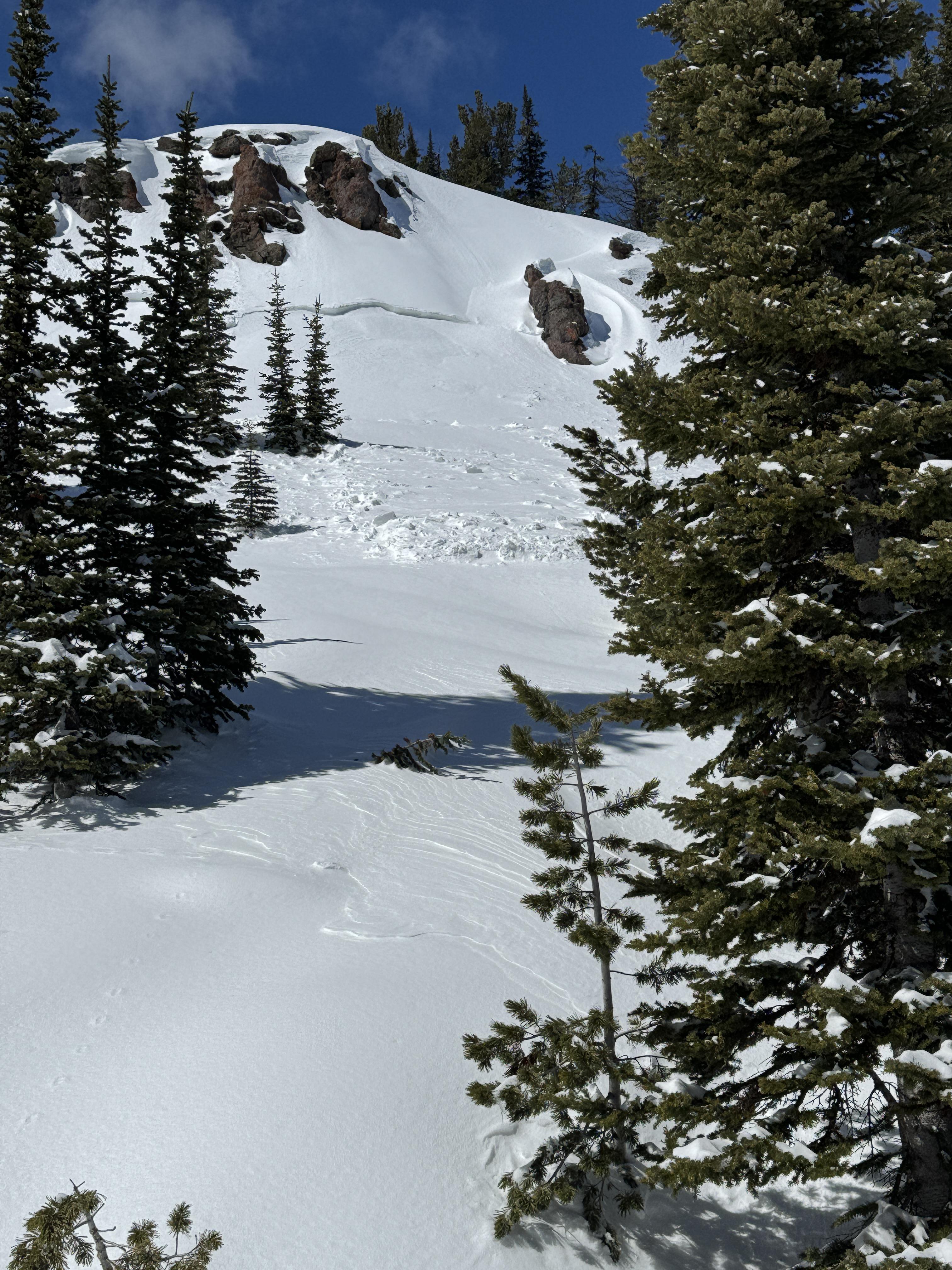
We saw one small slab avalanche that occurred since this weekend's snow. It appears to have been triggered by a snowmobile yesterday (4/1/24). It broke 10" to 2 ft deep, 50 ft wide, and ran ~50 vertical feet. It broke on a thin layer of facets beneath the new snow. Digging in the crown, dry facets at the ground were along still present and weak (fist hardness).
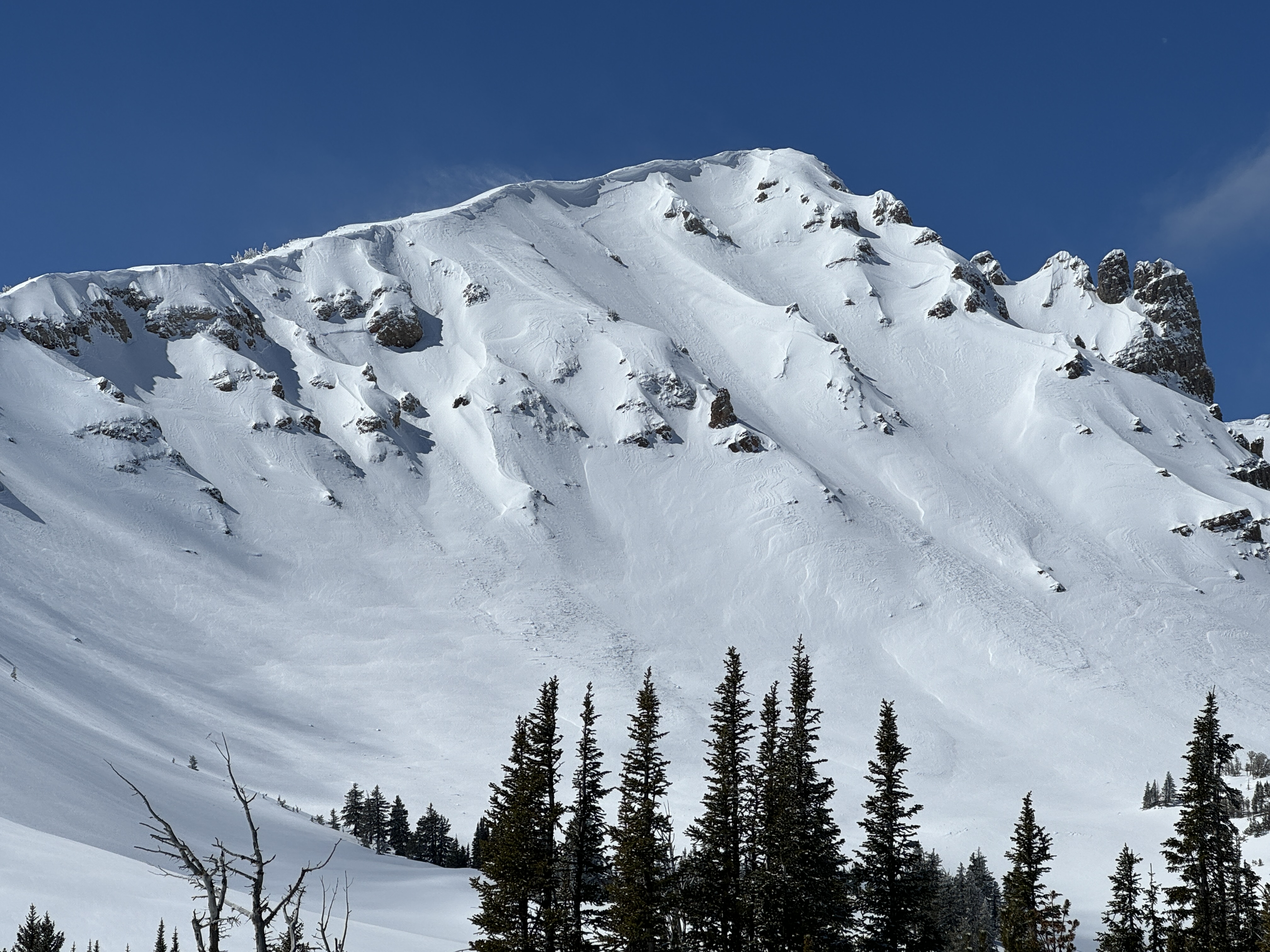
Signs of older avalanches were visible beneath the new snow, including one slide that broke in early March. No cracking or collapsing were observed today.
Full Snow Observation ReportMOD rising to CON seemed totally reasonable.
Rode up to maintenance shack then across to East Hotel creek and dug on the south slopes.
From there we rode to upper Hellroaring creek and to below Reas peak and dug another pit. Then we traveled up and around into Jefferson bowl before heading out.
Avalanche activity seen: 5 total
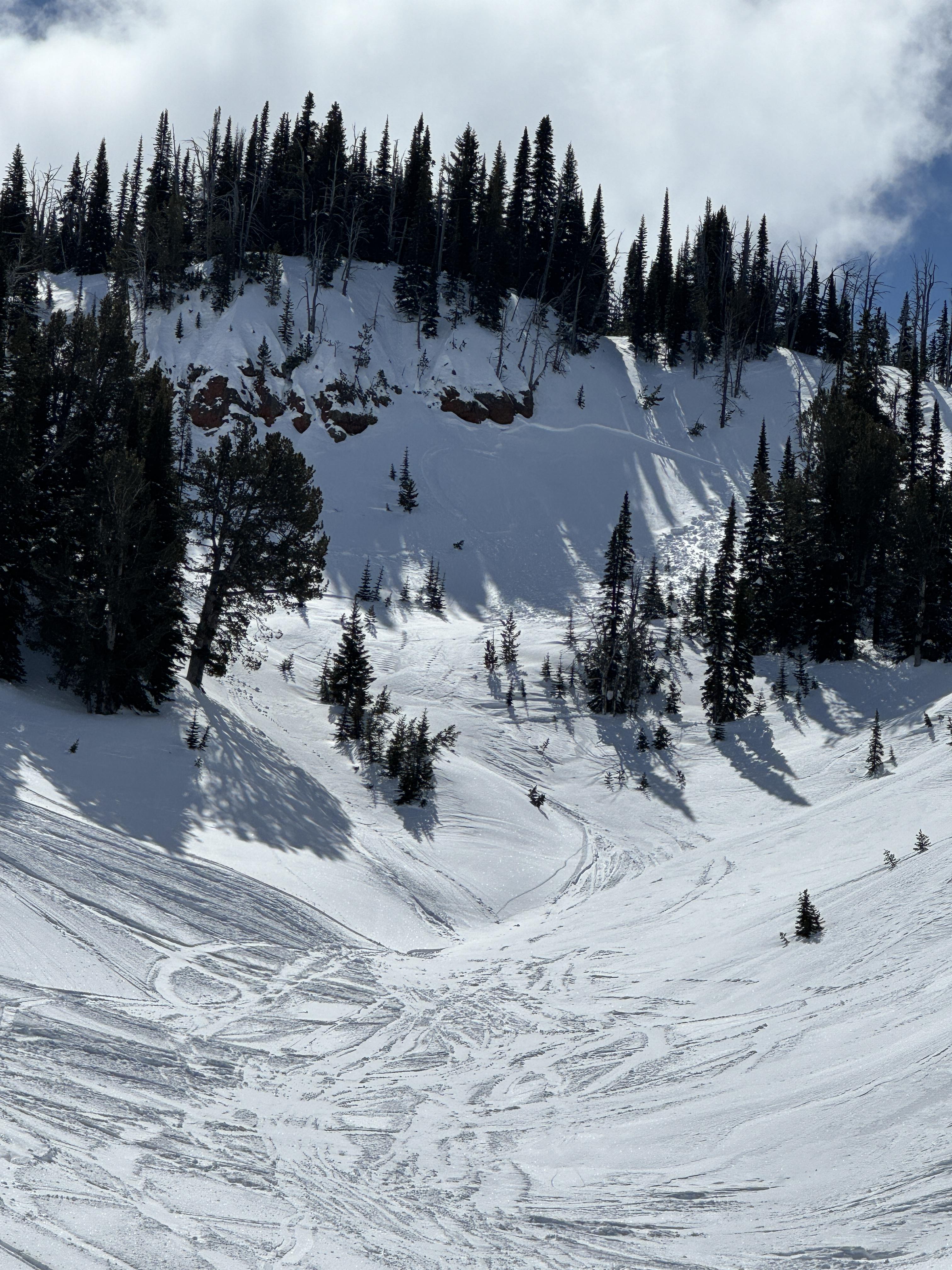
2 appeared to be rider triggered near Reas peak on North aspects that broke within or just below the new storm snow. (D1/D2)
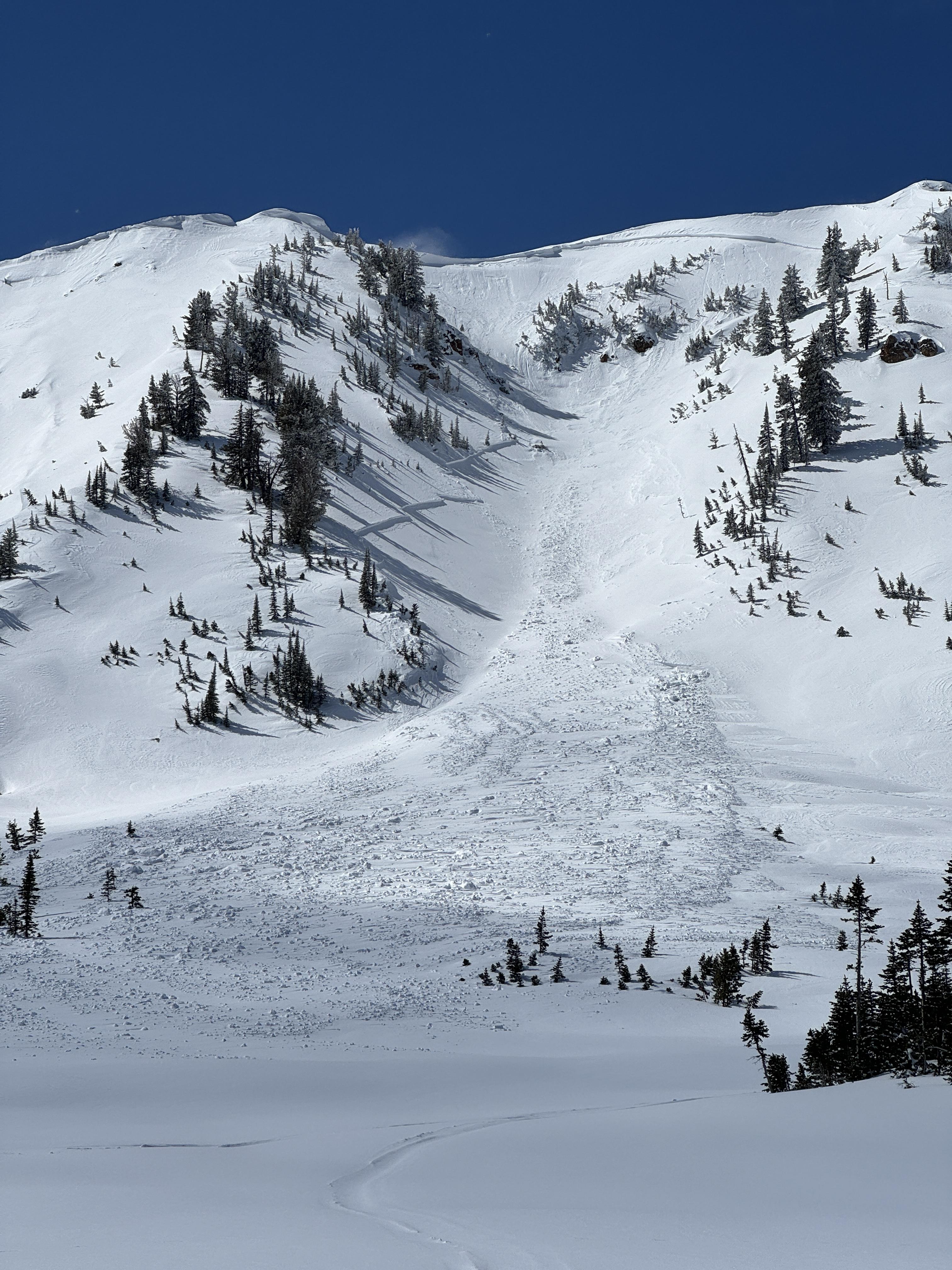
We saw a natural avalanche that broke near Yale creek on a southern aspect, again broke below new snow. (D1)
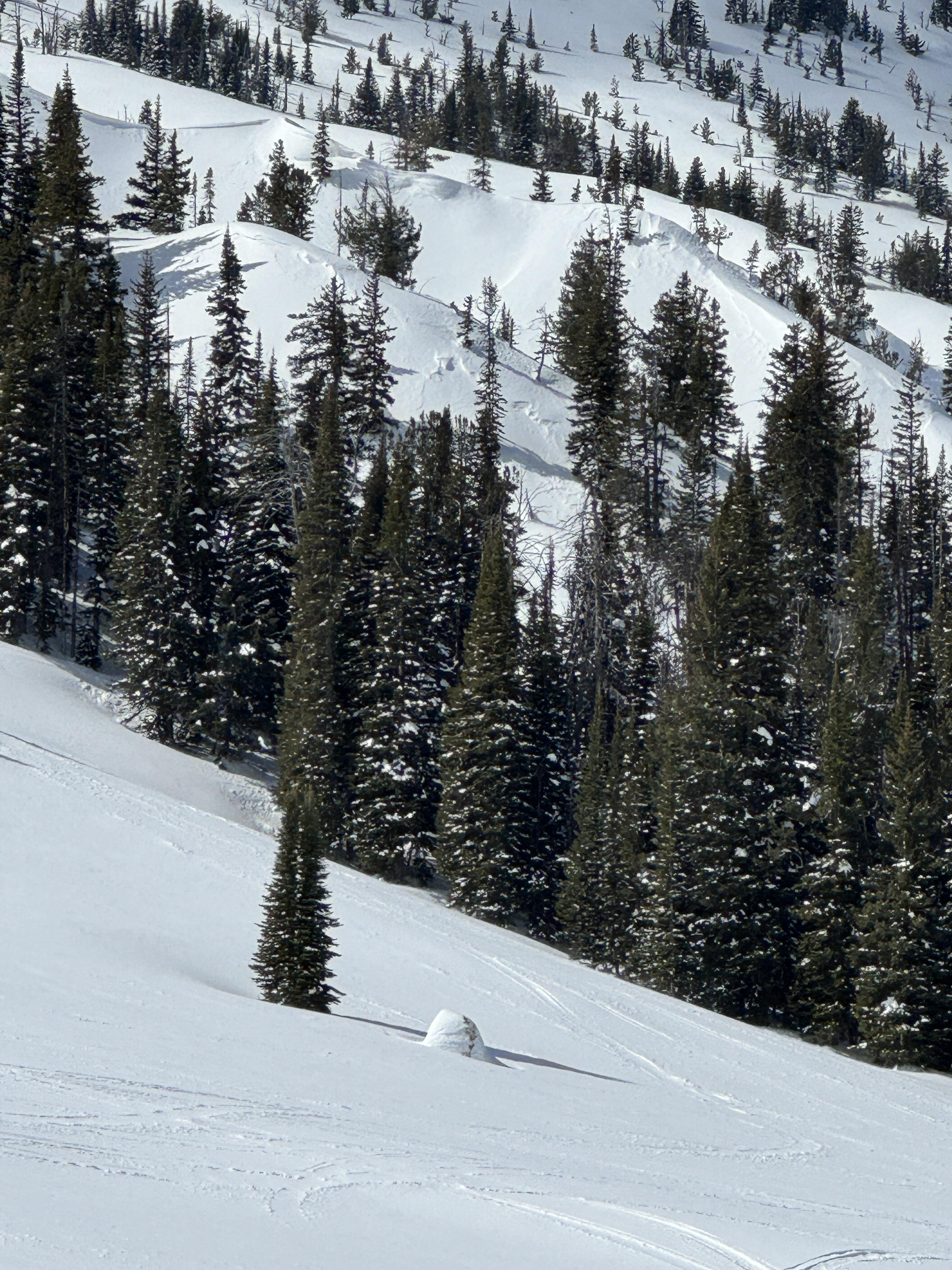
2 large natural avalanches that broke within the wind drifted snow in Jefferson Bowl.(D2/D2)
Snow depth ranged between 225-275cm in our test pits.
No signs of instability seen on our ride but temperatures were increasing and wet snow activity will likely follow. In our pit above East Hotel we observed the new snow to be bonding well with the old. (ECTN’s 15/17)
In Hellroaring below Reas we observed facets above and below the upper most crust under the new snow and got propagation.(ECTP15)
Travel Advice:
Human triggered avalanches are still possible but it is not unreasonable to explore into avalanche terrain.
However, we suggest digging down about 3’ below the new snow and asses how it is bonding before riding into steeper terrain. As always carry rescue equipment and reduce risks by only exposing one person at a time while others keep watch from non-avalanche terrain.
Moderate is good for now.
Similarly to other forecast regions I expect wet snow instabilities to increase throughout this week.
We rode through White Elephant and Yale Creek to the head of Hellroaring Creek. There was 8-10” of dense new snow. Poor visibility limited The avalanche viewing.
As we reached the upper reaches of Yale, the snowpack was 250-280cm deep. When we dropped our probes to the base of the snowpack, we found weak snow toward the bottom. CTs and ECTNs in the single digits broke below the new snow on a layer of graupel. No other upper-level instabilities were noted. The depth of the weak layers at the base of the snowpack makes them difficult to trigger but any subsequent avalanche would be catastrophic.
Full Snow Observation ReportWe will hold the danger at CONSIDERABLE through the storm. We will hold it CONSIDERABLE an extra day after the storm and then drop to MODERATE.
Out with the Ride Rasmussen trip and found some test slopes to Sled cut.
Was able to produce some cracking and small slabs. S/SW aspect 7800.
Moderate to heavy snow throughout the day. New snow varies from 5”-10” in the deeper drifted locations.
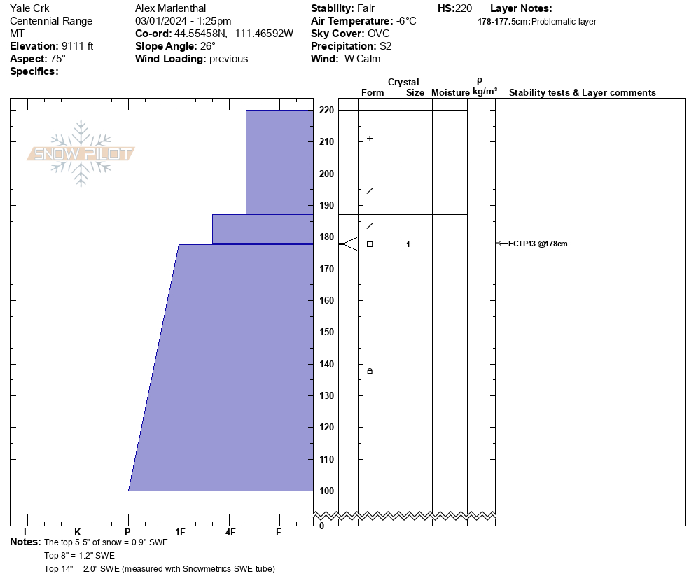
We rode from the bottom of Sawtelle over into Yale Creek. There was 5-7" of snow from last night and 14" of settled snow (2.0" SWE) from over the past week. Wind had formed thick drifts over the past week and was forming fresh drifts today. We did not see cracking in fresh drifts that we rode through. However, with new snow and wind-loading currently growing slabs, we expect avalanches breaking in the new snow and drifts are likely on steep slopes. In one snowpit we had ECTP13 on a thin layer of facets below the 14" of snow from over the last week. This could contribute to avalanches breaking under the weight of new snow and drifts as the slabs get larger. We did not see anything remarkable break on the weak layers deeper in the snowpack, but we are not trusting deeper weak layers during the ongoing loading this weekend, and we expect deeper avalanches are possible to trigger or could happen naturally.
Snow fell lightly all day with some heavier pulses, skies were overcast, and wind was light with moderate gusts from the west. We did not see any avalanches, but did not see much terrain due to limited visibility.
Full Snow Observation ReportRode Sawtell past two days. Very wide spread stout slab formed under the new snow that’s fallen. Heavy winds have scoured new snow away in places and deposited pillows in other aspects. Dug a pit with ECTX results but did not two layers of concern. One thin buried facet layer about 60cm down and the thick melt freeze about 80cm down. HS was 160 on a SE aspect about 8300.
Full Snow Observation ReportCentennial range blue and Wilson creeks. Did not see any signs of avys , or snow collapsing or whooping. Riders were on exposed slopes steeper than 30 degrees on all aspects high marking. It seems the centennial range has A more stable pack than other advisory areas. Although did not evaluate snow pack or dig pit, we stayed in low angle terrain
Full Snow Observation ReportNo details, came upon them while riding and making observations of the terrain. One was North-Northeast, the other was North-Northwest facing. Across the drainage from each other.
Also, notice three other small avalanches on a west facing slope, about two miles east of the first two. All five were on slopes well over 30. In the centennial mountains, close to the continental on the Idaho/Montana border.
No details, came upon them while riding and making observations of the terrain. One was North-Northeast, the other was North-Northwest facing. Across the drainage from each other.
Also, notice three other small avalanches on a west facing slope, about two miles east of the first two. All five were on slopes well over 30. In the centennial mountains, close to the continental on the Idaho/Montana border.
Wind was calm and there was no new snow overnight. A small whumpf in the skin track was followed by a massive one a few minutes later. I can count on one hand the number of times I got whumpfs in a skin track...rare indeed. The second one was so big it had us both deeply concerned. We peeled off the skin track after deciding to not cross a gully and soon found debris from a sizeable avalanche that released a couple days ago about 500' above us. We dug in the flank and had 100 cm of snow, 60 cm new from last week. The snowfall during the Avalanche Warning, doubled the depth and more than doubled the snow water equivalent of the snowpack. It was a large load and avalanches are breaking underneath the new snow.
Karl was using his 100 cm long Norwegian Battle Saw (pic)...a bit overkill.
Full Snow Observation ReportKarl and I were pretty spooked about the collapse in the skin track. The conditions there were the worst I've ever seen, so crossing the gully in the trees was not something we wanted to do. We cut back and within a 100' elevation gain we found an avalanche. It ran hundreds of feet below us. We also did a RB because Karl had his extra long Norwegian Battle Saw. RB4, not planar.
From IG 2/10/24: “East aspect, southwest of island park from the blue creek trailhead.”
Full Snow Observation ReportToured up Brackett Creek to 8000’ on the E shoulder of Ross Peak. Depth of 90-120cm near 8000’. No propagation in ECT (ENE 7900’). Lots of trail breaking and no collapsing or whumps. No avalanches observed.
Full Snow Observation ReportTest snow profile. The snow was surprisingly deep at HS 180, most likely from wind loading. Felt and heard various collapses of the snow during the day while riding snowmobiles. Approximately 30CM of fresh snow over a thin MFC followed by a dense thick snow slab. CT and ECT indicate this MFC is the weakest layer. CTM(16)SC down 30, ECTN(6) down 30
Full Snow Observation Report

