Snow Observations List
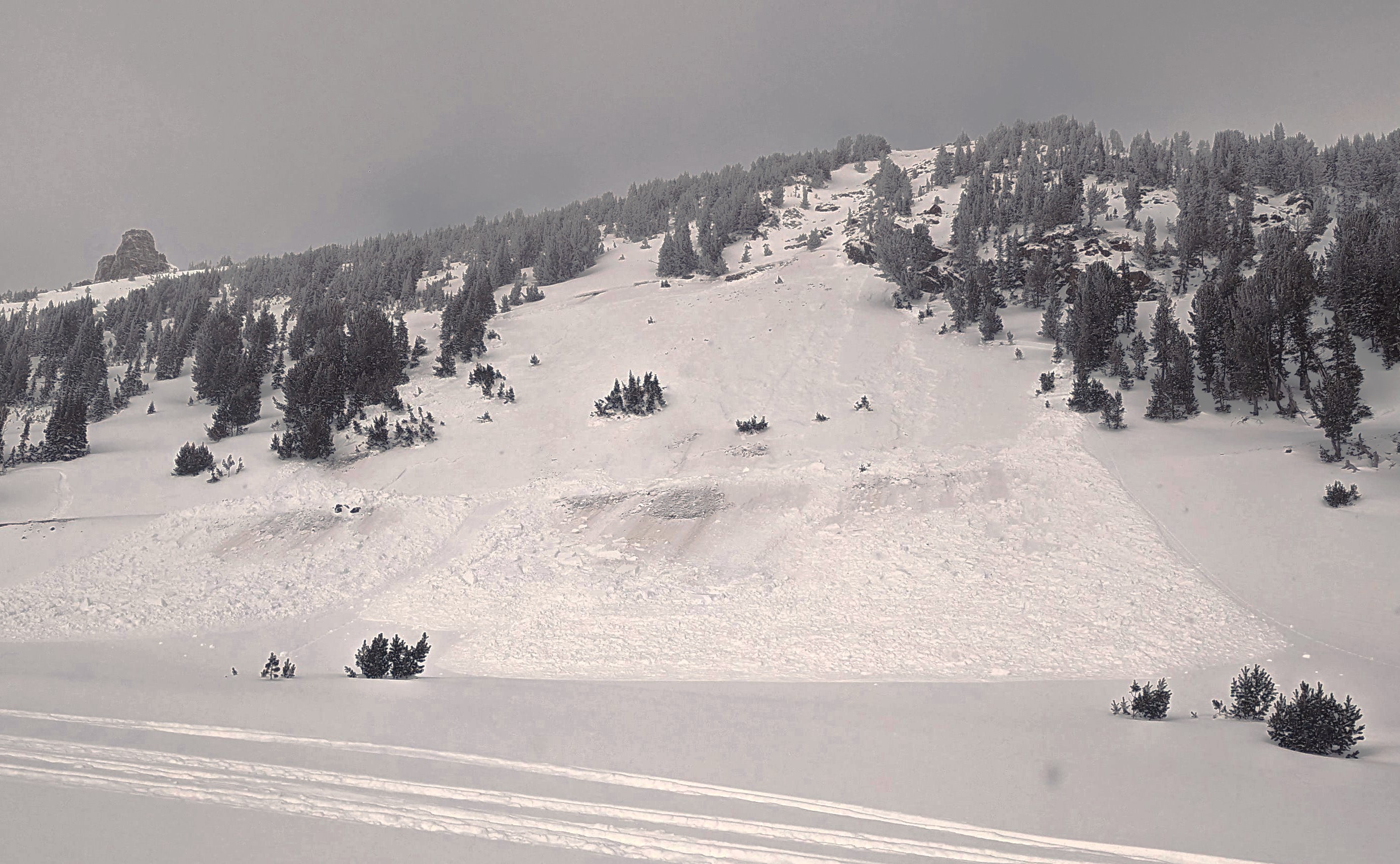
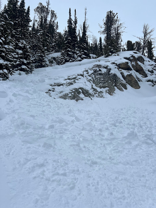
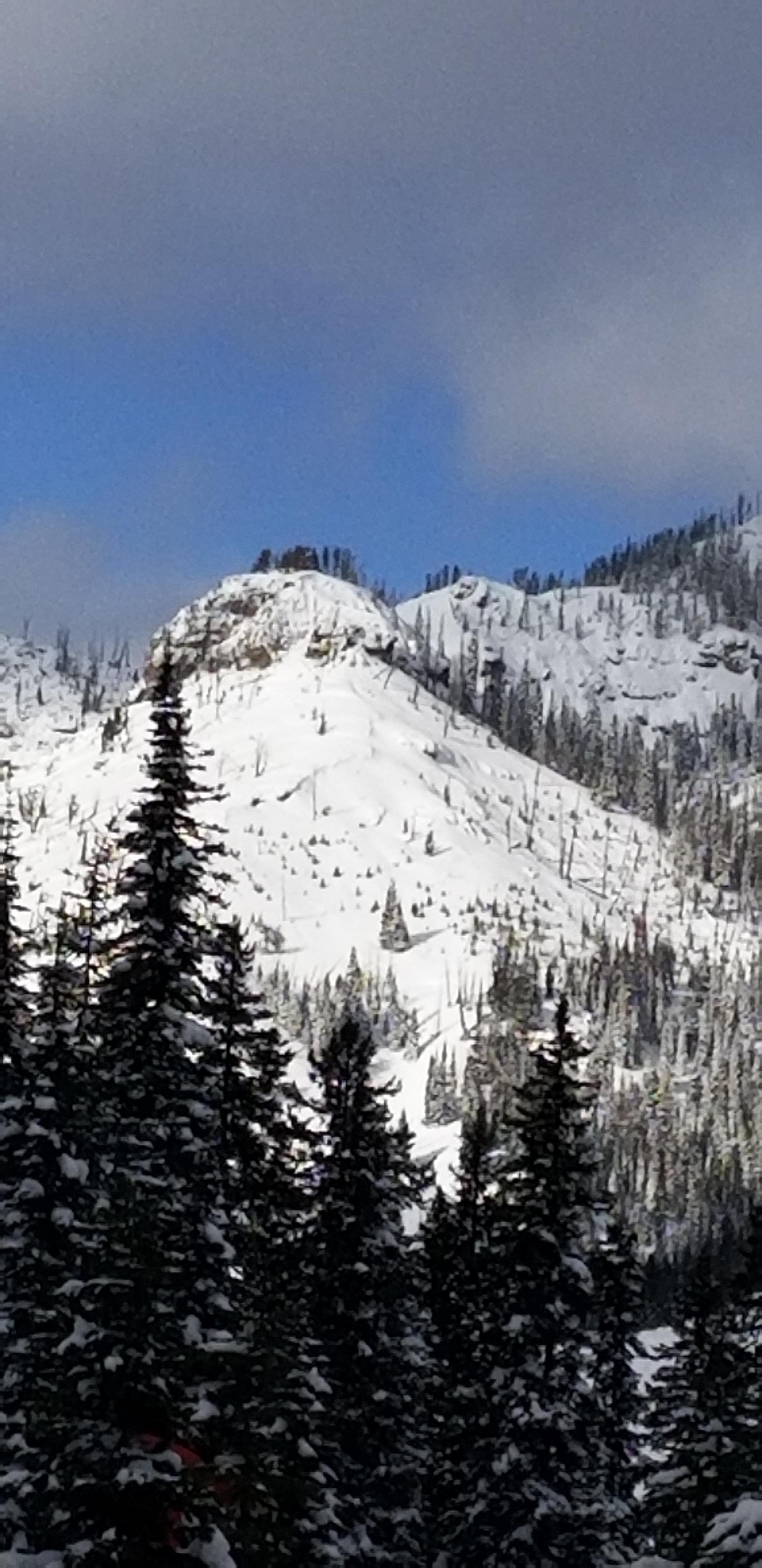
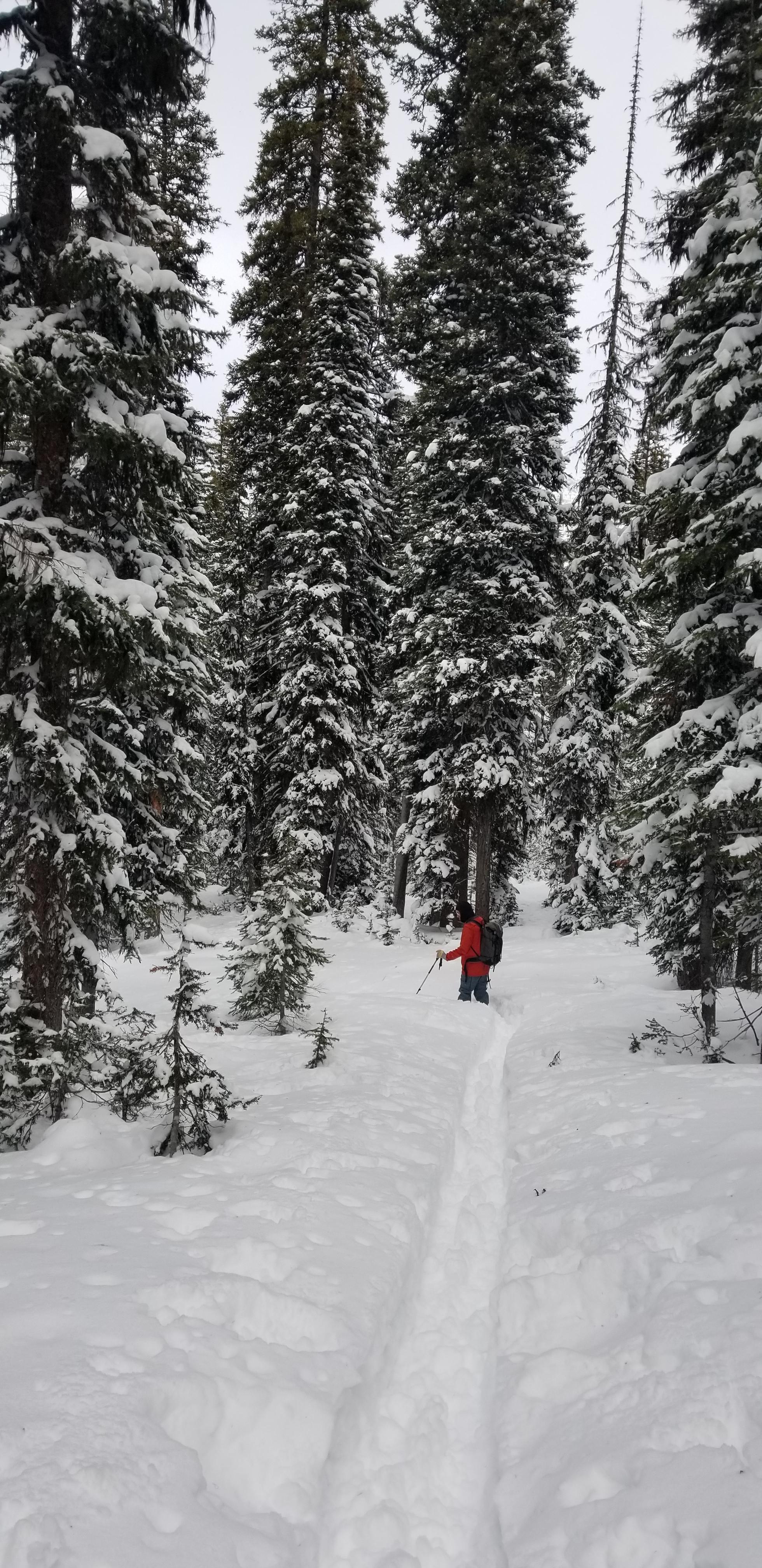
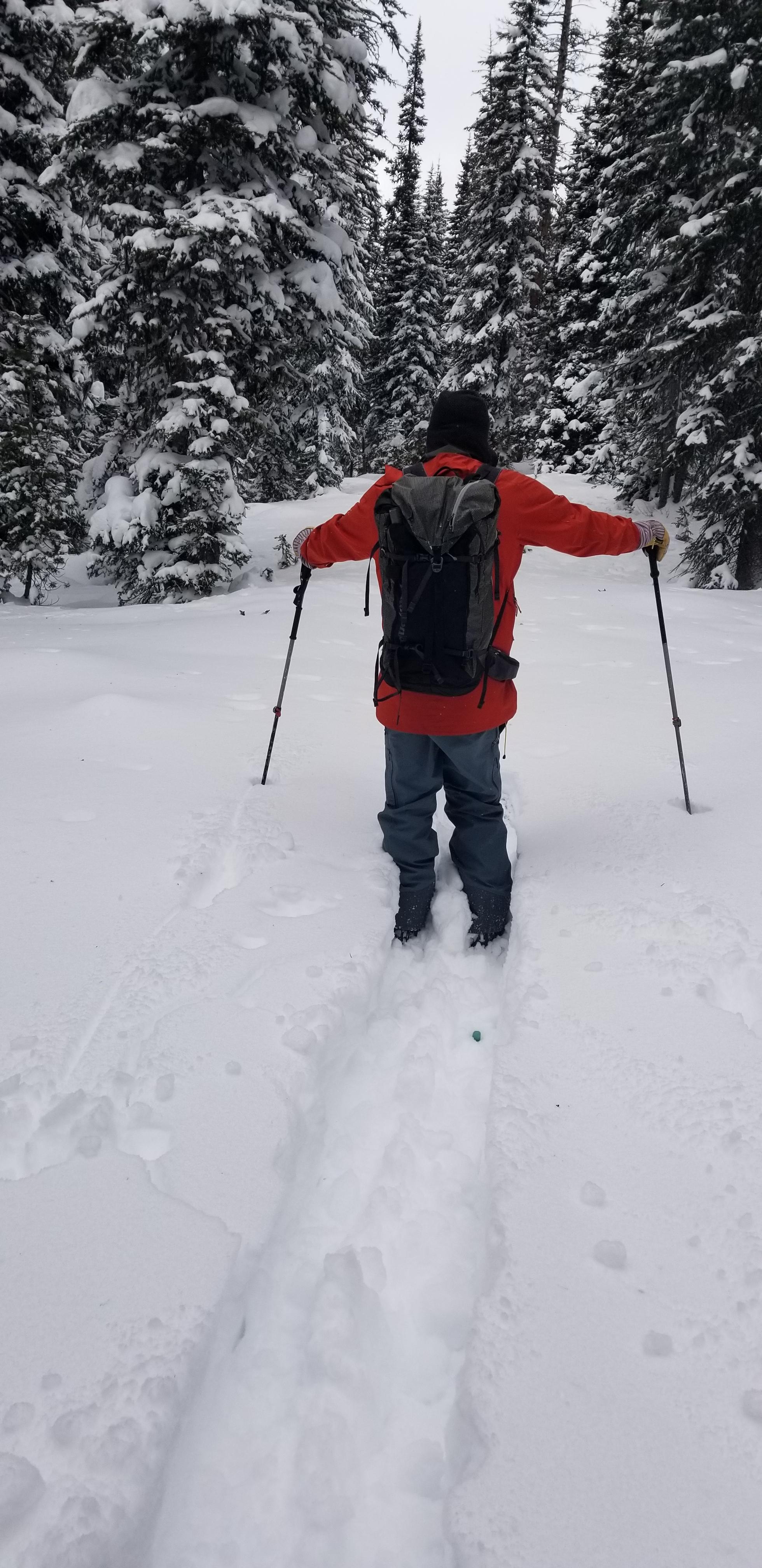
Slide right off groomed trail near Chimney Rock
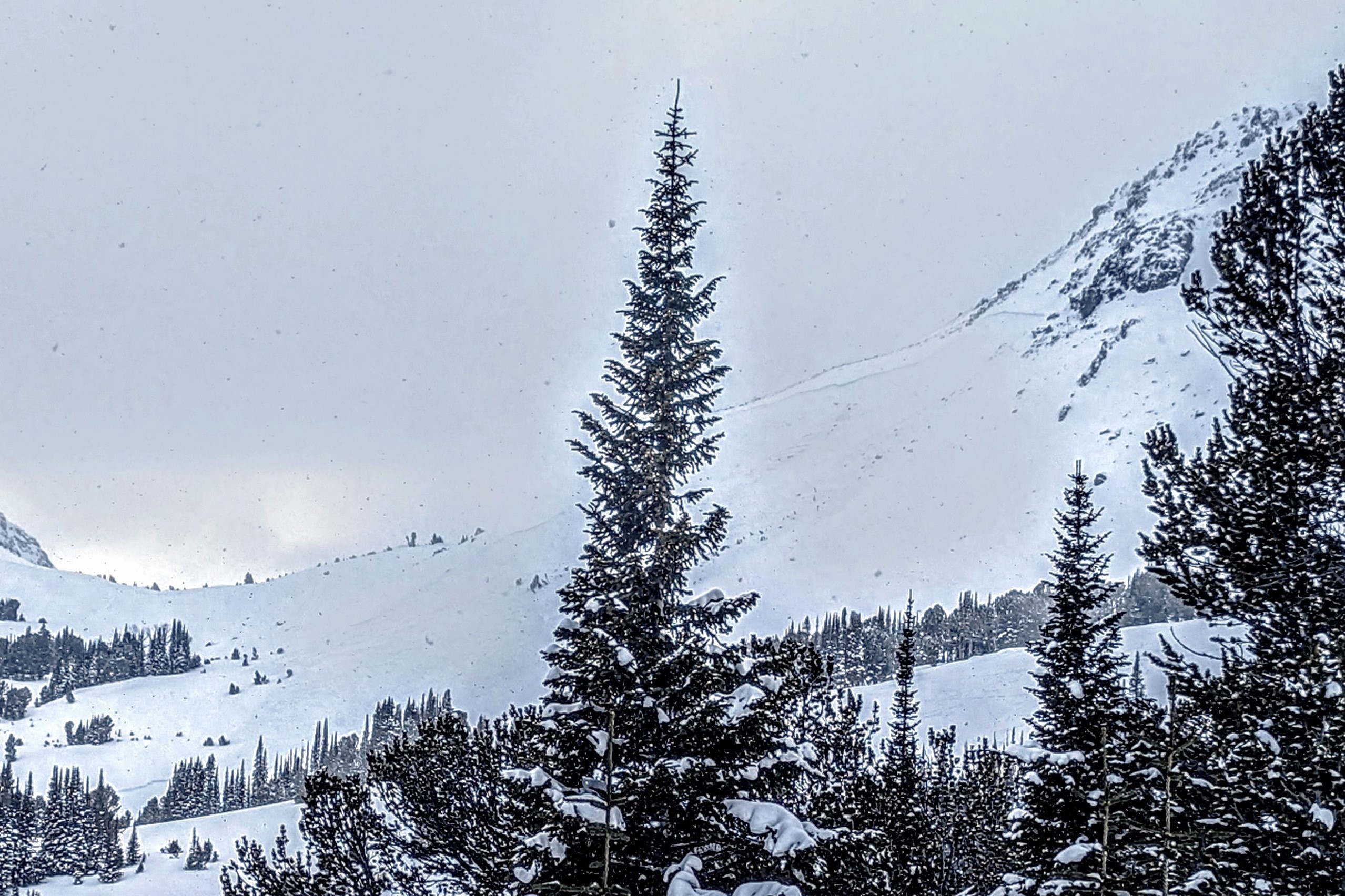
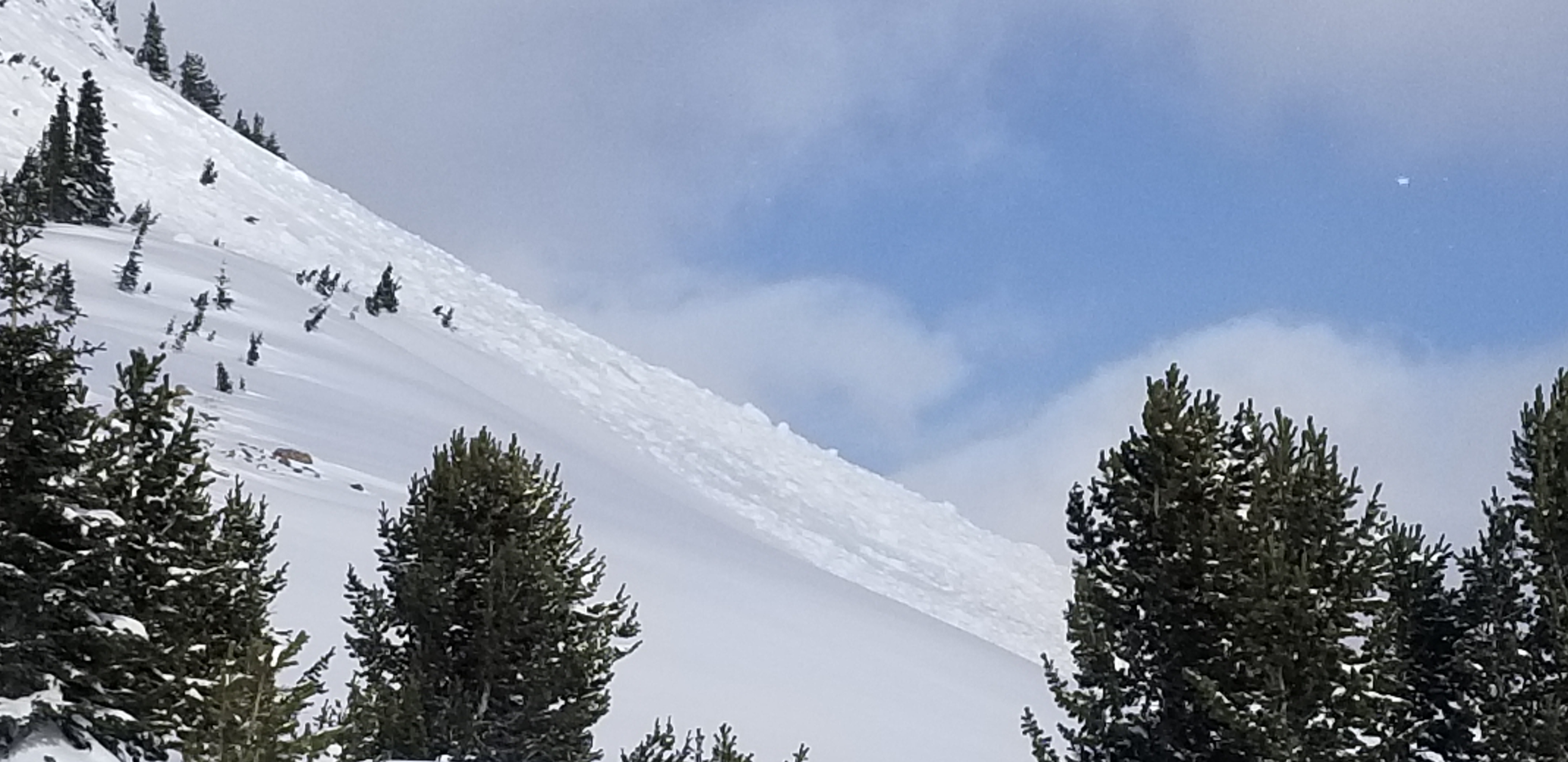
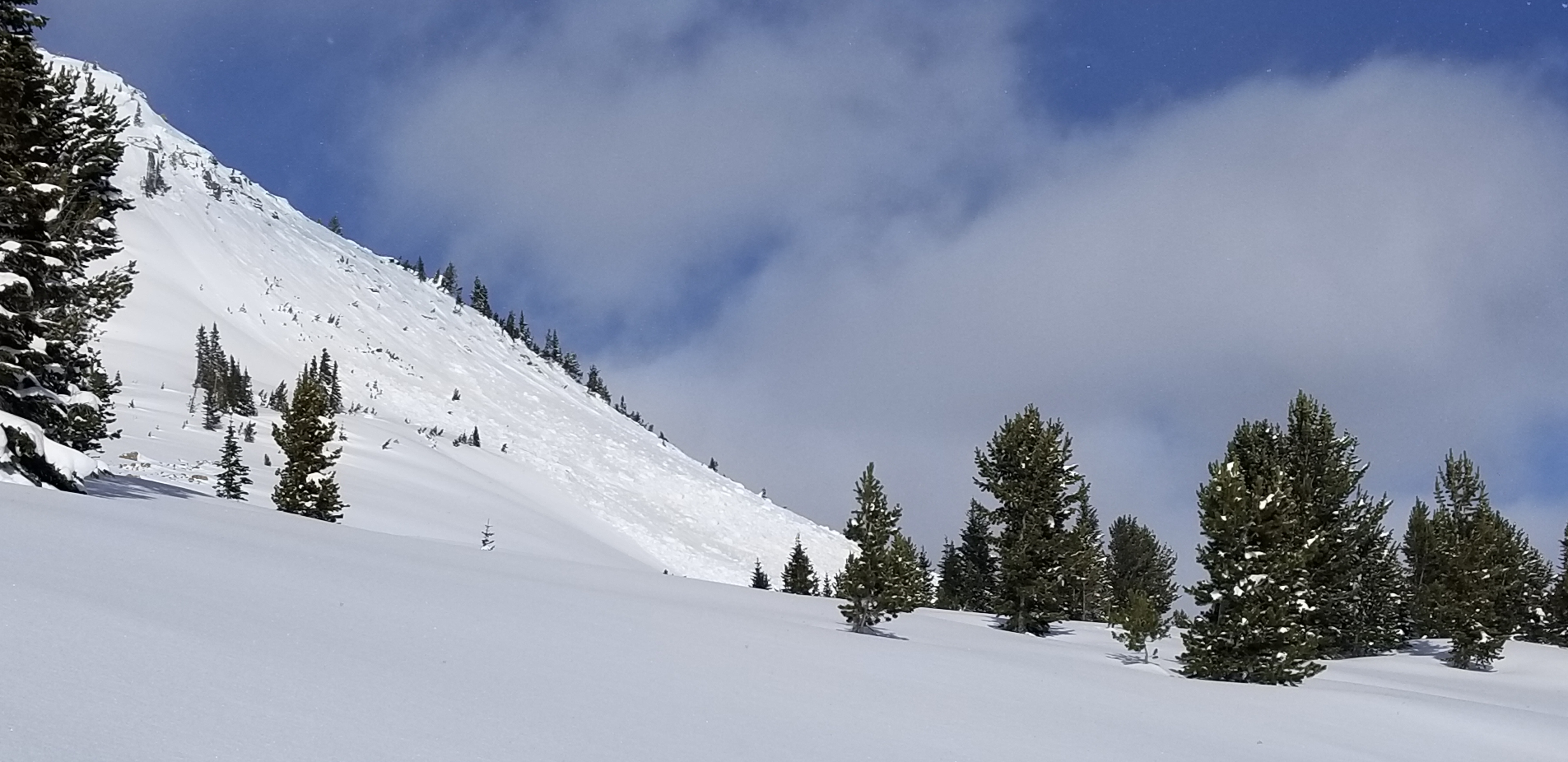
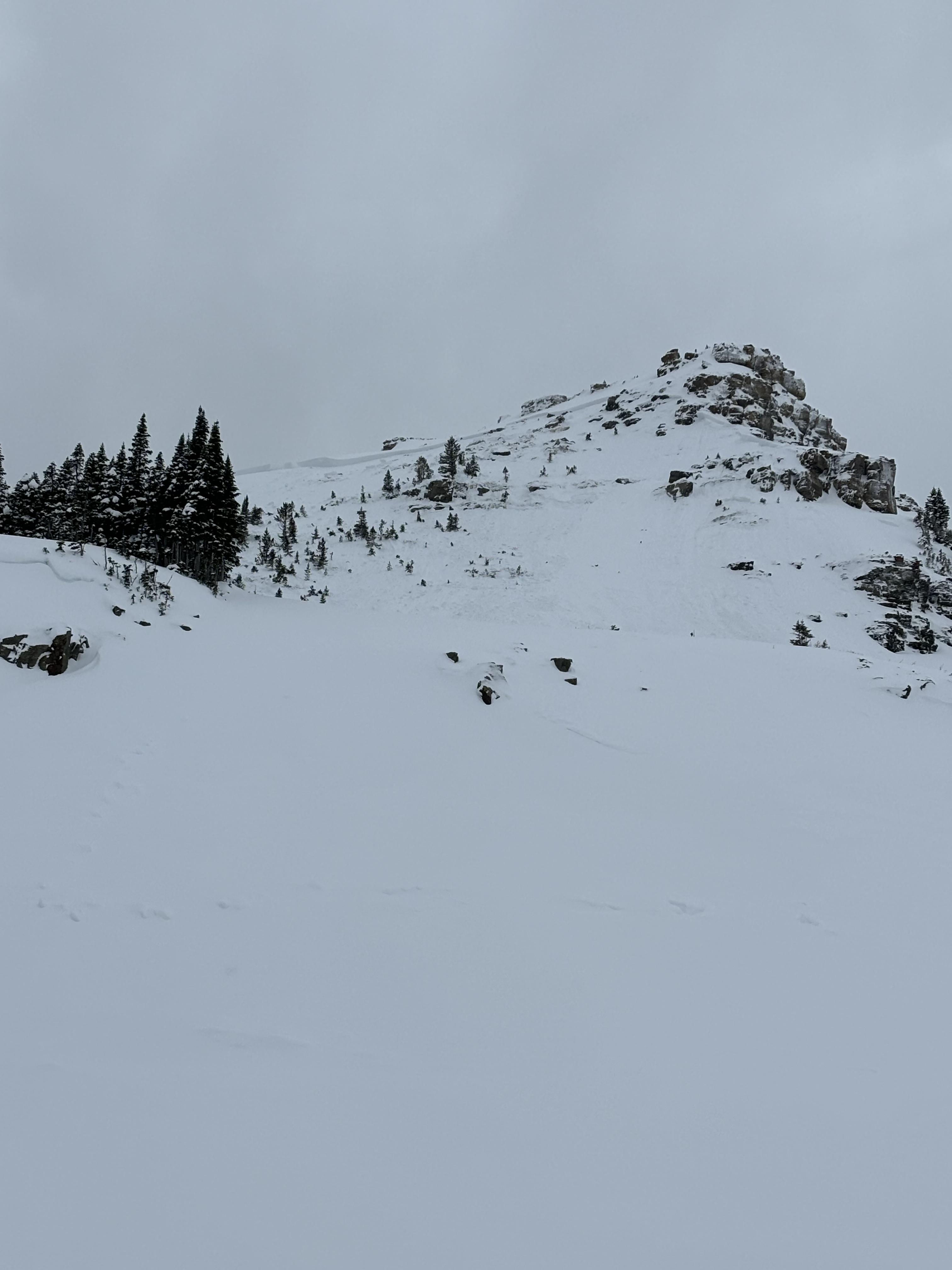
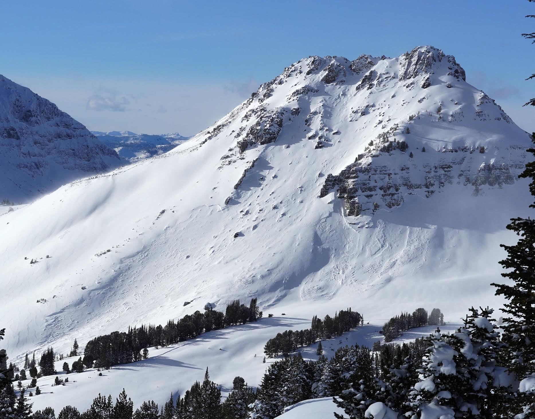
Full Snow Observation ReportLooks like a natural slide on the SW face of Crown Butte/ Bull of the Woods pass. Spoke with some skiers that thought it slide morning of 01/25/2024.
Full Snow Observation ReportCouple days old [1/23 or 24]. Better light on it today. S aspect. 9800'
19° at 11:00 a.m. under overcast skies but warmed up when the sun came out.
(Photos by T. Parrie)
Full Snow Observation ReportSkier triggered several small avalanches while skiing near the zimmer creek yurt and observed a large natural avalanche on Sheep Mountain.
From email: "
I did not get a good photo but yesterday (01/24) skiing out of the yurt with friends noticed a large natural on the NorthEast facing bowl on Sheep Mountain. Similar size to the Henderson slide if not a little larger.
~300 ft. crown and ran a similar distance (300-400ft?)
Also remote triggered a few D1 avalanches over the past 2 days. Continous cracking/collapsing even in a day old skin track. "
Full Snow Observation ReportFrom email: "Photo of a recent slide observed today, north of Cooke. East aspect, 9k'.
We also remotely triggered a different, small avalanche today from safe terrain while eating our lunch!
And had an ECTP3 and ECTV on the Jan. 5th interface (30cms down), also on easterly aspects.
Widespread collapsing today too."
Full Snow Observation ReportI believe this occurred either Wednesday Jan 24th or Tuesday Jan 23rd
Full Snow Observation ReportWas out today and noticed this large avalanche on the south side of Henderson. Looks like it happened today (1/24) or yesterday (1/23). Possible remote trigger, there were snowmobilers riding underneath that zone. The slide looks about 200 feet across and 4 feet deep in the thickest spot. D2.
Dug a pit over there. HS 145. ECTP19 50 cm down on surface hoar.
From B. Fredlund: "...large avalanche observed today on the SE aspect Mt. Henderson was not visable there at 4pm yesterday." (1/23).
Full Snow Observation ReportObserved extremely unstable avalanche conditions while ski touring in the Woody Creek Drainage south of Cooke City for the past 4 days. While traveling through the valley floor, I noted whumphing, collapsing, and cracking in the snowpack. I was able to trigger small slides on steeper test slopes just above creek beds from 50-60 feet away. I noted several larger avalanches up high, on all aspects. We played it safe and stuck to skiing and traveling through slopes under 25 degrees and limited our exposure time under large avalanche paths.
While skiing a zone called "ollies woods", a southern aspect that's relatively low angle, we noted widespread loud whumphing of the snowpack in the trees. I Spent some time traversing around the tree'd face on the way down to my group, traveling far right to a sub-ridge where the aspect changed to east, the terrain became more open, and slope angle became steeper. I felt a large whumph, paused, and turned around descending the rest of the southern aspect to the valley bottom.
Once back to the valley bottom, I saw a recent avalanche had slid just below where I was standing earlier on the sub-ridge. Looking from a far, the crown looked about 10" - 15" deep, 60'-100' wide, and fractured on a layer of facets. The slope angle was 31 degrees and at 9100ft elevation. See photo, x marks my relative location when I heard the "whumph"
SS-ASr-R1D2-O
Full Snow Observation ReportAlso that large avalanche observed today on the SE aspect Mt. Henderson was not visible there at 4pm yesterday (1/23)
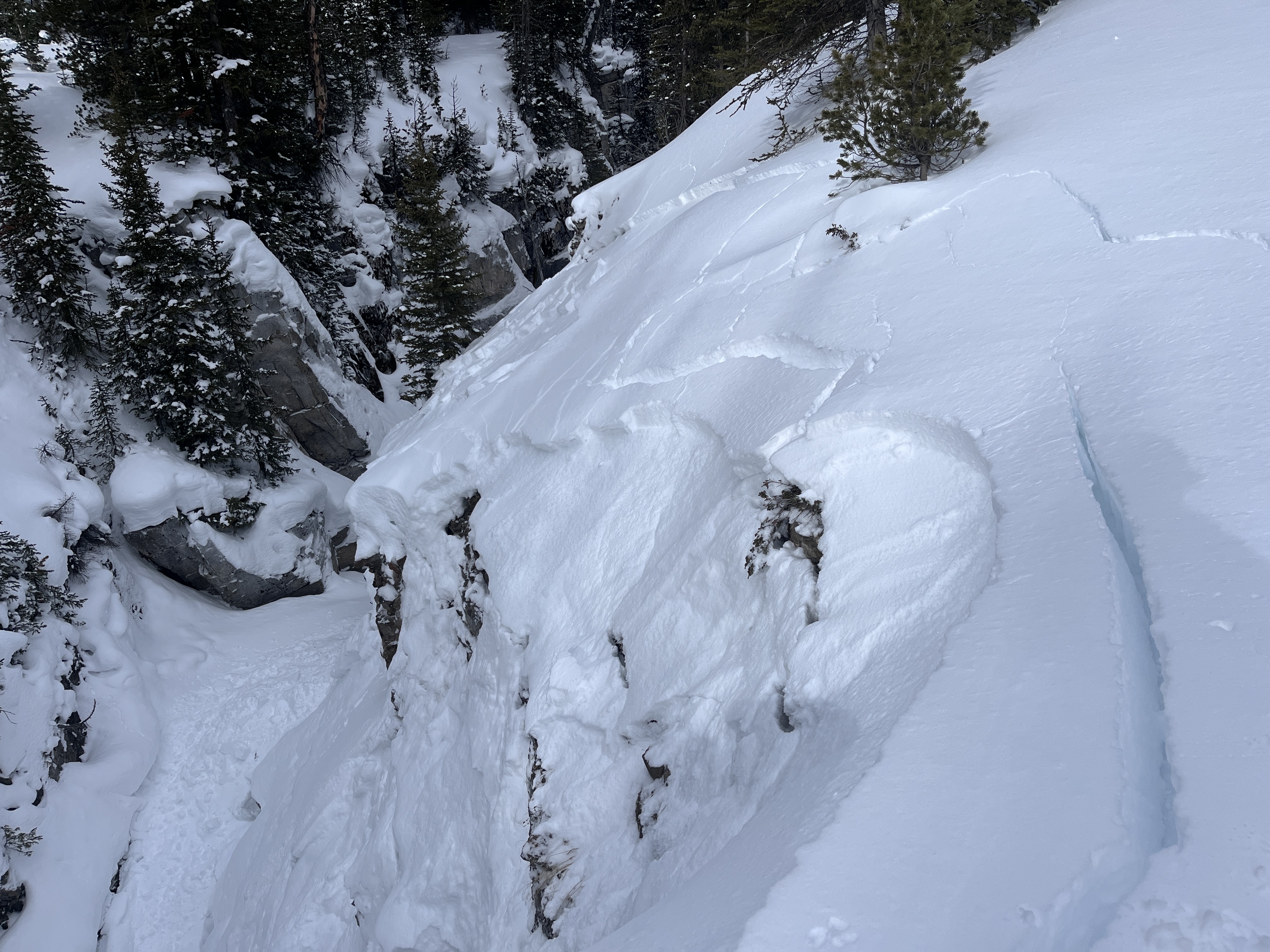
Full Snow Observation ReportStill experiencing whumphing, and cracking along the skin track. Tracks from 24 hrs ago had filled in from wind. Wind today was 3-6 mph at 8900'. HS at 8900', exposed ridge = 30" deep. We saw 2 slides a couple days old? One was either natural or possibly remotely triggered by skiers this weekend (photo attached). SE aspect, about 9000' elev.
Temp was 28° up high, 38° at highway. Ski out from switchbacks down was sticky.
Full Snow Observation Report
Remote triggered a D1 avalanche from about 150’ away from below in a meadow. Cracking and collapsing everywhere.
Full Snow Observation ReportRemote triggerd a D1 Avalanche from about 150' away. Crown was 1-2' deep. The debris ran onto an apron that was shared with a larger slope which subsequently triggered a larger D2 Avalanche that was about 100' wide with a 3'-4' crown. Lots of cracking and collapsing of the snow pack all day and remote triggered a few other smaller slopes during the day. The snowpack is very sensitive out there right now.
Full Snow Observation ReportWidespread cracking and collapsing were observed both north and south of Cooke City.
North of Cooke City Level 1 snowpits:
Got multiple ECTPs 12-17 taps, 65 down. Got one ECTV. HS ranging from 110-165.
9820' SW, Aspect, ECTP16 60cm down on small grain faucets
South of Cooke City Level 1 snowpits:
Dug a total of 7 pits throughout the day and 5 got propogation <5. Failing on the same SH/Facet layer 30-45 down
South of Cooke City numerous avalanches were observed on E, W, and Northern aspects. These all likely happened during or following a recent storm on 01/18. We stepped off the skin track and remotely triggered a small slope above the creek below. Took a closer look and it failed on surface hoar/facets 35 cm down. A skier-triggered avalanche was also seen on the west side of Woody Ridge.
Full Snow Observation ReportNaturals on most slopes, small in size for the most part. Poor lighting but the terrain near the climax also went.
Other emails from BPG:
Nina: Wow, nice! The last time that slope was remote triggered was in Feb 2017 at the beginning of the historic avalanche cycle. Forrest dug a pit a few steps below the skin track and remote triggered that slope.
Gloria: yah Zack was pumped he kept saying, I triggered Forrest's Avalanche!
Ski toured to west Woody Ridge today, south of Cooke City.
We set a new skin track and I would estimate that 80%+ of the snow we touched created a large collapse/ whompf. Many of the collapses were large and loud (over 100' wide). It seemed like remotely triggering an avalanche would have been easy/ likely had we been connected to steeper slopes.
We noted widespread avalanche activity in a nearby gully (NW aspects) adjacent ski tracks from yesterday.
In our snowpit at 9700', on a westerly aspect, we had an ECTPV. On 2mm facets, 45cms down.
I've skied that area a lot over the last 15 years, commonly during big snowstorms and elevated avalanche hazard, but today seemed like one of the most hazardous, if not THe most hazardous days for avalanches I experienced there- given the widespread nature of the PWL and thickness and sensitivity of the slab.
The warm temperatures today likely had a significant influence on the instabilities. (35 deg F in town for much of the afternoon.) Lots of roof-a-lanches noted today as well.
Full Snow Observation ReportFrom email on 01/22:
"On 1/20, we toured north of town into sheep creek to ski the north-facing burn glade. We saw no new avalanche activity, but continued to experience numerous collapses as soon as we stepped off the skin track. The sun came out periodically in the morning, and that's all it took for the new snow to become much more wet and heavy. The denser snow was able to support the weight of a skier a little better and we subsequently experienced fewer collapses. Winds picked up from the west into the afternoon and began to transport a lot of snow around."
Full Snow Observation ReportPhotos from email. Avalanches previously reported - https://www.mtavalanche.com/node/30013
Full Snow Observation Report115-120 cm HS @ 8250'
Temp in the low 20's. Overcast until at least 3 p.m.
West side of tree trunks snowblasted by wind, both on the south and north sides of the ridge into Pebble Creek.
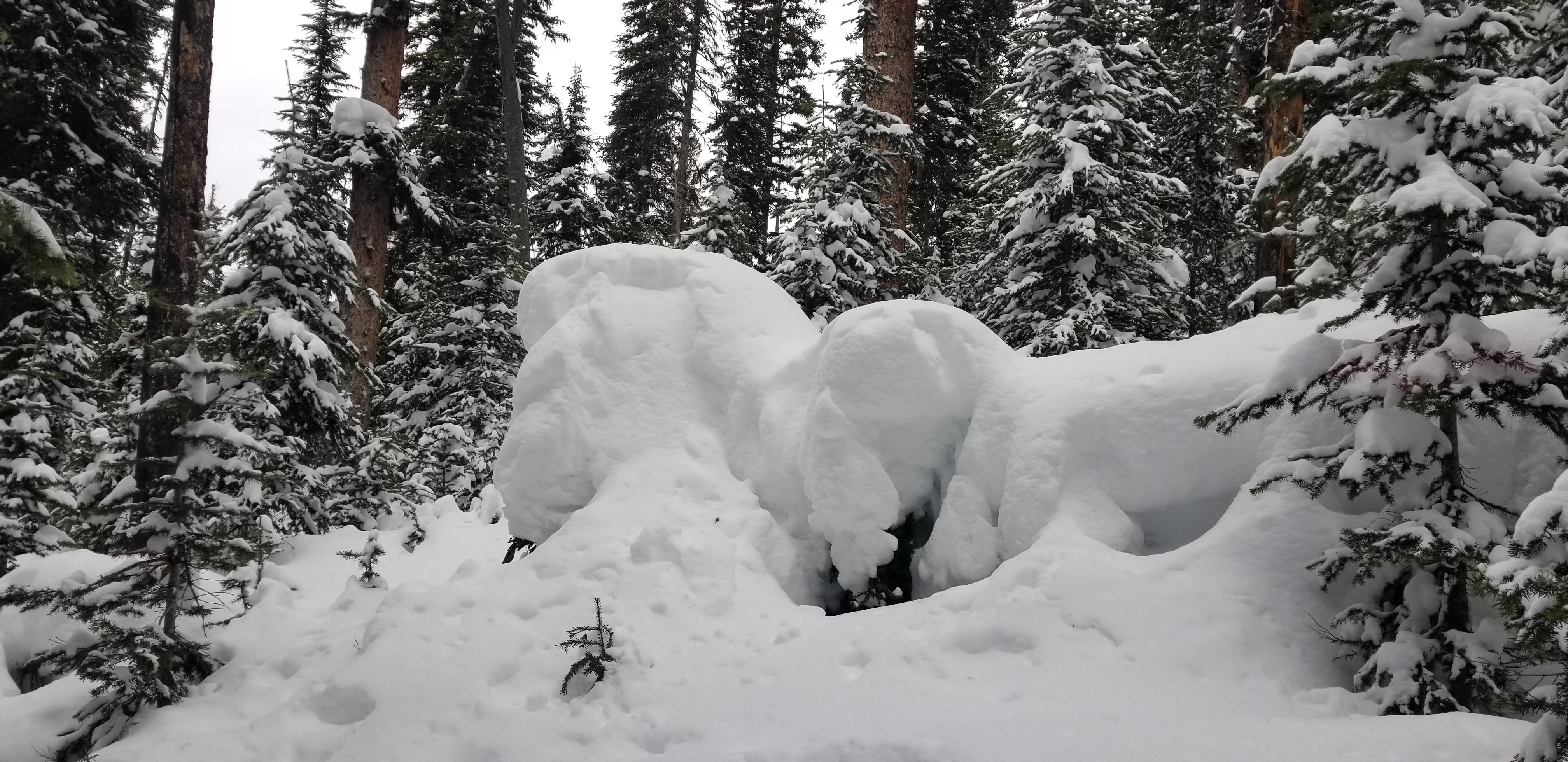
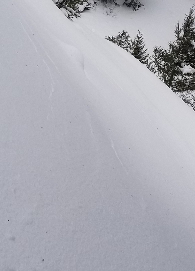
Experienced whoomphing starting at 8000', midway up the gully, south side of the ridge, where there was some wind deposition. Parallel cracks 10' apart - looked like "stretch" marks. Extensive whoomphing in the saddle and down in Pebble Creek Valley. Ski penetration = knee deep, and trail breaking was a bit of work today. 18" new snow at 8250' and in Pebble Creek. Snow was too deep for turns on mellow slopes, and too much collapsing to go steeper. Occasionally broke through the hard layer, into the hollow below.
Still windy in Pebble Creek (less than 10 mph), but definitely wind scoured. Looked like a natural avalanche on SE facing slope of the ridge to the N of Pebble Creek.
Coverage still slim down towards the highway.
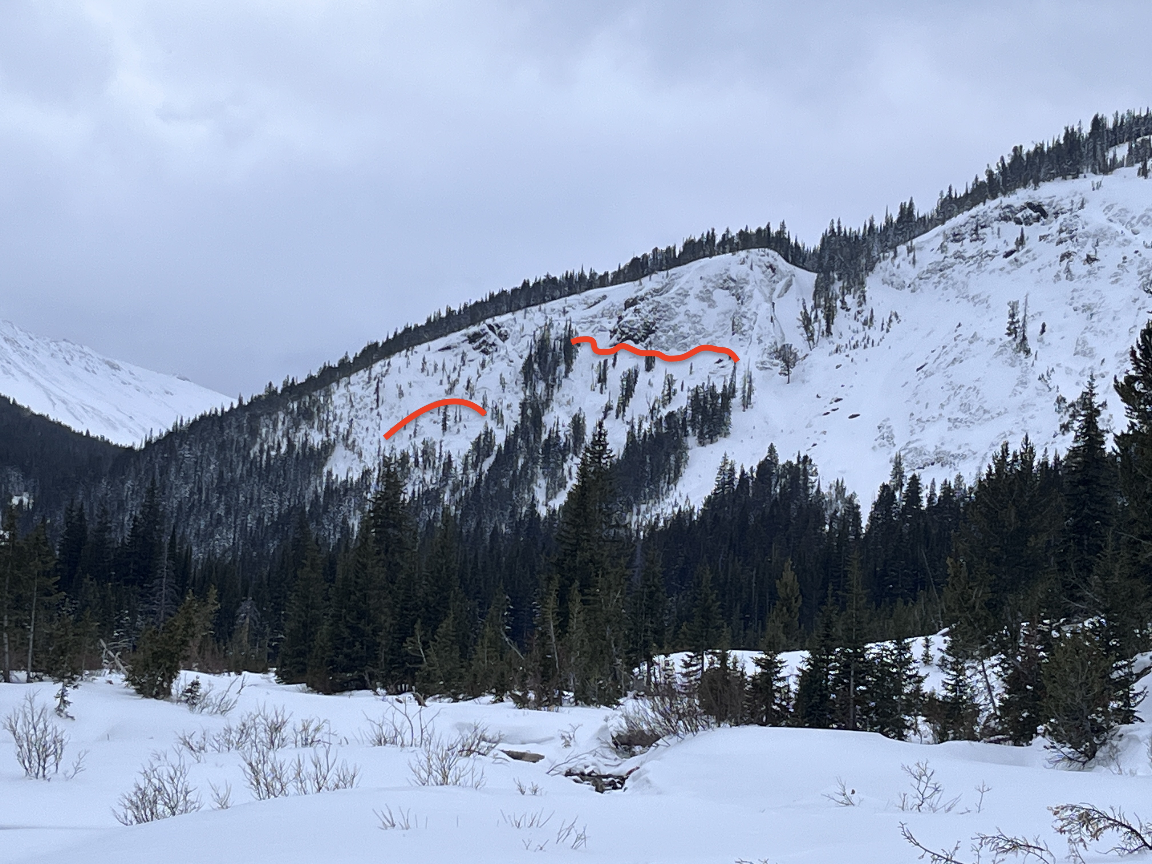
Full Snow Observation ReportNorth of Cooke City we observed numerous avalanches that likely happened last night or early this morning as snowfall stopped. Partly cloudy skies gave us a good view of the terrain and ridgelines. In the Fisher Creek drainage, we saw multiple natural avalanches on the east side of Henderson Moutain, including just south of Henderson Mountain off the Lulu Pass Road. At the back of the drainage, we saw another avalanche on the shoulder of Scotch Bonnet Moutain. Crown depths ranged in size but from afar seemed to be 1-2' deep. Several of these avalanches are wide and in sheltered terrain at mid-slope.
On the other side of Henderson Moutain in the Miller Creek drainage, we observed avalanches in the gully near the Daisy Pass road. Along the east side of the Miller Ridge, we saw large natural avalanches that happened just below the ridge line. On the south side of Crown Butte, the story didn't change with two large avalanches happening mid-slope, and near the summit. Again these crowns ranged in depth from 1-2' deep and deeper on the south side of Crown Butte.
On the west side of Henderson Moutain, we transitioned to skis and began ascending a low-angle slope toward a known avalanche path. Along the way, we experienced several collapses. Halfway up the slope, Ian noted snowballs rolling down the hill and around the corner, we could see the debris that had come from the steep terrain above. We had a clear view of this slope near the snowmobiles and it had not avalanched when we began ascending. At some point from several hundred feet away, we remotely triggered the slope. The avalanche was ~150' wide, 2' deep and ran almost to the road. Across the gully, we could see large cracks but the slope did not avalanche. Above, cracking and collapsing continued and we got a view into the upper part of the gully and saw another crown of an avalanche that likely happened at the same time as the slope below.
Roads that were groomed last night and by 9 am had wind drifts that were a few feet in size. The snow has stopped but the wind remained blustery through the morning and into the afternoon. Getting on or under steep terrain today was certainly not in our travel plans, and it will remain that way at least through the weekend.
More photos and video coming soon!
Full Snow Observation Report
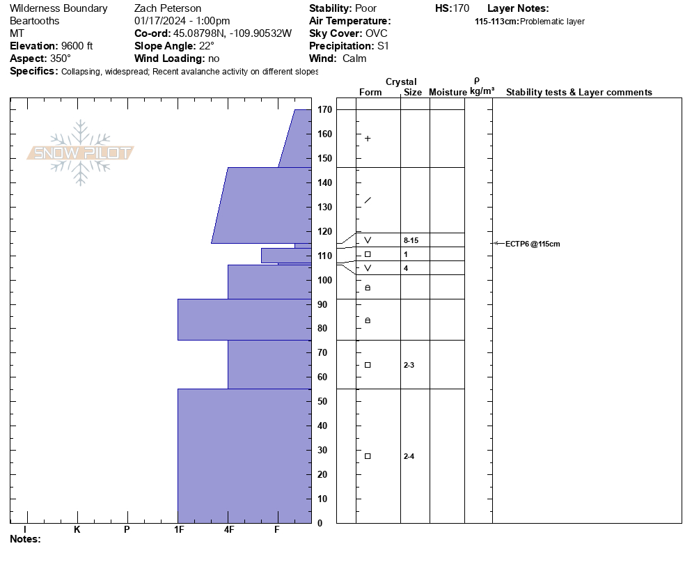
We rode to the bottom of an avalanche on Sheep Mountain that had been triggered by riders from the bottom. This avalanche happened on Monday, 01/14, but by today it had been filled in by recent winds and new snow. From here we worked our way north of Round Lake and found 10"-12" of new snow (0.5" SWE), compared to the 5" of new snow near Sheep Mountain. Near the wilderness boundary, we found unstable snow and while getting a snowmobile unstuck in the flats remotely triggered a small avalanche from 100' away. We then rode to a northern aspect at 9600' and found 170 cm of snow and had poor results in our stability tests, with an ECTP 6 on buried weak layers below the last week and a half of storms.
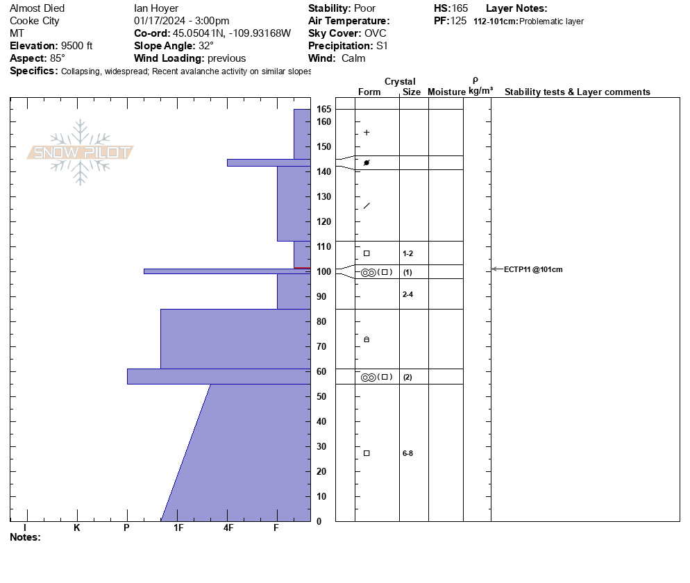
From here we rode to the top of Henderson Bench and dug on an east-facing slope at 9500'. While walking to our snowpit location we collapsed the slope and a small pocket of snow below a tree avalanched. Here we again had poor stability test results, ECTP 11, this area had previously been wind-loaded during last week's storm. Storm totals here were less than what we found north of Round Lake, with 5" of new snow at 3 pm (0.2" of SWE).
Wind through the day was calm but is expected to increase tonight. Snow will continue tonight into tomorrow morning. Expect danger to rise as snow totals increase and wind begins transporting snow.
From email: "We skied a 25 degree west slope today on Woody Ridge. No sign of instability. No wumphing or cracking. We all recognized the poor snow structure we were on and we pulled skins when the slope angle approached 30 deg. 5 degrees, at 100pm, light breeze.
HS 110-115 cm
new snow 30 cm. fairly cohesive but not bonded to old-variable
Layer of facets below new snow and above hard layer 60cm deep
Hard layer 10-15cm thick
facets below hard layer
The snowpack depth was variable. New snow not well bonded to old snow in places we climbed to 9550 and stopped as terrain got steeper"
Full Snow Observation Report

