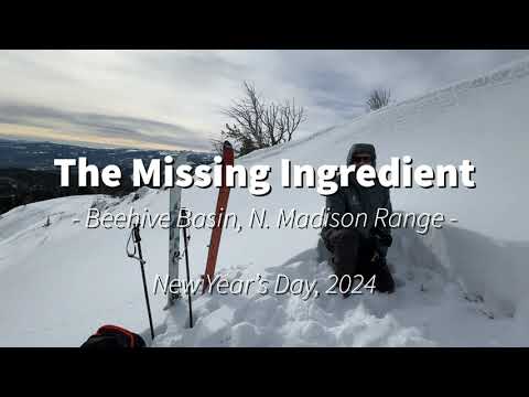
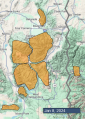
Advisory Archive
At 5 a.m. the Bridger Range has 11” of new snow. Hyalite, Cooke City, Lionhead and Island Park got 1-2”. Mountain temperatures are 0-5 F and wind is west to north at 10-15 mph with gusts of 25 mph. Another 2-3” of snow is expected by tomorrow morning with westerly wind blowing 10-20 mph. Tonight, temperatures will drop to -10 to -15 F.


In the last 24 hours, the mountains around Bozeman received 2” of snow, Big Sky received 4”, and in Cooke City, Lionhead and the Centennials, 6” fell. Wind has been strong out of the west to northwest with averages of 15-30 mph and gusts of 50 mph. Snow will continue today and tonight with 3-5” expected by tomorrow morning. Wind will decrease substantially to 10-20 mph by this afternoon. Temperatures are in the single digits F and will rise into the teens before dropping near zero tonight.
Mountain temperatures range from around 0 degrees F near West Yellowstone, Island Park, and Cooke City to the mid-teens F near Bozeman and Big Sky. Winds are 15-30 mph with gusts up to 55 mph from the southwest to northwest, and there is 1-2” of new snow in the Bridger Range and near West Yellowstone, Island Park, and Cooke City.
Today, temperatures will be in the teens to 20s F with 20-35 mph winds from the west to southwest. By tomorrow morning, the mountains around Island Park, West Yellowstone, and Cooke City will receive 5-10” of new snow, with 2-5” around Big Sky and Bozeman.


Yesterday the Bridger Range got 6-7” of low density snow with 1-3” elsewhere. Wind has been northwest-west at 5-15 mph with gusts to 20 mph, and overnight at Lionhead the wind increased to 20 mph with gusts to 35 mph for a few hours. Temperatures are single digits to low teens F this morning. Today, under mostly clear skies, temperatures will reach mid-teens F and wind will increase to 10-25 mph from the west-northwest. The next round of snow should arrive overnight with 1-2” possible by early morning and 3-5” possible through tomorrow.

At 5 a.m. the mountains near West Yellowstone and Island Park have 6-9” of low density new snow with 1-2” near Bozeman, Big Sky and Cooke City. Yesterday wind was out of the southwest at 15-20 mph with gusts of 35-45 mph, and today wind has decreased to 5-15 mph. Temperatures are single digits to teens F this morning. Today temperatures will reach teens to low 20s F and wind will be from northwest-northeast at 5-15 mph. Snow showers today could drop 3-5” near Bozeman with 1-3” elsewhere.

A trace to 2” of very light snow fell as snowfall ended yesterday morning. Temperatures dropped down into the single digits and low teens F overnight and will rise into the teens and 20s F today. Winds are westerly at 15-25 mph with gusts of 30-35 mph. Winds will shift a bit more southwesterly today and potentially increase in speed a little. Snowfall will begin this afternoon in the southern portions of the advisory area, becoming more widespread overnight. By tomorrow morning generally expect 1-2” of new snow with possibly a few more inches around West Yellowstone and Island Park.


There are 2 inches of new snow this morning around Bozeman and Big Sky and a trace to 1” across the rest of the advisory area. Winds are 10-20 mph out of the west and northwest with 20-30 mph gusts. Temperatures this morning are in the teens F and will rise into the 20s today. Winds will remain moderate and westerly. Another 2-4” will fall around Big Sky and Bozeman before snowfall tapers off mid-day with a trace to 2” expected near West Yellowstone, Island Park and Cooke City.

At 5 a.m. mountain temperatures are 15F and wind is west to northwest at 5-15 mph, gusting to 26 mph. Today will be cloudy, temperatures will rise into the mid 20s F and wind will remain moderate out of the west to northwest. Snowfall will start in the predawn hours tomorrow and by 5 a.m. West Yellowstone and Island Park will have 1” of snow with a trace everywhere else. Tomorrow looks to be snowy-ish. Fingers are crossed!


At 5 a.m. mountain temperatures are 15F and wind is southwest at 15-20 mph with gusts of 35 mph. Today will be partly cloudy and mountain temperatures will rise into the high 20s F as wind continues from the southwest at 15-20 mph. A strong high pressure system is creating dry conditions, but by the weekend snow is expected.