
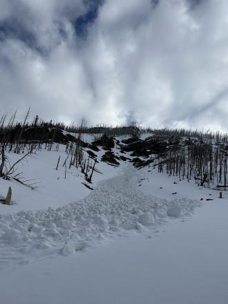
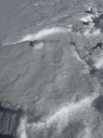
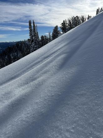
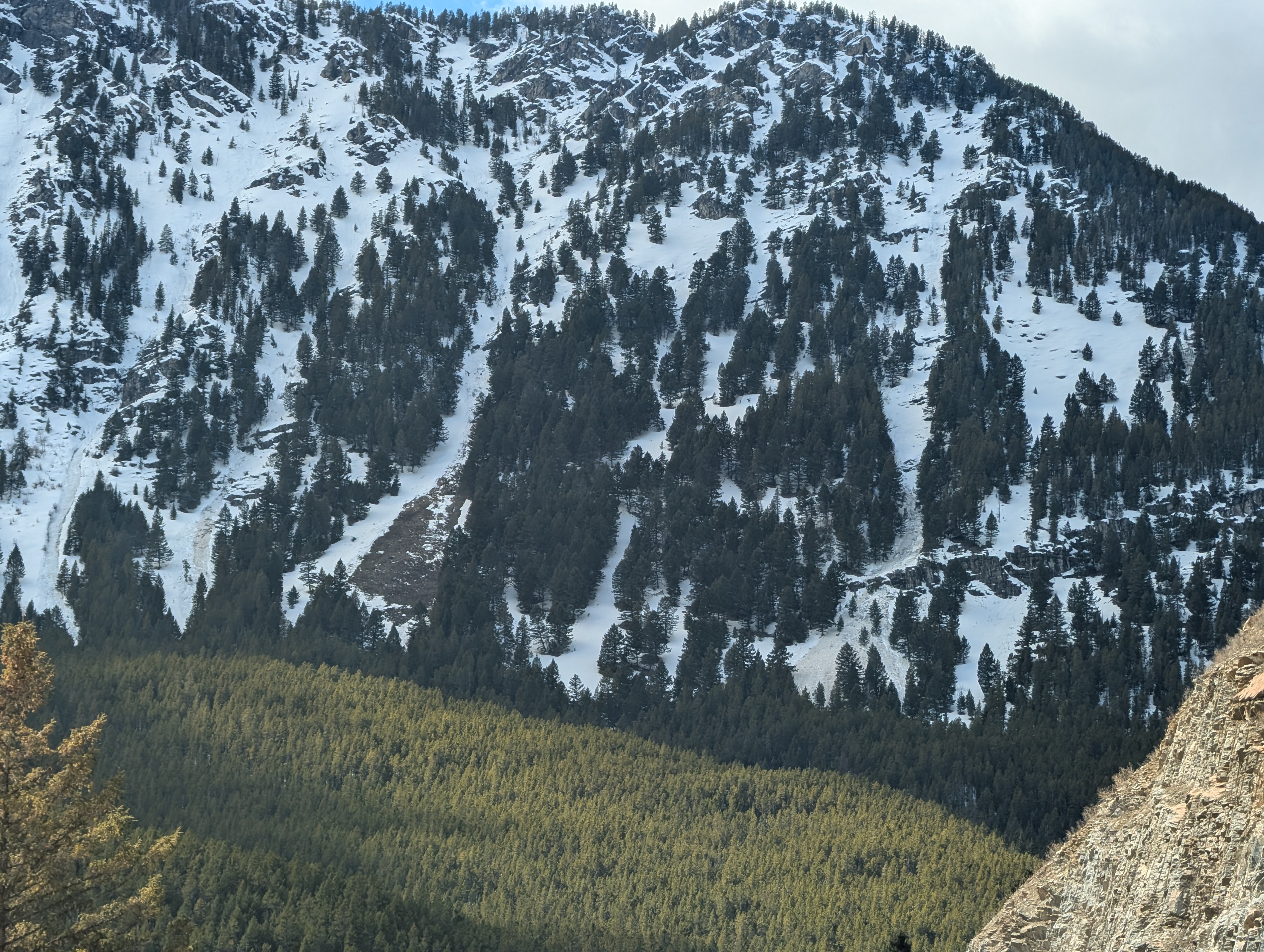
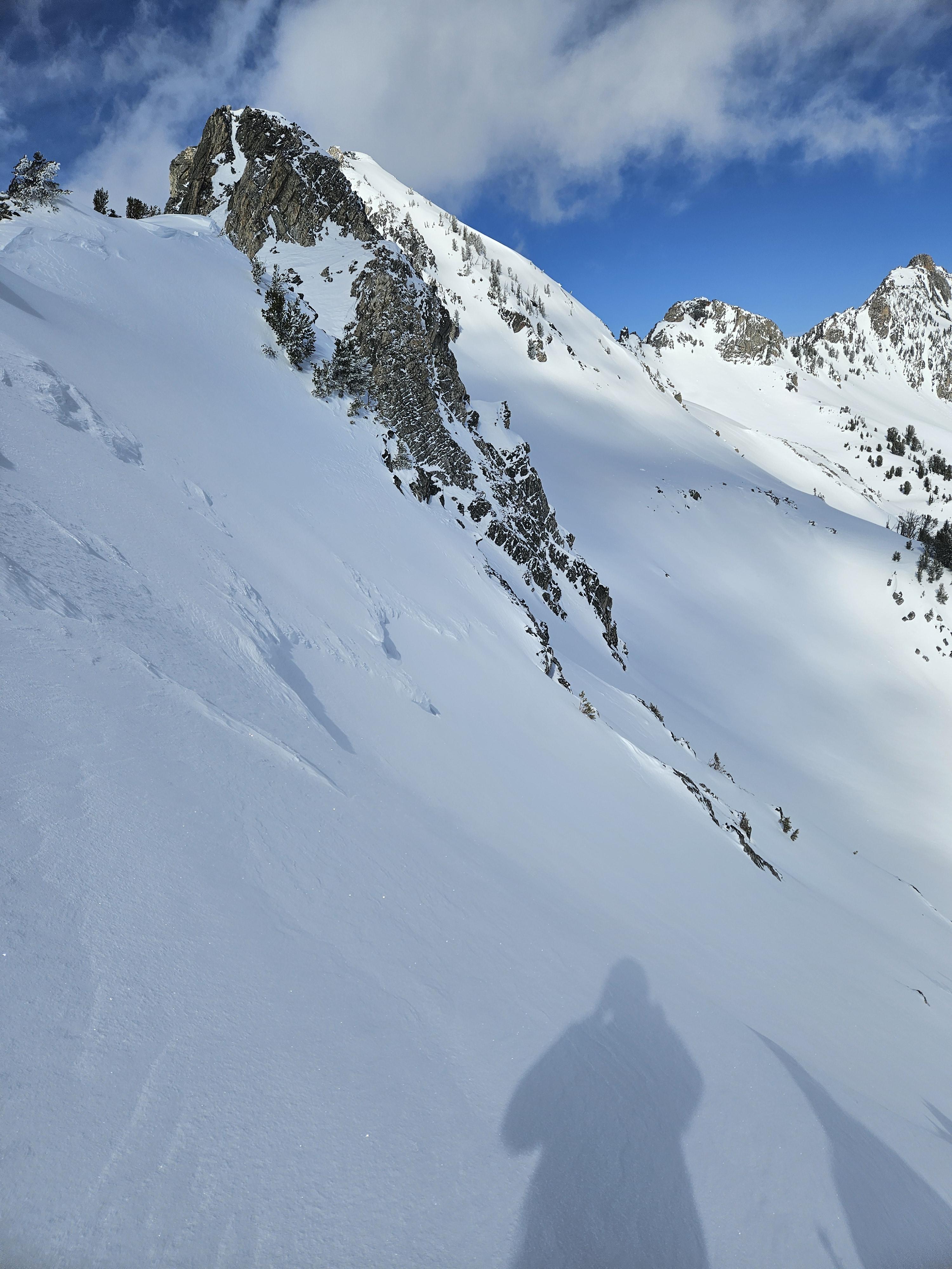
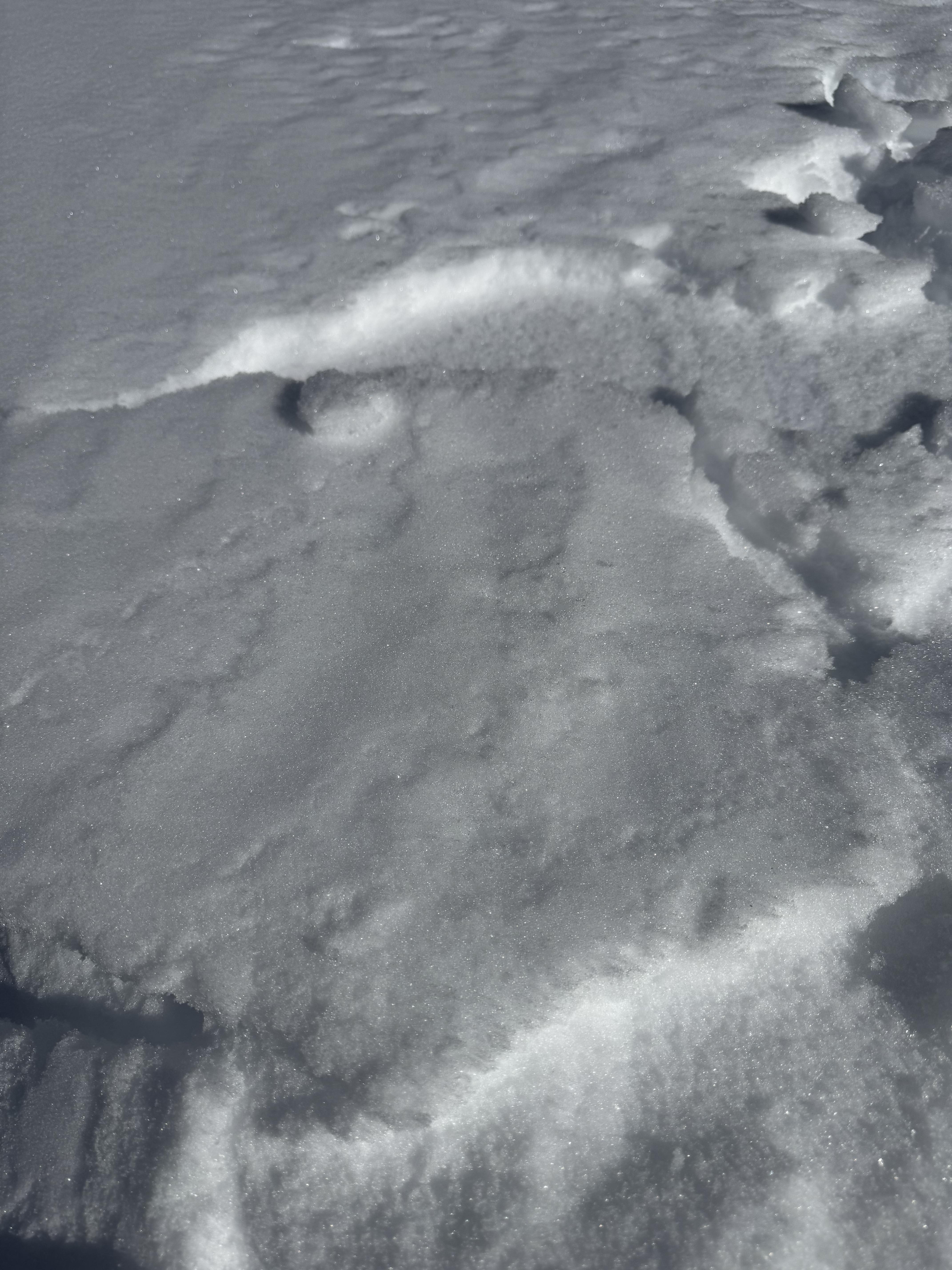
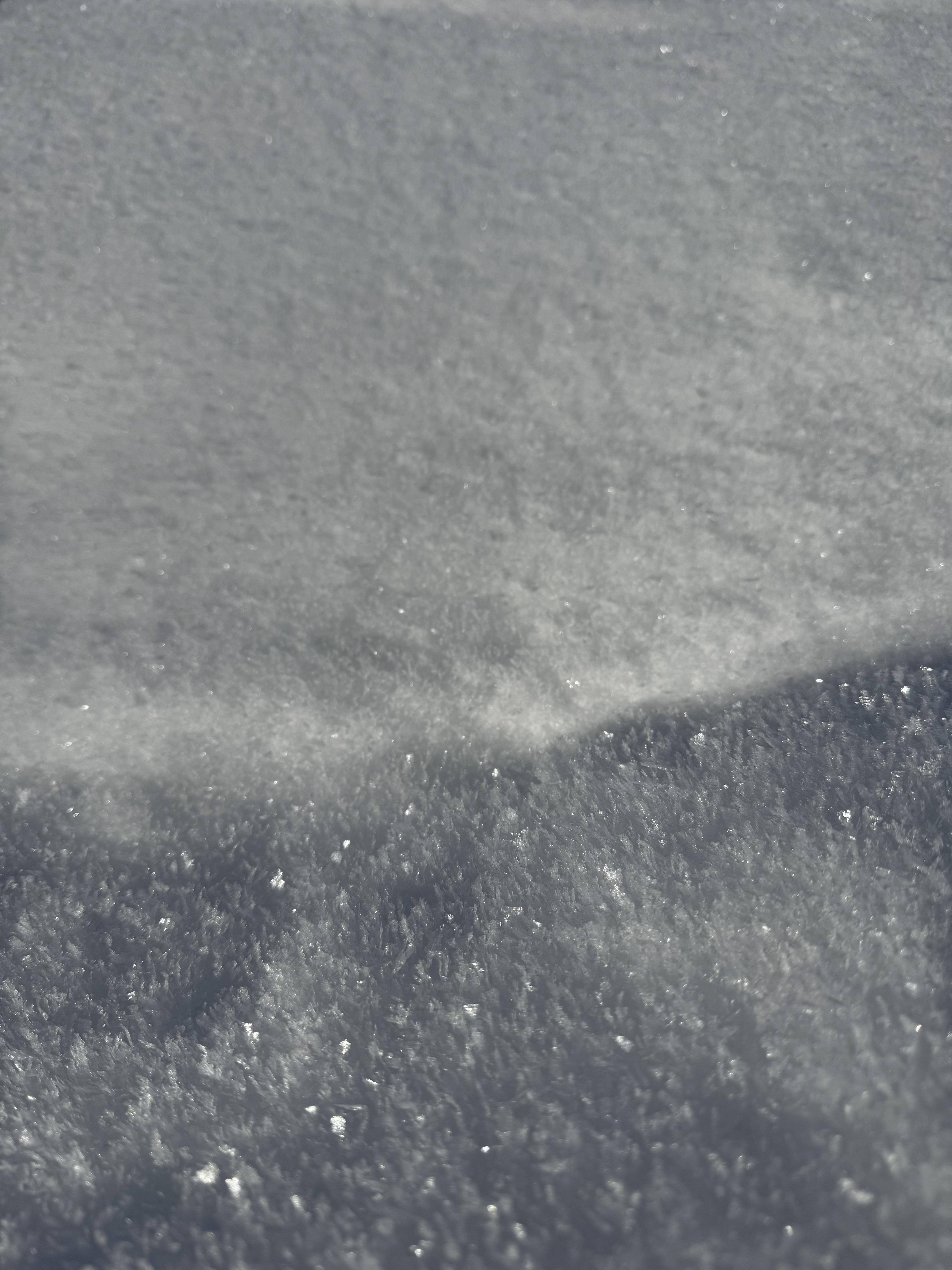
This wet loose avalanche is a great example of where they often occur. Rocks absorb extra heat from the sun and can quickly melt and destabilize the snow. Either move under areas like this early in the morning (as we did), or if you have to travel under them later in the day, move quickly.
Trip Planning for Northern Madison

Primary Problem: None
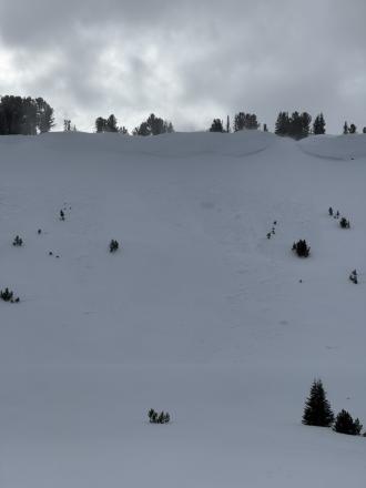
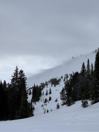
Bottom Line: Spring weather can be highly variable and create a mix of avalanche problems to watch out for. Snow conditions and snow stability can change drastically from day to day or hour to hour. Anticipate rapid change and plan accordingly. Plenty of snowfall over the winter with more spring snow to come makes avalanches possible into summer.Past 5 Days
Mon Apr 21

None
None
Fri Apr 25
None
None
Mon Apr 28
None
None
Fri May 2
None
None
Mon May 5
None
None
Relevant Photos
Displaying 1 - 40
-
-
-
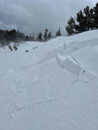
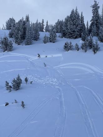
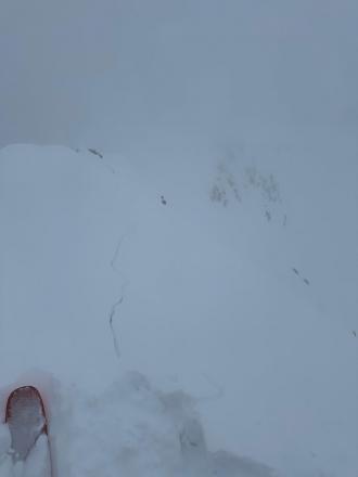
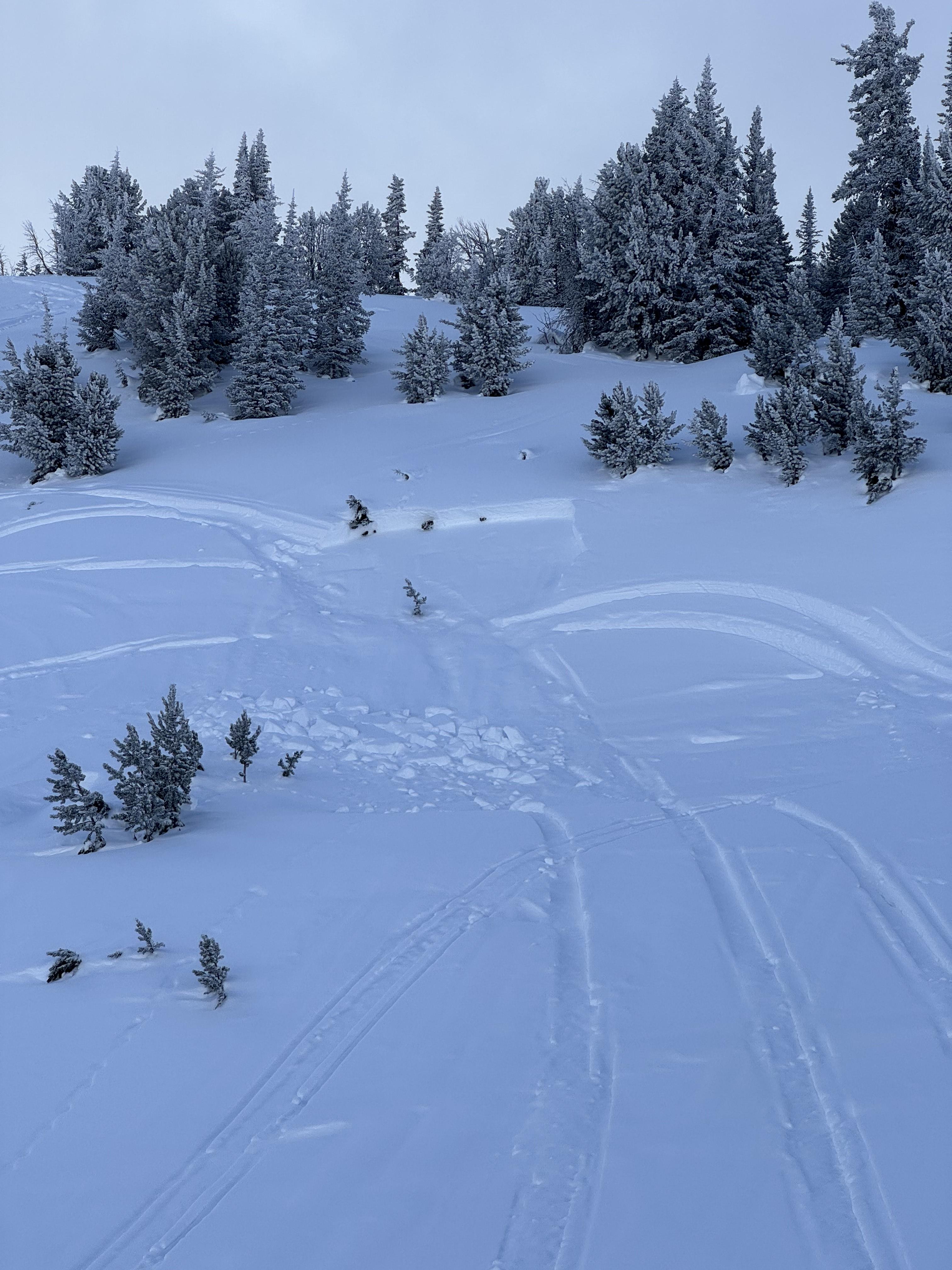
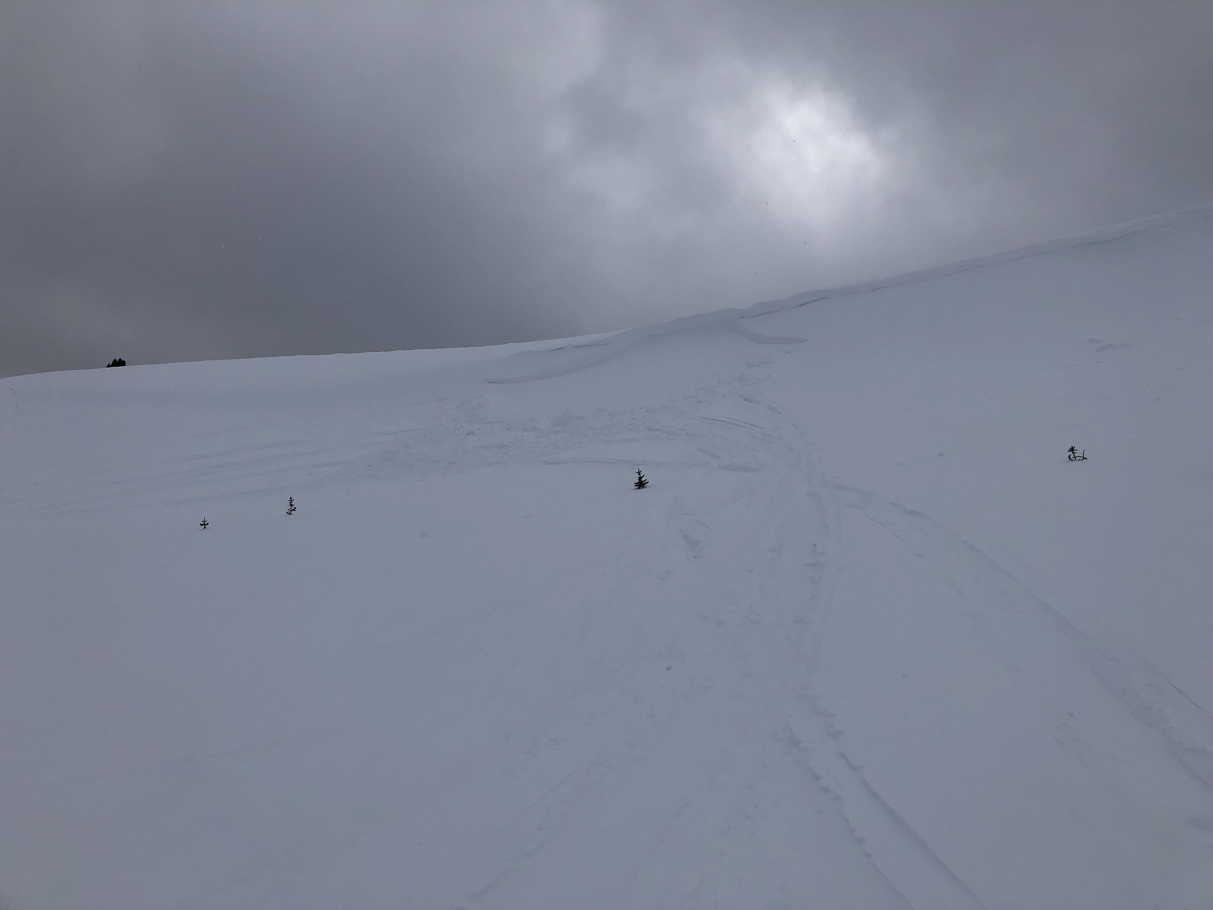
The slope at the my skis broke about 15-20 meters wide and 15 cm deep at the flanks to 40cm deep in the gut, SS-ASu-R1-D1.5-I-M(L)-TK. About 30 meters downhill, the slab rode up onto the new snow and ran out of momentum before reaching the runout. Photo: J Negri
-

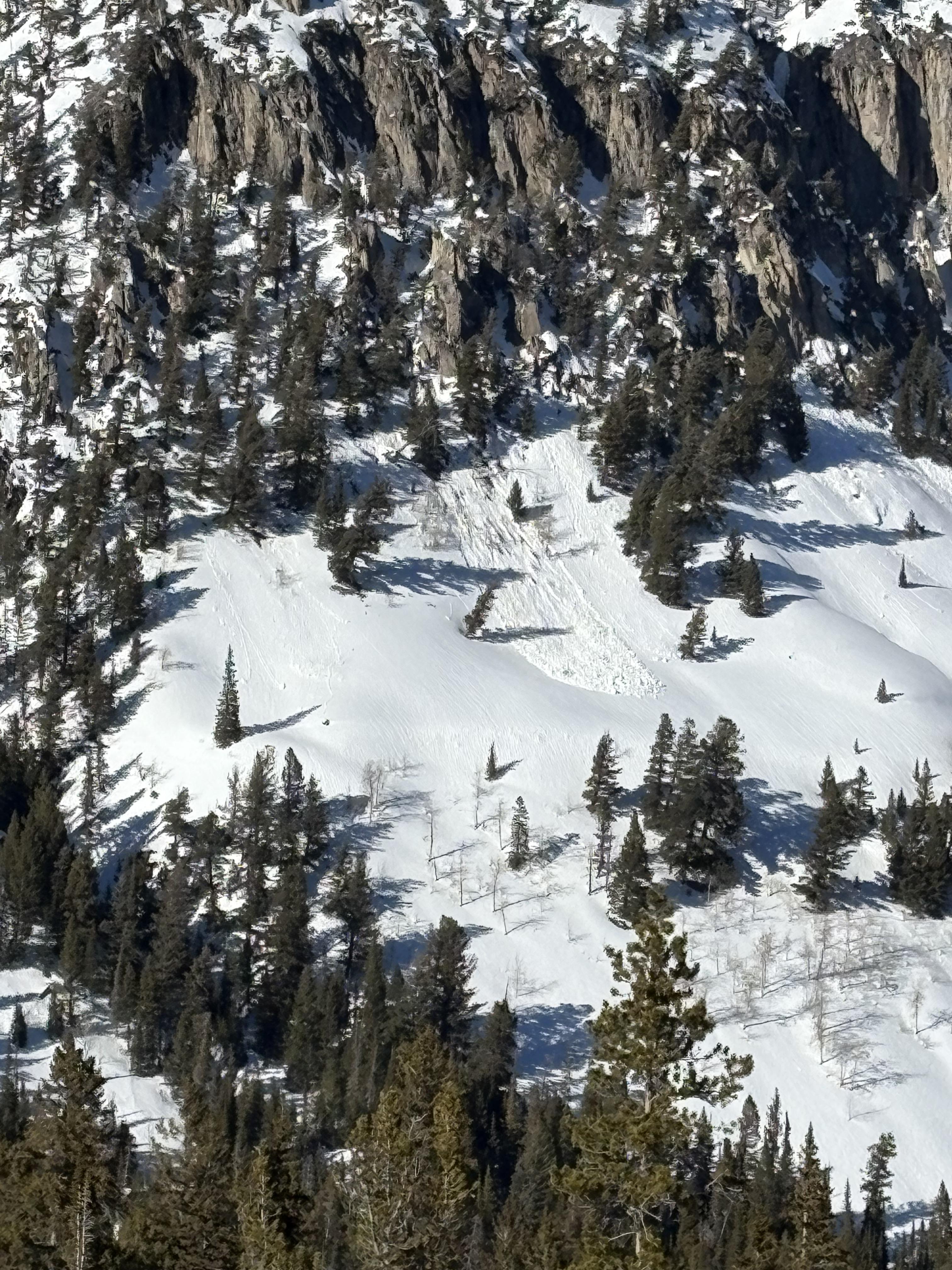
In Gallatin Canyon we saw some wet slides in the chutes/gullies south of Lava Lake. Photo: USFS Snow Rangers
-

Understanding Avalanche Safety Preparedness – 5-Minute Survey for Motorized Users
We need your input! Eastern Oregon University is conducting a survey to better understand avalanche safety preparedness among motorized backcountry users like you. Your feedback will help us learn more about who is purchasing and practicing with avalanche rescue gear (beacon, probe, shovel) and participating in avalanche education—and why some riders aren’t. The survey is confidential and anonymous.
Your feedback is invaluable in improving avalanche education and awareness. Please take a moment to share your experience and help us make a difference.
https://eoustmhs.qualtrics.com/jfe/form/SV_3L8QKAuZzcxJBLo
Thank you for your time and for being a part of this important effort!
-
On Mar 22 There was a small wind slab avalanche in McAtee (Photo) and a small wind slab in Beaver Creek. Photo: GNFAC
-
We triggered two small and shallow wind slabs that didn't go anywhere, but they were a warning of bigger wind slabs on bigger slopes
-
We triggerd two small and shallow wind slabs that didn't go anywhere but were a warning of what you could find on bigger slopes.
-

Came across a old slide in the hell roaring drainage heading towards Gallatin. East facing. Happened sometime before the recent snow but not long ago. Initial crown seemed to be 12-18 inches and stepped down further down the slope. Was a fairly large debris pile. Photo: S Knowles
-
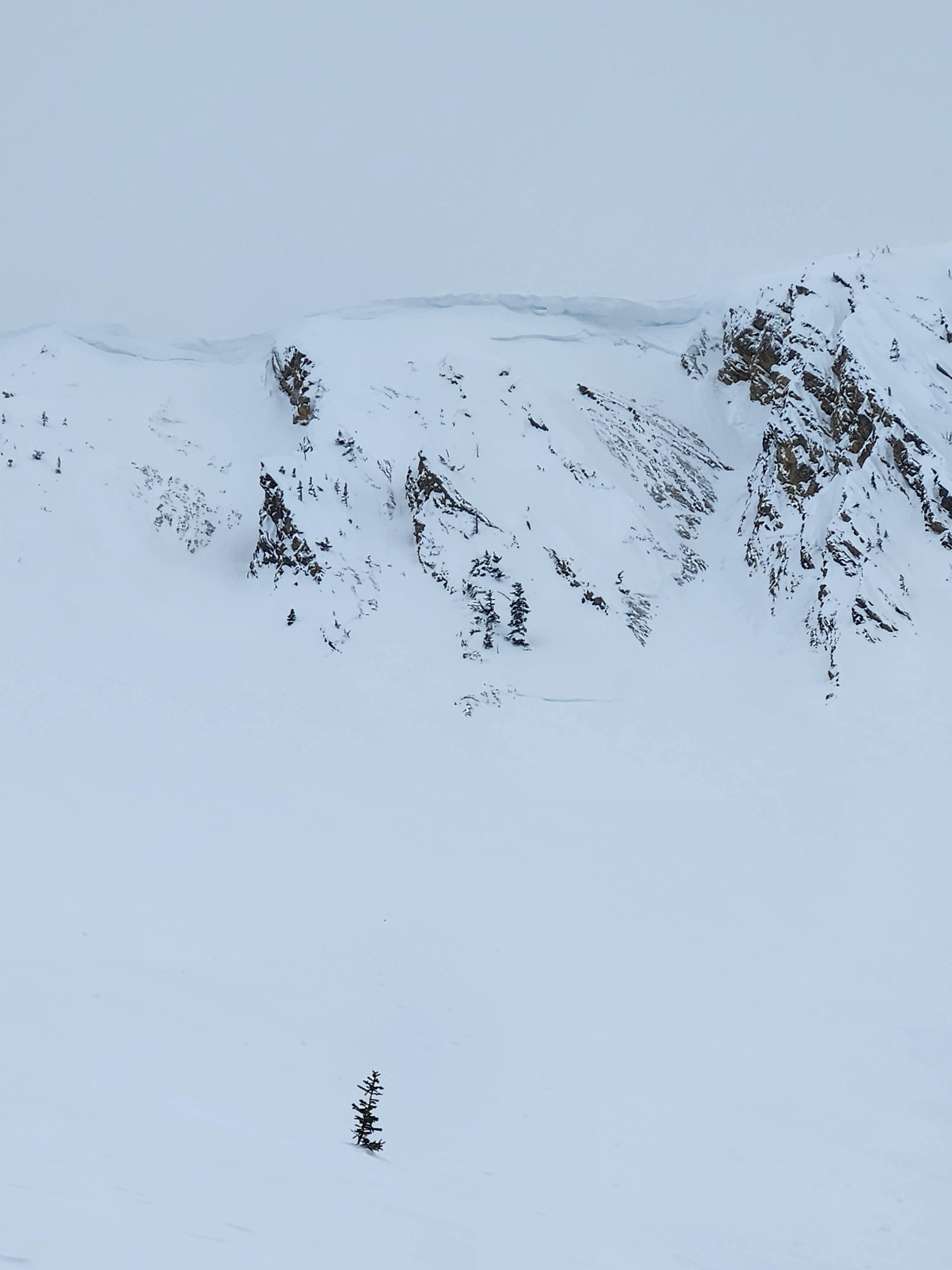
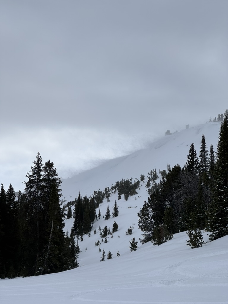
Old Avalanche spotted from Wilson yesterday looking North. Possible cornice fall trigger during the warm up but difficult to tell as it was quite a ways away. Photo attached. Photo: Anonymous
-
PWL avalanche (R3-D2), east-facing, deep in Muddy Creek. This was drifted in and likely broke around 2.5 weeks ago during the last significant storm cycle. Photo: GNFAC
-
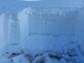
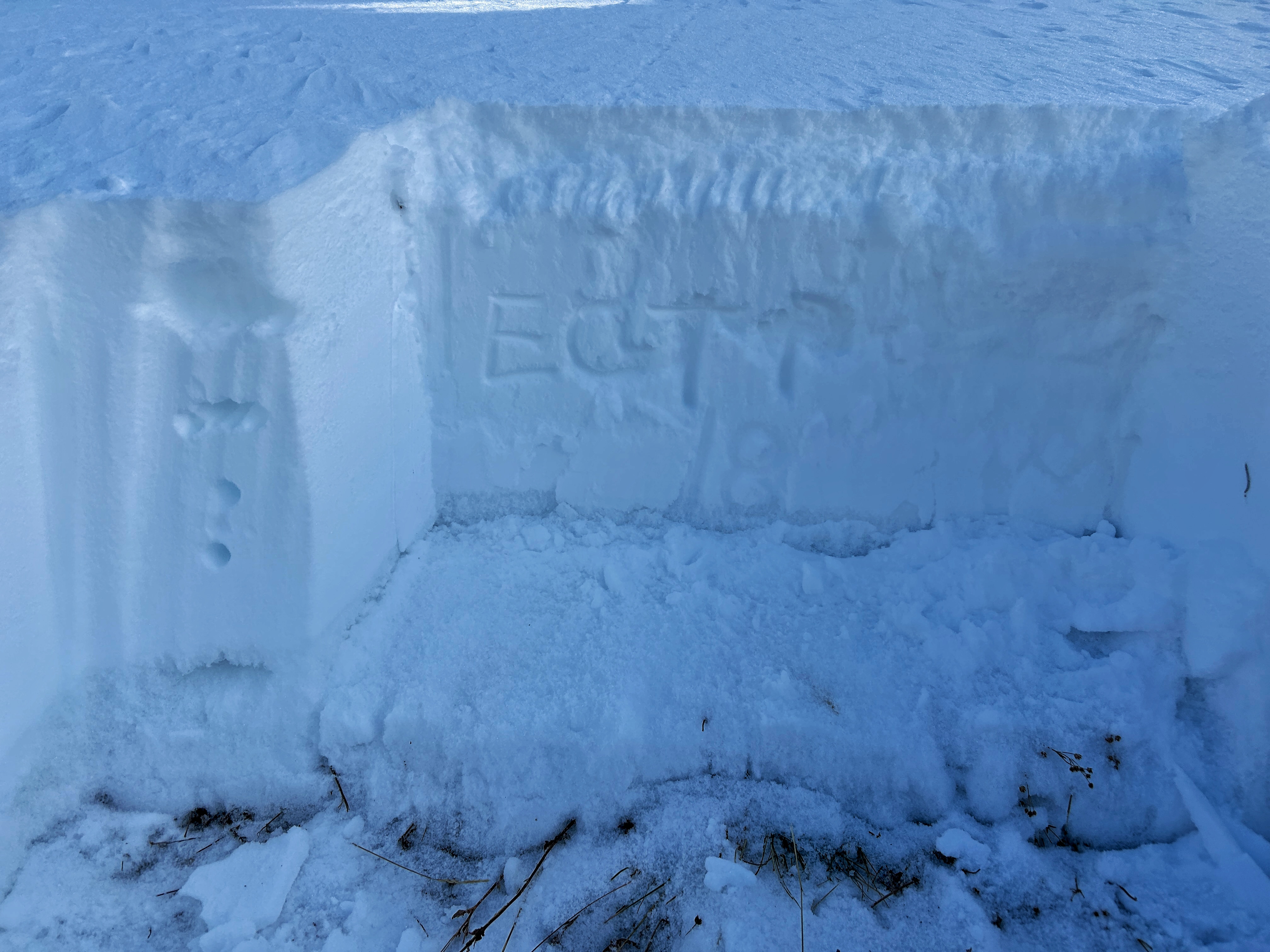
We dug a snowpit near the lower flank of the avalanche path and noted that these weak layers had gained strength over time. We did get propagation on a stout melt-freeze crust near the surface (ECTP5) but did not get propagation lower down on faceted grains. Photo: GNFAC
-
We saw a small north-facing avalanche in the First Yellow Mule (R1-D1) that was snowmobile triggered. It looked to be around a week old. Photo: GNFAC
-
Natural point release avalanche observed from the YC. Occurred out of bounds on the South side of Pioneer Mountain. Photo: YC Ski Patrol
-
From obs.: "Saw a recent cornice triggered wind slab off of Hardscrabble Peak, crown looked fairly fresh. There was a second crown line below the rock band. Conditions were very windy, with snow still being transported. Most snow surfaces were wind affected, but saw no cracking or collapsing." Photo: F. Miller
-
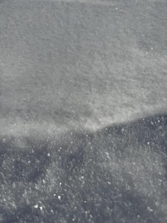
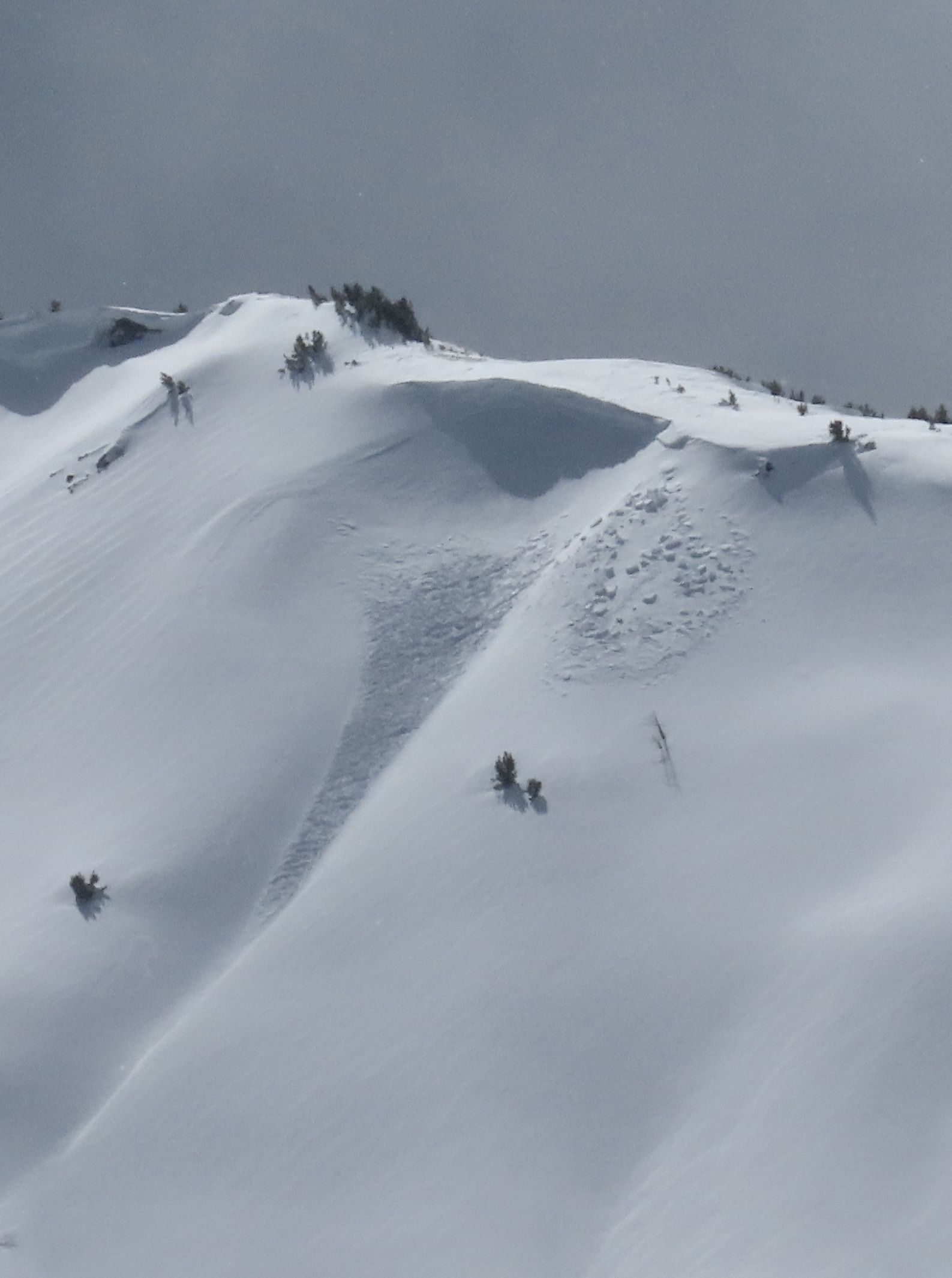
Cracking in the new and wind-drifted snow on the Ridge of Middle Basin. These resulted in a narrow avalanche that ran quite far.
-
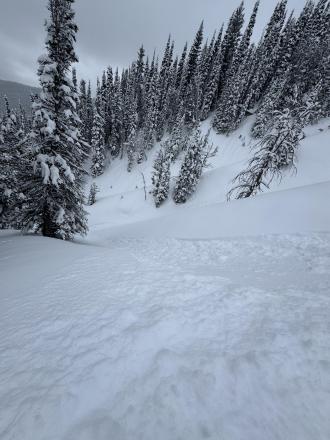
Photo: GNFAC
-
Buck Ridge, snowmobile triggered avalanche. Propagated in the storm slab. Photo: C Erhard
-
Swift Current lift shut down all day Wednesday 2/5/25 by ski patrol
-

On the headwall of the Second Yellow Mule, we saw two recent wind slab avalanches. These were small (R1 D1), immediately below the ridge, and likely broke late last night or this morning. Photo: GNFAC
-
On the headwall of the Second Yellow Mule, we saw two recent wind slab avalanches. These were small (R1 D1), immediately below the ridge, and likely broke late last night or this morning. Photo: GNFAC
-
Strong winds blew all day from the SW, sustaining 30mph at ridgelines. Snow was actively transported all day by winds, and plumes were visible on far away ridgelines and summits. Photo: GNFAC
-
This slab from my ski cut was about 20” deep and 60’ wide. It’s NE facing so pretty wind blown. Photo: S Budac
-
Cracking and isolated pockets of wind slab in Beehive.
-
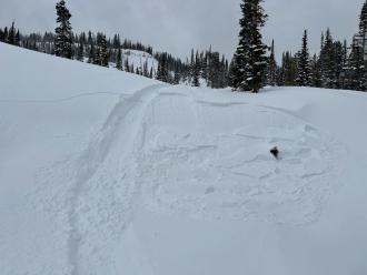
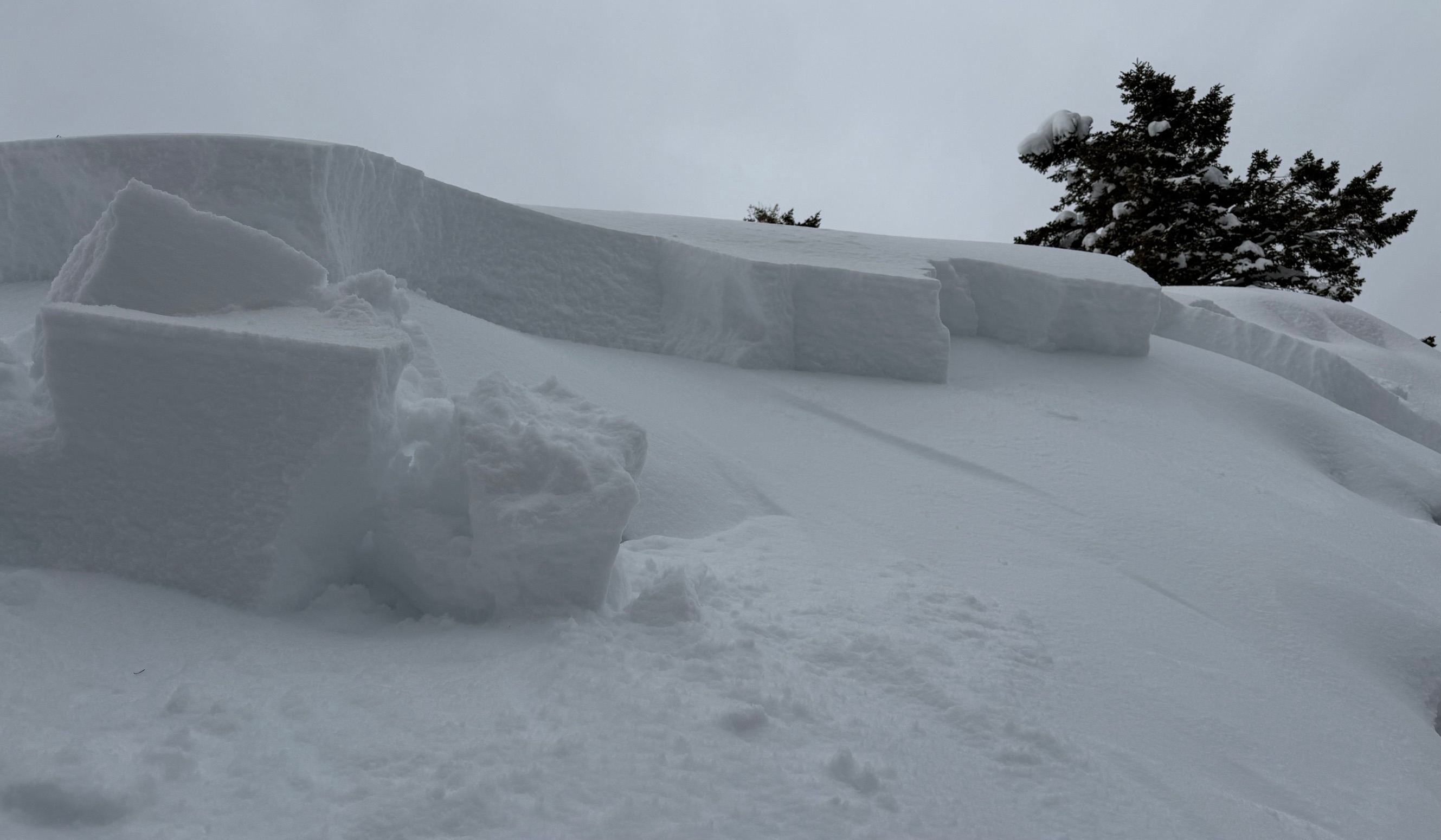
Human triggered release of cornice overhang near the weather station on Buck Ridge. Recent activity next to the small release. Crown 1-2’ deep, 40’ run, 75’ across running over the tracks riding underneath in the recent wind transported slab.
-
We also spotted a small, snowmobile triggered avalanche on a steep, east facing slope in Muddy Creek. Photo: USFS Snow Rangers
-
Saw this cool illustration of wind deposition, scouring and unaffected snow on a ridge line near the top of Bear Creek at the far end of Buck Ridge. Photo: USFS Snow Rangers
-
Photo: M R
-
The surface evolved throughout the day, so we must continue tracking its progression. We found surface hoar in the valley of Beehive, where inverted temperatures were the coldest, crusts with near-surface facets below, and some straight near-surface facet—recycled powder, along with thicker crust and wet snow. Photo: GNFAC
-
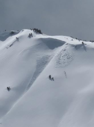
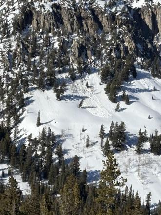
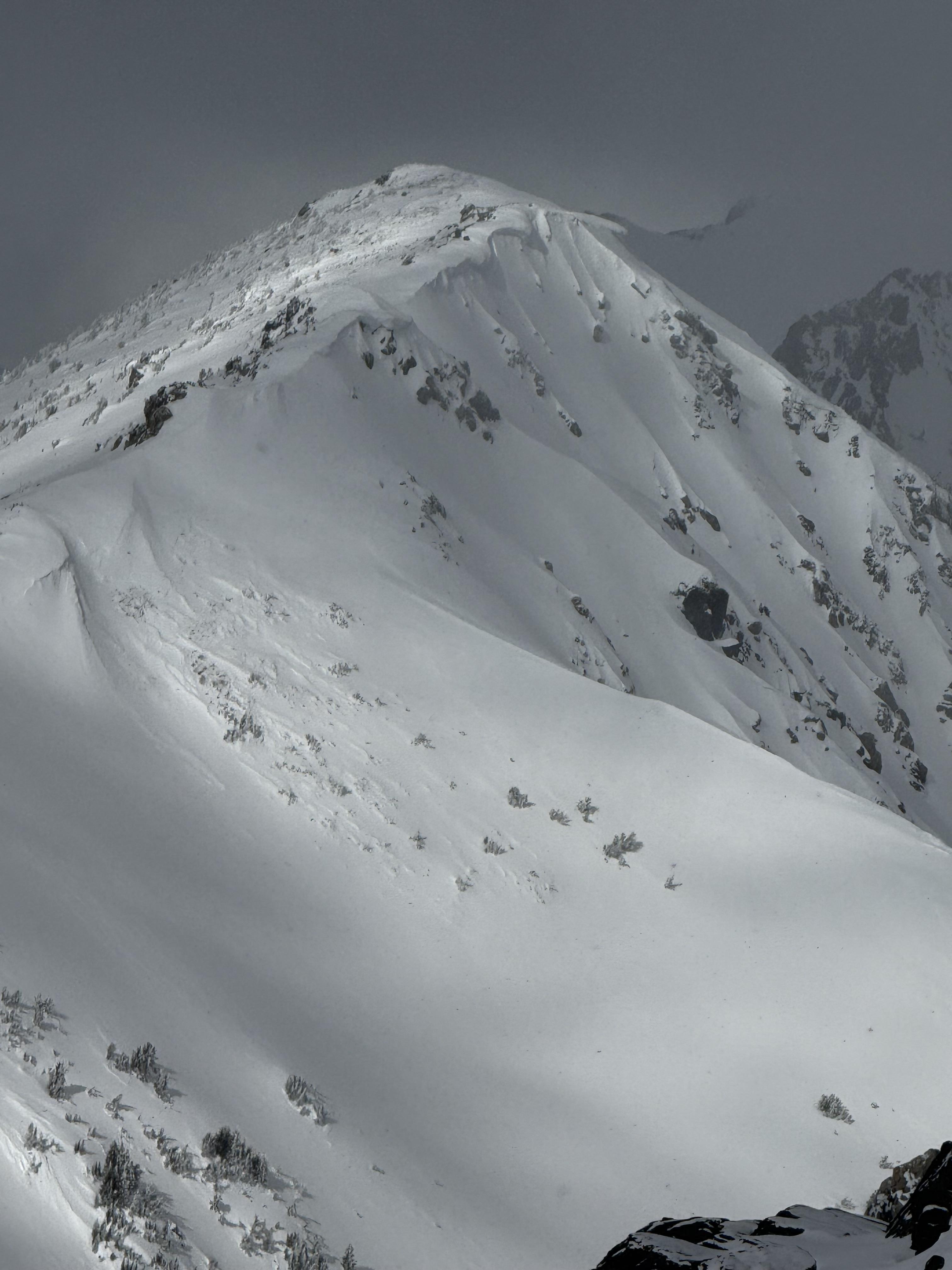
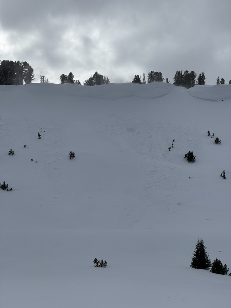
Recent avalanches noted on the NE-E aprons on cedar mountain. SS-N-R2-3-D2-I These appeared to have possibly happened during the last storm cycle and looked to be isolated to layers within the new old snow interface. I also noted similar activity on the same aspects on the adjacent ridge during our approach.
-
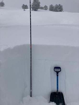
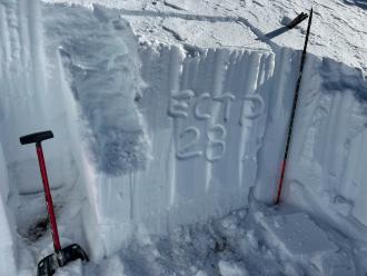
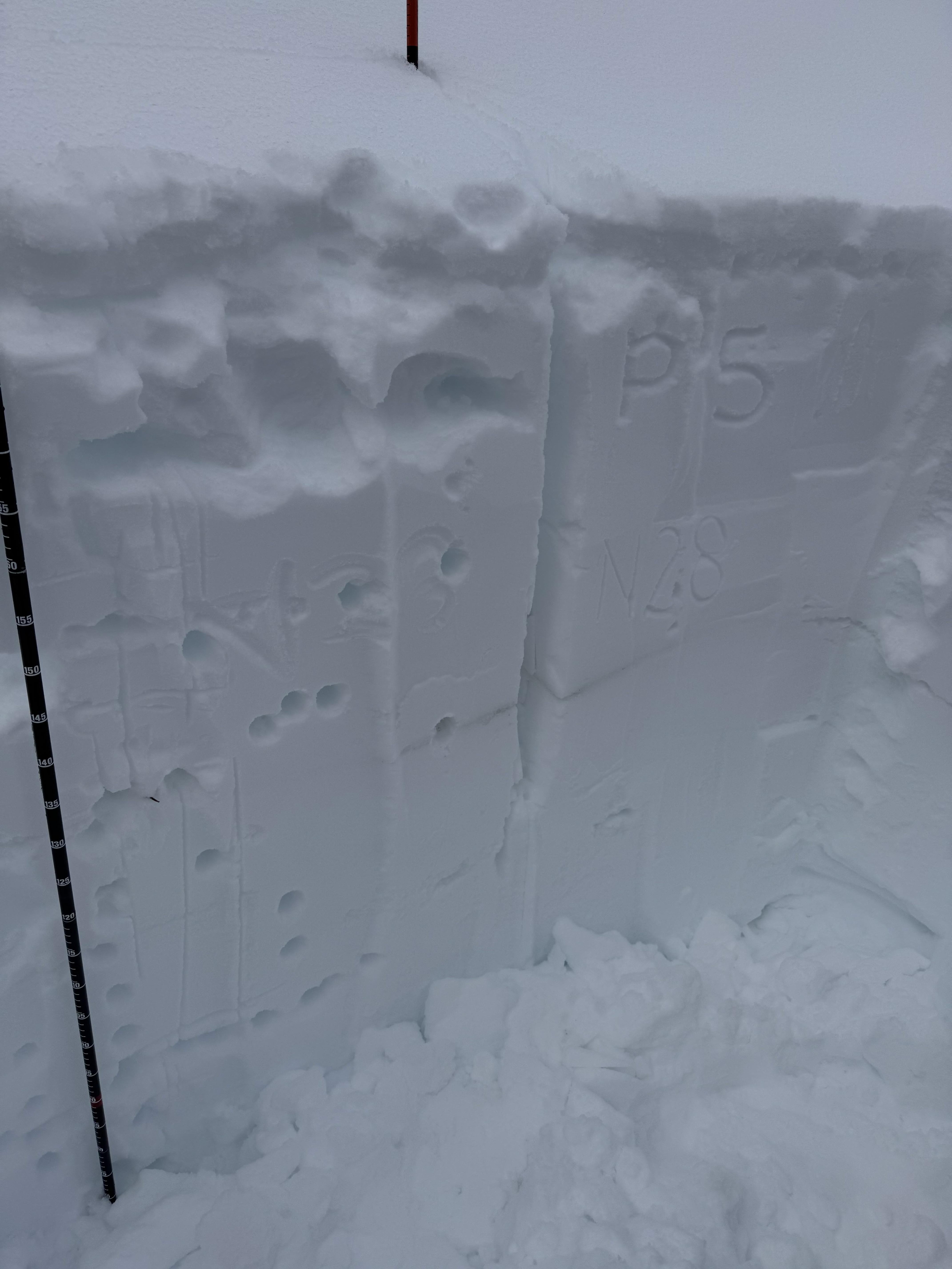
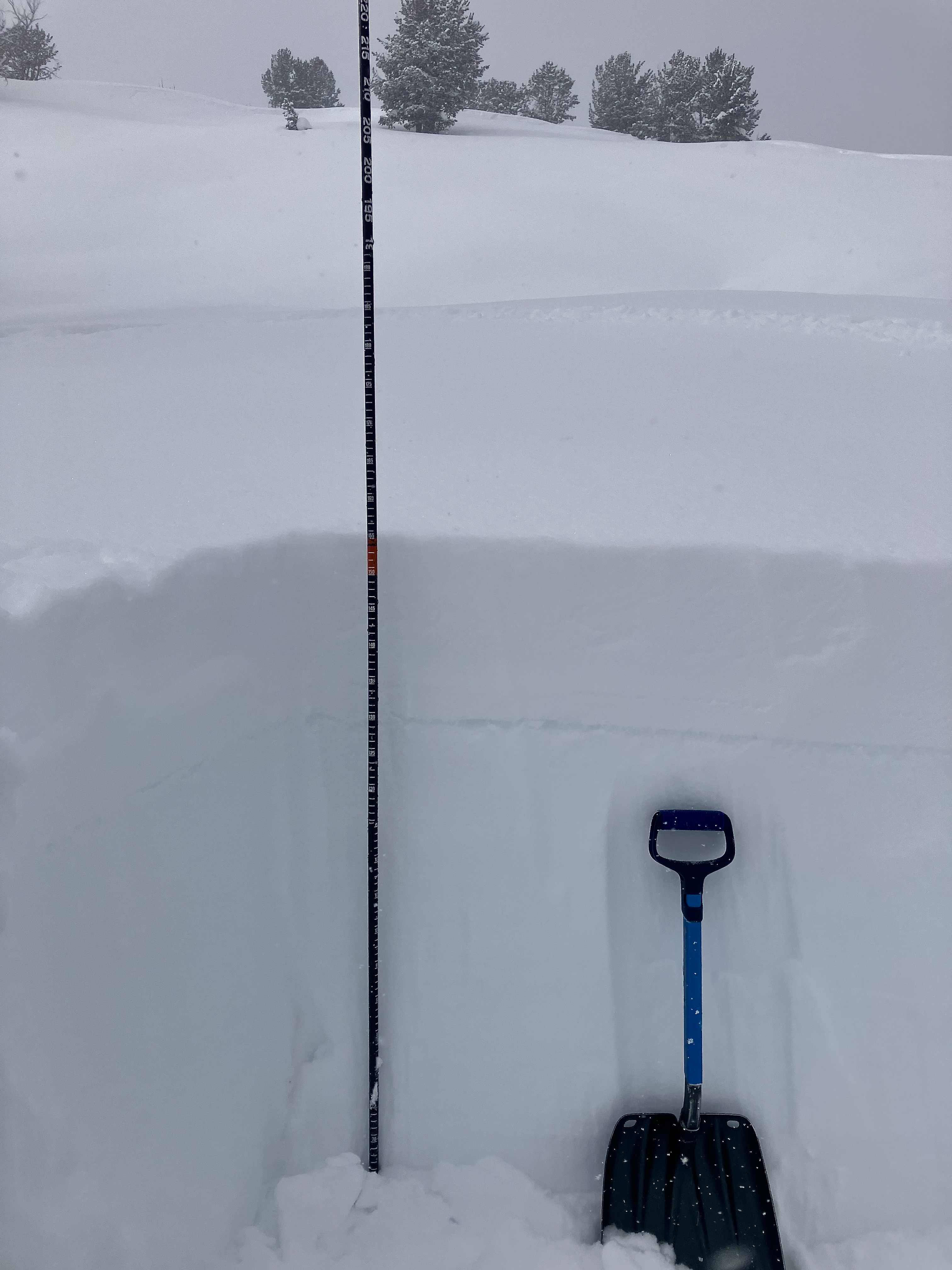
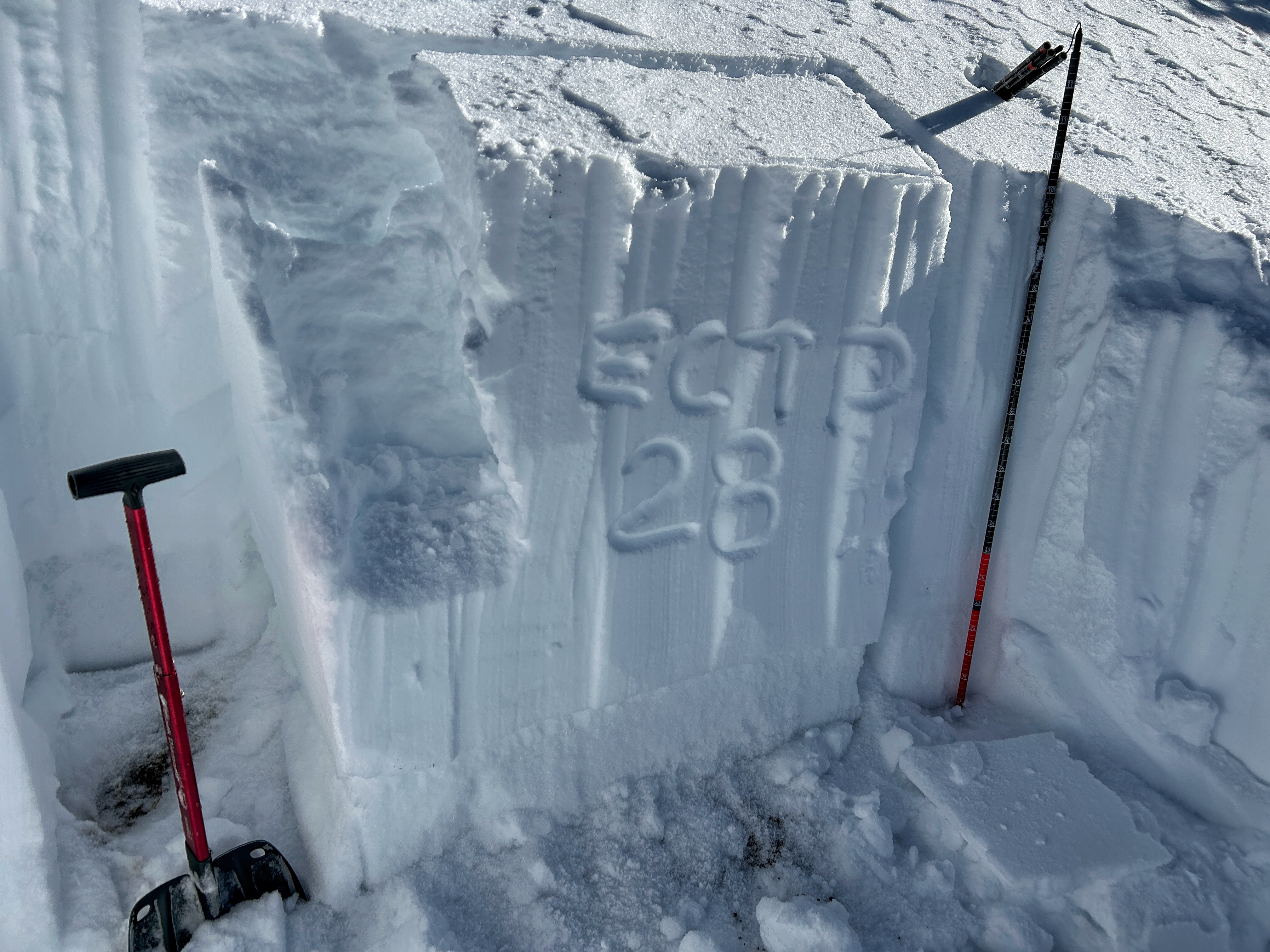
Jan 24, Buck Ridge... We dug on an E facing slope at 9,400'. Snow depth was 155cm (5 feet) and we had an ECTN12 on the surface hoar layer 10" down. Photo GNFAC
-

Large wind transport in Spanish peaks. Photo: T Blakeway
-
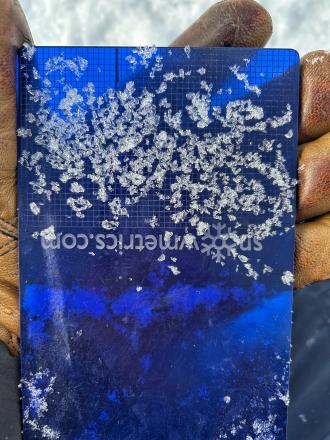
Surface hoar was on the snow surface today. It likely wont' survive to be buried. Sunshine on south aspects was already destroying it.
-
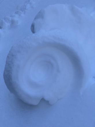
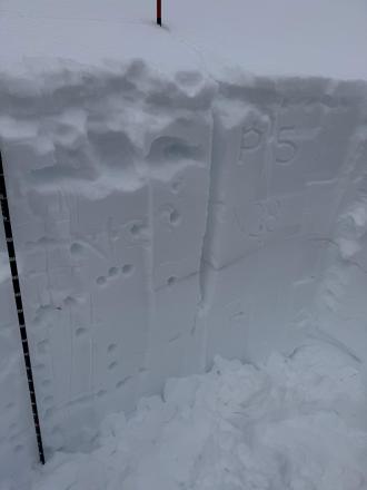
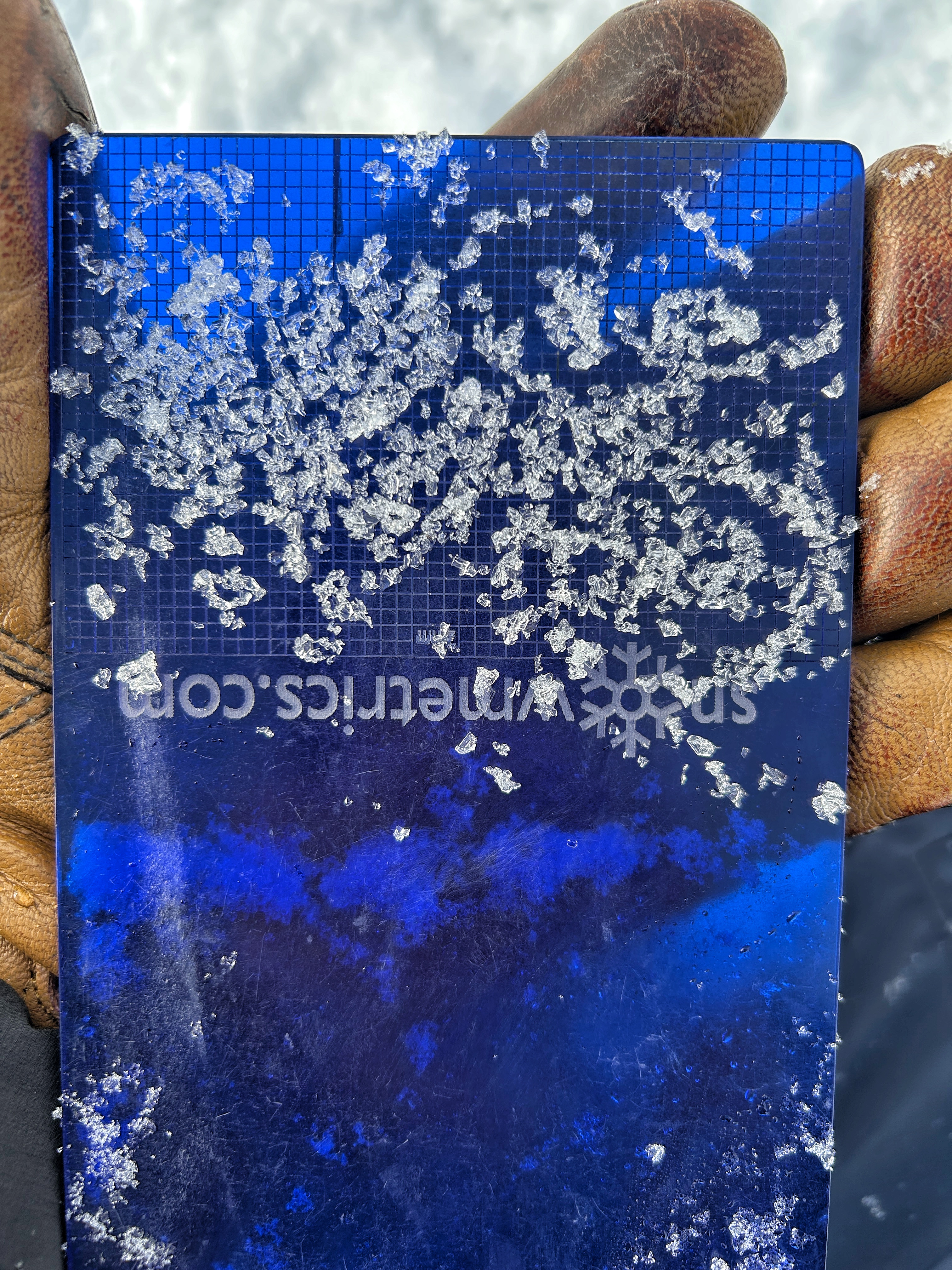
Snowpit and ECT result from small slope just above Beehive Creek at 8200 ft.
-
Facets in thinner snowpack areas are larger, weaker, and could possibly cause an avalnache
-
Snowpit from the top of Tyler's slope in Beehive Basin, W facing, 9200 ft. This is representative of an area with thin snow that is weaker
-
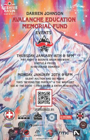
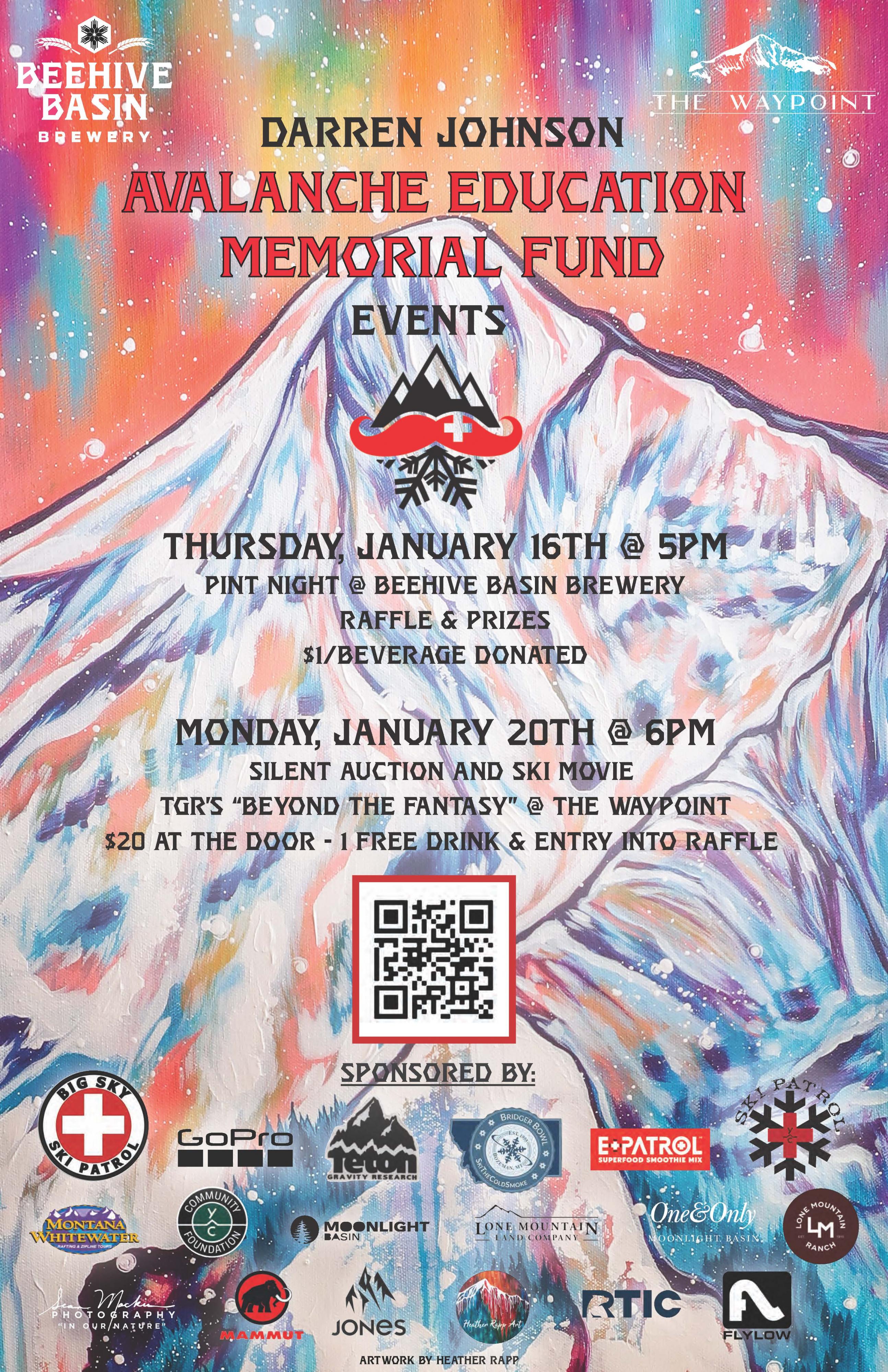
On Tuesday, January 19, 2016, a Yellowstone Club (YC) Ski Patroller triggered an avalanche on a wind-loaded slope which released on his second turn. The slide broke 2-4 feet deep, 300 feet wide and carried him through a terrain trap of thick trees. He was partially buried 300 vertical feet below in the toe of the debris. His partners reached him within three minutes, but the trauma was fatal.
The YCSP created a non-profit to remember their colleague and friend, Darren Johnson. And, to support ski patrollers across the country by providing scholarships for avalanche education and attendance at the National Avalanche School.
-
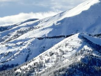
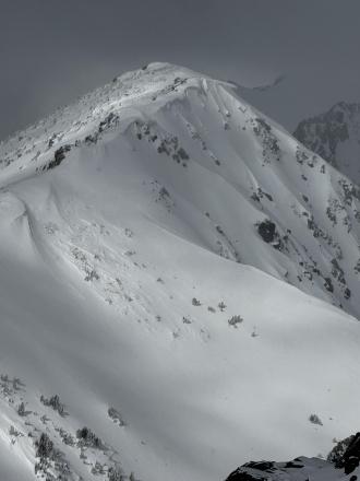
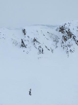
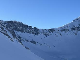
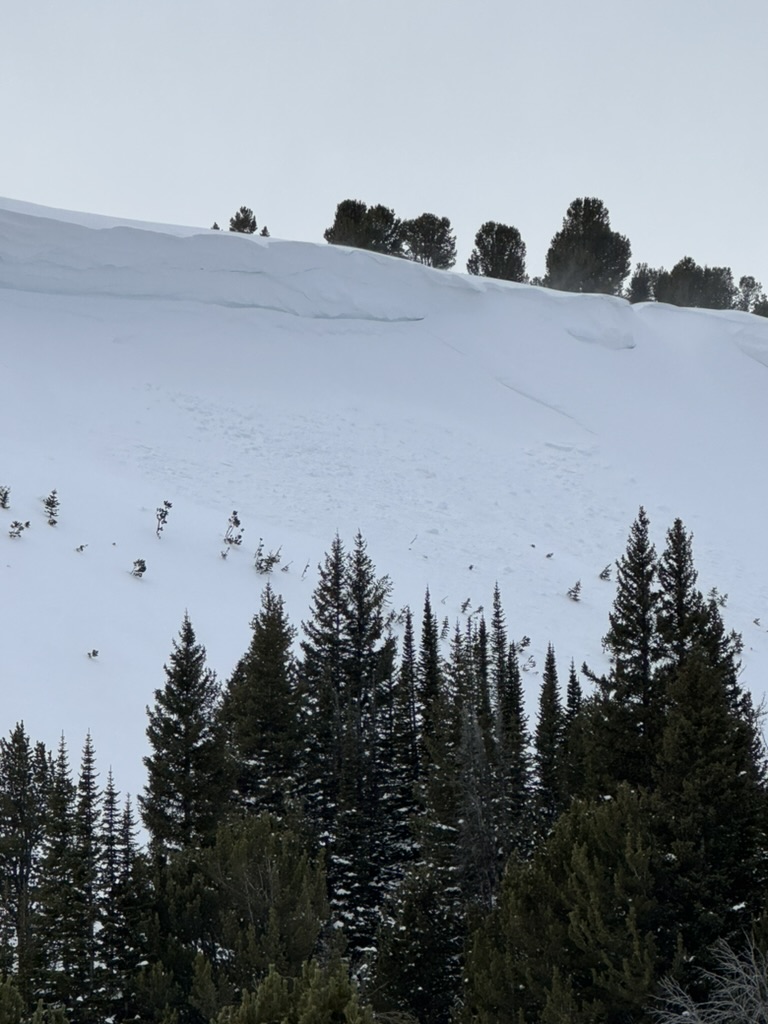
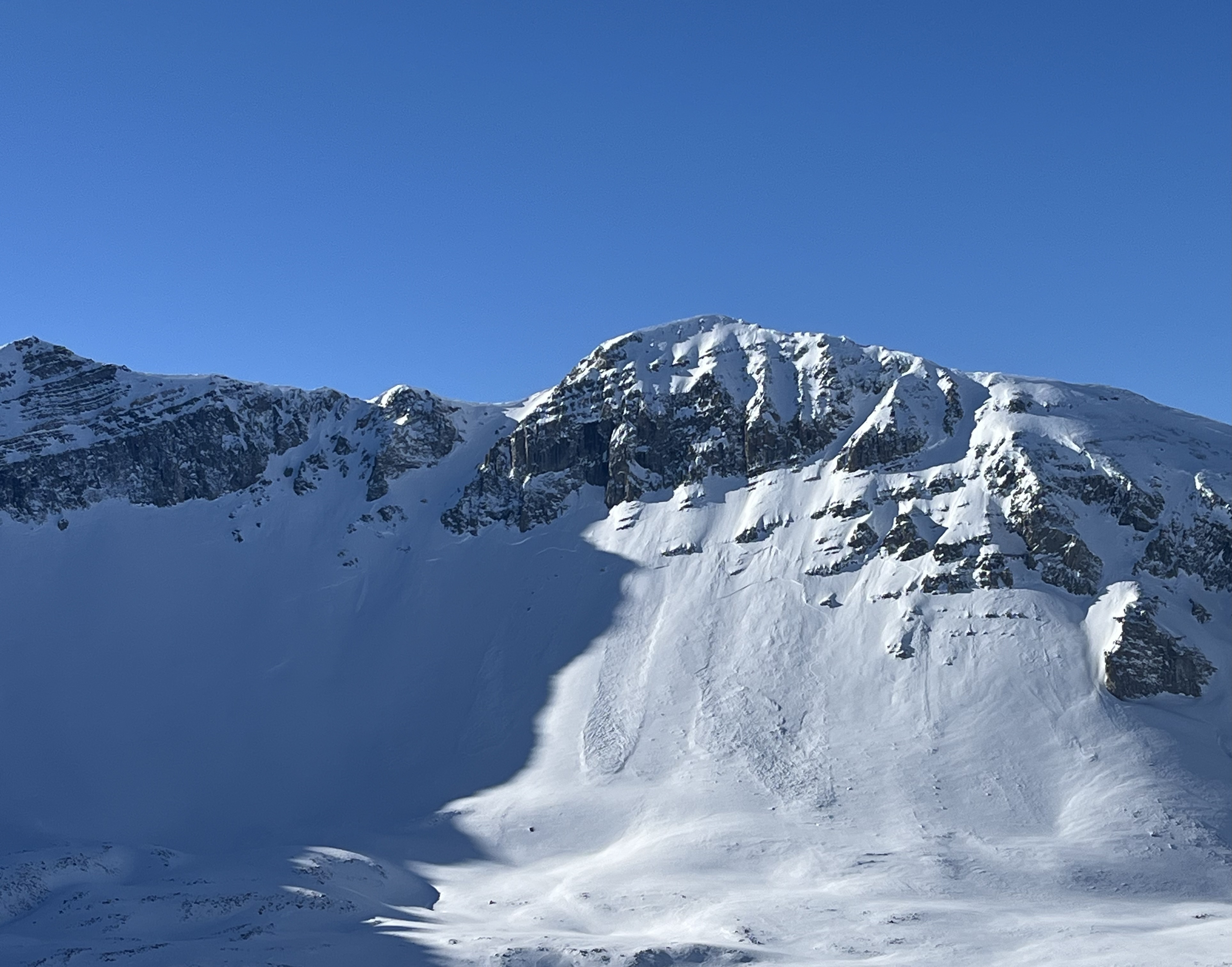
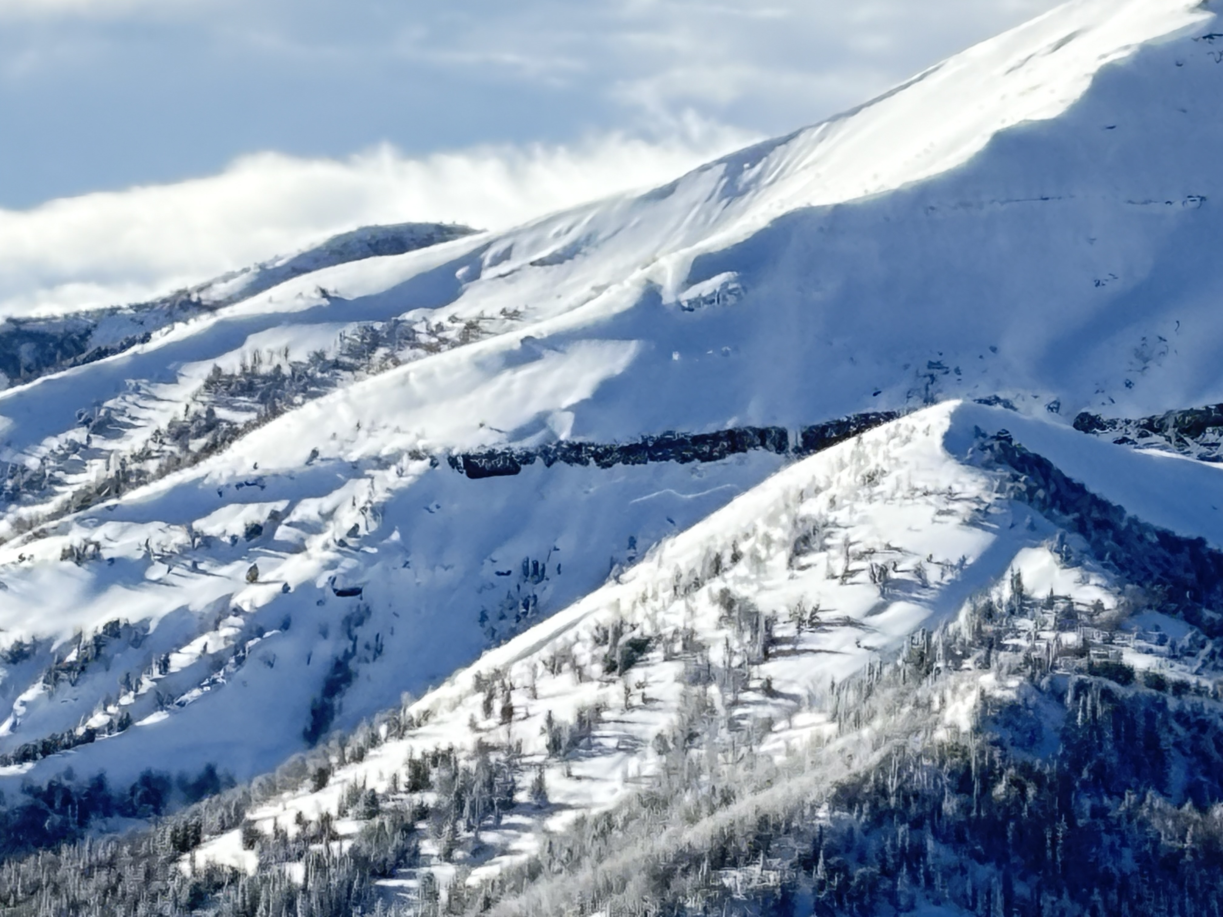
The Yellowstone Club Ski Patrol noted multiple large avalanches on different bowls and aspects of Cedar Mountain at approximately 9400 feet elevation. Photo: YCSP


Videos- Northern Madison
WebCams
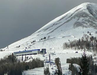
8800' Camera, Lone Peak view
Yellowstone Club, Timberline Chair
Weather Stations- Northern Madison
Weather Forecast Northern Madison
Extended Forecast for5 Miles NNW Big Sky MT
Overnight

Low: 50 °F
Partly Cloudy
Thursday
High: 67 °F
Partly Sunny
then Showers
LikelyThursday Night
Low: 47 °F
Chance
T-storms then
Mostly CloudyIndependence Day
High: 58 °F
Chance
Showers then
T-stormsFriday Night
Low: 40 °F
Showers
Likely then
Slight Chance
ShowersSaturday
High: 56 °F
Chance
Showers then
Showers
LikelySaturday Night
Low: 40 °F
Slight Chance
T-storms then
Mostly ClearSunday

High: 62 °F
Sunny
Sunday Night

Low: 43 °F
Mostly Clear
The Last Word
We ended our 35th winter in operation after 141 forecasts and ZERO avalanche fatalities, the second winter in a row with no avalanche deaths. The last time this happened was 1988 and 1989. It’s been an incredible season.
Thank you for all your support! Our success is directly related to support from our community and the Forest Service. Thanks to the readers of the forecast, everyone that sent in observations, took an avalanche class, or donated money, time or gear. Have a safe spring and summer!