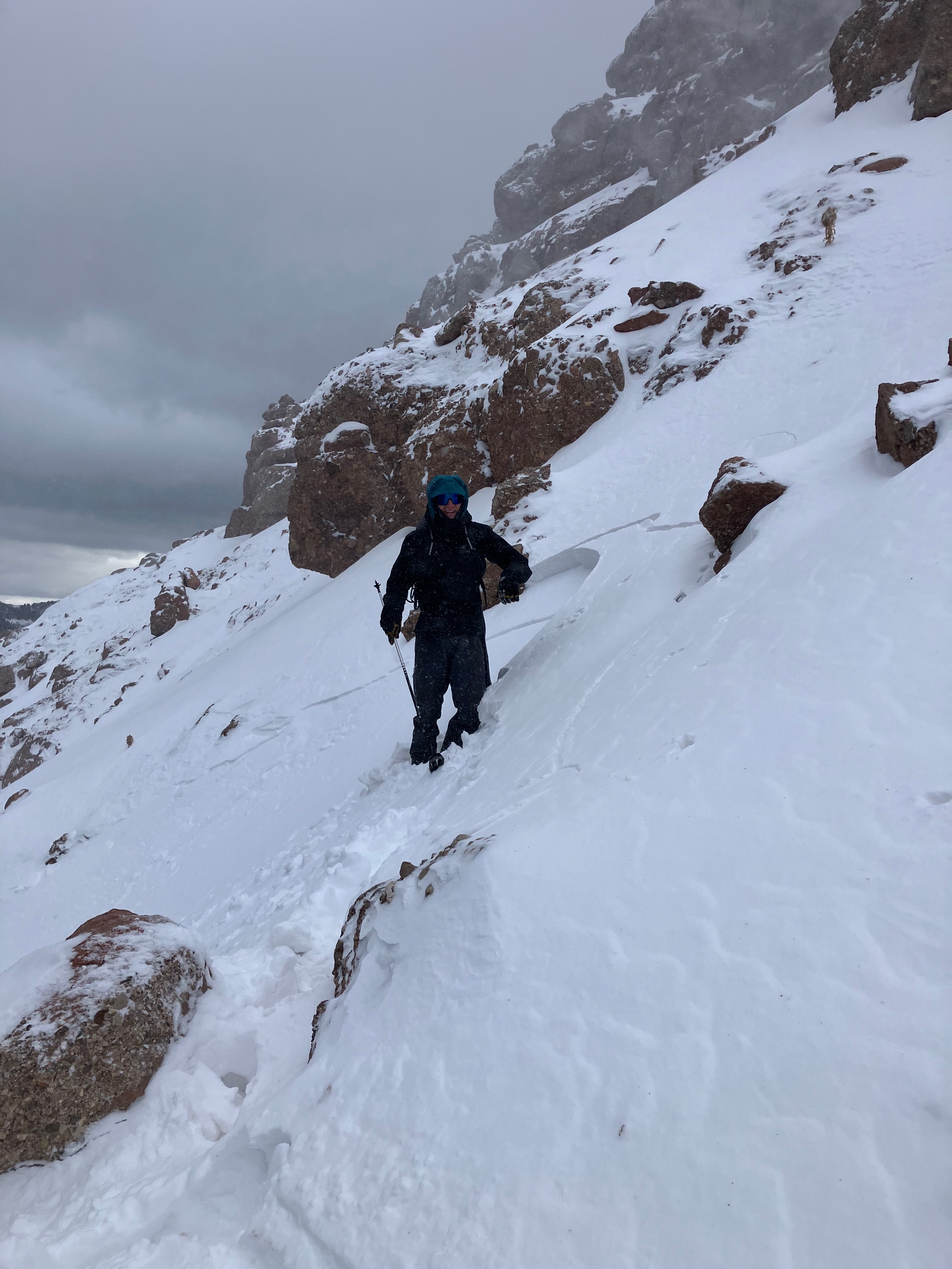
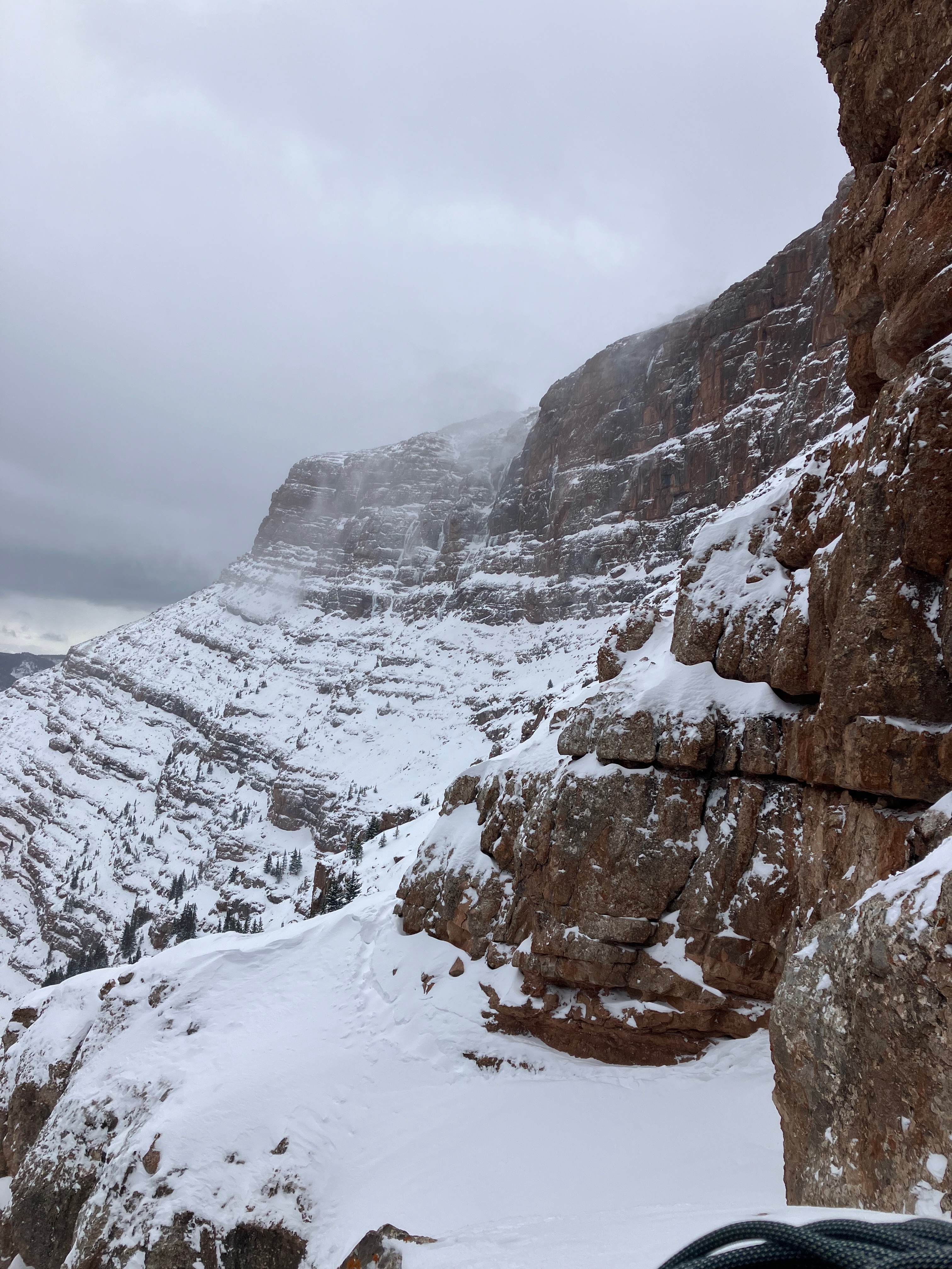
Snow Observations List
From obs: "6-18" of coverage most areas in the Flanders drainage
Warming temperatures early in the afternoon were sending significant wet sloughs down Bobo and Big Sleep as witnessed from across the valley
Warming temperatures were creating perfect wet snow conditions for impressively large pinwheels on steeper solar aspects."
Full Snow Observation Report
Quick loop on the sleds around Black Canyon. 50 cm (~20 inches) of snow at 8000'. Good layer of surface hoar on top, and the upper part of the snowpack is starting to facet. Non-issue for now with snow coming this week that could double the snowpack.
South facing slopes have some damp snow.
Full Snow Observation ReportI made it up to an old crown in a north-facing chute around Fairy Lake at around 9400 ft; it broke the night of 11/6 or the morning of 11/7. It looked like a wind slab that broke on a rotten layer of facets intermixed with scree. Found facets to be fairly widespread through the bottom of the snowpack on the north-facing slopes and surface hoar on most nonsolar slopes.
Full Snow Observation ReportEarly season conditions. At 8000' just below the Sacajawea trail bowl, there is about 9" of snow. In the trail bowl, winds moved that snow around and there is nice firm, supportable (ie - not hitting rocks) snow.
Warm weather really settled the snow and it became damp today on many sun exposed slopes. It stayed dry and cold on high north.
Overall, the things seem quite stable, even though there may be a wind slab or two that could still avalanche.
Full Snow Observation Report
From text: “50cm of snow on an east facing slope in beehive. Got ectp12 breaking at the ground, same result 2 times. Ct2 at the ground as well. Stayed out of the steeps today, some funky skiing with the heat up this afternoon.”
Full Snow Observation ReportOn 20241107 I observed a small natural avalanche from the top of the PK lift at Bridger Bowl. The slide occurred near the Slushman’s lift on a NNE aspect. It started as a small release in the upper start zone and entrained much of the snow in the couloir down to the ground. L-N-D1.5- G.
Avalanche occurred after the start zone had come into the sun for a few minutes. The rest of the path was in the shade.
Wind speed at 11am 24mph gusting to 28mph on Bridger Ridge. Sky Clear. Temp 26F.
It was a relatively small slide but had enough power to carry a skier or rider through some very nasty terrain. Similar aspect and elevation to the Super Couloir slide.
Full Snow Observation ReportWind sculpting observed along thunder road at Bridger Bowl.
Full Snow Observation ReportSmall surface hoar. On a 18” base depth snowmaking snow. North Face, above creek, elevation 7571’ toe of ambush ski slope.
Full Snow Observation ReportFrom IG message: "Hey the post of super jogged my memory to send you this, a friend and I had whumpfing and cracks while skinning up the trees in the apron yesterday [11/6], we dug a pit and got an ect 4 collapse against the rocks. We were about halfway up the apron when we took this."
Full Snow Observation ReportVideo is in IG messages, worth a watch.
From IG Message: “(Avalanche) Spotted in Super Couloir”
Full Snow Observation ReportFrom IG Message: “Skier triggered Pocket in super couloir. Wasn't very unexpected, the skiers left side felt a little slabbier than the skiers right and tried to stay off it but got blinded by a sick face shot. Triggered going over a sharky rock spot, not very fast moving and easy to ski out of. Snow depth was 2-2.5 feet”
Full Snow Observation ReportGarrett sent a POV video but it doesn’t show much so I left it out of the ob. You can see it in IG Messages if you want.
From IG Message: “Hey guys - my partner broke off a small avalanche in super couloir today… broke full depth across half the couloir, 2-3’ deep/20’ wide and looked like it ran around 500’. No one was caught. He might message you with pictures too but here’s a video from the top”
Full Snow Observation ReportSaw debris from several small natural avalanches below the ridge on an east aspect south of saddle peak while driving up to bridger. Most looked like point releases but there was one that might have been a small slab. Unsure because the light wasn't right to tell if there was a crown.
We stayed low but found a pretty uniform snowpack other than a couple of spots with sun crusts.
There was also tons of snow blowing over the ridge when we left around 3pm.
Full Snow Observation Report45.8305, -110.9307, 7840’, NW aspect, 23°
ECTN3 failing on 3cm layer of 2mm buried facets at the ground. HS 65cm.
SE aspect hand pit has much more favorable conditions due to the lack of faceted old snow. Snow near the ground was still moist.
Full Snow Observation ReportToured up to the top of PK this morning to check out the fresh snow and see if we could eek out some early season turns. Cold temps to start the day with some light to moderate wind out of the NW and evidence that the wind was certainly blowing snow around during the storm over the past 24 hours or so. Did not see any significantly developed slabs in a multitude of hand pits at mid elevations, but noticed a relatively consistent 2-4 inch denser layer (from the wind) on top of the softer snow below.
Full Snow Observation ReportFrom email: "A little bbowl storm skiing for me yesterday afternoon/evening. Measured 20-25cm settled storm snow at base area and 35-40cm at mid and upper mountain. Very graupel-rich storm, with lots of rimed stellars too. Winds were blowing from the N across the lower mountain and up to the top of bridger, then I got into the calm "detachment zone" with light winds for the rest of the way. Lots of relatively soft wind slab formation going on, maximum encountered slab depth was 30-40cm. Localized cracking in these drifts, and some subtle, muffled collapsing.
I found a variable amount of "older" snow underneath the new snow, not from the Oct 17-18th storm, but from earlier this week. This was absent at the base but increased to a variable 5-20 cm on easterly aspects on mid/upper mountain."
Full Snow Observation ReportAvalanche observed on Chico Baldy above Mill Creek in Paradise Valley. East aspect at about 9400'. Possibly a wind slab but hard to tell
Full Snow Observation ReportDrove up Lulu Pass road 1/4 mile from hwy 212. There was 7-8" of snow that fell since November 1 on previously snow-free southerly facing meadows around 8,100'.
Full Snow Observation ReportTriggered a small wind slab:
-9600'
-N aspect on the NW ridge of Sphinx Mountain
-Strong SW wind
-Noticed other small crowns, likely triggered from another party traversing the north-facing bowl at similar elevations
Full Snow Observation ReportFrom e-mail: "Photo attached from near top of hyalite peak yesterday eve , 11/2. Cracking in recent hard wind slab, I had to really jump hard to make this. Walked on many other hard slabs that were well bonded. Highly variable snowpack. I think you'd be most likely to get into trouble by popping out a small hard slab pocket like this and getting magic carpeted into some thinly covered terrain."
Full Snow Observation Report


