Snow Observations List
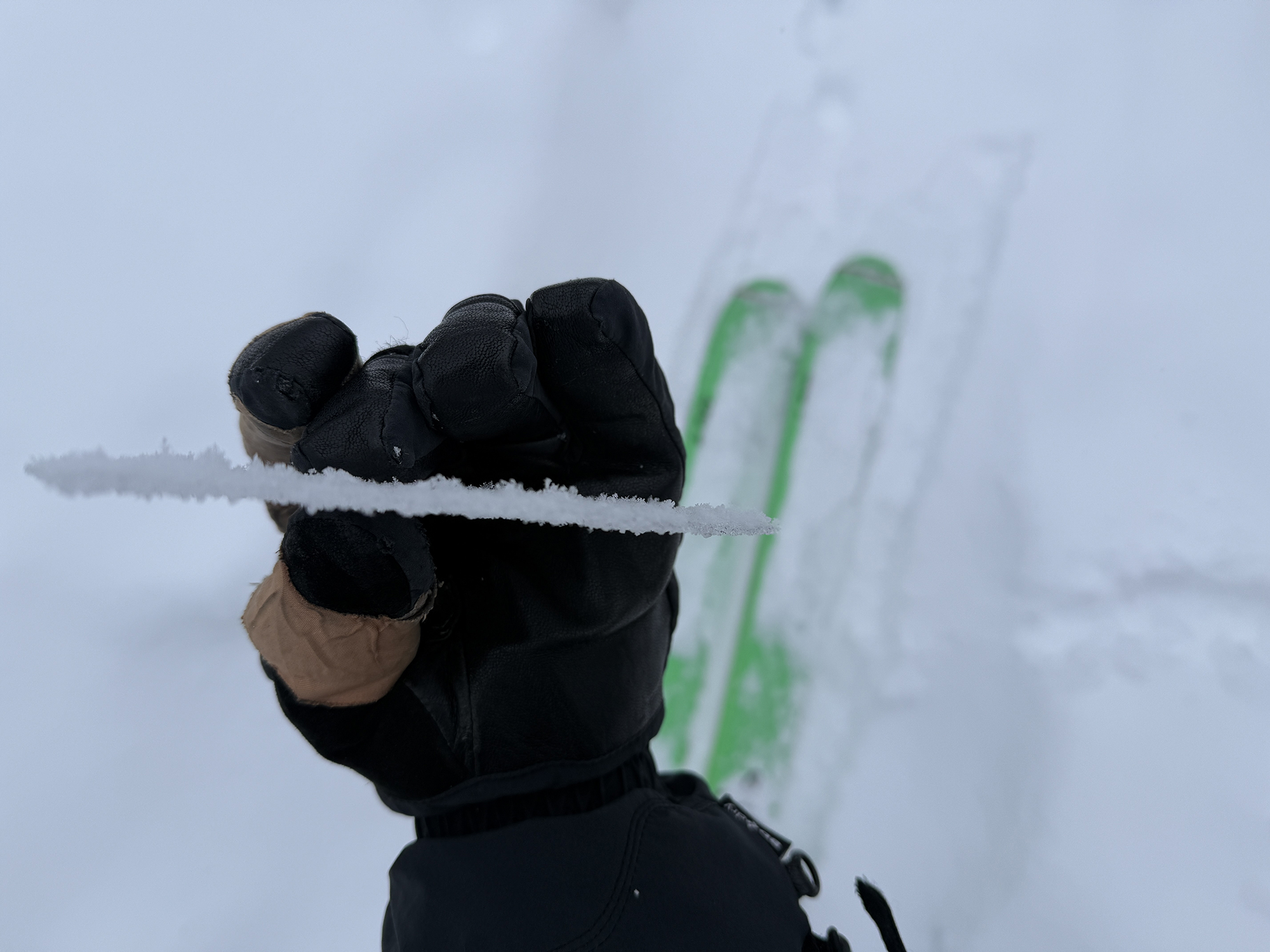
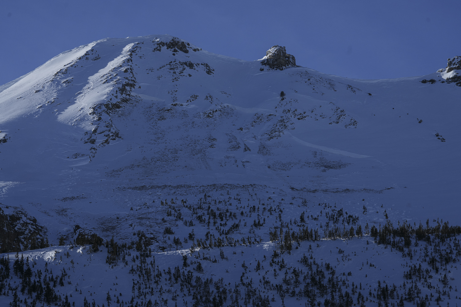
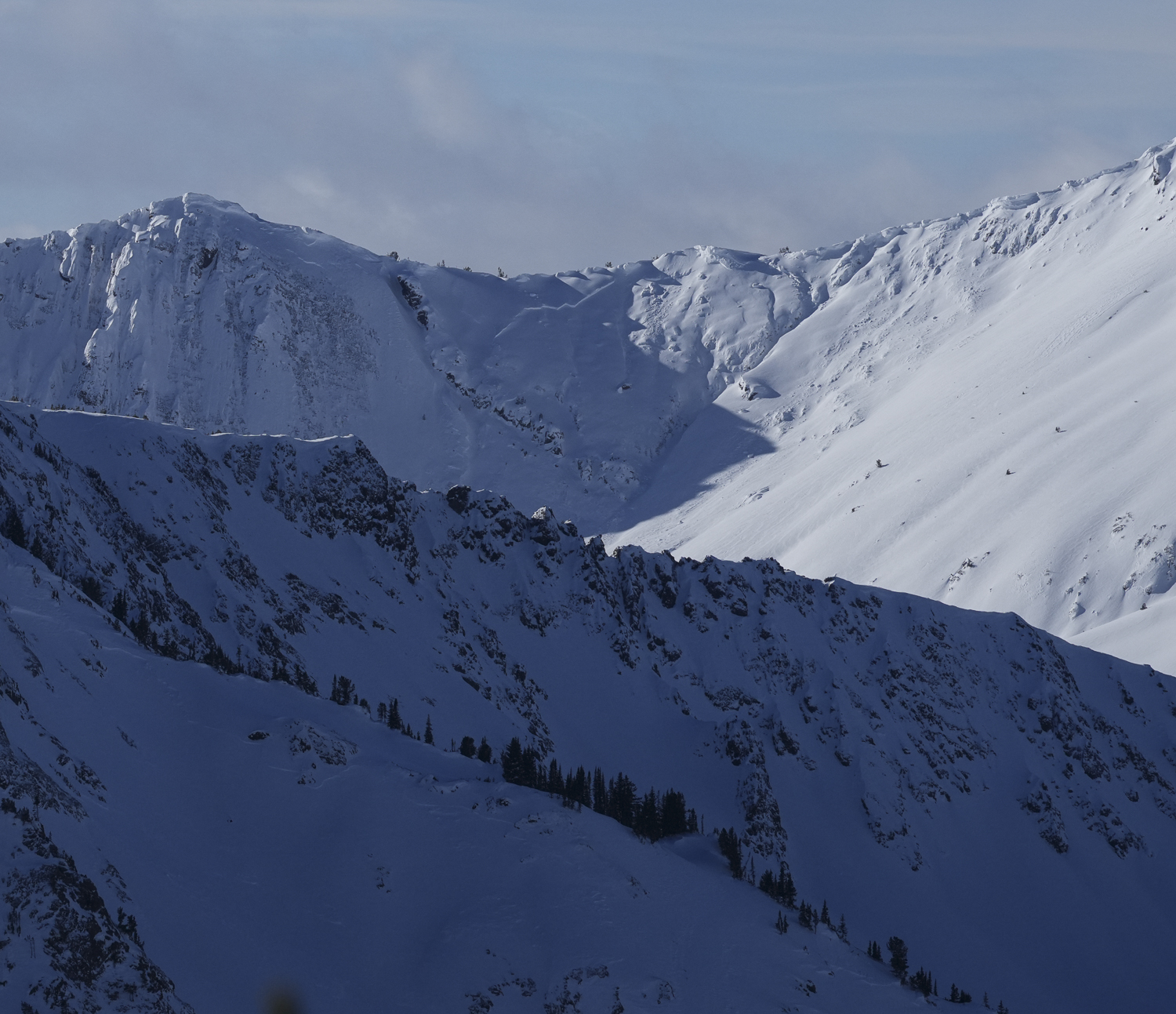
We ski toured in Sheep Creek today, north of Cooke City. Of note, a thin (4mm) rime crust was forming due to the high humidity/ quasi rain. Remarkably the rime crust skied very well.
No avalanche activity observed (low vis). No collapsing nor cracking experienced. Light winds and mild temps.
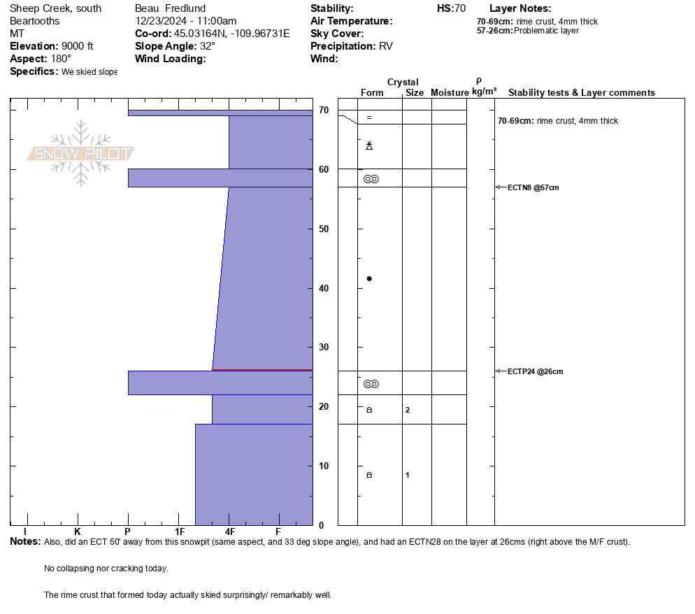
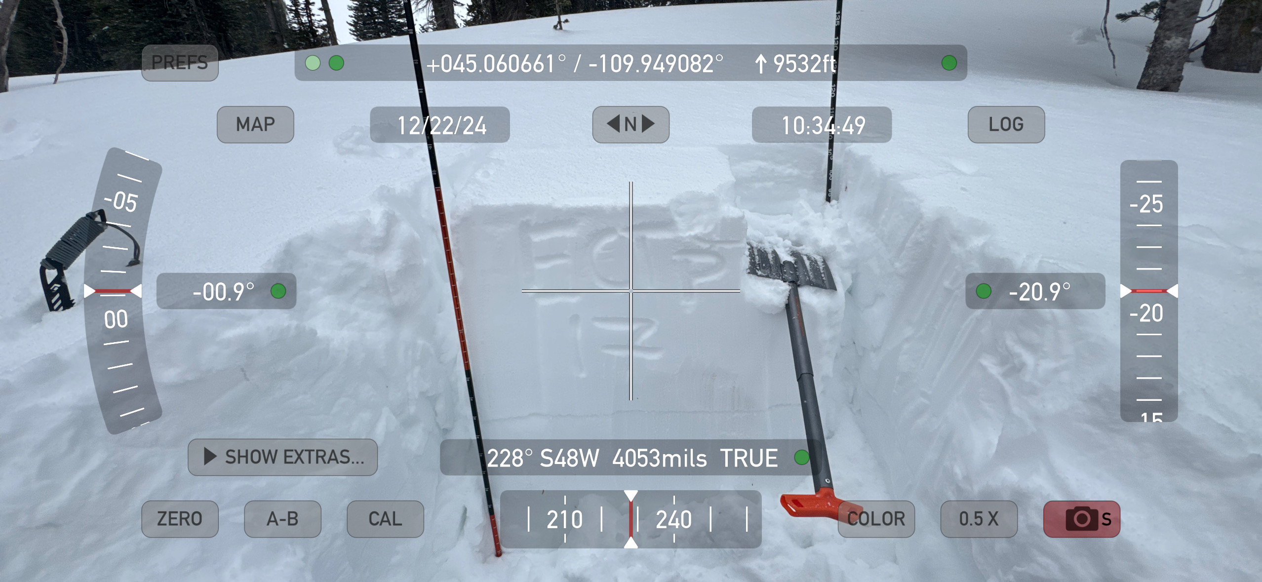
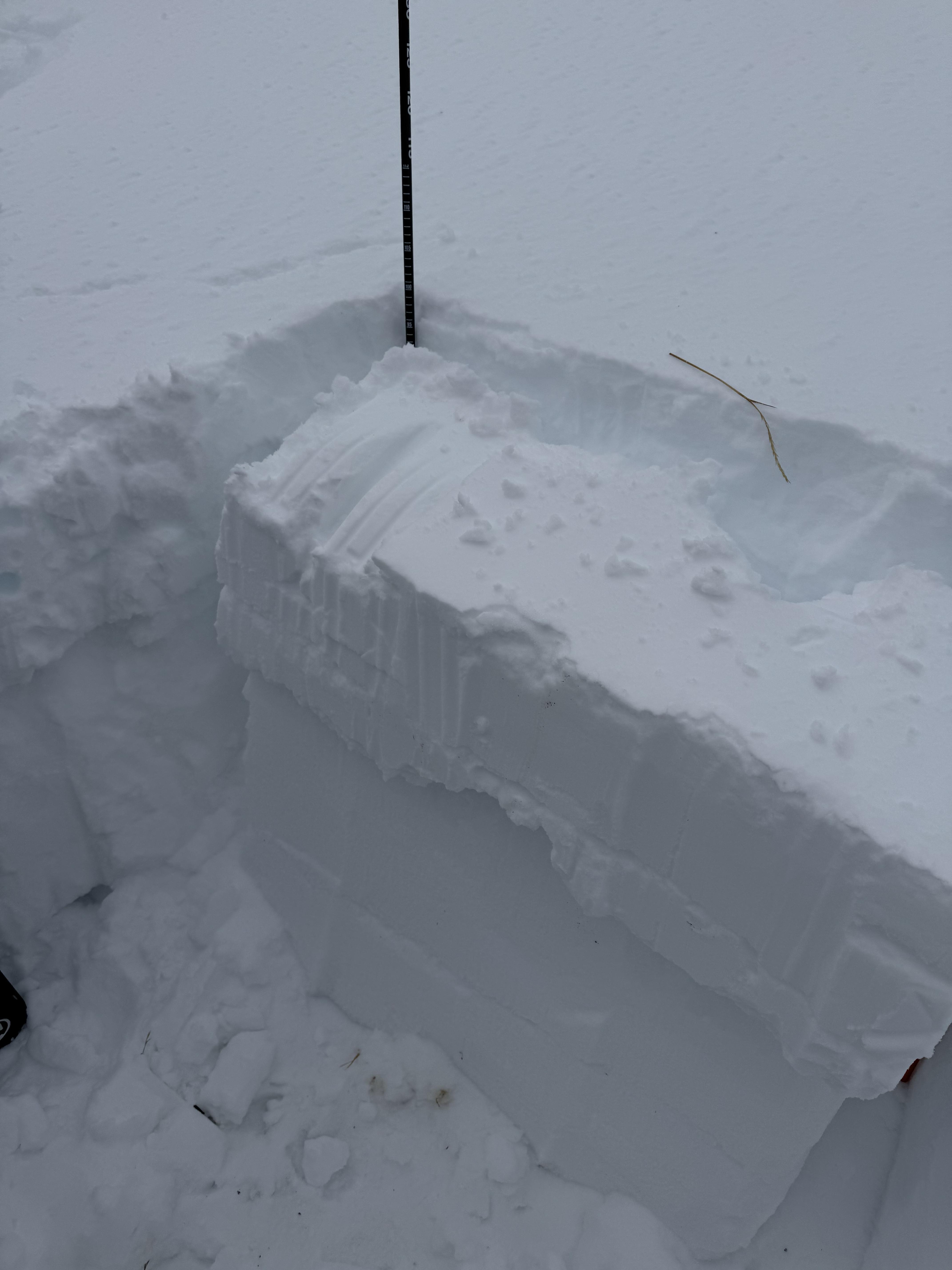
Snowpit attached from a 9000', due south aspect, 32 deg slope. HS 70, ECTP24 at 26.
Another snowpit 50' away, with the same elevation and aspect, and 33 deg steep, had a similar structure, but resulted in an ECTN28 on the same layer.
Full Snow Observation ReportToured up into the Blackmore area today and found a pretty interesting upper snowpack with everything below roughly 8500’ wet from yesterday’s green housing and up slope winds in the Hyalite area. From trailhead to our peak elevation at 9500’ the new snow from last night ranged from a dusting to about 3 inches and capped the wet snow. Above 9000’ winds were actively loading the snow and I got cracking and a very small slab to release on a small wind drifted roll over at 9500’ on a N aspect. Later in our tour we dropped a cornice on an E slope and there was no avalanche activity, albeit the snowpack below the cornice seemed to be very thin as the cornice pulled off most of the surface snow and exposed a lot of rock. Overall decent ski conditions above 8500’.
Full Snow Observation ReportToday, we toured up and out of the north boundary of Bridger Bowl: up the Ramp, into Wolverine Bowl and on top of Texas Meadows. We got eyes on a lot of terrain north of Bridger and were able to dig in six or more different locations, with up to 12 extended column tests. Generally, we found a similar snowpack here as we have seen in the rest of the Bridger range: a slab of varying depths but generally about a foot thick on top of 1-2 mm facets generally in the middle of the snowpack.
In our pits near the top of the ridge, we got unstable test results with propagation on top of the facets. But as we dropped elevation, we found that we were unable to replicate propagation, and only got ECTN scores. These pits at lower elvations looked very similar to what Ian and I found just north of this area on Thursday (Ob from the Throne). One notable pit finding was a very thin layer of surface hoar near the top of the Ramp, as noted in our snowpilot (attached).
Pit propagation was our first sign of instability, and as we continued along ridge past Wolverine we came across a R2 D2 slide in the Hourglass chute above Wolverine. It looked to be triggered by an intentional cornice drop, was around 12 inches deep at the crown, 100' wide and ran 850' vertical feet. It looked around three days old. As we skied down into Wolverine from the Ramp, we noted two other avalanches that seemed like they broke during the loading event that occurred last Sunday/Monday (12/15-16). These slides looked similar to the natural avalanche noted on Saddle this Thursday (Saddle Peak avalanche observation).
Throughout our tour, our snowpack layers looked very similar. Pit propagation up high and recent avalanche activity showed us that the odds of triggering an avalanche in steep, wind loaded terrain were higher than we were comfortable with riding today. At lower elevations, our findings indicated the odds of triggering an avalanche are becoming less likely.
Full Snow Observation ReportMODERATE felt very appropriate for the conditions we saw in the Bridgers today.
Surprisingly shallow snow pack on the upper parts of Bacon Rind. South of Skillet area in the meadows. 2-3 foot depth max at 8800 on a SE aspect. 10+ inches of newer snow on top of a well developed surface hoar. A semi-supportable crust below that with facets to the bottom. ECTP 11 really surprised us, failing on the surface hoar. Challenging skiing staying on top and did some base damage on rocks even up high. Log jam roller coaster back down to the car. Still a fun outing. Send us snow! And keep up the good work!
Full Snow Observation ReportWe rode up Denny Creek to the local's route. Coverage was thin, but passable as we left the Denny and worked up through the trees. The trail hadn't been set in yet this season. We didn't go far once we arrived in the openings below the ridge because visibility was poor. No avalanches or red flags for instability observed (but poor visibility).
The snowpack was weaker than everywhere else Alex and I have been this year. The snowpack remains thin (60-80 cm). The post-Thanksgiving dry spell resulted in a well-defined layer of surface hoar and near surface facets. Below that the base of the snowpack transitioned to large grain sugary facets and depth hoar. Resting on all this weak snow was a cohesive slab. In the non-wind-loaded terrain where we rode, the snowpack seemed to have adjusted to the current load (ECTNs in the high teens to 20s, PST 30/100 arrest). However, new or wind-drifted snow would upset this delicate balance. We avoided wind-loaded terrain where avalanches would be most likely, though this was partially because our planned route simply didn't intersect with commonly wind-loaded slopes.
While snowpack tests were not propagating failure today, just a few inches of snow (over 0.3" SWE) would change the picture. The danger would increase and collapsing and human-triggered avalanches would become likely.
On the drive we saw one small wind slab in Yellowstone that looked 1-3 days old (photo attached).
Visibility improved on the drive back, with high clouds, and we looked towards Lionhead with Binoculars from the highway and did not see any avalanches.
Full Snow Observation ReportMODERATE was appropriate today. Over 1/4" of SWE overnight and with the chance for continued snow will result in an increase to CONSIDERABLE.
Snow surface soft with ~3" of new, mod-strong SW winds at 11am
Reactive tests in snowpits with low to moderate ECTP scores. HS 105, NE aspects at 9480'.
Experienced collapsing on the north end of Rob's, likely failing on buried surface hoar that was evident in pit.
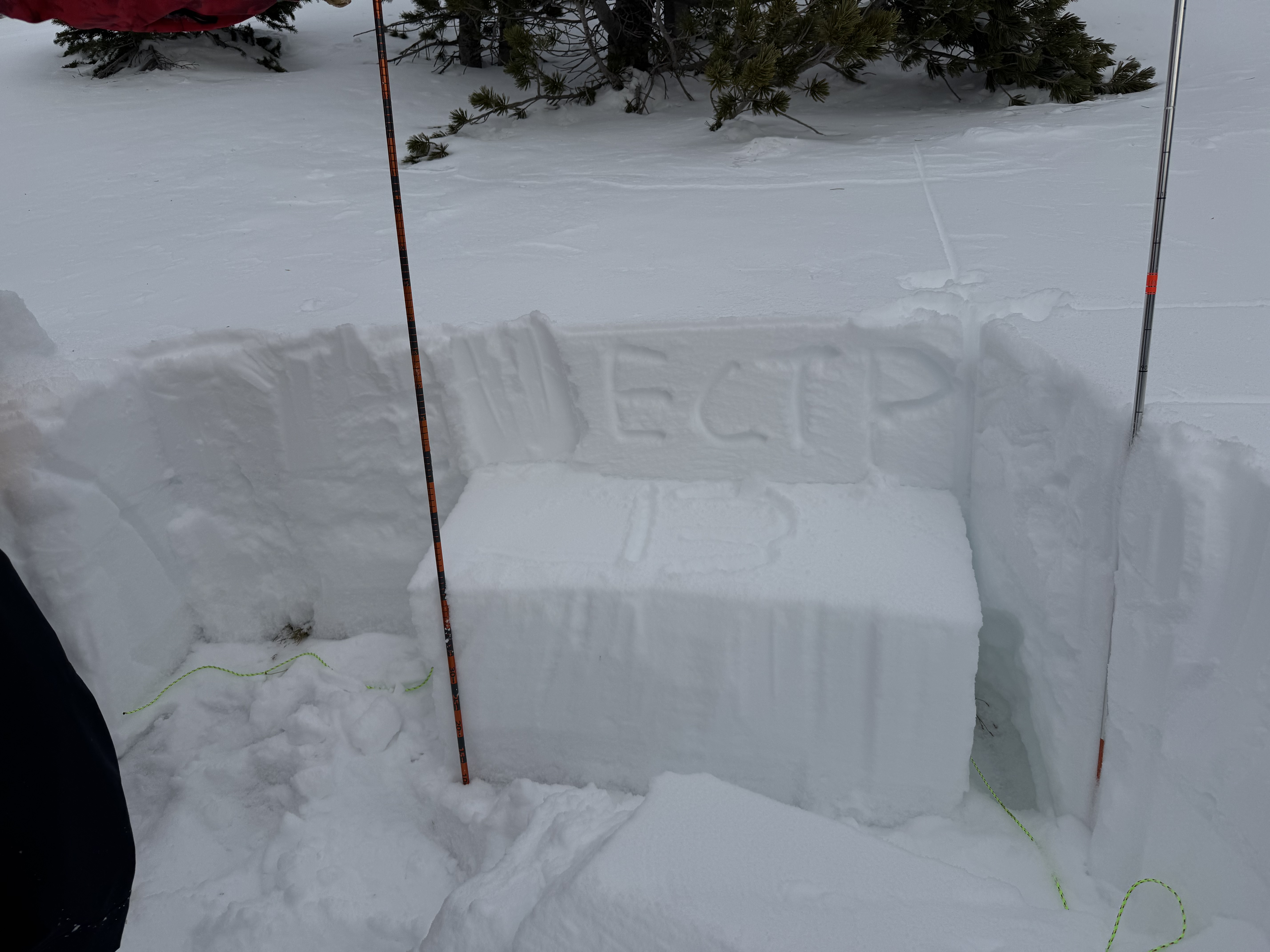
Full Snow Observation ReportECTP 15 75cm up from ground. HS90-110 9000ft SE aspect. Down 1000 feet similar aspect we also got propagation up 23cm with a HS of 55cm. Photo from the 9000ft pit.
Full Snow Observation ReportSmall slide in terrain trap. Looks to be old, likely from before the wind event that occurred mid last week. A snowmobile track leads into it with wind-drifted snow covering the track.
Full Snow Observation ReportFrom email: "Rode buck today. It was very windy this week. Open areas are quite scoured, but there are still great stashes to be found if you hunt around. We triggered a 12" soft wind slab on a NE facing slope at 9,5k'."
Full Snow Observation ReportWe got into the Maid basin around 9:30 am while things were still cold. Much evidence of the recent wind event in the alpine with widespread wind slabs ranging in thickness from an inch to feet. There was some natural avalanche activity on the peak south of mt Bole.
Got an ECTN 19 and 23 on a SE aspect at 9300’ HS 95cm
This was on a thin layer of facets sitting under a crust at 58cm. With a few prior hand pits showing planar shear on this layer we opted to keep it low angle.
By noon things were getting quite warm and Skiing through the thinly covered, glopy bushwhack back to the trail was our crux for the day.
Full Snow Observation ReportSnow rangers went as far as 3rd Yellowmule. We saw no new snow but evidence of wind effect, including a sizable, probable windslab avalanche Top of Macattee Basin
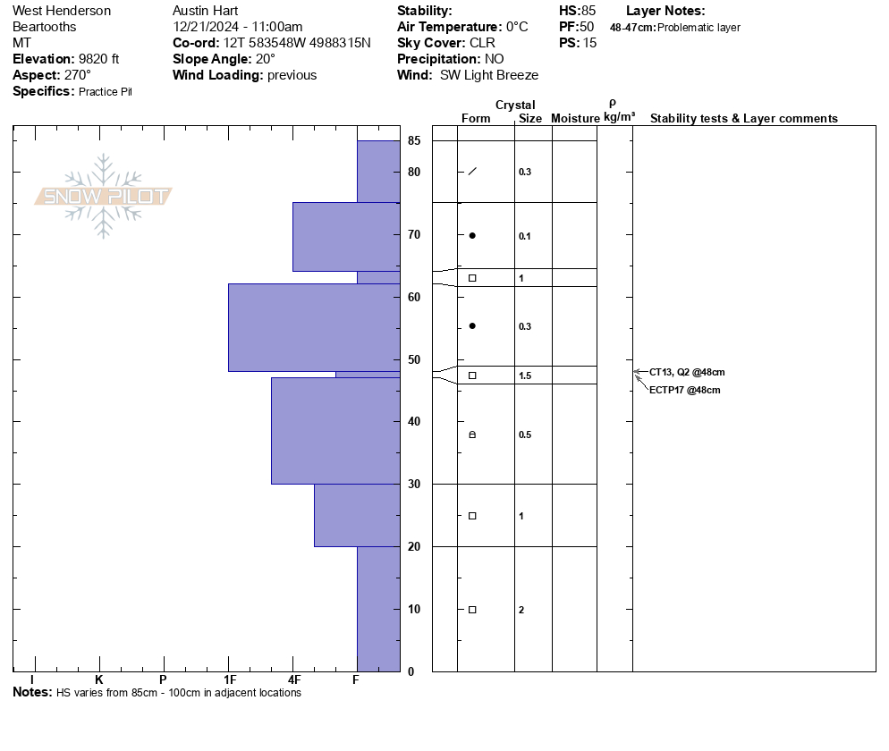
Full Snow Observation ReportWe toured above 9000' on a W to SW aspects on Henderson Mtn. We experienced several collapses and had propagation in multiple ECTs performed. HS varies between 85-105cm. Snowpilot pit is from 9820' W aspect, photo from 9940': both with ECTP results.
Snow surface variable with wind boards and radiation crusts, mixed with soft snow in shaded aspects.
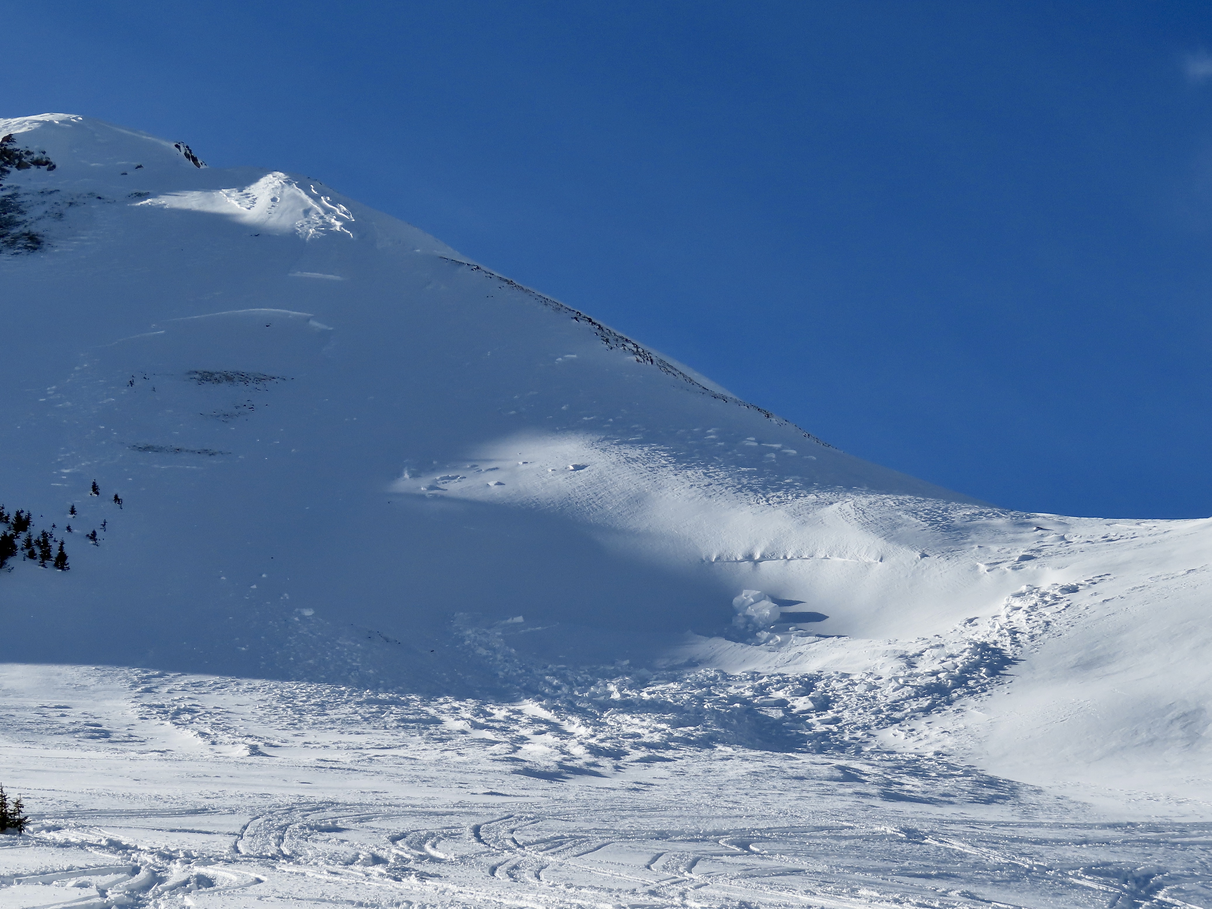
Full Snow Observation ReportWe rode out to Lulu Pass to look at the few avalanches that were reported yesterday on Henderson and Fisher Mtn. Today we did not see any avalanches that weren't previously reported, other than one small, but thick wind slab on south facing slope of Scotch Bonnet (photo). At least the avalanche on Fisher and one on Henderson broke near the ground (pics attached). Some slides were heavily refilled by drifted snow, so it was hard to tell how deep they broke.
Yesterday I saw a wide slab avalanche up on west Woody Ridge from town (photo attached). It happened late on Wednesday or overnight during or after the strong winds and snowfall.
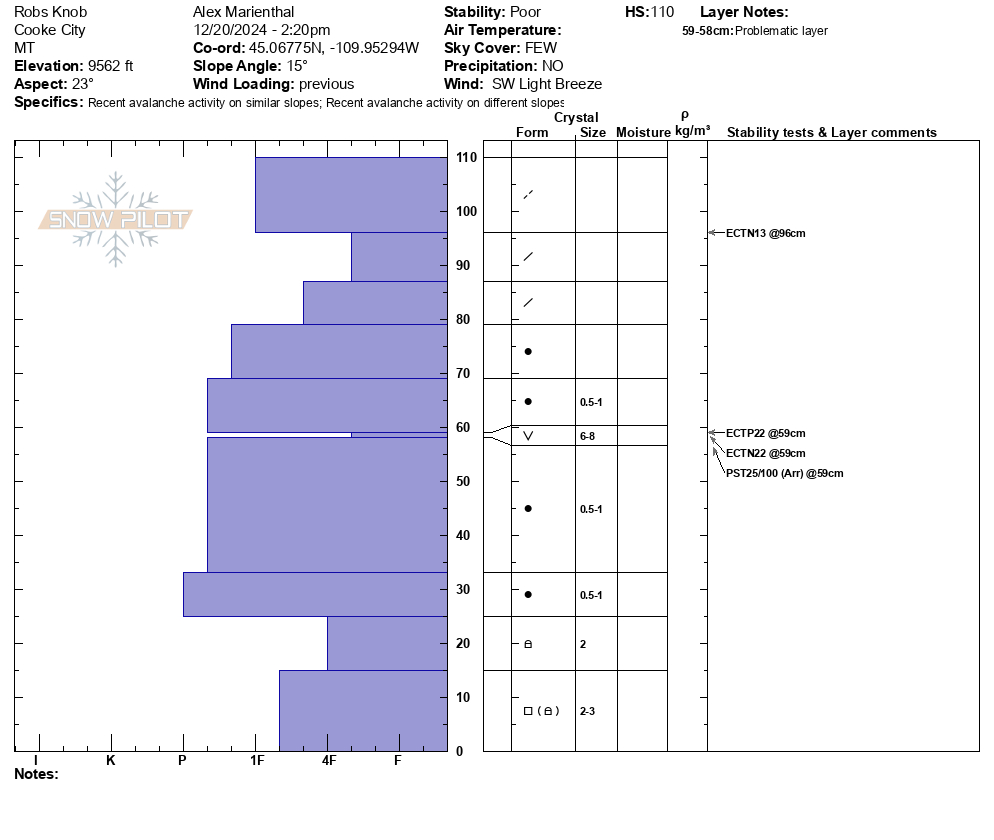
We dug a pit on a north-northeast facing slope below Fisher Mtn. (on Rob's Knob). Snowpack was just over 3 feet deep with a stripe of surface hoar in the middle. Generally 1F to Pencil hard slab above the SH. Facets near the ground were 2-3mm and rounding. We had ECTP22 on the surface hoar and ECTN22 and PST 25/100arr.
Despite the generally hard and rounded facets near the ground, recent avalanches are a sign that those are a problem in addition to the surface hoar.
Clear and mostly calm today. A few rollerballs on southwest aspects.
Overall, the recent avalanche activity is a sign that the early season weak layers are a problem to watch going forward. Danger and likelihood of avalanches may decrease in the immediate future with a break from loading, but we need to be thinking about these layers when future storms add up.
Full Snow Observation ReportWent out to have a look in the northern Bridgers today, hopeful that the moderate rating for the Bridgers today would lead to some fun lowish angle action.
Dug a pit at 7600 ft on a NE facing slope. Full propagation on isolation of the column on the layer of concern about 16 inches down in this zone. Went a little higher up and got a big whumpf and that was all I needed to bail on even the lower slopes.
Light winds and a sunny morning were quickly having an effect on the snowpack at history rock. Around 40f temps all day, with a moist, gloppy, snow surface. A quick dig in the top meadow showed the storm/windblown snow was moist down to the crust formed during our last high pressure, and the basal facets were also moist up to around 30cm from the ground. We saw no signs of instability in the less skied areas of the top meadow, including those that had been recently wind loaded.
Full Snow Observation ReportFrom email: "Maiden Voyage to Goose Lake for the season today. Lots of wind drifted snow everywhere and challenging riding conditions. Performed Stability test on shoulder of Mount Fox NE facing slope at 10,300'. HS 180cm. ECTP2 40cm down on Buried Surface Hoar. ECTP 23 90cm down on MFcr with 1-2mm Facets. Saw several recent wind slab avalanches in steeper windloaded terrrain around Goose Lake, but limited activity was seen on Henderson. Lots of co/cr while touring on Mount Fox. D2 avalanche on east facing Mount Fox that appears to be on the SH layer, triggered by a cornice drop."
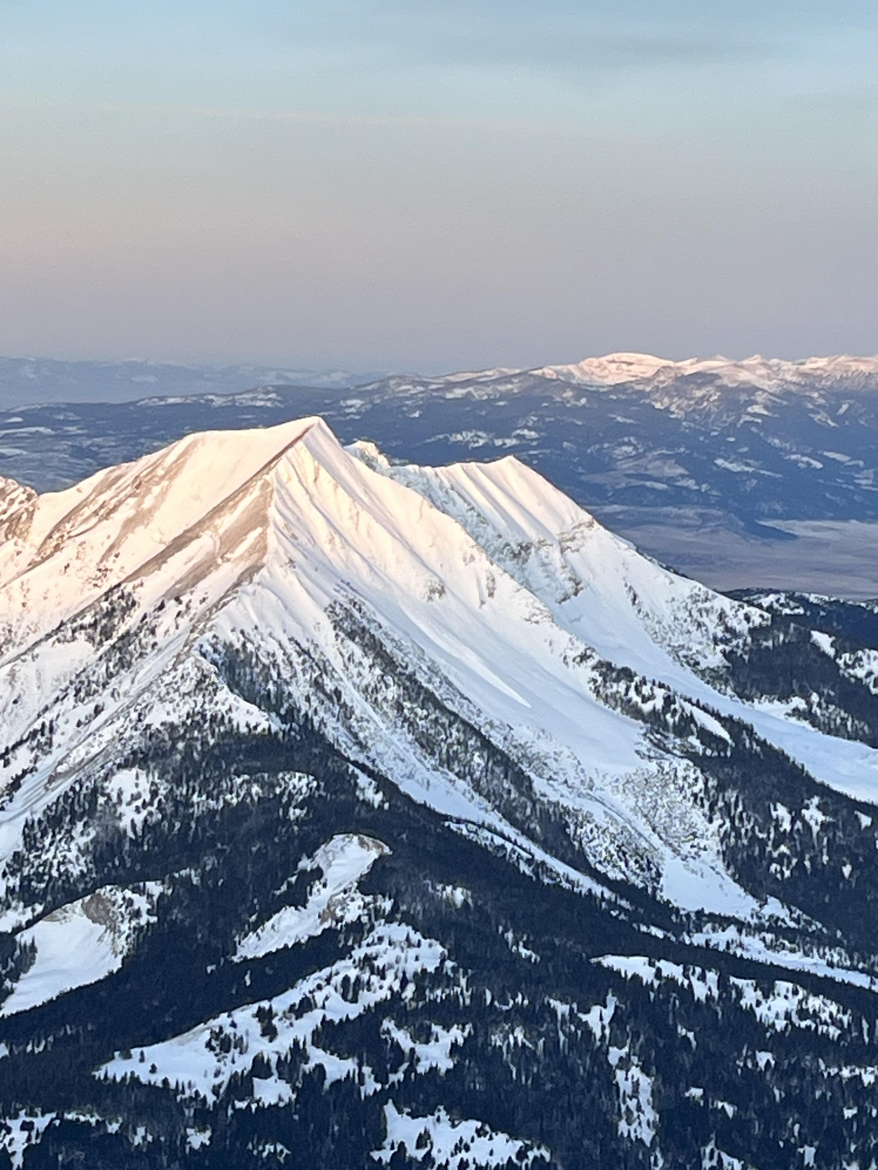
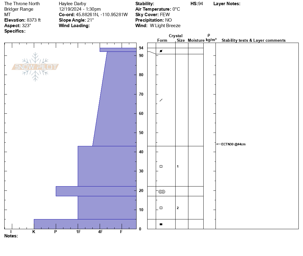
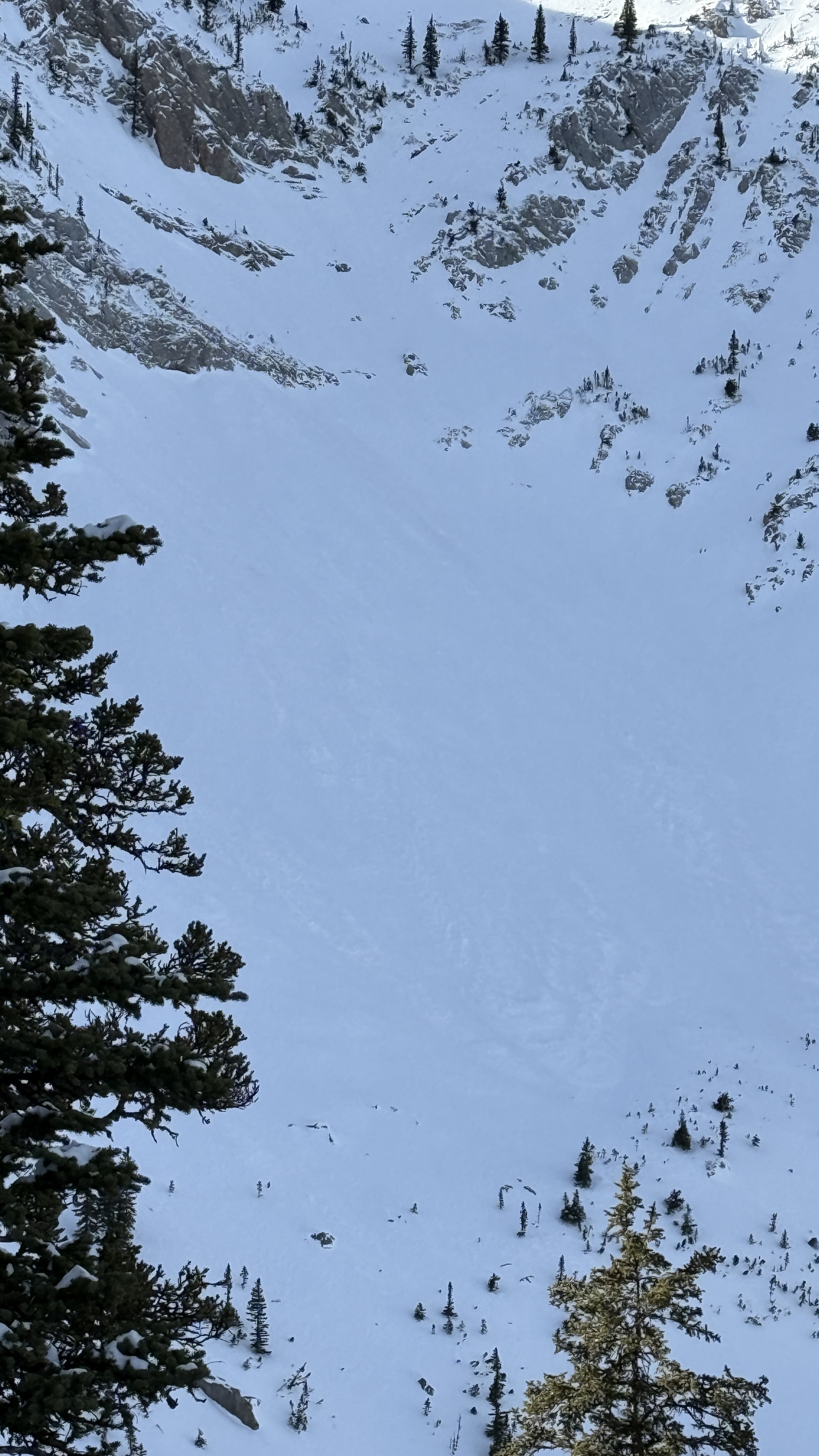
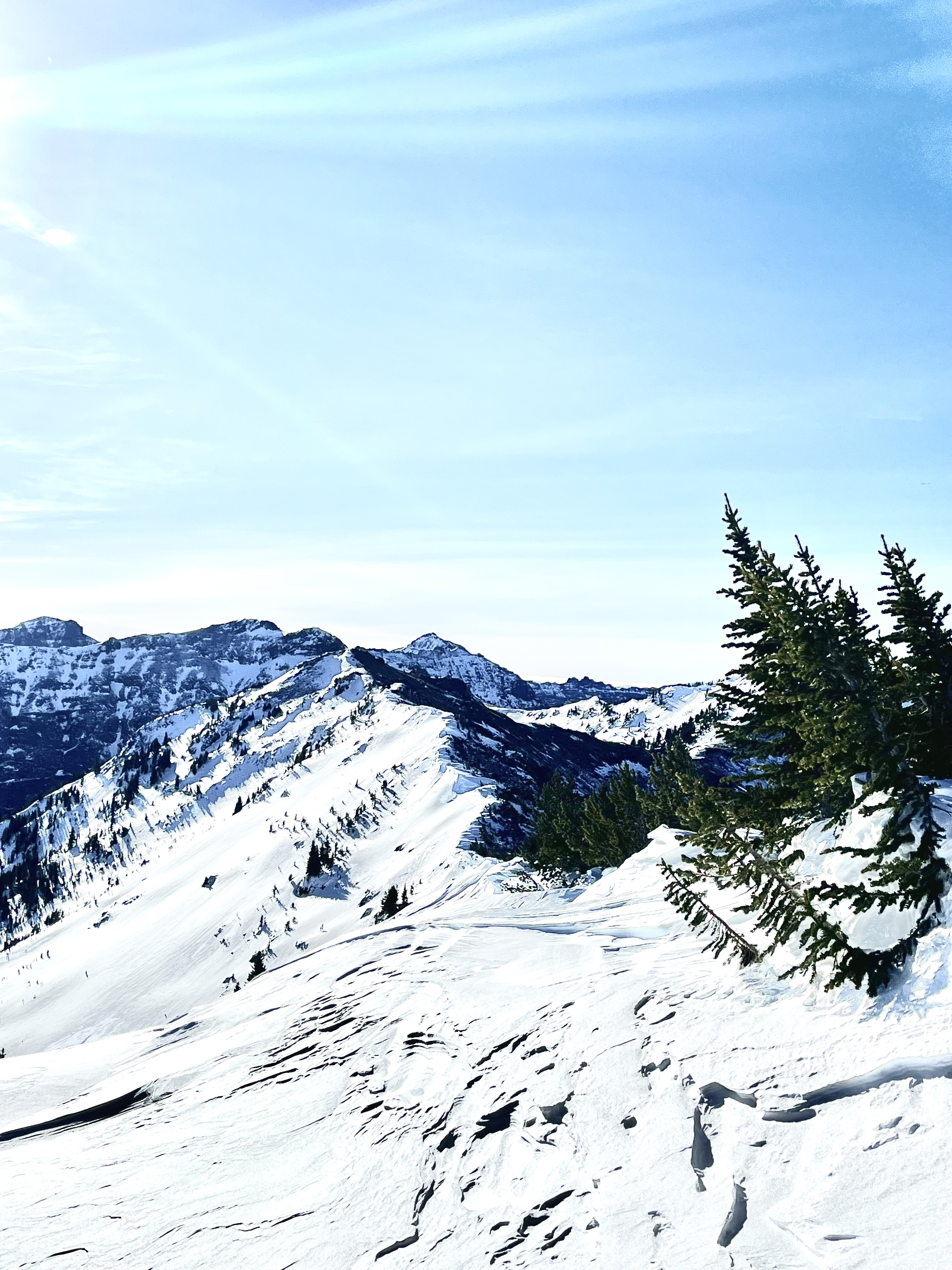
Full Snow Observation ReportToday, we rode up to The Throne for the first time this season. We parked at the motorized boundary and toured up the east face. The road riding was good but there were certainly more dirt patches on the way out, than in, with the warm temps.
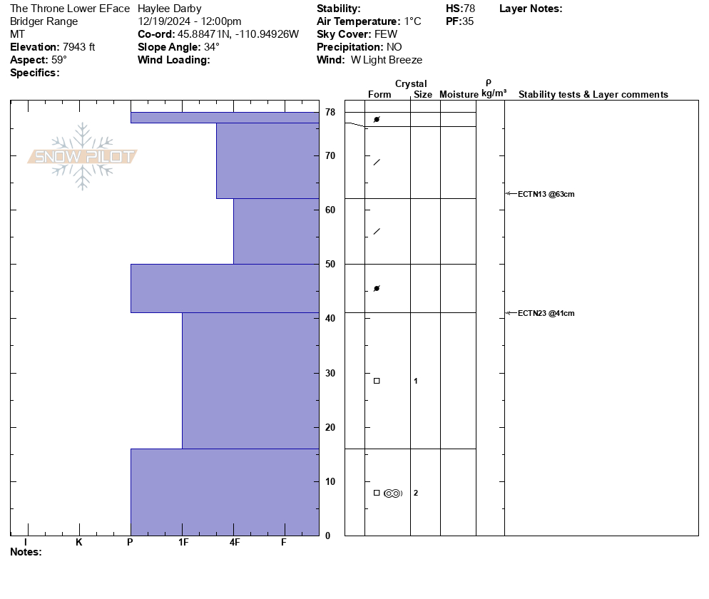
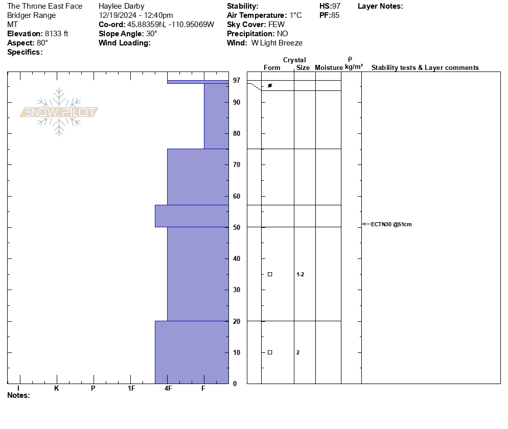
We dug two pits on the east face as we ascended. At 7950' we had HS: 78, ECTN13 + 23. At 8140', we got HS: 97, ECTN 30. We toured up the ridge and moved over onto a north aspect. There we got HS: 94, ECTN 30. We observed no cracking or collapsing. Weak layers still exist at the bottom of our snowpack, but we were happy to find that these weak layers in the Bridgers seem to be not quite as weak as in our other zones.
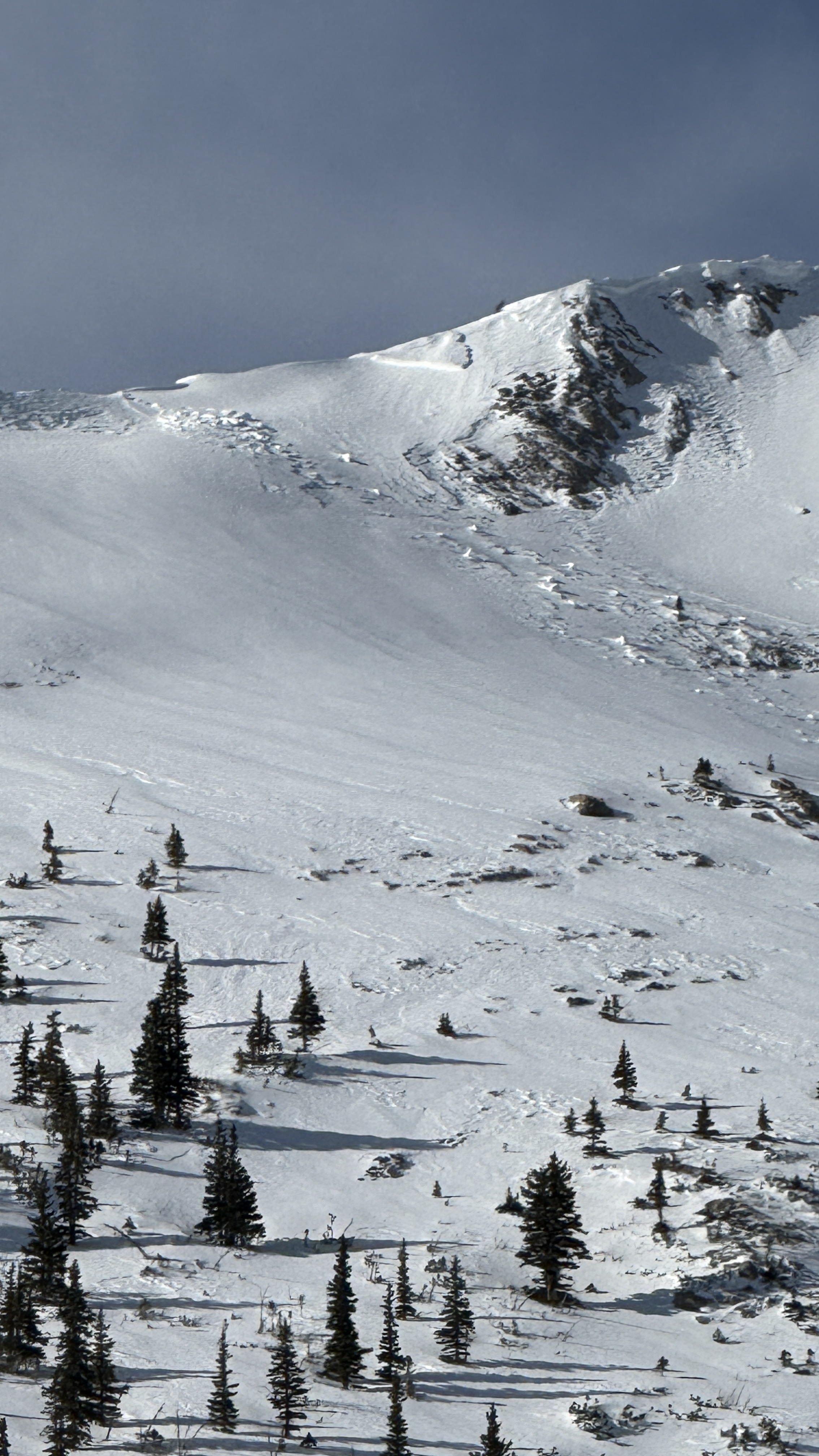
We had good visibility and were able to get eyes on two avalanches that occurred naturally during the major wind event yesterday in the bowl south of Naya Nuki. The largest of which was a R2-D1.5 that broke in the new snow. We also got eyes on a natural avalanche (R2-D2.5) that occurred yesterday on Saddle Peak.
Full Snow Observation ReportWith few signs of instability, outside of the avalanches from the wind event, we felt that MODERATE was appropriate for the Bridger Range.
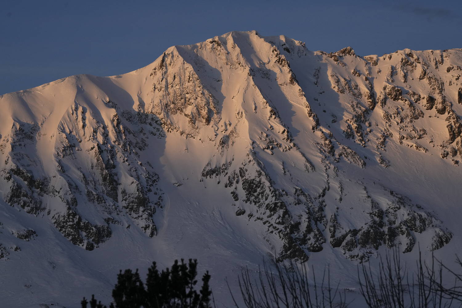
Toured up Flanders Peak this morning—a beautiful day with clear skies and no/light winds.
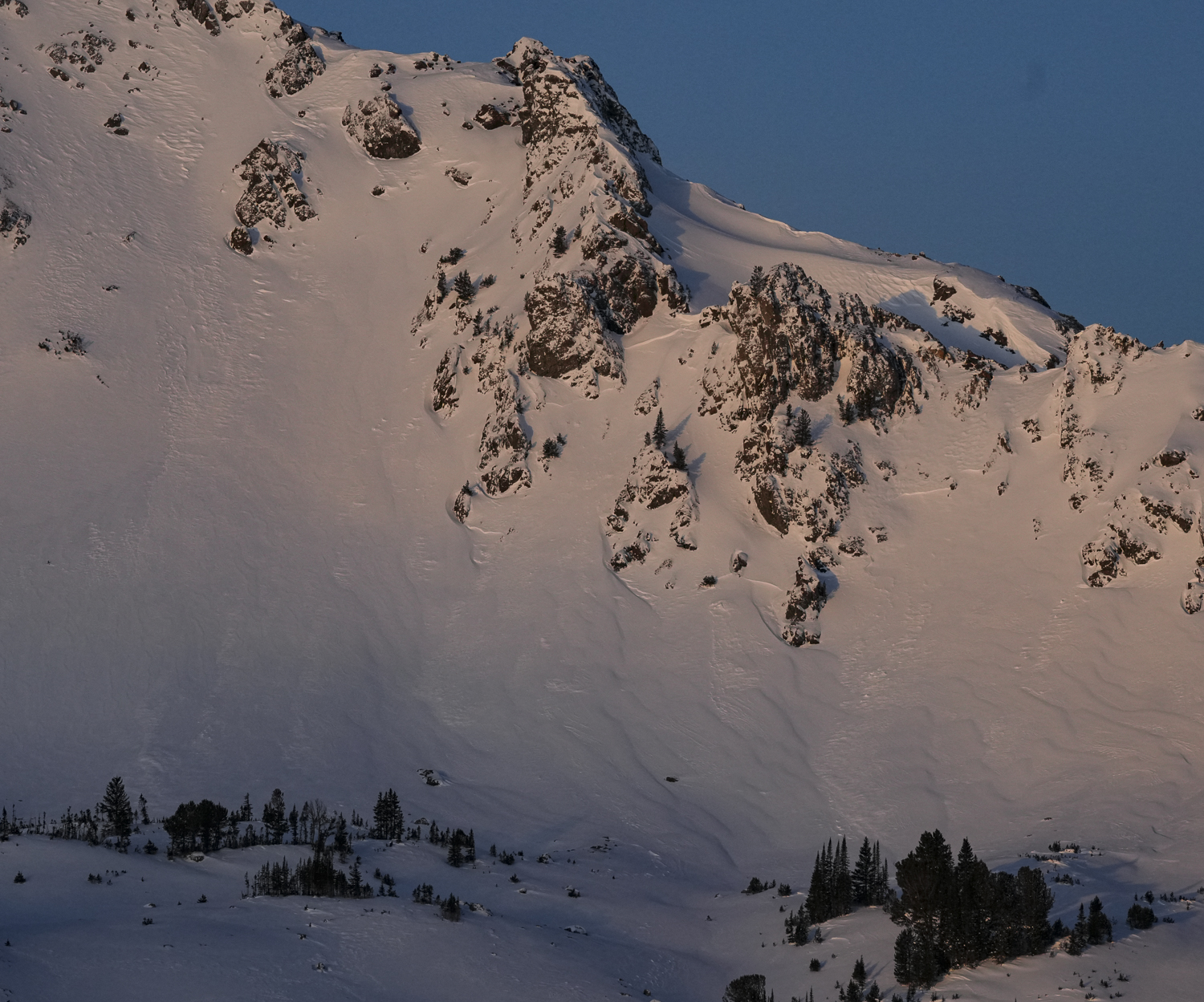
During our ascent, we observed widespread wind effects above 8800'. The west-facing ridge of the drainage was scoured of snow, while wind loading was observed on E/SE aspects between 8800' and the summit. 1-5" thick wind slabs were widespread, and were especially of note at lower elevations in the east-facing trees; increasing depth and stiffness as we ascended and on Flanders' E shoulder. Got a few small whumpfs along the E shoulder while ascending, but no other signs of instability on the day. Several small test slopes we traversed along the ridge did not show signs of instability when we tested them.
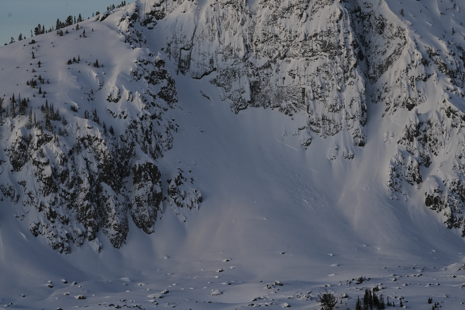
The power of the winds was emphasized by the scoured west side of the East Ridge of the Main Fork.
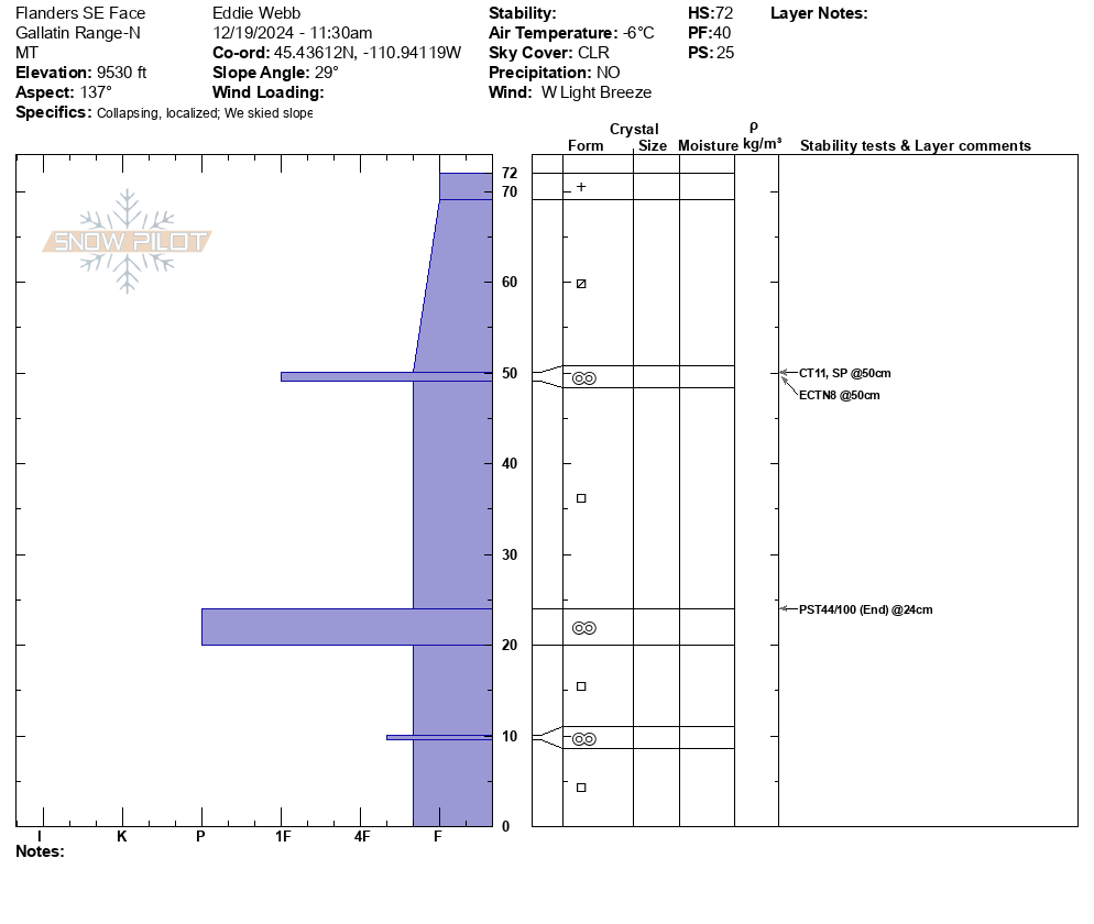
We skied the slope in the trees south of the summit and dug a pit on a SE aspect @ 9530'. Skiing quality was low. Snowpit depth was 72cm. Test results were CT11 SP, ECTN8, PST 44/100 (End).
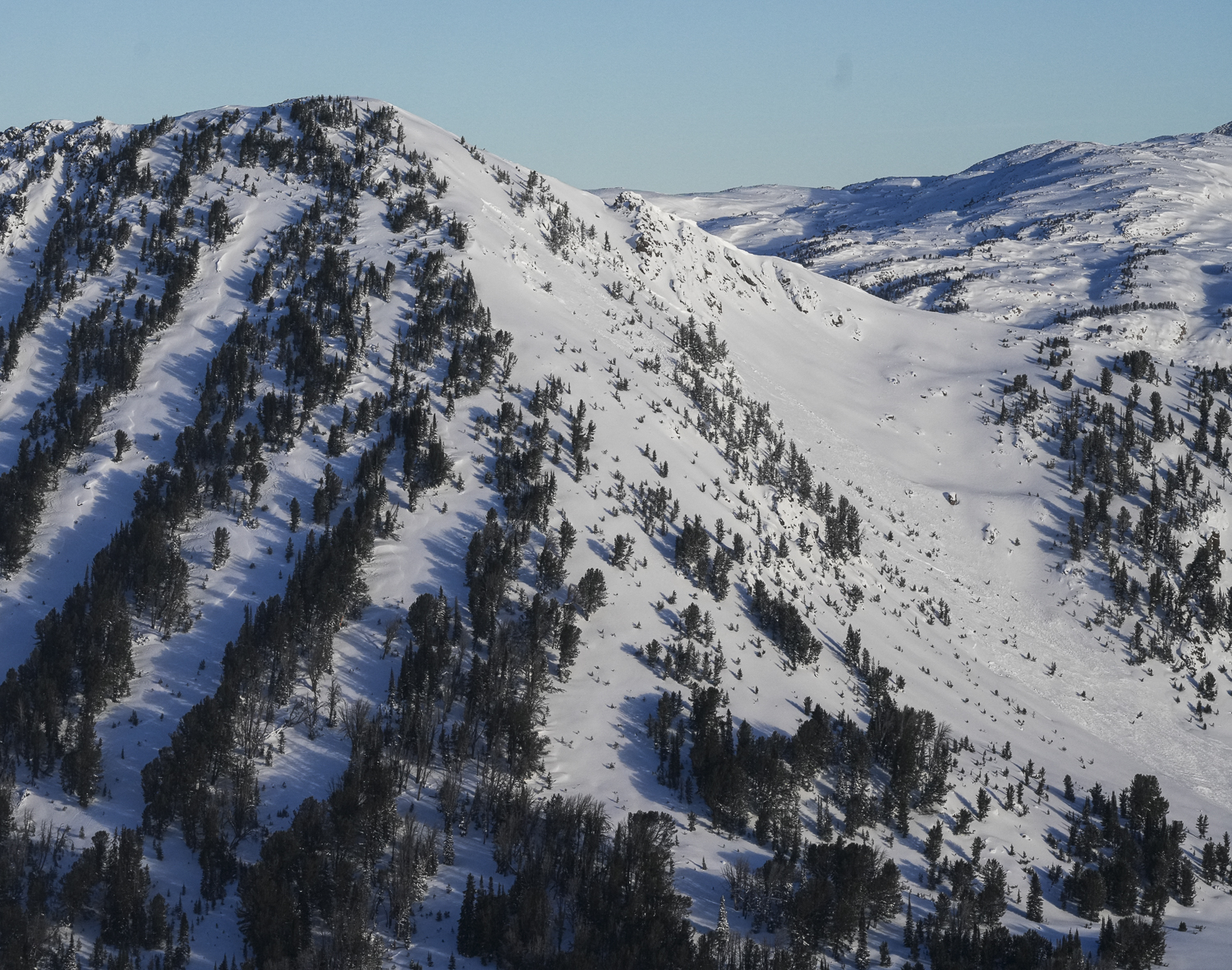
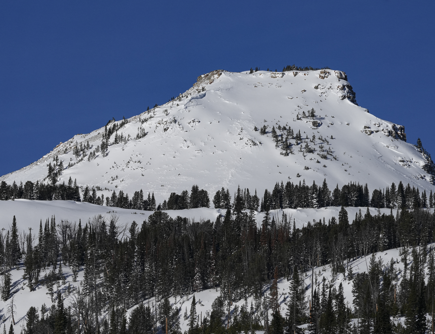
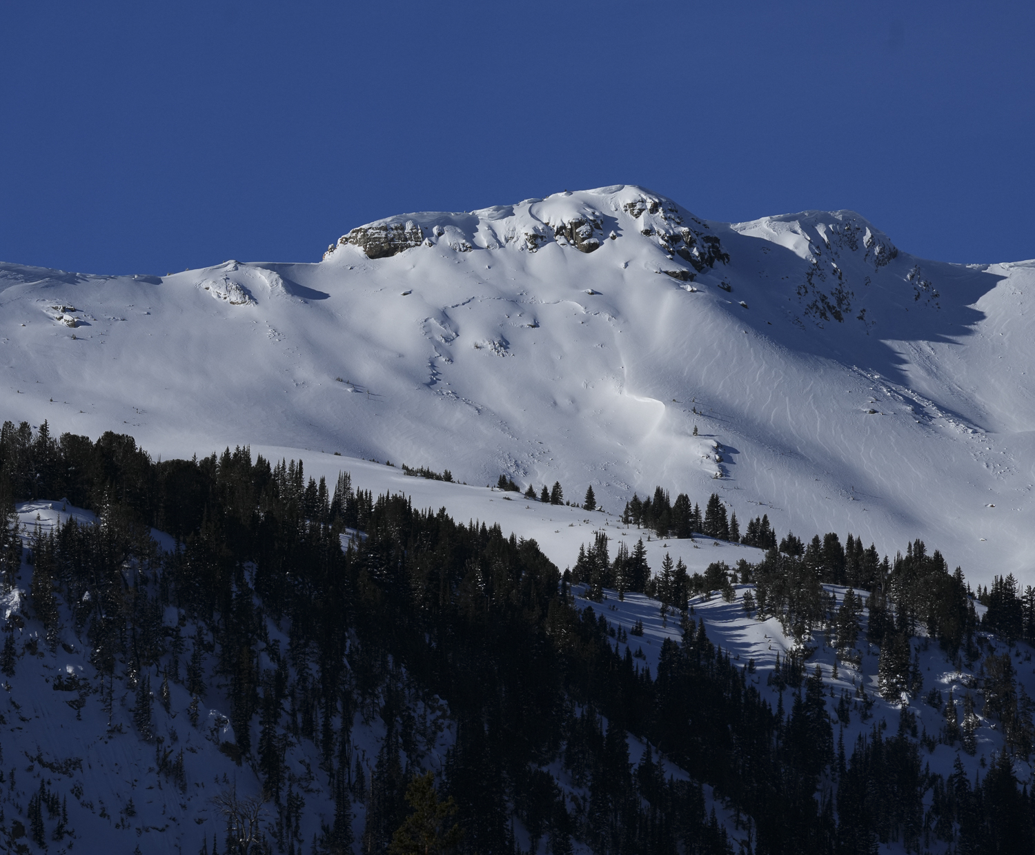
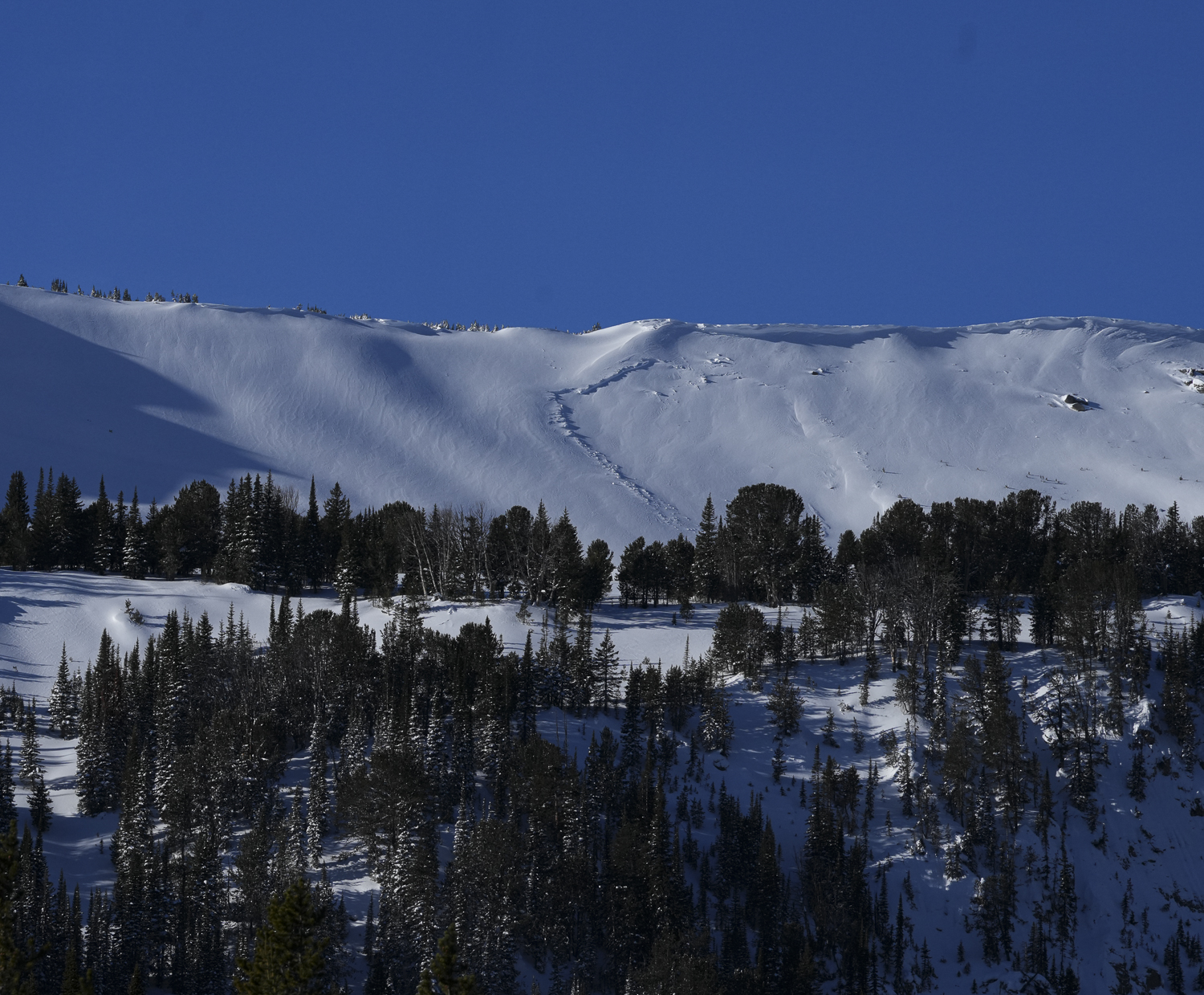
Full Snow Observation ReportQuite a few natural avalanches observed north of Cooke City today. Photos attached of:
1: NE facing, 10,000, Miller Ridge
2: E facing, 9900', Bull of the Woods Pass
3: NE facing, 9700', Miller Ridge
4: E facing, 10,200' Scotch Bonnet Mtn.
5: E facing, 10,000 Mt. Henderson
6-8: NE- N facing, 10,000' Mt. Henderson
9: NE facing, 10,000' Sheep Creek.
There was also a large avalanche event on the E aspect of Fisher Mtn, which I didn't photograph. But there were some other skiers nearby who likely had a good view of it.
Also, we had 4 large collapses today. One on a southerly aspect, and the other 3 on NE aspects. All around 9800'.
Full Snow Observation Report

