Snow Observations List
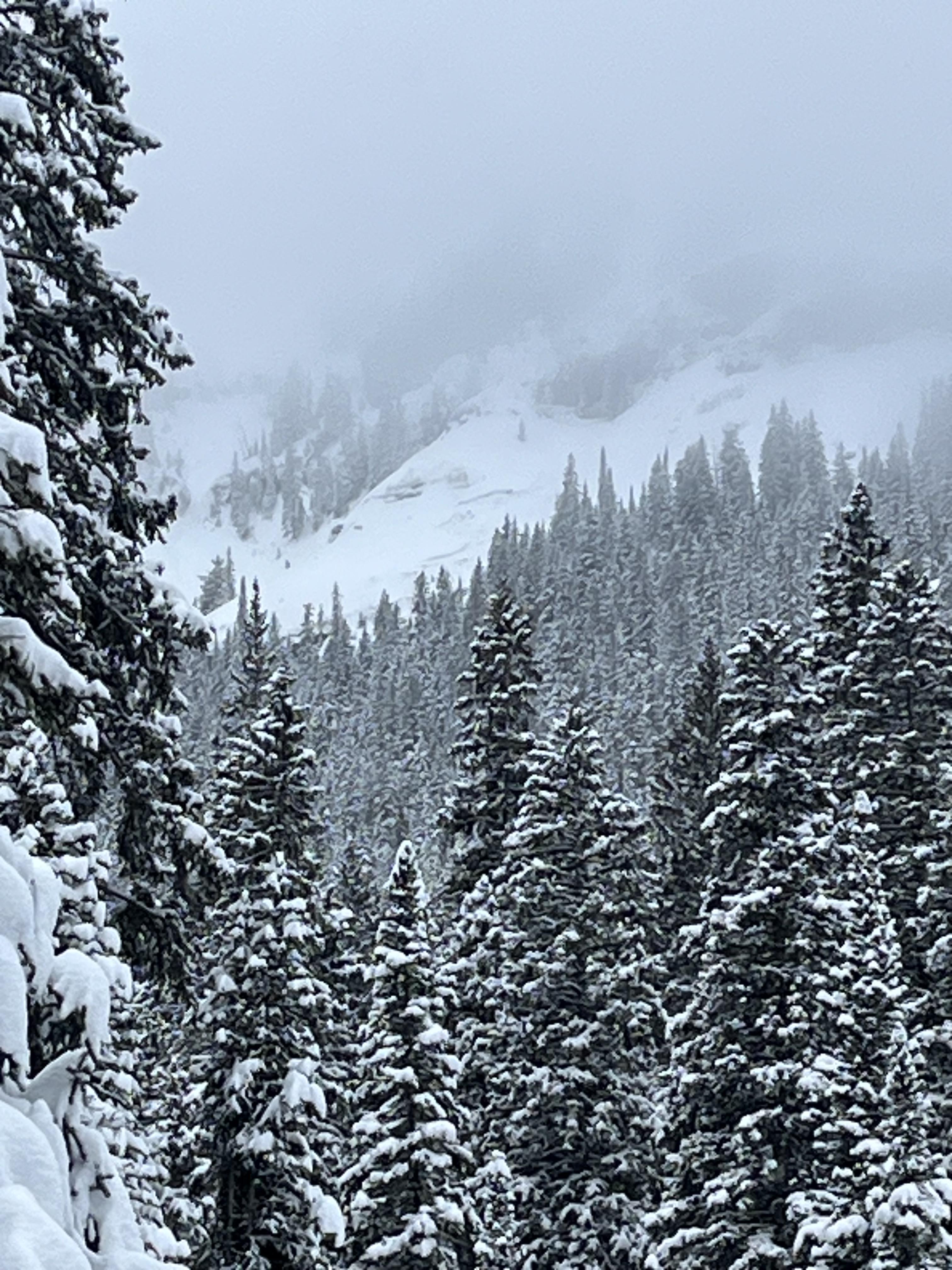
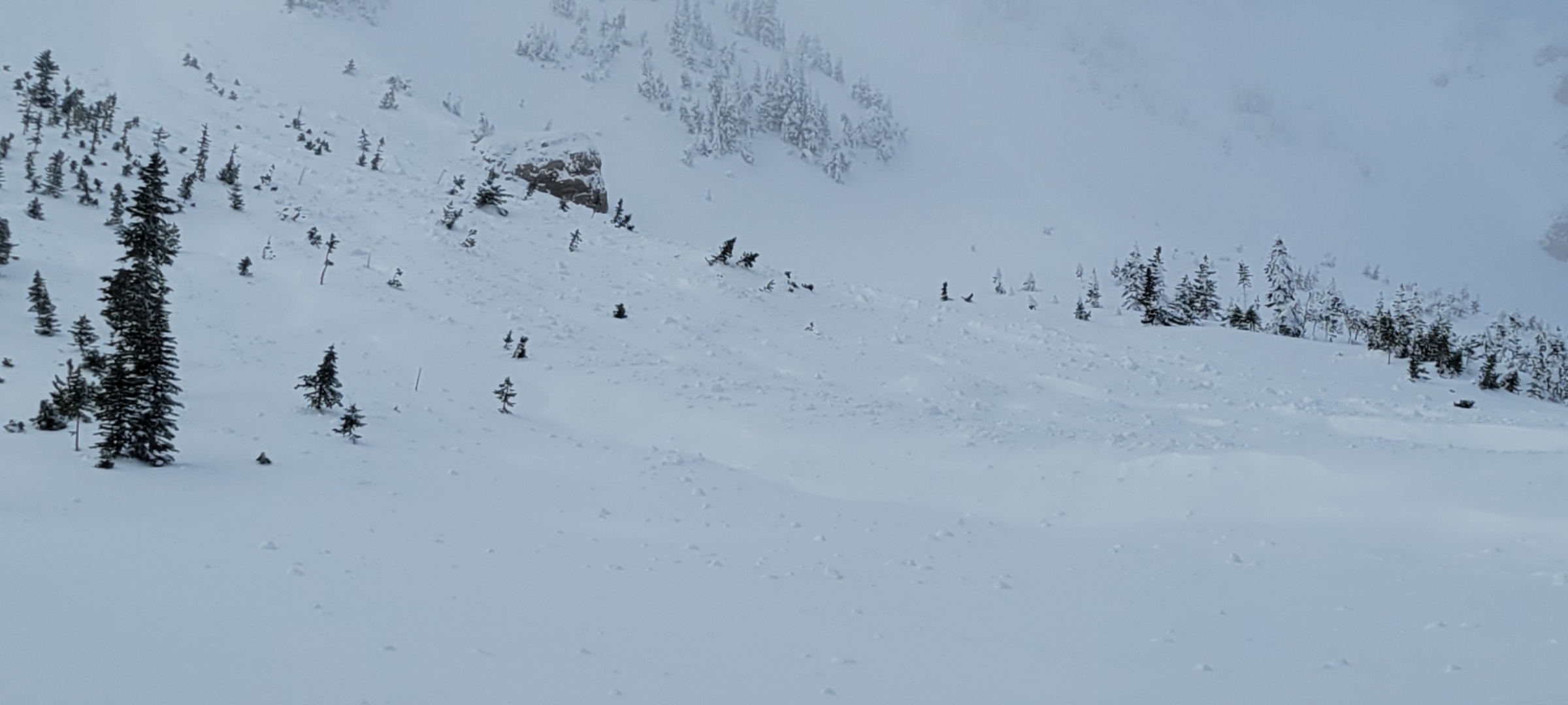
While going for a walk up the main fork of hyalite today I spotted this crown below the upper cliffs on the maid of the mist
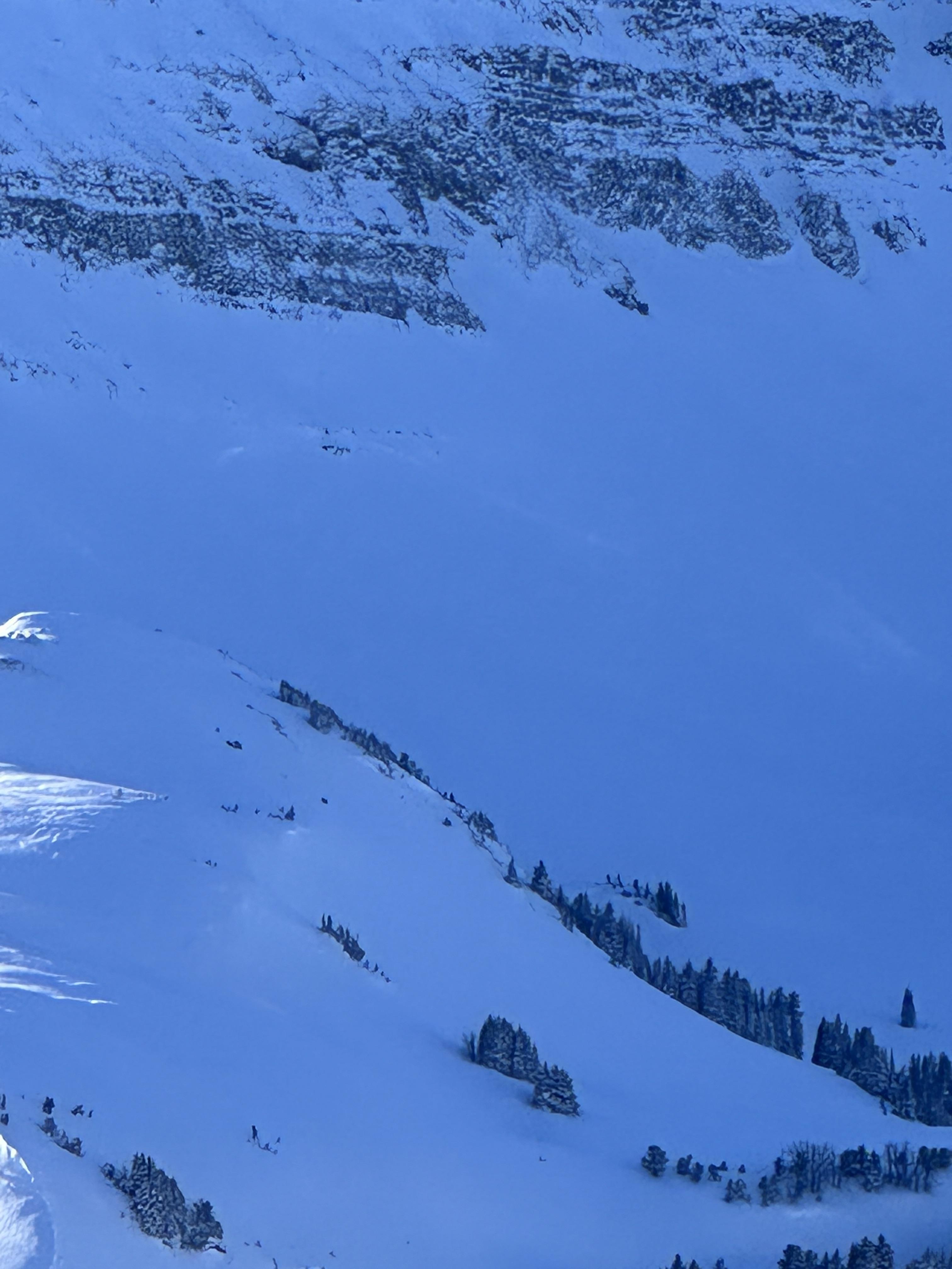
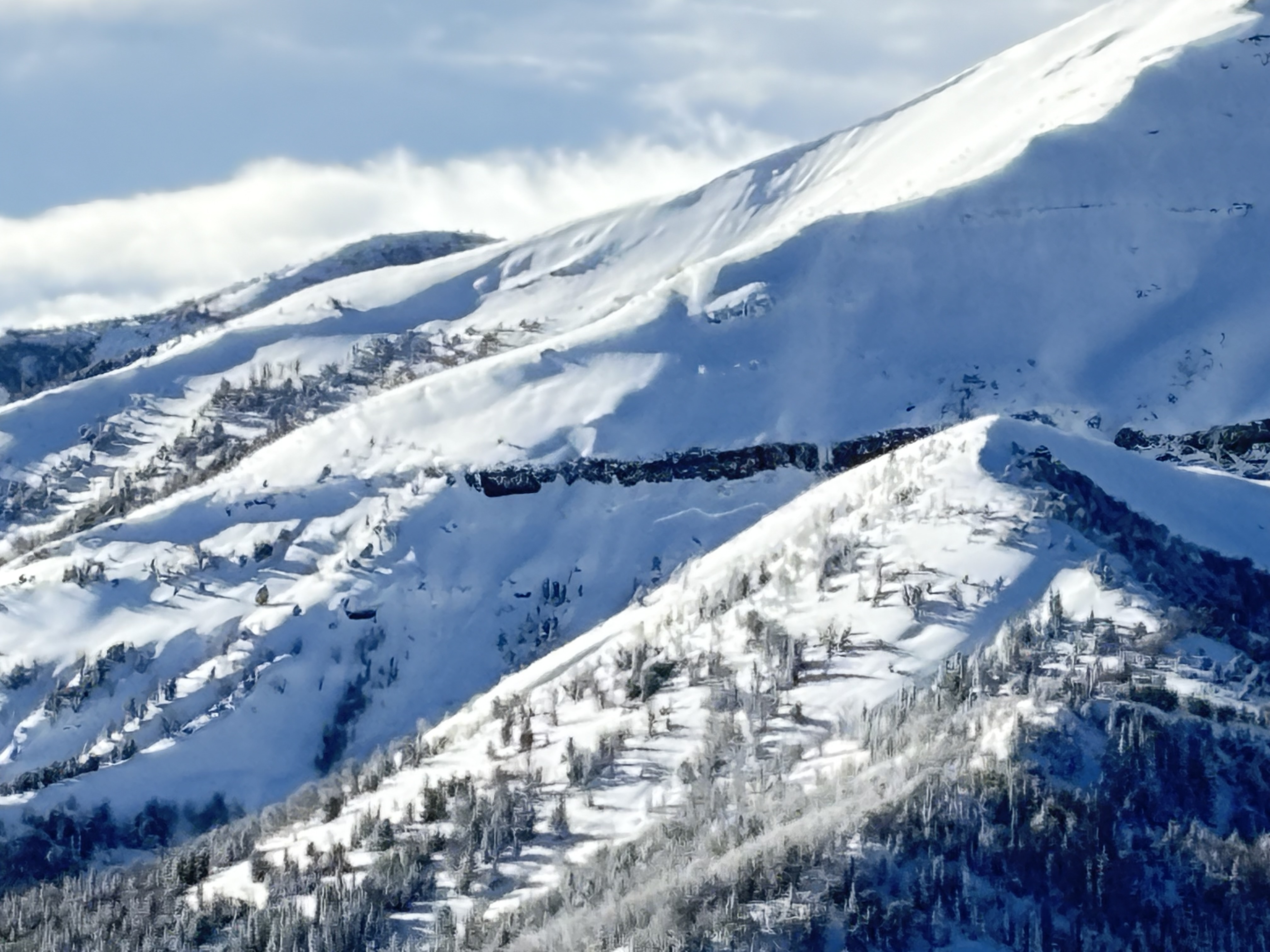
Full Snow Observation ReportMultiple large avalanches on different bowls and different aspects of Cedar. Photos taken from Yellowstone Club by YC Ski Patrol. NE and E aspects. Both approximately 9400 feet elevation. Shaded photo is N aspect, photo with sun and shade is NE.
Full Snow Observation ReportJust wanted to send in a quick ob about snowfall.. in the last 24 hours at the Roost it snowed about 4 inches despite Fisher recording 0 inches of SWE
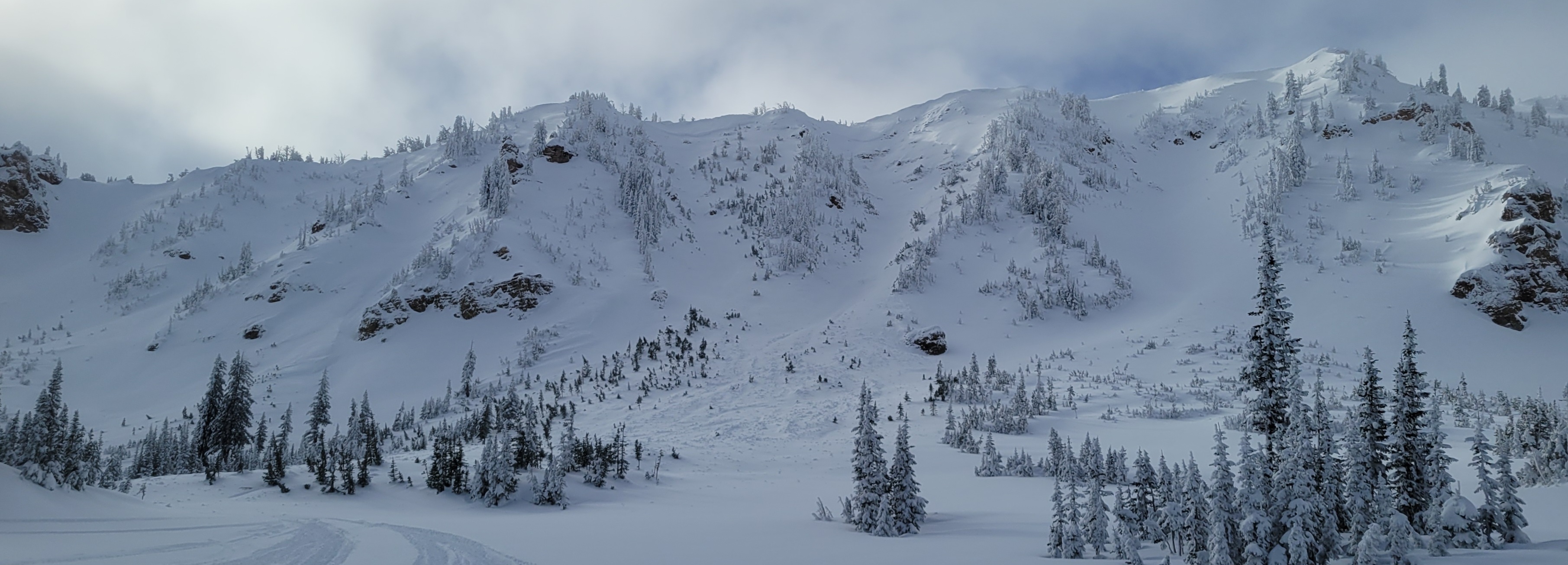
Full Snow Observation ReportWith decent visibility we drove up Bridger canyon to Battle Ridge to look for recent avalanches. The most noteworthy was a slab 500'+ wide, 2'+ deep in Argentina Bowl (photo), and there was an R1-R2 sized debris pile below the Saddle Peak cliffs, but clouds obscured the top of Saddle. There were a few short, small wind slabs that broke along the ridgeline north of Bridger Peak. We also saw a 150' wide storm slab in Truman Gulch (photo).
We looked at the snowpack on the west side of the range in Truman Gulch. In four snowpits HS was 70cm (W, 8200'), 112cm (SW, 8400'), 135cm (NW, 8000') and 140cm (W, 8500'). The two deepest pits had ECTP28 on facets (2mm) 40cm above the ground. The other two had poor structure and soft weak snow in the bottom 30-40cm, but did not propagate in tests. Overall, the snow structure is poor and not trustworthy on the west side of the Bridgers. With more loading we could see big avalanches, whether it's this week, later this month or later in the season, and currently it seems possible a person could trigger a persistent slab avalanche here.
On the ramp there was evidence of yesterday's wind in the form of wind slabs that broke and their debris subsequently drifted over. Today wind was calm to light, and there is plenty of snow to transport if the winds do pick up. A few hours of moderate wind could easily form fresh wind slabs. Snow was starting to fall lightly in the late afternoon.
Full Snow Observation ReportToured up Ellis today. Snow was starting to fall again in the late afternoon. HS varied from fairly thin below 7000 ft to about 110 cm at the top. We found supportable new snow and good skiing. Dug a hand pit at 7500 feet on a NE aspect and found about 50 cm of new snow sitting on facets over a melt freeze crust. At 8300 ft we did an ect on an E aspect and found a similar structure but had no results.
Full Snow Observation ReportToured up into Blackmore basin this afternoon and skied the SE Shoulder. Moderate winds from the north were transporting some snow, but I was surprised by how calm it was up there. Small cornices had built up on the shoulder. S-1 snowfall beginning at 2pm and increasing as I skied out. The coverage is amazing - nearly tree skiable in the forest and HS on the shoulder around 9650' was 160cm. Top 100cm was F-1F hardness; bottom 60cm were weaker, faceted grains. I saw no cracking or collapsing.
The one thing of note was a recent avalanche on the north face of Blackmore. Visibility was poor but it was a small pocket in a steep, rocky zone that broke near the ground.
Full Snow Observation ReportBig whumph as we stepped up onto the lower meadow to dig a practice pit. Pit was about 75cm deep, NE aspect, looking toward Trail Creek Road. CT12, 3cm from the ground, ECTP 16 on that same weak layer of facets just above the ground.
Full Snow Observation ReportToured up northwest of the bacon rind trailhead to the ridge. Did two pits, both with similar failures on the buried weak layer during ECT. Pleasant skiing in low angle terrain. Roller balls made an appearance down low @ 7400”.
Pit 1
44.96190, -111.08941
95cm snow depth ECTN21. Failed on faceted snow that existed 23-35cm above the ground.
Pit 2
44.95982, -111.09903
100cm snow depth
ECTP17. Failed on faceted layer 30cm above the ground.
sugary fist snow 20-30cm above the ground; somewhat consolidated 4F storm slab 30-60cm; powder fist snow 60-95cm
Skied above hebgen today, and conditions were similar to what they were a couple days ago. An east facing pit at 8700’ had 85 cm of snow and failed on facets near the ground at ECTP 16. I ski cut a steeper slope and got no result, but my larger-volume partner was able to trigger a slide that broke 40-50’ wide and ran to the ground and through some trees. This was immediately adjacent to the fresh tracks of a very fortuitous skier and their pooch. Subjectively, it seemed like the basal facets had a bit more moisture in them today, but they are not strong yet.
Full Snow Observation ReportHere are some observations from our tour in Specimen Creek this morning.
Winds remained steady throughout the day and were blowing from the southern half of the compass. Many ridgelines had been scoured down to the grass from yesterday's winds. HS was around 100cm around 8k feet and significantly shallower at lower elevations. New snow totals from the past couple of days was around 20-30cm. We experienced a remarkable number of thunderous collapses throughout the day (I lost count), one of which triggered an avalanche into Specimen Creek while we were in the flats. See attached photo.
I'd give this area a few more good storms before the touring is worth it back there. Lots of tree-dodging!
Full Snow Observation Report
Almost constant Whumphing at higher elevation. Saw couple days old avalanche on a windloaded east north east facing slope. This area in known as Yahoo.
Full Snow Observation ReportFrom IG messages
Full Snow Observation ReportFrom IG message
Full Snow Observation ReportWe toured into some mid-elevation skiing in the N Gallatin on Wheeler Mountain. I was surprised that we weren't getting collapsing, given the recent loading, but, at the end of the day, I only heard one localized collapse.
The big message from the day was touchy surface conditions. When the storm abated in the afternoon, there was 9" of new snow. The most recent pulse of snow came in upside down, and we observed cracking in the top 9" every time we moved into slightly steeper terrain. We saw one R1-D1 natural avalanche on a ~35 degree slope (this was the steepest terrain we visualized today). The slide broke 15-20' wide and ran less than 50 feet. This storm slab instability will heal relatively quickly, but I expect to trigger D1 and 2 avalanches on most steep terrain today and maybe tomorrow.
We tested the deeper weak layer with an ECT at the top of the meadows (ECTP25). Again, I was surprised by the lack of evidence of deeper instability. I wouldn't trust it until we get a few more data points and we get some visibility to assess avalanche activity.
Full Snow Observation ReportCONSIDERABLE was great today with the storm slabs. The persistent slab felt more MODERATE, but I was day off skiing, not hunting for instability, and we were barely cresting the 30 degree mark with our terrain selection. I'd hold the CON for another day and consider the obs before lowering.
Felt two very large whoomps (collapsing) just off the big springs/two top trail. They happened in the same spot 5 minutes apart.
Full Snow Observation ReportToday, we rode up to Buck Ridge and into the First and Second Yellow Mules. It snowed lightly and winds blew predominantly from the North. Visibility was virtually non-existent all day. No signs of recent avalanches were seen beyond one that was reported to us on 12/30 in the First Yellow Mule (Observation). No cracking or collapsing was noted.
We dug snowpits in both the First and Second Yellow Mules. They both showed layers of new and decomposing snow on top of weaker layers near the base. In the First Yellow Mule, our pit location was notably shallower and had well developed facets and depth hoar at the base.
Winds were actively redistributing snow all day. The snowpack continues to be tested by the weight of new snow over the last week, and now by stronger winds. Weak layers exist at the foundation of the snow. Keeping all that in mind, we chose to stay off of slopes steeper than 30 degrees. And thankfully, with daily snowfall this week, there is great coverage and a lot of fun to be had riding low-angle powder.
Full Snow Observation ReportToured up to the low angle meadows on the NE shoulder of Ross Peak. Dug a 8000ft and found no action in an extended column test but a significant result in a propagation saw test (PST END 20/100) at about 90 cm down. Some recent small avalanches in steep terrain along Brackett Creek that broke naturally within the storm snow from 1/3.
Full Snow Observation ReportRemote triggered this avalanche at Lionhead. We were snowmobiling to the left of where the avalanche occurred. No one was caught.
Coordinates: 44°43'36.8"N 111°19'05.0"W
Full Snow Observation ReportToday, during a level 1 avalanche course north of Cooke City, we did a total of 7 ECTs north of Companion Lake. We did 4 ECTs at 9640ft, two on a NW aspect and two on a SE aspect. These were all ECTNs in the mid 20s. We did 3 more ECTs on a north facing slope at 9380ft. Here we got two ECTXs and one ECTN 25. The buried surface hoar layer from early December was visible in every pit, ranging from 90 cm to 105 cm deep. The deepest snow we found was 185cm.
Full Snow Observation ReportToured up the ramp this morning, found between 3-6" of new snow on the skin track, winds were fairly strong from the north/northwest and moving snow. Snow was falling heavily for the duration of the tour. As we made our last switchback in the ridge line meadow (8500ft directly east facing) near the top of the ramp, we triggered a wind slab. It propagated about 200 ft wide and was 3 ft at the deepest point. Interestingly on the edges and near the bottom (downhill side) of the slab it was only a few inches deep. It broke on the interface between the wind loaded snow and the light and dry snow we received a few days ago. When we entered the upper meadow there was no evidence of tracks from the day before. Further down the ramp we found cross loaded rolls that produced shooting cracks and collapses, and active snow loading from the new snow and wind. A half hour later on our ski down, the skin track was partially buried by new snow as we exited the area.
Full Snow Observation Report
