Snow Observations List
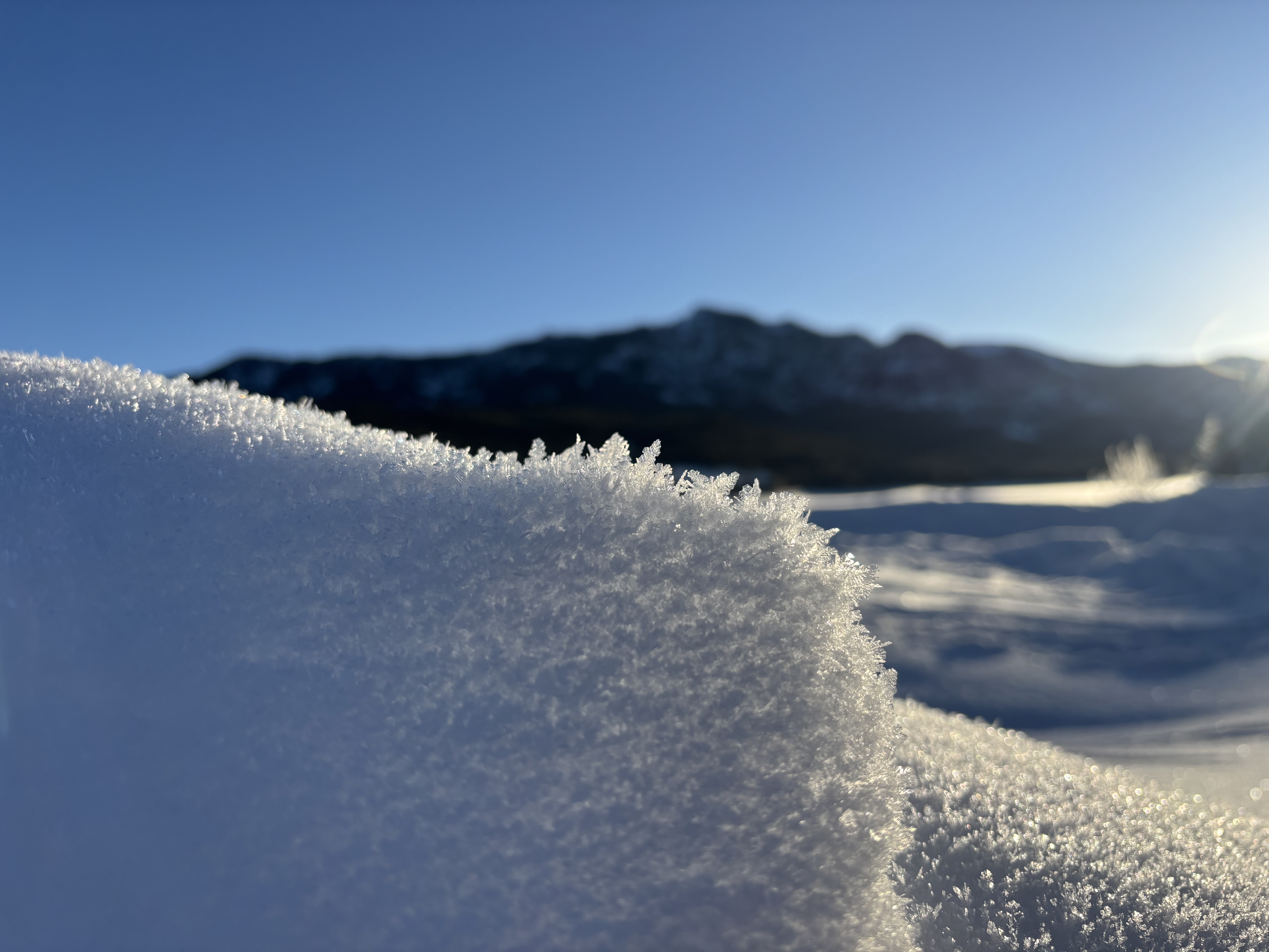
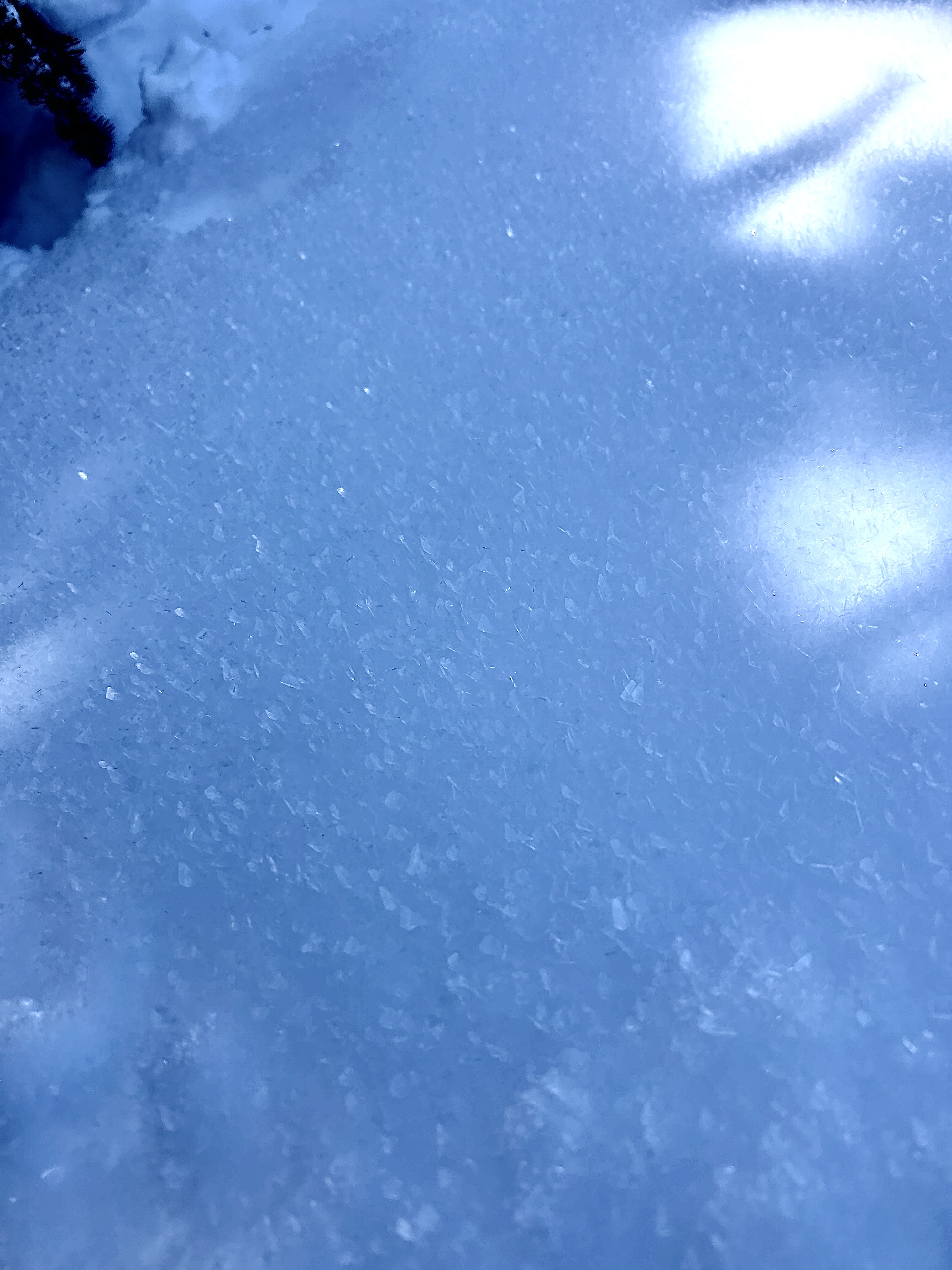
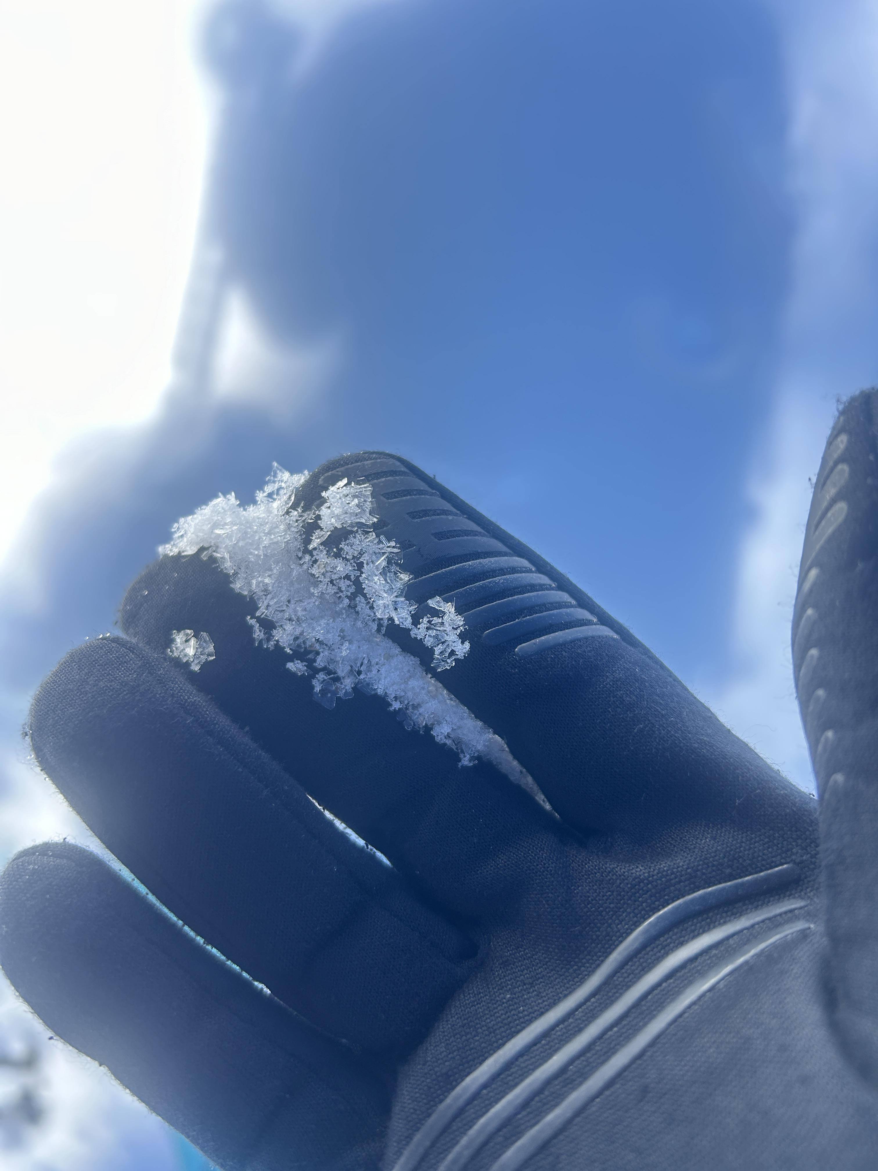
Large surface hoar across a variety of elevations and aspects at Lick Creek. It was 2-5mm large and present on almost all flats and non-solar aspects, and from the road up to 8500 ft and above. The most recent snow was wetting out on the solars, and temperatures were well above freezing at my car when I got back to it in the early afternoon.
Full Snow Observation ReportToured up Ellis. Observed well-preserved surface hoar in meadows and on the ridgeline on NE aspects. MF crust starting to form on SE aspects. Dug at 8230’ on an ESE aspect. HS 120. Found the buried surface hoar layer from a few weeks ago down 25cm. Got collapsing but no propagation on this layer. Beautiful day!
Full Snow Observation ReportTook the ridge out to Bridger Peak. Winds have done their damage and skiing conditions were quite bad. Winds had affected snow at nearly all elevations.
Snow depths on SE and NE aspects were 120 cm, and the snowpack is dense, hard, solid, and stable. We couldn't find any evidence of near-surface facets from recent cold weather and clear days/nights. The combination of wind and warmth destroyed them if they existed.
On south aspects, the snow had become wet, and we spotted a few rollerballs/pinwheels - mostly near exposed rocks.
Full Snow Observation ReportDrove up the road to the summit of Sawtell Peak for some weather station maintenance (it's back up and fully operational!).
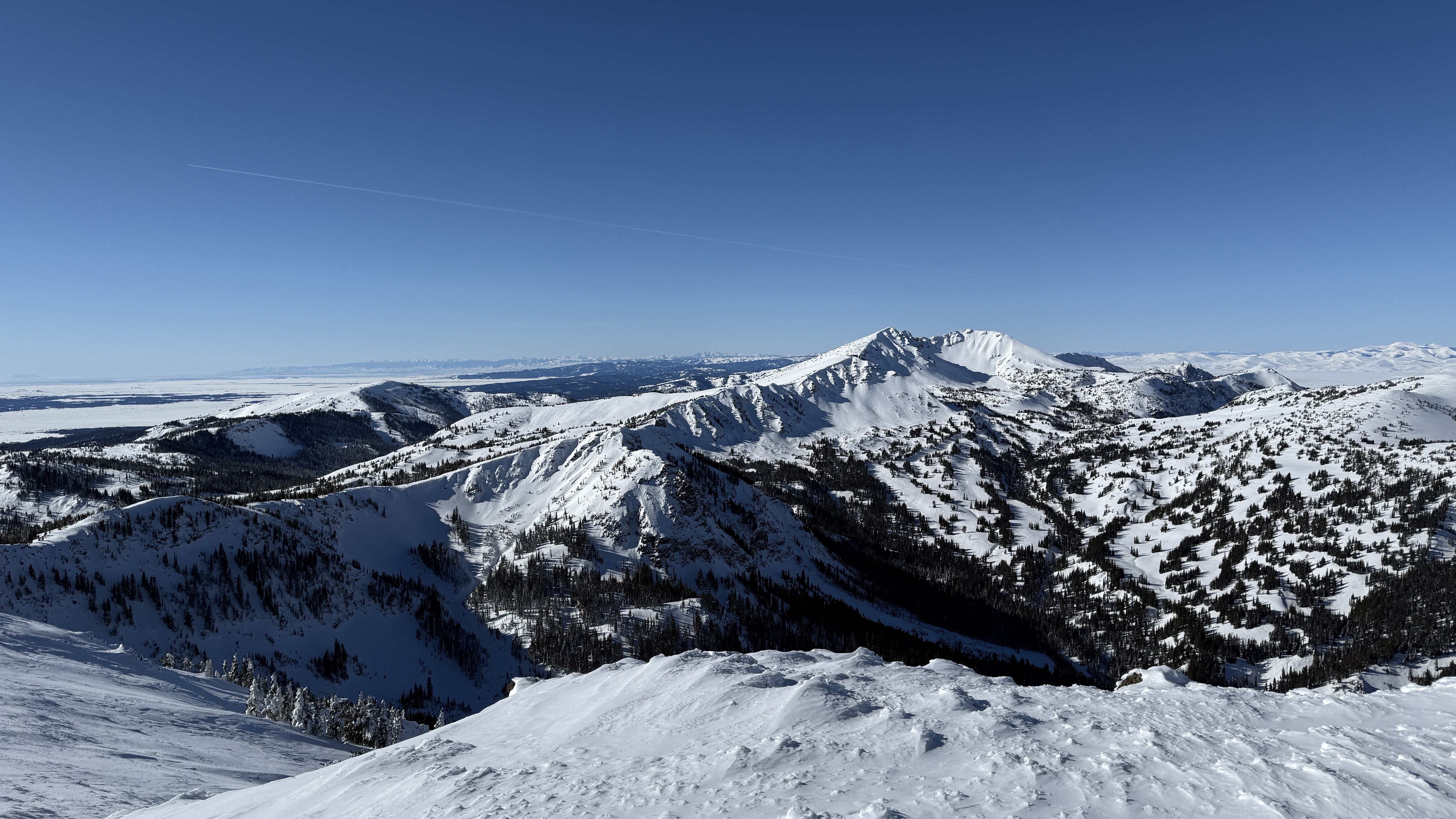
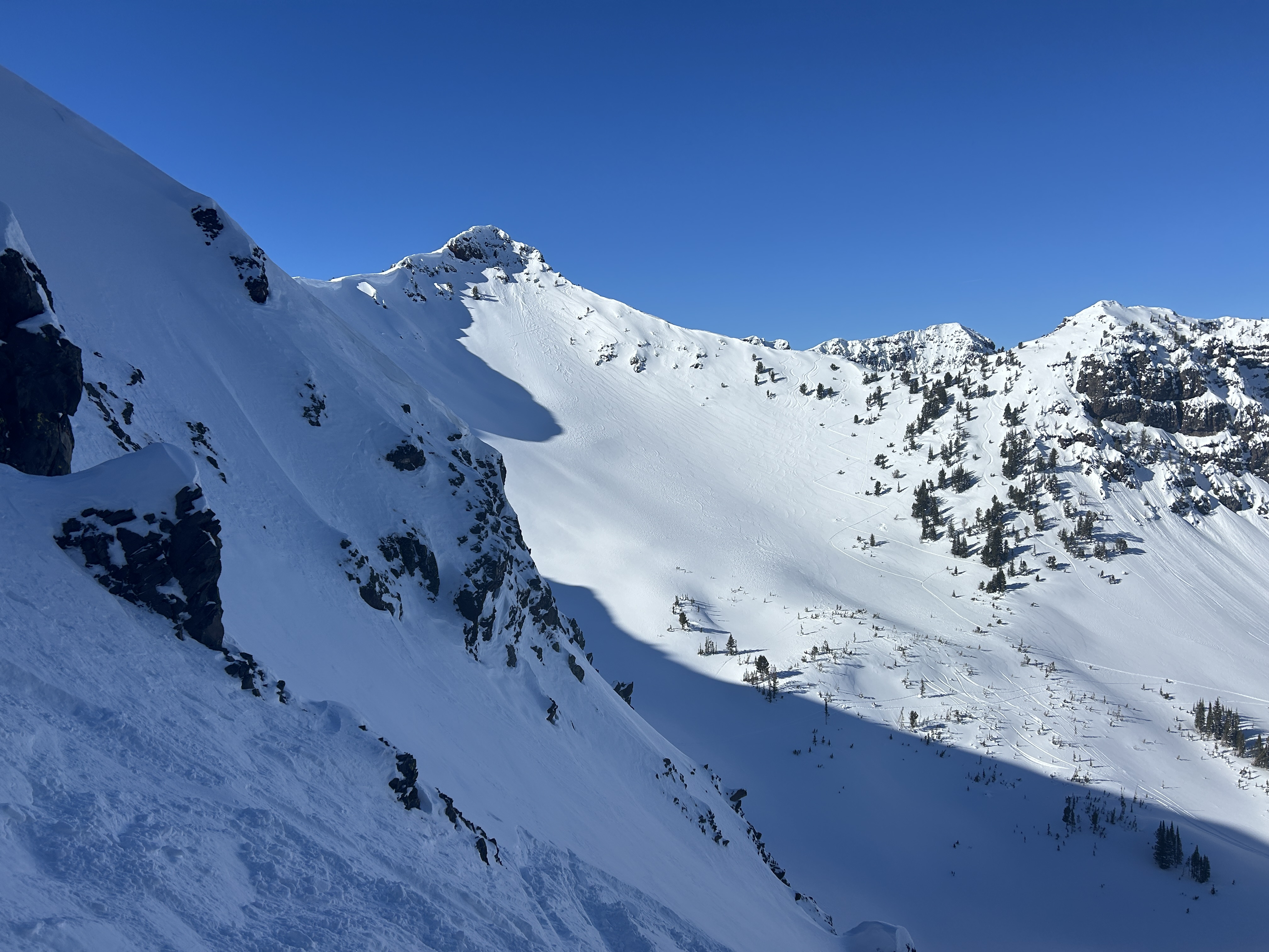
Had good views into the Centennial Mountains from the summit (Mt Jeffferson, Reas Peak, head of Yale Creek) and saw no signs of avalanche activity.
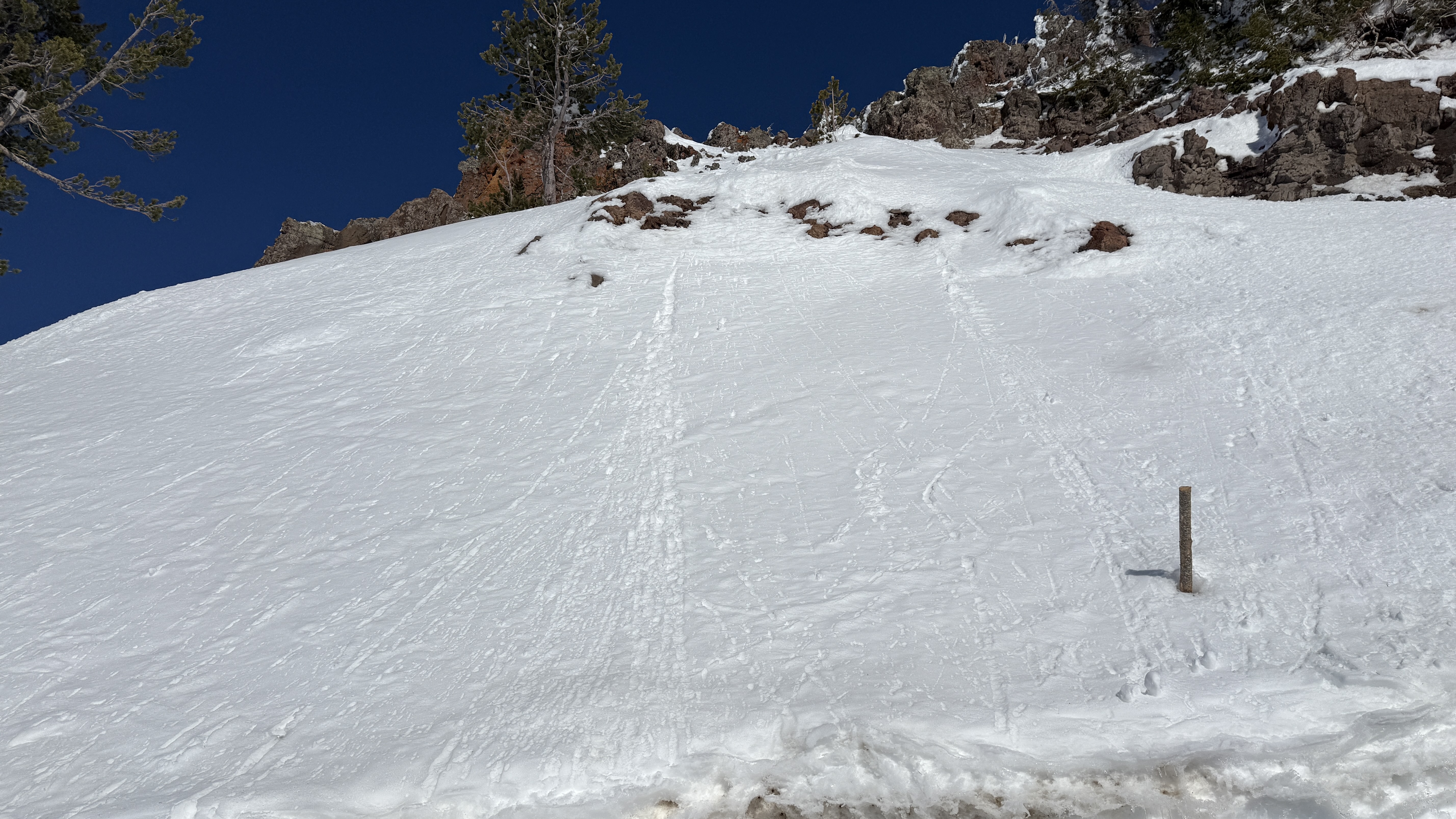
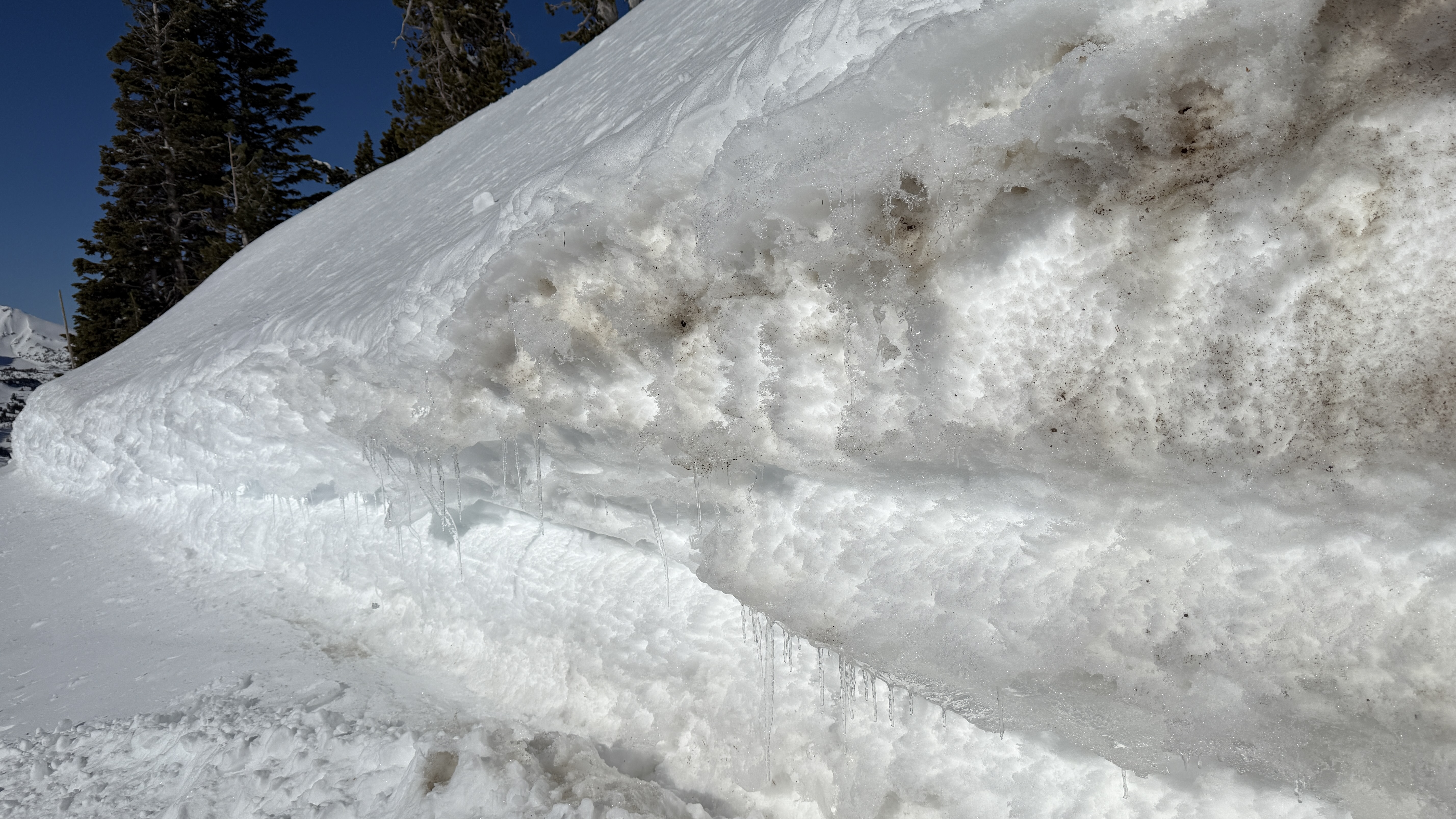
The top inch of the snowpack was moist on south facing slopes at 9800 ft around noon and there was water running out of the cutbank onto the road. A few roller balls were visible, but didn't see any other wet loose activity.
Full Snow Observation ReportLots of tracks everywhere - climbing onto all sorts of slopes.
Recent avalanches noted on the NE-E aprons on cedar mountain. SS-N-R2-3-D2-I These appeared to have possibly happened during the last storm cycle and looked to be isolated to layers within the new old snow interface. I also noted similar activity on the same aspects on the adjacent ridge during our approach.
Full Snow Observation ReportPretty widespread surface hoar this morning near Hyalite Reservoir. It didn't seem to be as widespread higher up on Mt Blackmore, but we did see some pockets of it up there.
Full Snow Observation ReportFrom IG Message: Wind slab avalanche on “east facing slope in hyalite”
Full Snow Observation ReportWidespread SH had formed over the past couple of days in areas on the approach that were out in the open but shaded from the wind. We observed cornices in the back of the basin (NE/E facing) and a small wind slab had broken off underneath them. Wind-blown snow had filled in the skin track and ski lines from yesterday in maiden bowl. The sun was baking the southern facing slopes for most of the day today, and when we skied out, the snow in the direct sunlight was wet.
Full Snow Observation ReportWe skied up west Woody Ridge and skied down into Hayden Creek about 500 feet, then back up and over, and out Republic Creek.
Skies were clear with calm winds and a light breeze at the ridgetop. Temperatures were still mostly cold, single digits down low and teens up high in the morning. The sun felt hot mid-day, snow bombs were falling off trees and there were some small rollerballs around steep rocks on southerly facing slopes.
We saw one old, but very large persistent slab avalanche further up Republic Creek (pictured). It was on similar aspect and elevation as a somewhat more recent persistent slab in nearby Hayden Creek, North-northeast, 10,000'. It appeared to be 6'+ deep and 500'+ wide. The bed surface and crown had been partially drifted in, so it seemed it was probably at least a week old...?
There was also a recent cornice fall on a very big steep slope up Republic Creek (picture) which did not trigger anything large or deeper, but entrained some snow and ran over a thousand feet vertical.
We dug a pit at 9,900' on a west aspect. Snow depth was 150cm (5 feet). We had an ECTN11 below 3 inches of snow on top of small sugary facets near the surface. There were soft (4f+) sugary facets at the bottom of the snowpack, but they did not break in an ECT or with extra force. Snow depth above 9,000' was ~4 feet average based on a few places we probed as we toured up.
There were signs of a lot of previous wind up high. It has been a few days without wind, but there are probably some isolated instabilities of small stiff wind slabs sitting on facets which could be triggered.
Full Snow Observation ReportWe triggered a small soft slab avalanche when skinning near the top of Pair Of Chutes in the Playground. The slab was about 1 foot thick, fist hardness, propagated 20 feet wide and ran 50 feet before breaking up and arresting. The slab did not entrain additional snow as it slid. The avalanche hit my feet but did not disturb my balance. However, it could have been dangerous above consequential terrain. Moderate gusting to high winds were sustained the entire day and wind slabs were widespread in the backcountry terrain north of Bridger.
Full Snow Observation ReportWe saw most terrain in the motorized area north of Cooke City. We went passed Round Lake to Goose Lake wilderness boundary, around the north of Sheep Mtn. and Scotch Bonnet to Lulu Pass, out to Mt. Abundance, back south over Daisy Pass, and around town hill/Miller Rd., then up and down Sheep Creek to the top.
Skies were clear and wind was calm to non-existent with cold temperatures (singles to teens F).
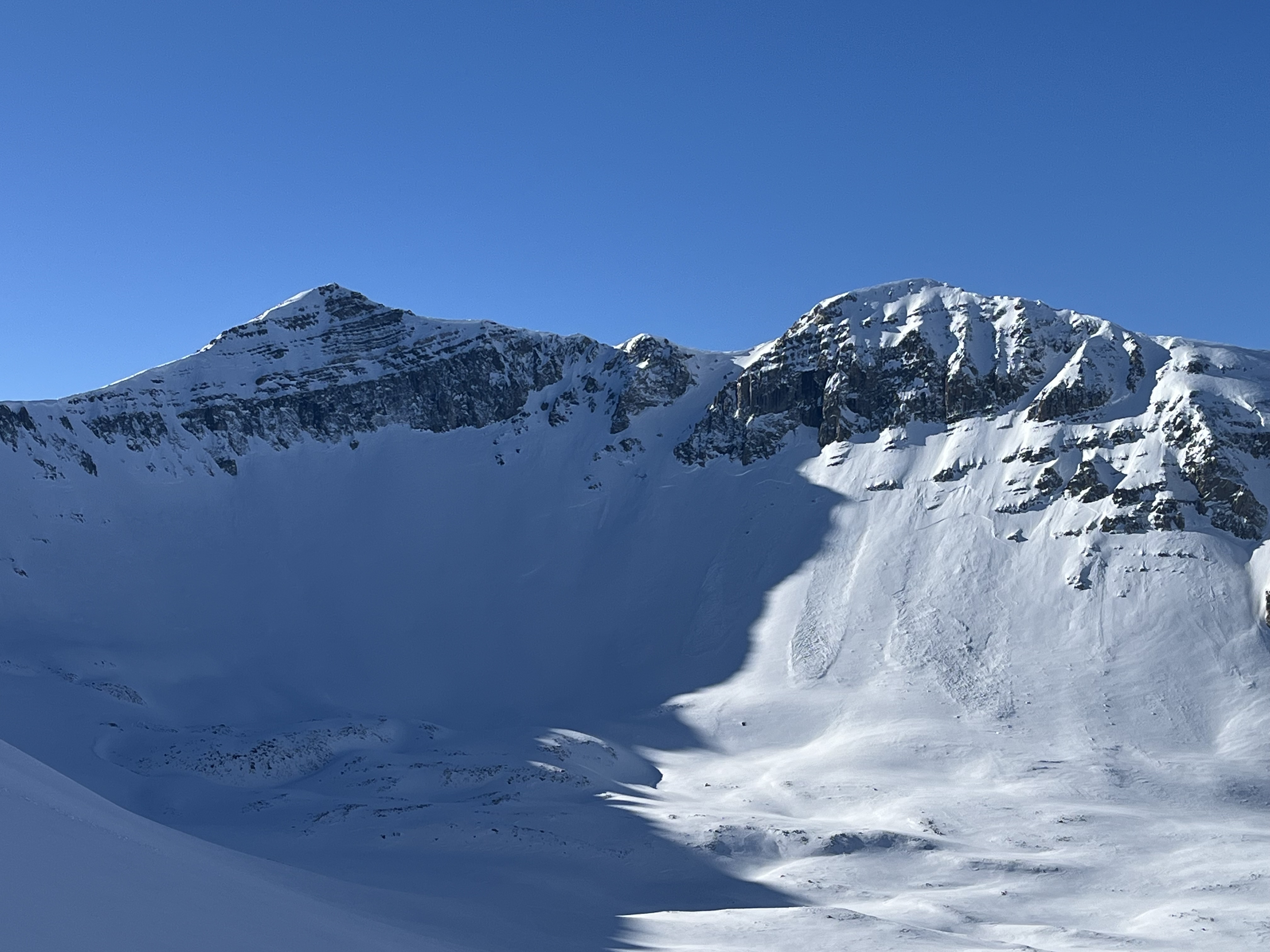
We saw a handful (4-6?) of old wind slab avalanches of various ages. The most recent and largest appearing, but still not very fresh, was on the north side of Scotch Bonnet (attached photo). Most were D1-D1.5, the slide pictured was D2.
We dug on the southeast shoulder of Mt. Abundance (profile attached). Snow depth was 3.5-4 feet and we had ECTNs. There were some soft-ish facets near the bottom of the snowpack. We also dug a pit in Sheep Creek and had an ECTX, snow depth of 4-5 feet. We did a lot of hand pits to look for recently buried facets. Small sugary facets were generally easy to find, buried 3-6" deep below soft snow. If and where snow is drifted into thicker slabs, these facets might make those slabs more reactive.
A lack of recent avalanches combined with minimal recent loading from new snow and wind point to avalanches being unlikely. The recent large persistent slab in Hayden Creek shows that although slides are unlikely they could be big. We would rule-out big slopes that are heavily wind-loaded, and otherwise feel ok in steep terrain while sticking to safe travel protocols (carry a transceiver, probe AND shovel, and only expose one person at a time to avalanche terrain).
Full Snow Observation ReportWe skied north from Texas Meadows to the Playground. Strong southerly winds were actively building wind slabs up to 25 cm deep in immediate lees at treeline. We experienced a few instances of cracking in this wind slab, propagating 2 or 3 meters from our ski tips.
Full Snow Observation ReportAttempting to ski the Hellmouth The snowpack appeared very stable on most aspects, however when dropping into the northwest face of Alex Lowe peak up and lookers left from the couloir the snowpack was extremely wind scoured. There was maybe 6 inches of un compacted facets below two inches of wind slab. Slightly farther down slope the snow became deep enough for me to put in several jump turns on ski belay. After coming off belay I skied forward maybe 5 feet and broke off a wind slab around 20 feet wide and five feet below me. Shifting my weight right after that the snow below me also broke and slid away. After that I booted back to the ridge and we safely descended the south east face.
Full Snow Observation ReportWhile touring today, we saw a deep slab avalanche at the southern end of the Hayden Creek drainage. NE aspect. It seemed to be recent, likely in the last day or so.
Full Snow Observation ReportHere are our observations from Cooke City today. Our plan was to tour up the south side of Miller Mountain as far as we felt comfortable. Winds were mostly calm during the day, and temperatures were darn-right cold all day, even on southerly aspects. It was -26F when we pulled into town.
The sheep creek drainage had a lot of evidence of prior wind transport, most non-sheltered aspects had textured snow. We dug a pit at 9600’, HS was 190cm! At 150cm above the ground, we encountered a 1cm thick melt-freeze crust with small facets forming over it’s surface. We also noted 4-finger basal facets all the way at the ground.
Our ECT produced nothing terribly remarkable. ECTN25 and ECTN26 on the melt-freeze crust. It could be a layer to look out for in the near-future. The snow above treeline began to stiffen, so we ripped skins around 10k feet and had a lovely ski down.
1 to 3 inches of new snow on top of a very hard base nearly every where with evidence of past wind affect. Condition were Sunny with calm winds and temperatures in the single digits. we saw no avalanche activity cause by snowmobilers or people actively skiing the Hollywood wall. Lots of people around.
Full Snow Observation ReportIt was a beautiful, cold, clear-few, morning with very little wind.
HS ~140cm on an E/SE aspect at 7500'. HN24 of ~10-20cm between 7500-8500'. HN is light and unconsolidated with no evidence of wind transport. A thin, breakable MF crust was observed in similar elv. bands in east-facing trees below the new snow. Two hand shears had planar results on this layer but snow above the crust did not have slabby characteristics. No cracking or collapsing was observed. L-ASc-R1-D1-I sluffs occurred while skiing.
Full Snow Observation ReportToured into Pebble Cr drainage.
2 to 4" of new, low density snow.
Saw evidence of wind loading and two older, small slides on N facing aspects of some W - E sub ridge lines. Slides both appeared to be from wind loaded snow that broke right below the ridge line on the leeward side. 100 to 150' wide, 18" deep and running for 100 to 200'.
No cracking or collapsing found on any aspect during the tour and we couldn't get anything to move.
Nice snow wherever you could find a wind protected area.
Full Snow Observation ReportWe rode out Buck Ridge, through Second Yellow Mule, around the top of Third Yellow Mule, and through the top of McAtee. Snowed average S1 all day until 2pm when we rode out, and was still snowing up high at that time. Wind was light from the north. Minimal drifting and transport in the morning, but some very shallow, very soft slabs cracked on wind-loaded slopes near the ridge. Avalanche activity was limited to very small F- dry loose and some F- 2-4" soft slabs. Visibility was not great though. Natural and triggered by us on small test rolls.
There was 4" of new snow on average, and up to 8" of low density snow in places. Below today's snow there was 1-2" of snow from earlier in the week, and that was on top of a layer of surface hoar in some places or soft facets in most places.
The primary concern was and will be where the recent snow gets drifted into thicker or stiffer slabs. Recently buried weak layers might make these fresh wind slabs easy to trigger initially, and possible to trigger for longer into next week. Where today's new snow was not drifted there was minimal hazard aside from small dry loose avalanches.
We dug on an E facing slope at 9,400'. HS was 155cm and we had an ECTN12 on the surface hoar layer at 130cm above the ground.
Full Snow Observation ReportVery touchy storm slabs formed throughout the day. 6-8” deep by 3pm. low density snow/slab but very fast moving. We were able to trigger steep (35+) rolls with chunks of ice and even got one to go with a falling rope. We saw one natural (d1) that ran ~200’ down a gully near mummy 2.
Full Snow Observation Report

